Hiking in Slovenia » Julian Alps » Lipanca pasture » Lipanca from Zajavornik Alp
The hike from Zajavornik Alp is one of the longer hikes to Lipanca; start in Medvedova Konta if your final goal is one of the peaks above Krma Valley. On the other hand, you can often get to Zajavornik Alp in winter when most other roads on Pokljuka are closed, and you probably won’t have any problems finding a parking spot.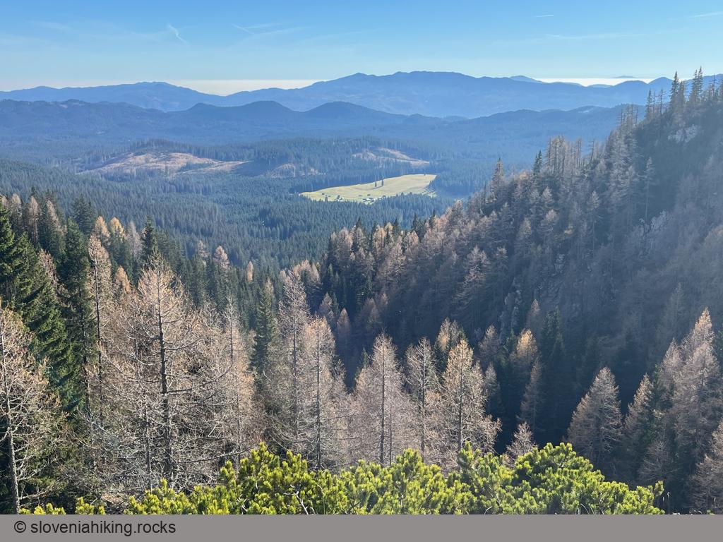
At a Glance
- Altitude
- 1630 m
- Average time
- 2 h
- Elevation gain
- 340 m
- Coordinates
-
Start: 46.362894,13.949082
Peak: 46.375630,13.927670
Getting There
- Park at a large parking area north of Zajavornik Alp.
- Follow the signs for Blejska Koča/Lipanca (and later waymarks) onto a wide, rocky northbound trail ascending through the forest.
- Your trail eventually merges with the one coming from Rupe and turns right.
- Turn left at the next junction (with the trail from Medvedova Konta), and you’ll reach Lipanca in approximately 15 minutes.
Photo Gallery
Map of the Route
The map shows the path we took as recorded by the GPS receiver. Never trust a GPS track wholeheartedly; rely on your senses and maps.