Biking in Slovenia » Julian Alps » Klek Alp
When the low clouds hugging the peaks above the Pokljuka plateau make hiking unpalatable, it’s time to explore the less-visited parts of this natural gem. Let’s grab a mountain bike and visit Klek Alp.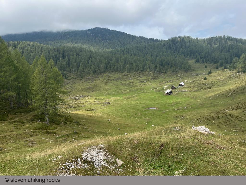
At a Glance
- Difficulty
- Steep gravel roads
- Altitude
- 1540 m
- Average time
- 3 h
- Elevation gain
- 410 m
- Distance
- 21.7 km
- Coordinates
-
Start: 46.349958,13.985428
Getting There
- I parked next to the main road at Mrzli Studenec. It’s even easier if you’re staying at Pokljuka – start from wherever you are.
- Follow the signs for Lipanca onto a gravel road going into the forest.
- Follow further signs for Blejska Koča/Lipanca and Pod Klekom, and avoid closed-off logging roads.
- After ~4 km, turn slightly right following a sign for Pod Klekom (the road to Lipanca goes left) or white/blue biking waymarks.
- Don’t worry when you hit a barrier. The gravel road toward Klek Alp is closed for traffic, but cyclists can use it between June 15th and October 31st.
- Stay on the main gravel road.
- After another ~4 km, you’ll notice a waymarked hiking trail crossing the road. It might be faster to leave the bike there and hike to the alp.
- Still on a bike? Keep to the right on all subsequent junctions until you reach the grassy trail leading to the alp.
- Hike to the alp, take a break, and enjoy the view!
Map of the Route
The map shows the path we took as recorded by the GPS receiver. Never trust a GPS track wholeheartedly; rely on your senses and maps.