Hiking in Slovenia » Julian Alps » From Krnica toward Pokljuka
Hiking from Krnica (a village at the bottom of the slopes of Pokljuka plateau) to Pokljuka takes at least three hours, and it tends to get boring – the landscape doesn’t change, and there are no spectacular views. No problem, a bit of ingenuity creates a nice roundtrip.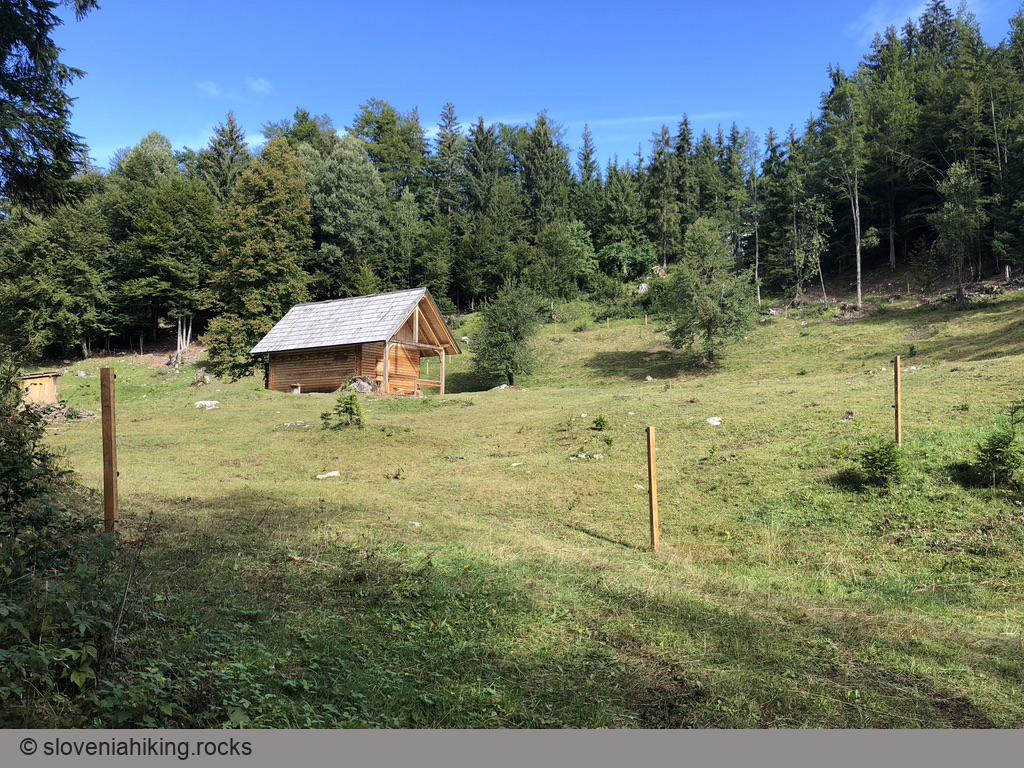
At a Glance
- Difficulty
- Easy hike with a steep section through Pokljuka cave
- Altitude
- 1100 m
- Average time
- 3.5 h
- Elevation gain
- 480 m
- Coordinates
-
Start: 46.378975,14.041821
Peak: 46.38114,14.00345
The Facts: There are three waymarked paths from the edge of Krnica (at the start of Pokljuka Gorge) toward Pokljuka. Numerous logging roads run parallel to the slope and intersect those paths.
The Plan: Take any one of those paths. When you get bored, turn left or right on the first logging road (depending on which path you took), and keep going until you hit the next waymarked trail and use it to get back to Krnica.
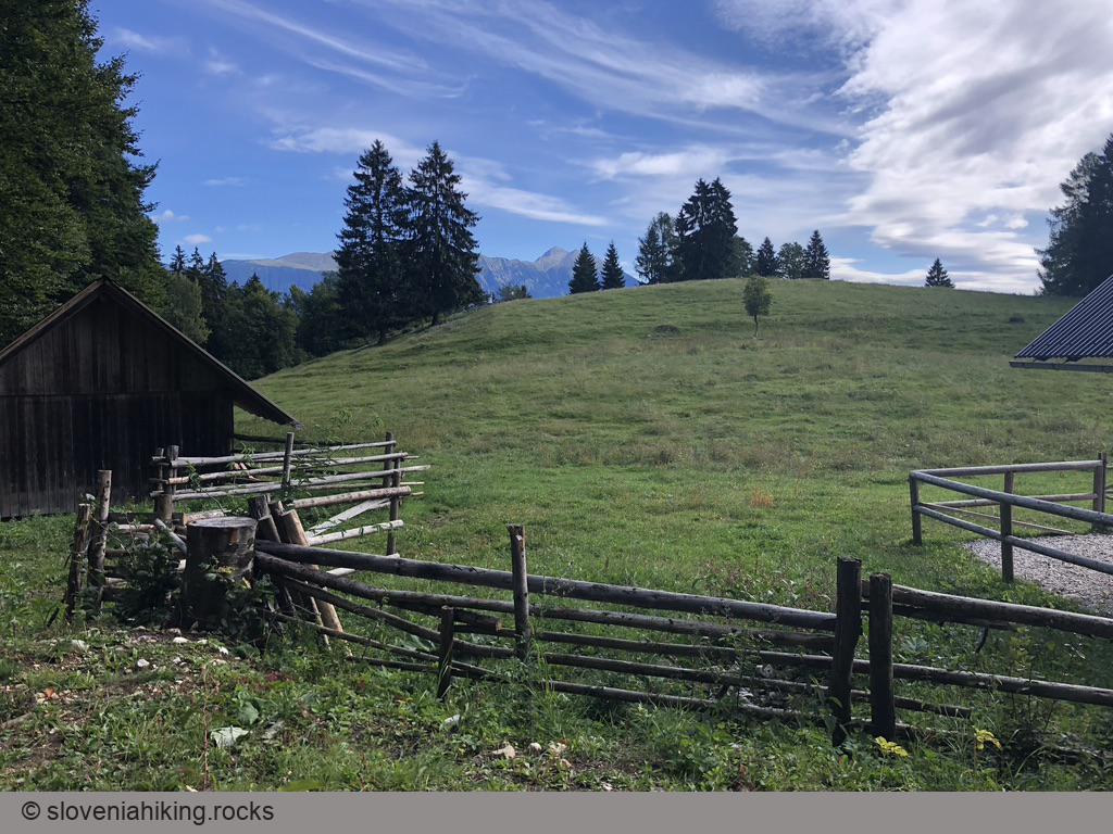
We decided to use the two trails passing Pokljuka Alp:
- Park at the start of Pokljuka Gorge
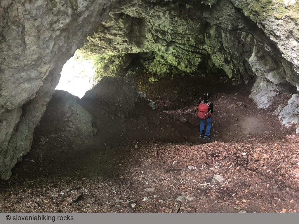
- Get to Pokljuka Alp via the gorge (through Pokljuka Hole) or the dirt road starting at the right edge of the parking lot.
- Follow signs for Klek.
- When you run out of exciting views and get bored, turn left on the first logging road.
- You’ll quickly hit the trail going from Krnica toward Lipanca/Blejska koča. Turn left to return to Pokljuka Alp.
- Follow the signs toward Pokljuška Soteska (Pokljuka Gorge) to get back to the parking lot.
Photo Gallery
Map of the Route
The map shows the path we took as recorded by the GPS receiver. Never trust a GPS track wholeheartedly; rely on your senses and maps.