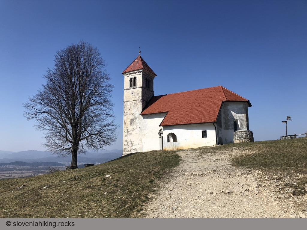
Hiking in Slovenia » Notranjska » Saint Ana above Ljubljana Marsh
The hilltops south of Ljubljana Marsh are dotted with small churches; the most popular of them is probably the church of Saint Ana – you can reach it in half an hour from any nearby starting point.At a Glance
- Difficulty
- Easy hike through a sparse forest
- Altitude
- 484 m
- Average time
-
Ascent: 30 minutes
Descent: 20 minutes
Total: 1 hour
- Elevation gain
- 190 m
- Coordinates
-
Start: 45.968763,14.431054
Peak: 45.969639,14.422101
In a Nutshell
- Park in a small parking lot at the edge of Podpeč Lake. Warning: totally overcrowded in summer and on sunny weekends.
- Follow the hiking waymarks and signs for Sv. Ana (Saint Ana) into the forest and onto a somewhat steeper footpath.
- Dozens of trails crisscross the slopes below the church. Try to follow the waymarks or hiking signs. You could also take any path going up; you’re bound to get to the hilltop sooner or later.
- In less than 30 minutes, you’ll reach the sunny meadows. Look around, find the church, walk to it, and enjoy the view.
Hopefully, you remembered all the forks you took (hint: breadcrumbs rarely work). If not, follow the signs for Jezero to get back to the car.
Map of the Route
The map shows the path we took as recorded by the GPS receiver. Never trust a GPS track wholeheartedly; rely on your senses and maps.
