Hiking in Slovenia » Vipava Valley » Orlovca
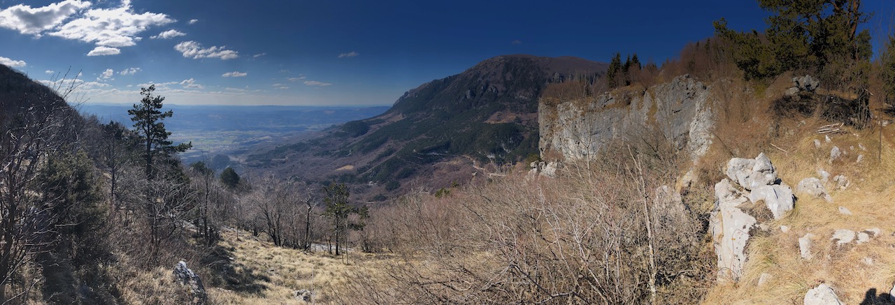
Orlovca (Eagle Rock) is a large overhanging cliff at the edge of Gora plateau high above Vipava Valley. It’s one of the highlights of the Angel Mountain Trail (Pot po Angelski Gori); we’ll use a tiny bit of that trail to get there.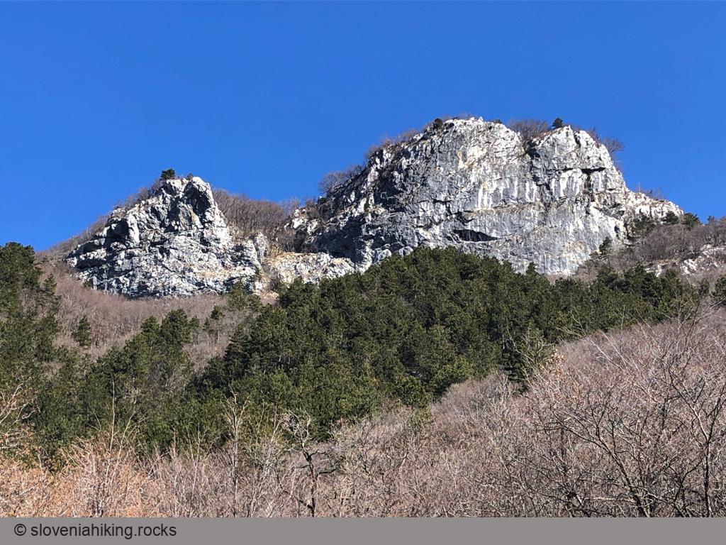
At a Glance
- Difficulty
- Easy hike
- Altitude
- 860 m
- Average time
-
Ascent: 1 hour
Descent: 45 minutes
Total: 2 hours
- Elevation gain
- 320 m
- Coordinates
-
Start: 45.932677,13.886372
Peak: 45.936770,13.890401
Getting There
- In Ajdovščina, take direction Predmeja and follow the narrow road until you reach a decent gravel parking lot opposite a meadow with a huge boulder.
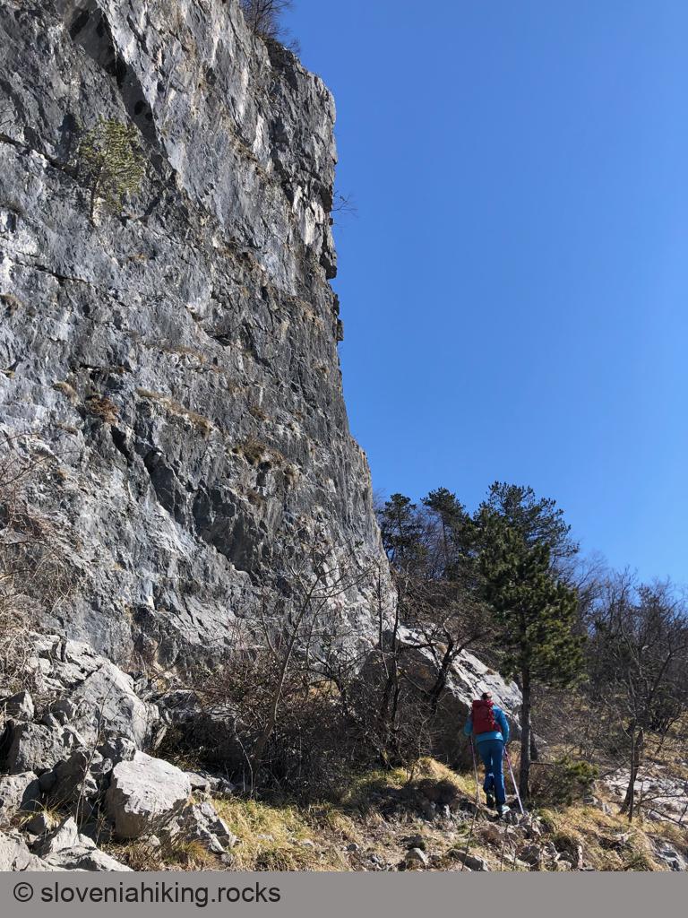
- Follow the Angel Mountain Trail signs (red squiggly thingies on yellow background) onto a narrow footpath ascending through a sparse forest.
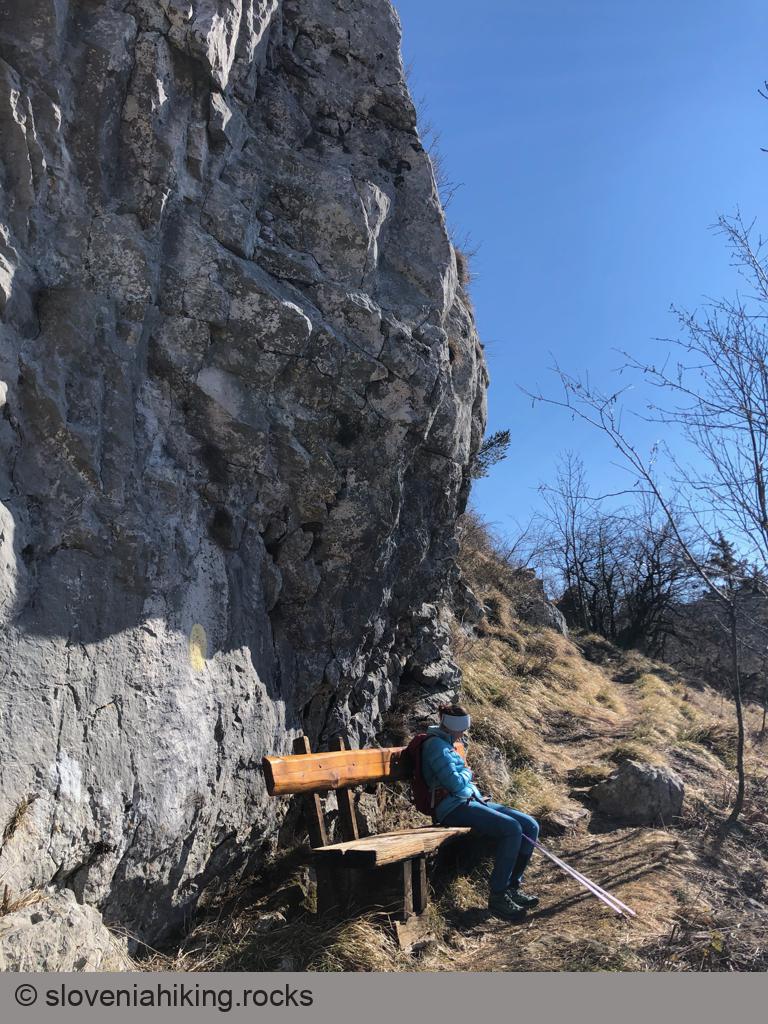
- After reaching an enormous boulder where you could bivouac in case of heavy rains, you’ll notice numerous overgrown footpaths radiating from the main trail – the paths locals used to get from the valley straight to their homesteads.
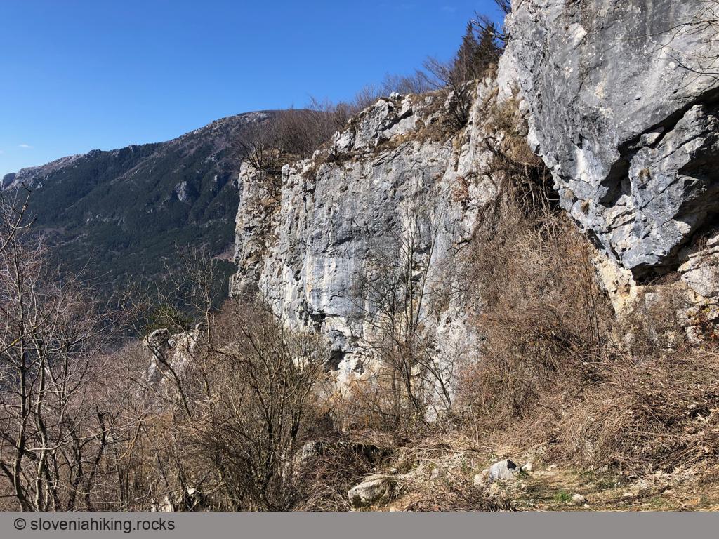
- Follow the main trail until you reach the plateau’s edge, but don’t forget to stop and admire the cliffs.
The day we took the hike, we found the Bora wind too strong to proceed; here are a few ideas in case you want a longer walk:
- Turn right and use the marked trail (Pot po Robu – Edge Trail) to reach Dolski Maj (the next hilltop toward the east).
- Turn left and use the same trail to get to Predmeja. Follow the red squiggly marks onto the old Ressel road, and you’ll eventually reach your car.
- Hike the whole Angel Mountain Trail (supposedly 6-8 hours).
Photo Gallery

View from the Top
Map of the Route
The map shows the path we took as recorded by the GPS receiver. Never trust a GPS track wholeheartedly; rely on your senses and maps.