Hiking in Slovenia » Julian Alps » Mala Mojstrovka
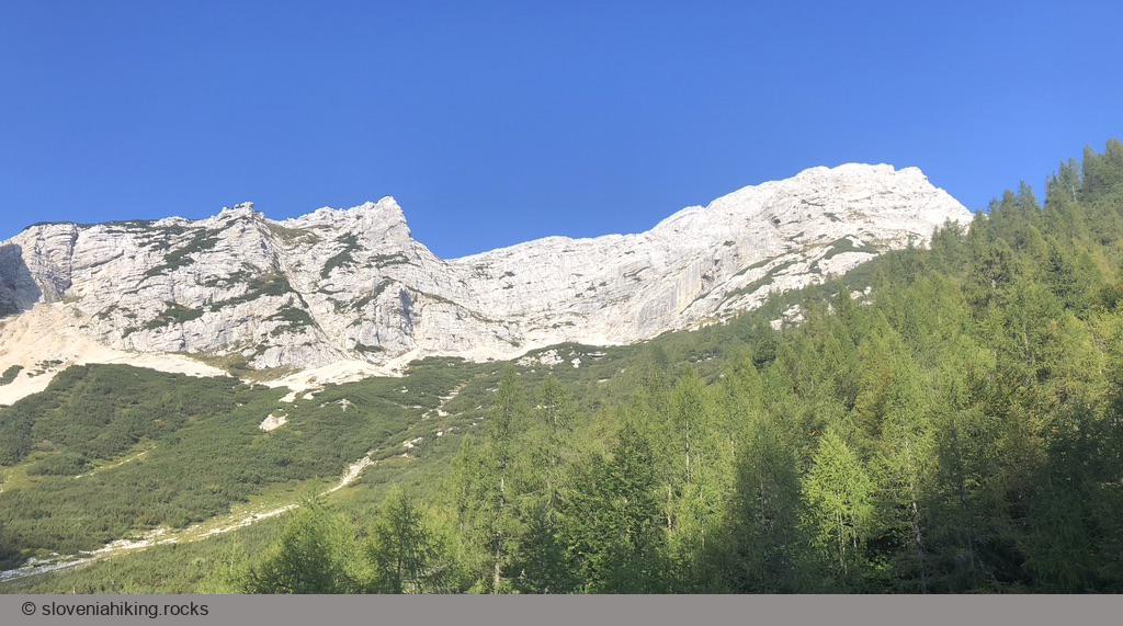
Mala Mojstrovka is one of the most popular peaks in the Julian Alps. The crowds of hikers have successfully worn out the most accessible trail leading to the top, making the hike a somewhat disgusting experience. Fortunately, there are other less popular ways to the top – we’ll get there from Nad Šitom Glava.
At a Glance
- Difficulty
- Unmarked footpath
- Altitude
- 2332 m
- Average time
-
Ascent: 2 hours 15 minutes
Descent: 1 hours 30 minutes
Total: 4 hours
- Elevation gain
- 720 m
- Coordinates
-
Start: 46.433270,13.743304
Peak: 46.437334,13.731097
The hike to Nad Šitom Glava takes an unmarked (somewhat easy to follow) footpath. There’s supposed to be another unmarked footpath on the ridge between Nad Šitom Glava and Mala Mojstrovka, but it managed to stay almost invisible when I was there. Consider this a hike for experienced mountaineers.
- Hike to Nad Šitom Glava.
- When enjoying the view from the top, observe a footpath zigzagging across rock scree on the eastern slopes of Mala Mojstrovka. You want to get to the point where that footpath meets the ridge between your peak and Mala Mojstrovka.
- Now that you know where to go, follow the ridge (staying a bit on the left side, away from the abyss of the northern rockface), trying to find the most straightforward passage across the boulders.
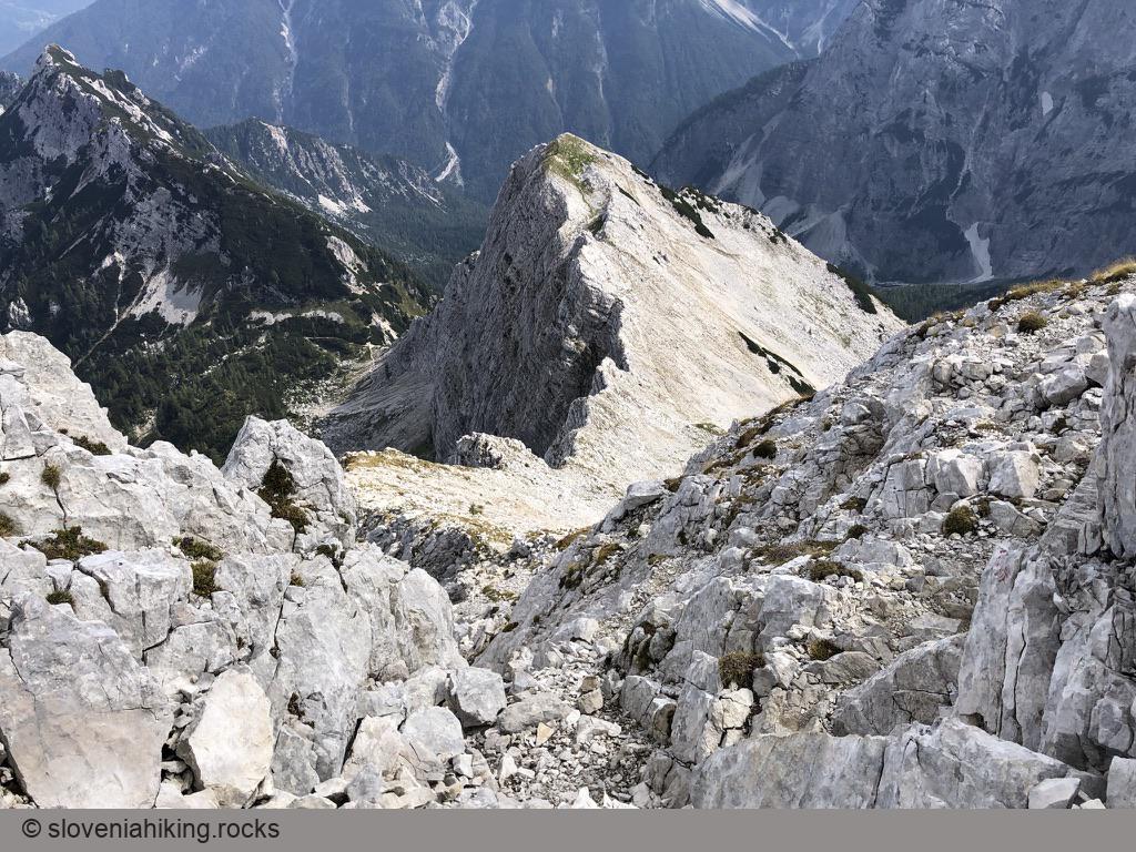
- Once you reach the footpath you’ve been observing from Nad Šitom Glava, follow it until it merges with a waymarked trail (the last part of the Via Ferrata to Mala Mojstrovka). Follow the rare faded waymarks to the top.
- Use the waymarked trail descending the southern slopes of Mala Mojstrovka to get back to Vršič pass.
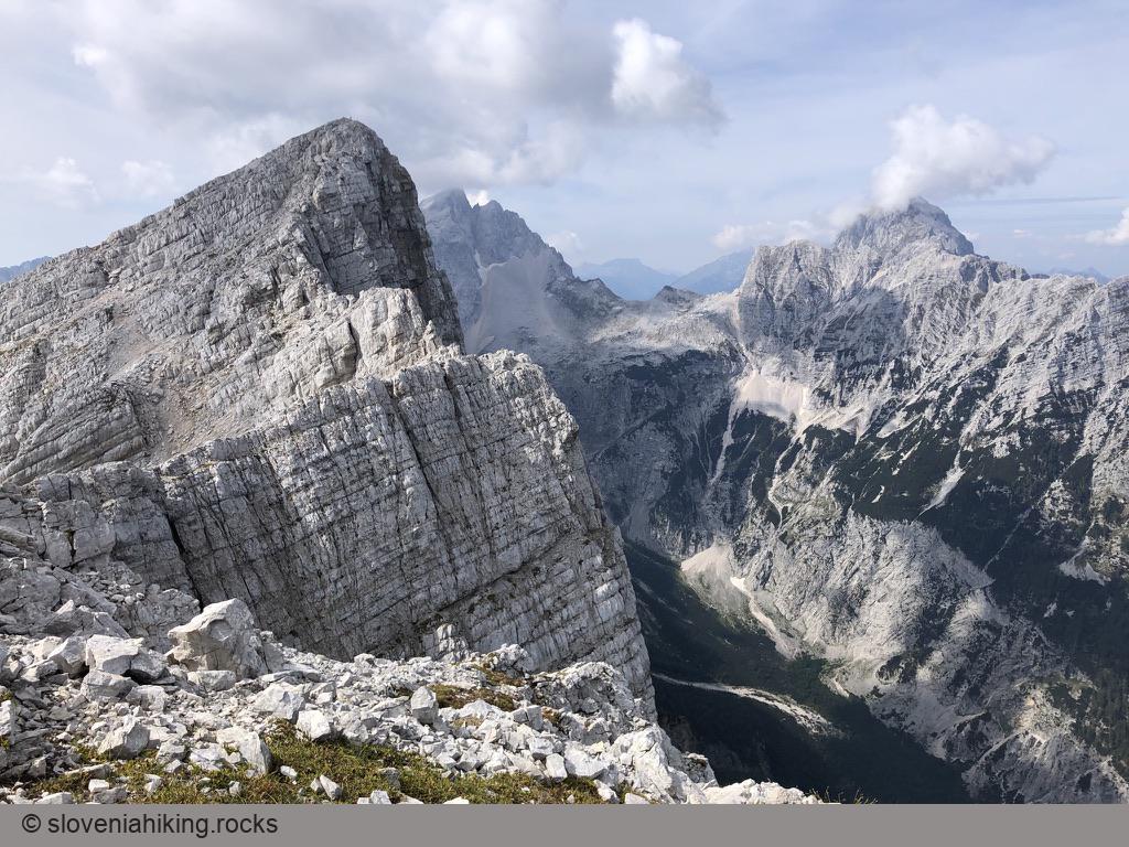
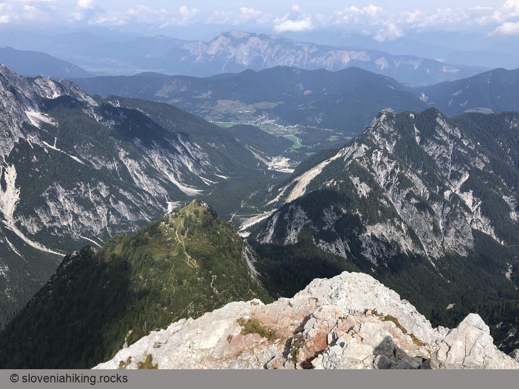
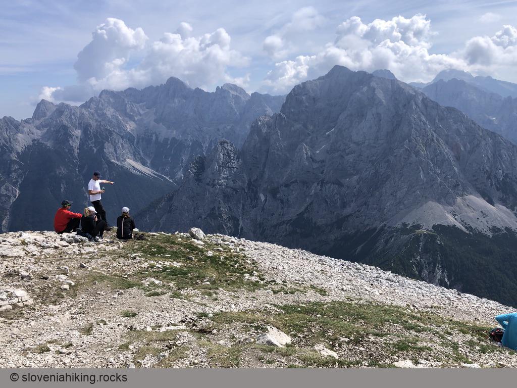
Views from the Top
Map of the Route
The map shows the path we took as recorded by the GPS receiver. Never trust a GPS track wholeheartedly; rely on your senses and maps.