Hiking in Slovenia » Julian Alps » Loška Koritnica
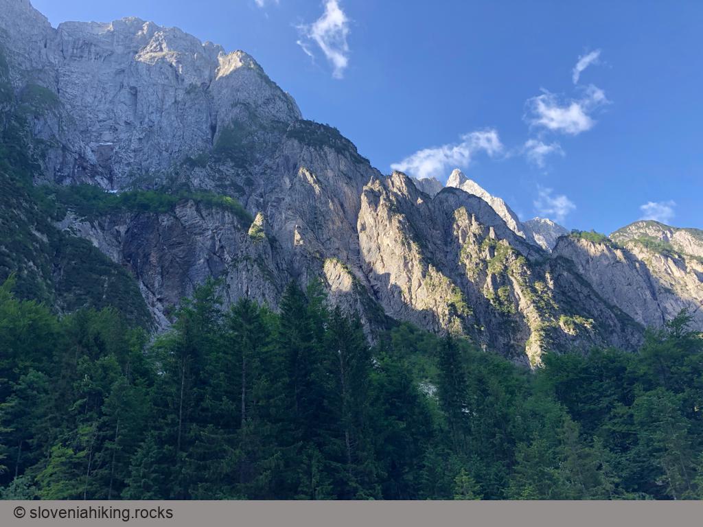
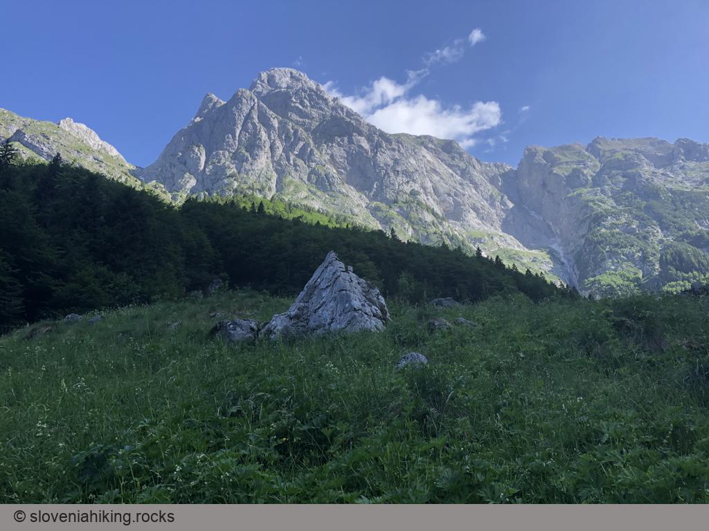
Loška Koritnica is a beautiful alpine valley surrounded by more than fifteen peaks higher than 2000 meters. We’ll explore its upper parts, from Log pod Mangartom to Koritnica’s source.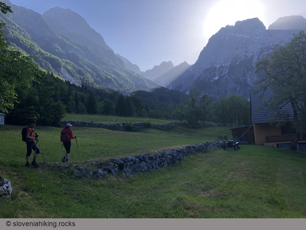
At a Glance
- Difficulty
- Easy hike on wide footpaths
- Altitude
- 1103 m
- Average time
-
Ascent: 2 hours
Descent: 1.5 hours
Total: 4 hours
- Elevation gain
- 460 m
- Coordinates
-
Start: 46.408004,13.604229
Peak: 46.423072,13.658112
Notes
- At the northern edge of Log pod Mangartom village, follow the signs for Koritnica. Park immediately after the junction.
- Follow the road for a few hundred meters. At a large crucifix, turn slightly left onto a wide footpath going into the forest (signs: Loška Koritnica - Gorenja).
- The footpath is not marked but is pretty easy to follow. You’ll find signs at all junctions. Getting across meadows around cottages might require some rudimentary pathfinding skills.
- After a few kilometers, the footpath ends at the gravel road. Turn left and start following the red hiking waymarks and signs for Mangart until you reach a hunting hut with a fantastic view of Mangart and Jalovec.
- Return on the same path, or use the gravel road to stay closer to the river.
- We got sick-and-tired of the gravel road and decided to get back to the footpath. We followed the signs for Lukež; a short ascent brought us to a house next to the trail we used earlier.
Places to Eat and Stay
- We loved staying at Holiday House Natura and Chalet GoSlo.
- Getting good food in Bovec became harder since Dobra Vila restaurant closed down. Sovdat is the best option, Letni Vrt is not bad. Stay away from Martinov Hram unless you admire haughty waiters (see Google reviews for more details)
- We stopped by Metoja (in Soča village) once and it was an excellent choice. So was Topli Val in Kobarid.
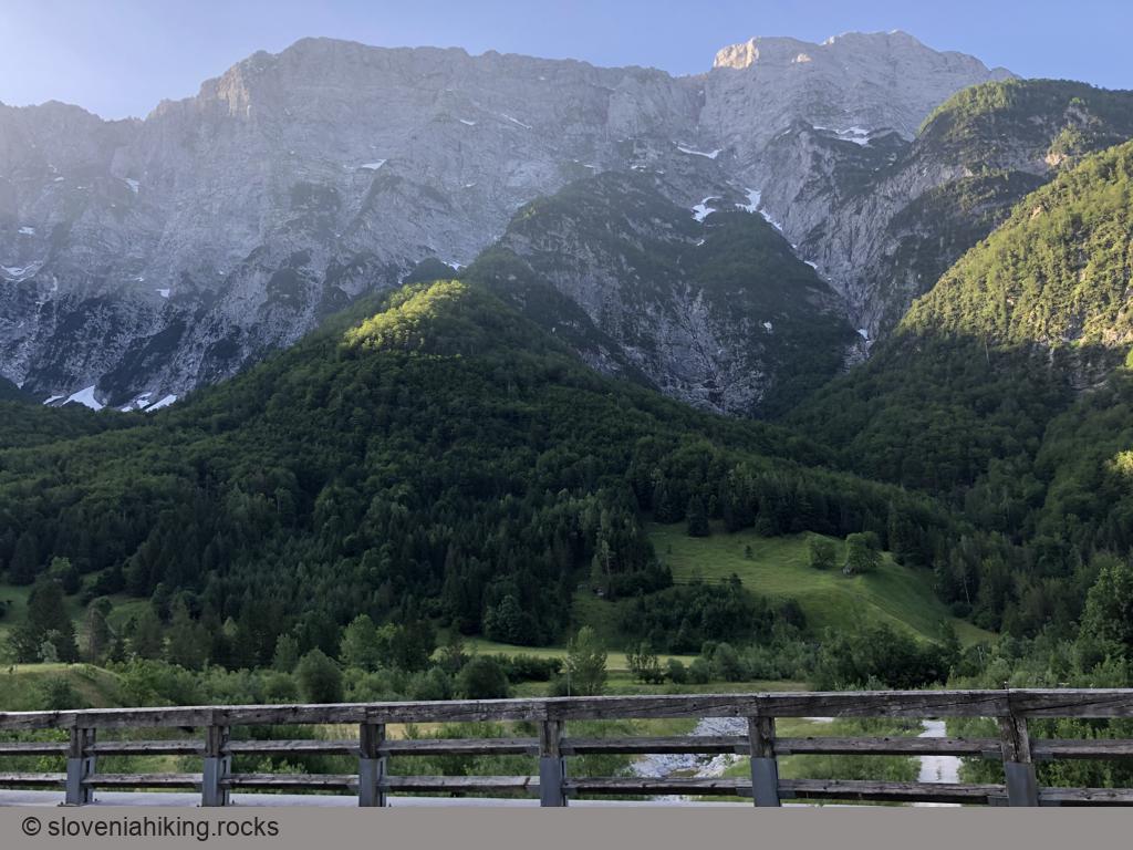
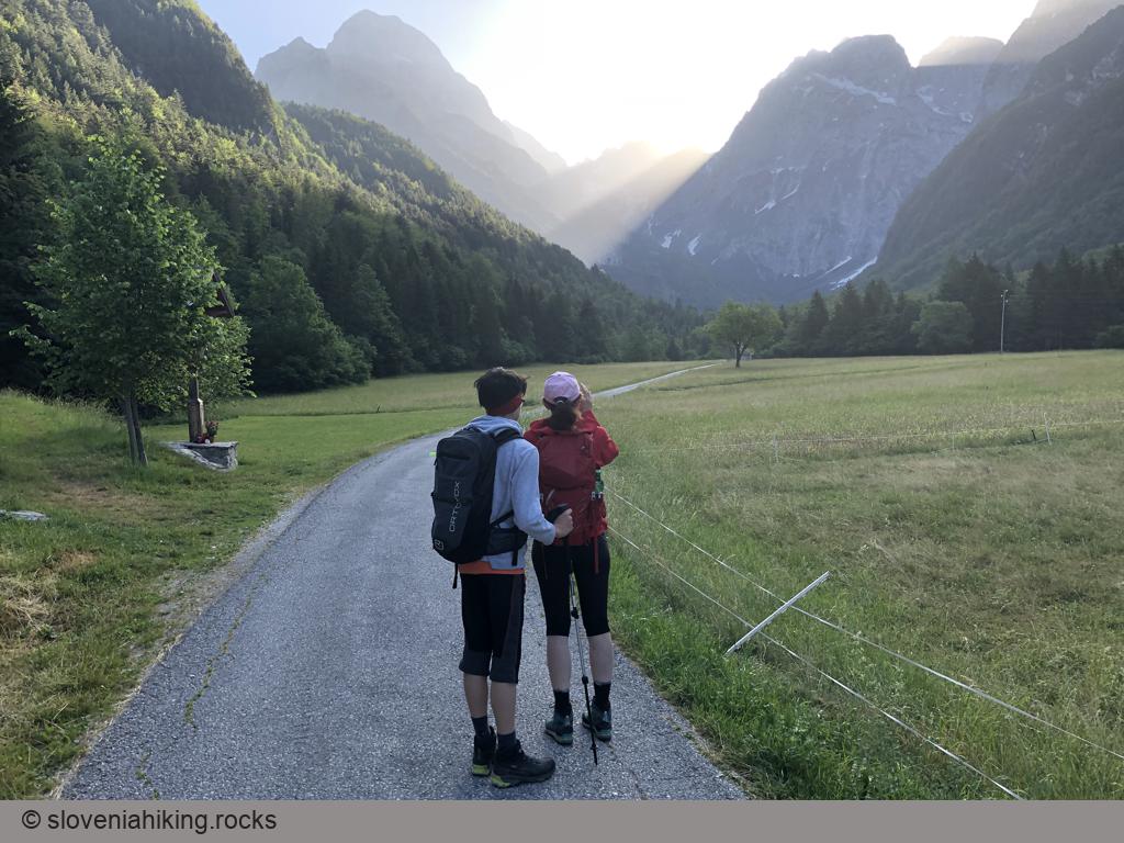
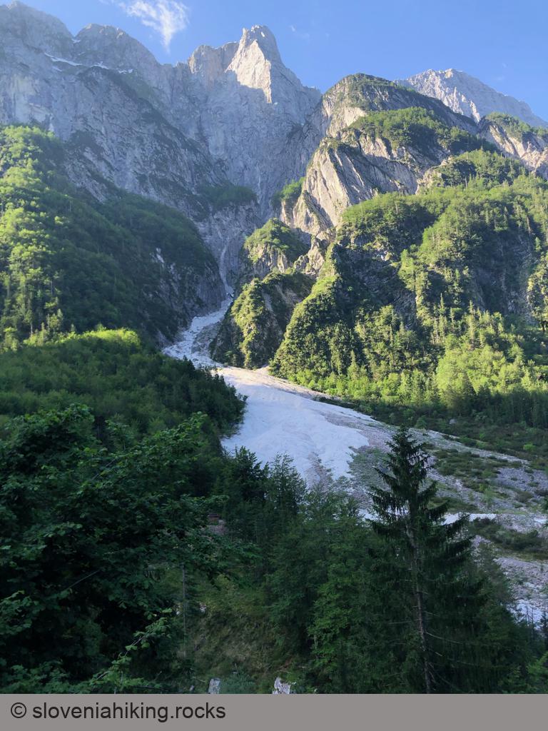
Photo Gallery

Map of the Route
The map shows the path we took as recorded by the GPS receiver. Never trust a GPS track wholeheartedly; rely on your senses and maps.