Hiking in Slovenia » Notranjska » Snežnik from Sviščaki
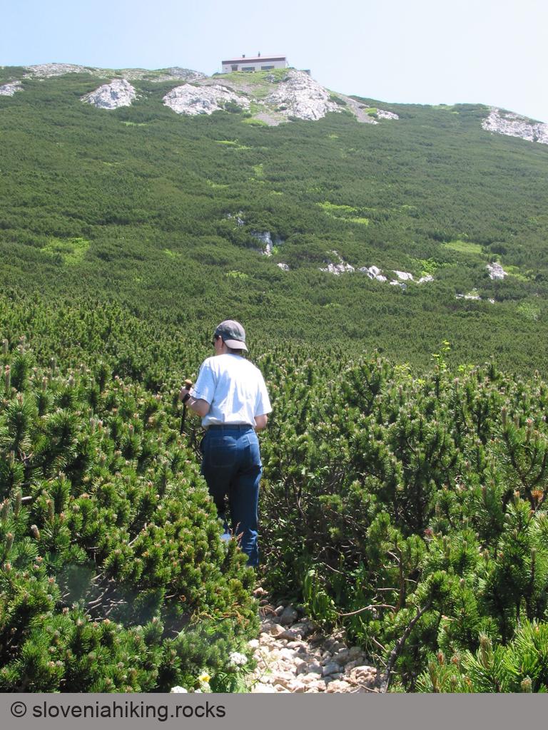
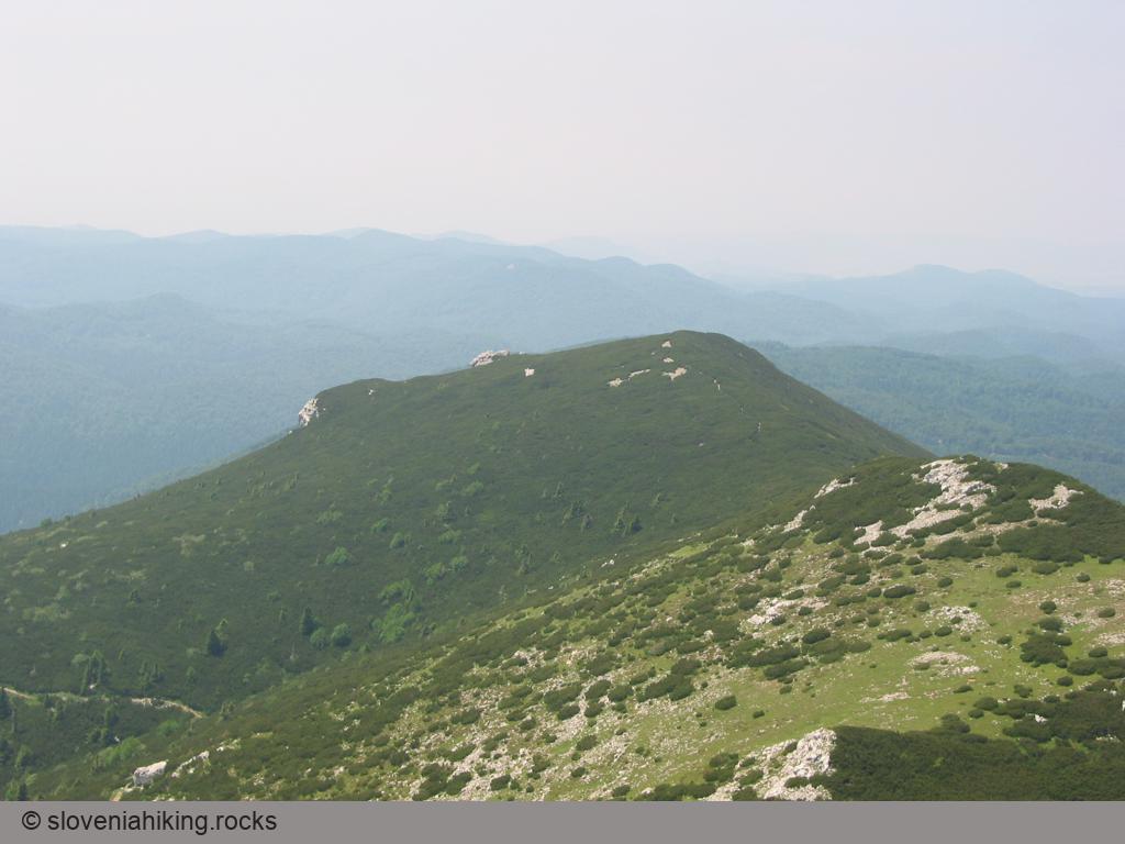
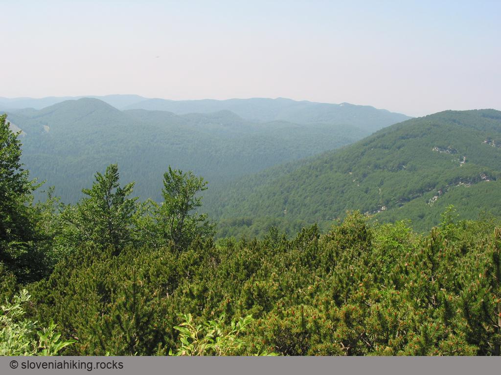
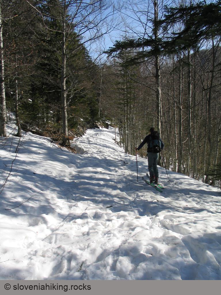
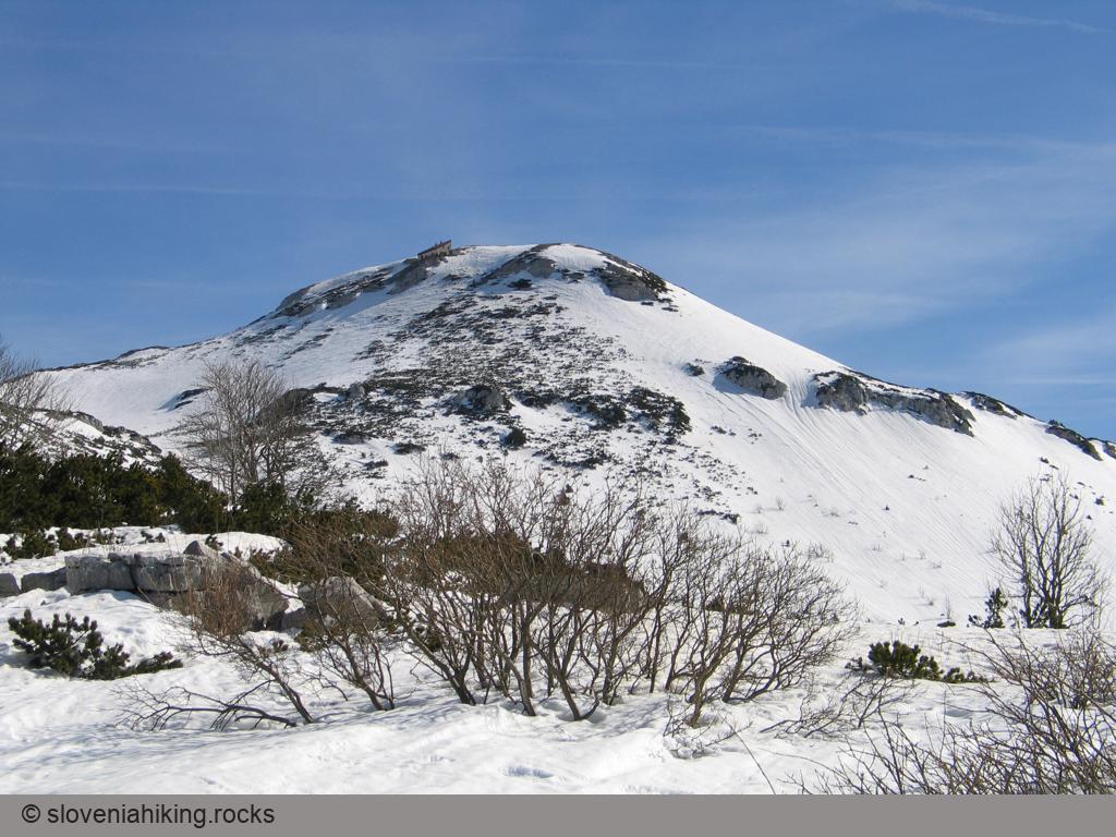
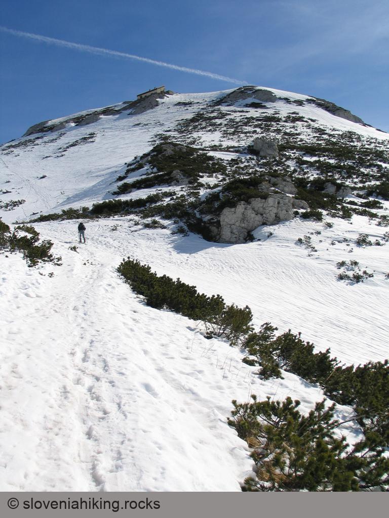
Snežnik is the highest peak in south-western Slovenia. You could spend days wandering around huge forests surrounding it; the quickest hike to the peak starts in Sviščaki, a hamlet high above Ilirska Bistrica.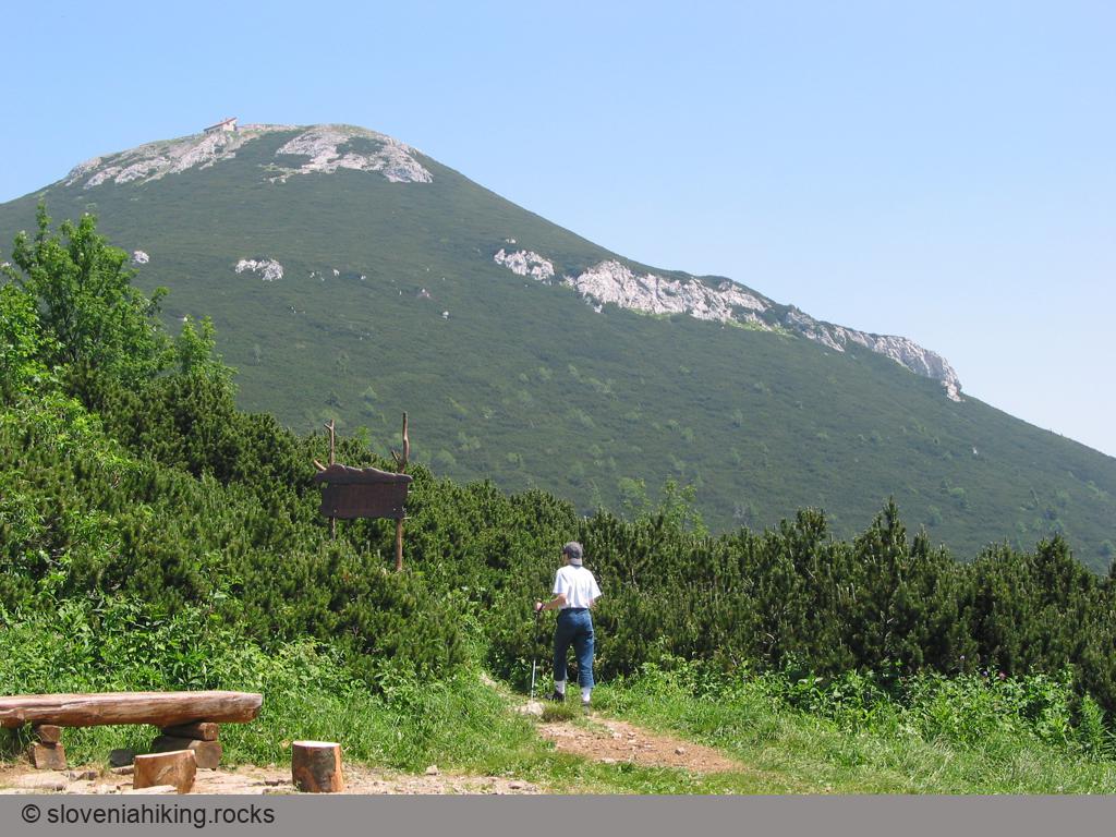
At a Glance
- Difficulty
- Easy hike on gravel roads and wide footpaths with a somewhat steeper last section.
- Altitude
- 1796 m
- Average time
- 4 h
- Elevation gain
- 590 m
- Coordinates
-
Start: 45.574142,14.401174
Peak: 45.588478,14.447613
In a Nutshell
- Take the asphalt road from Ilirska Bistrica to reach Sviščaki. Alternatives proposed by Google Maps are “interesting.”
- Park near the Sviščaki mountain hut (where the waymarks start) or at a large parking lot close to the first cottages in Sviščaki.
- If you parked at the mountain hut, follow the waymarks. If you decided to take the earlier parking lot, follow the gravel road until you hit the waymarks, and turn right.
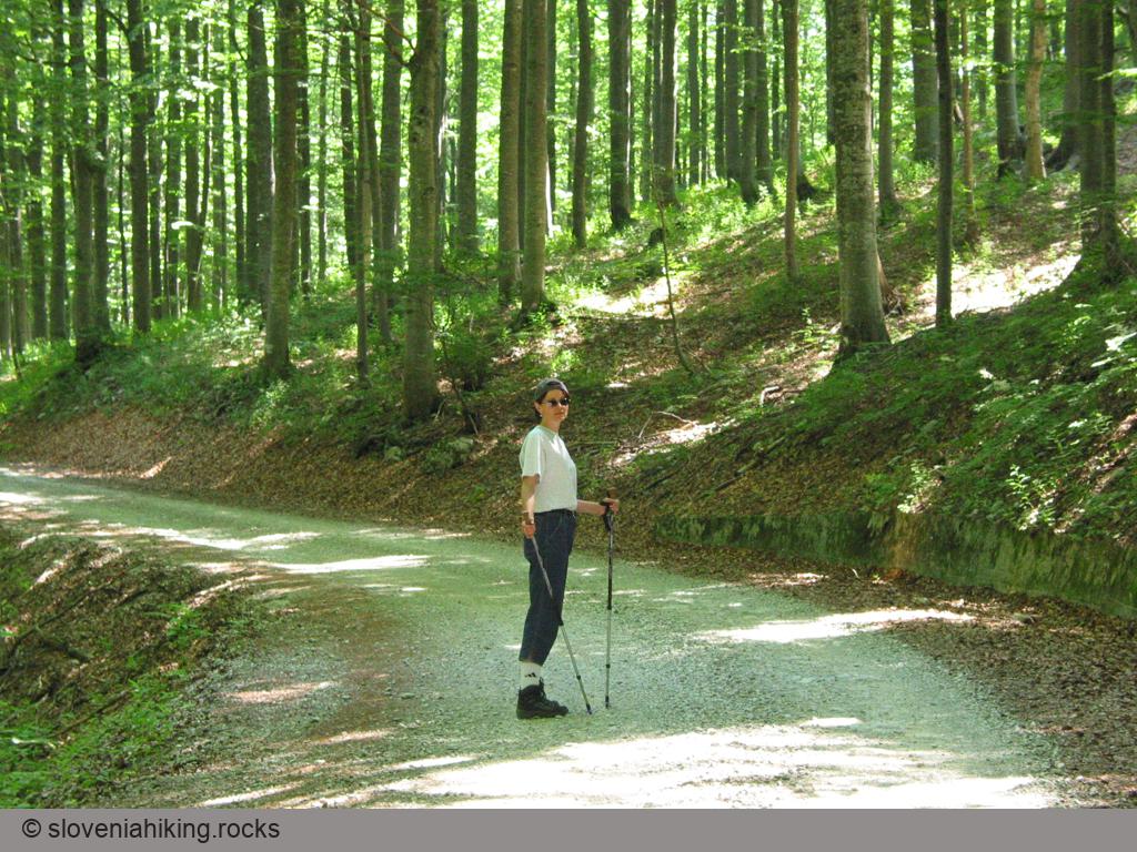
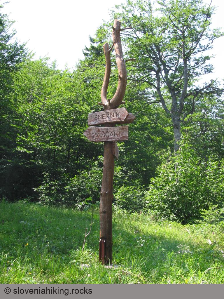
- A wide footpath will lead you to another gravel road. Turn left, and follow the road until you get to a large table advertising the Snežnik mountain hut. Follow barely-visible waymarks onto an ascending dirt trail (you could keep walking on the gravel road; they merge in ~30 minutes).
- After almost an hour, the well-marked dirt trails lead you to the last gravel road you’ll encounter. Take a shortcut through the forest and then follow the road till its end (where the Snežnik Botanical Reserve starts).
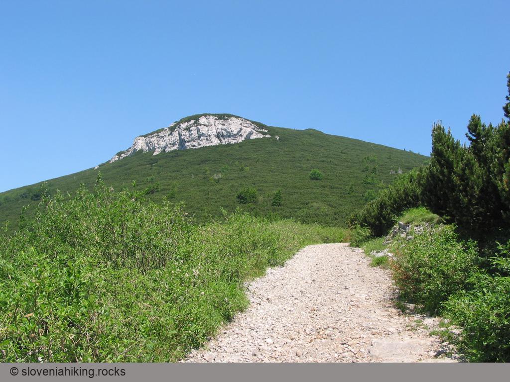
- Follow an ever-steeper footpath toward the already-visible mountain hut and the mountaintop.
Snežnik in Summer


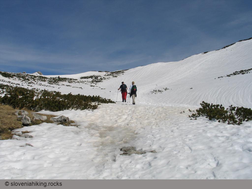
Snežnik in Winter

Map of the Route
The map shows the path we took as recorded by the GPS receiver. Never trust a GPS track wholeheartedly; rely on your senses and maps.