Hiking in Slovenia » Julian Alps » Debeli Vrh (Fat Peak)
Debeli Vrh (Fat Peak) is one of the many minor peaks in the long ridge between Pokljuka plateau and Krma valley. Most hikers rush to nearby Viševnik or Lipanca, so you’re almost guaranteed to be on your own enjoying the views and solitude.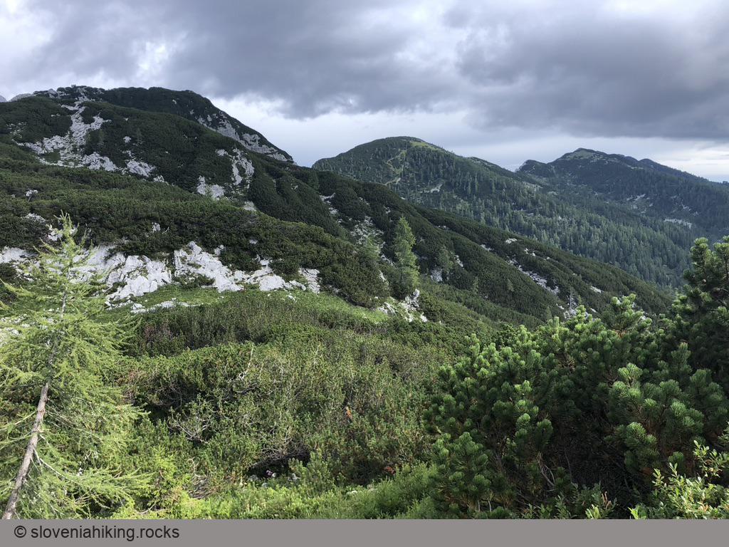
At a Glance
- Difficulty
- Somewhat steep hike on a well-marked footpath. The ascent to Debeli Vrh is a bit more interesting.
- Altitude
- 1959 m
- Average time
-
Ascent: 2.5 hours
Descent via Lipanca: 2 hours
Total: 4.5 – 5 hours
- Elevation gain
- 760 m
- Coordinates
-
Start: 46.345616,13.923256
Peak: 46.372407,13.909051
In a Nutshell
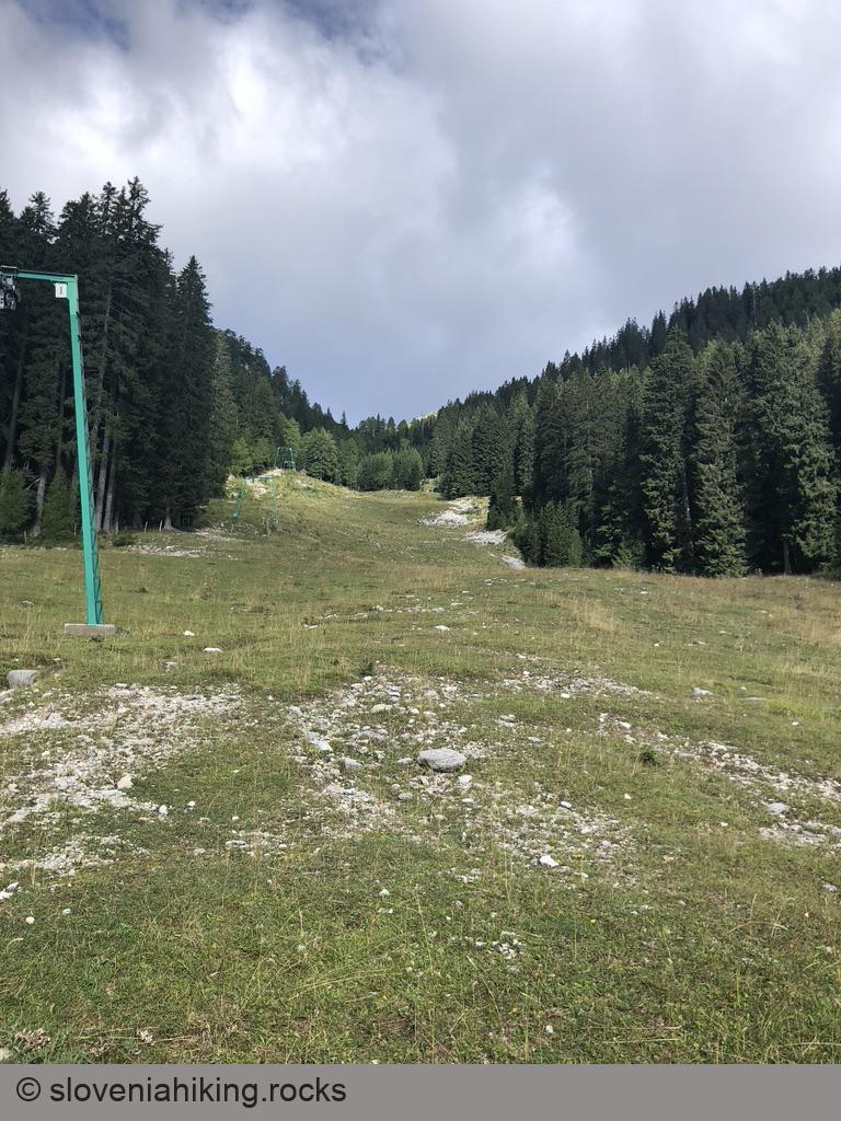
- Start at Rudno Polje. You could park in the large parking lot next to the barracks (starting coordinates); I usually try to find a convenient spot next to a gravel road a bit higher up.
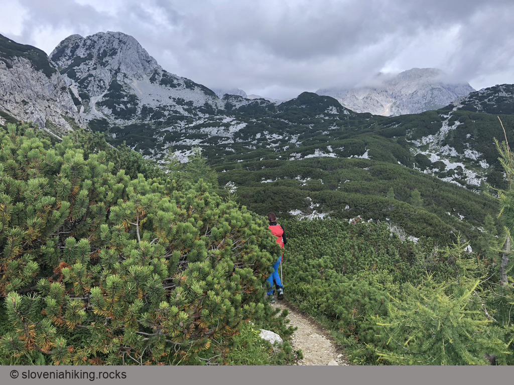
- Follow signs for Viševnik.
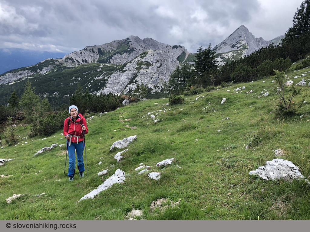
- Above the ski slope, follow signs for Blejska koča – Lipanca onto a narrow footpath that will bring you to Kačji rob (Snake edge) and a large hollow north of Viševnik.
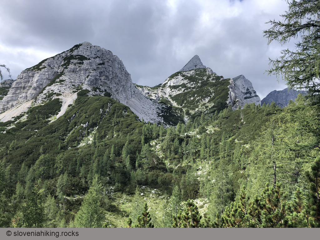
- When reaching the slopes of Mali Draški Vrh (the pyramid in front of you), turn right, yet again following the signs for Blejska koča.
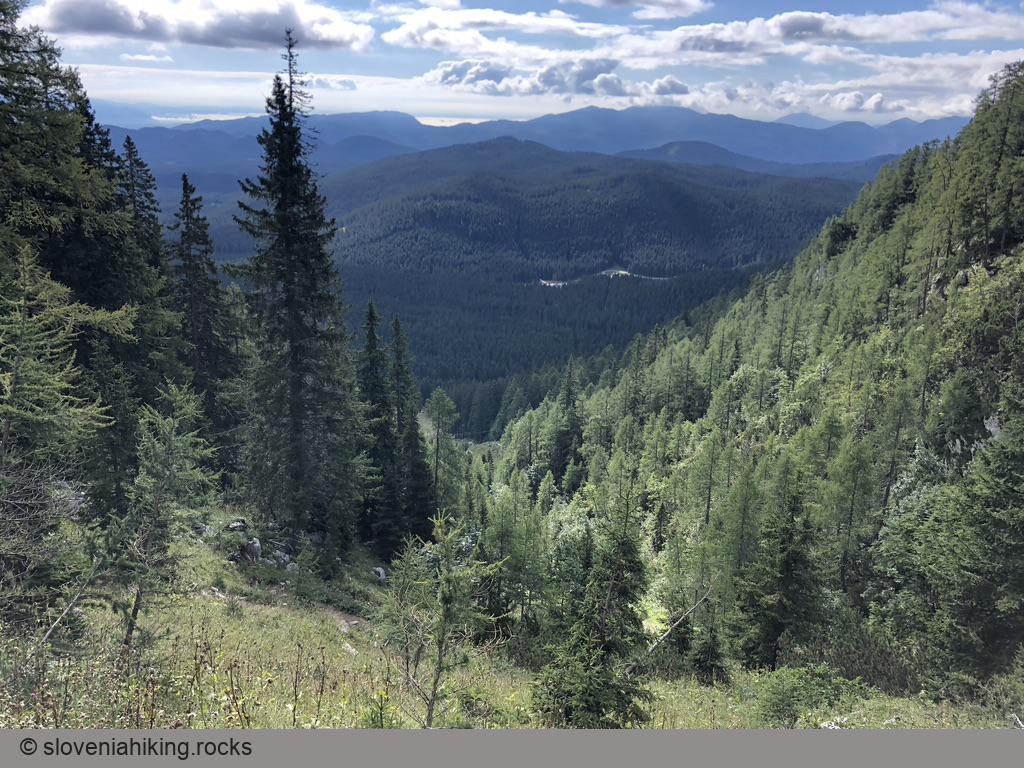
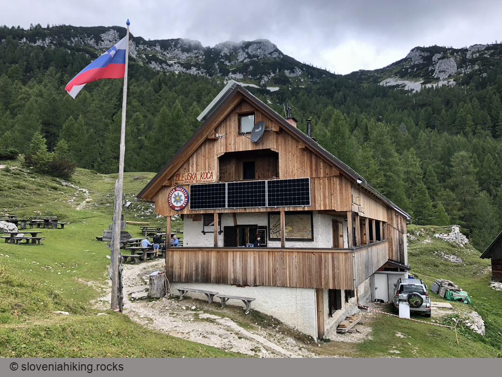
- You might want to skip the barely marked ascent to Debeli Vrh. In that case, follow the waymarks, and the pleasant footpath will lead you up and down the ridge and safely bring you to Lipanca mountain hut.
- From Lipanca mountain hut ascent back the way you came until the first junction. Follow the signs for Rudno Polje, and you’ll come back to where you left the car.
Ascending Debeli Vrh
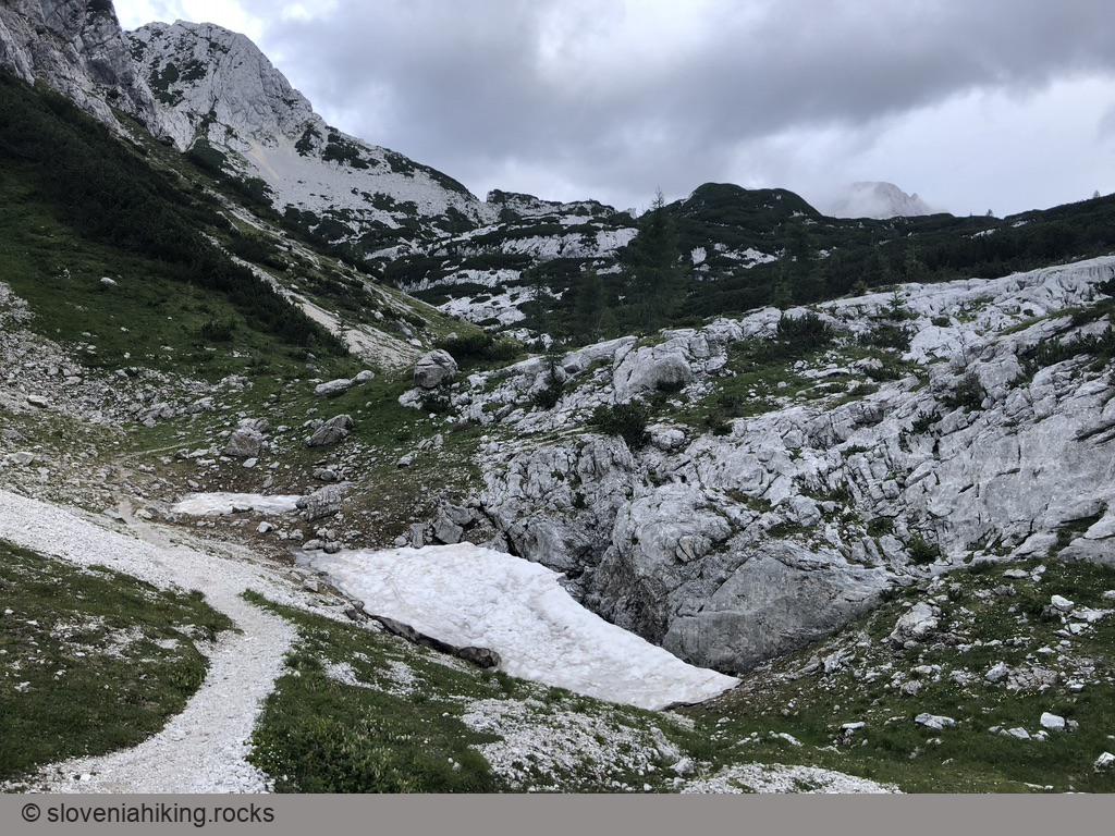
Warning: the footpath to Debeli Vrh is rarely used and tends to disappear once you reach the meadows near the peak. It was waymarked decades ago, but that’s left are ancient, barely visible marks. To make the hike even more interesting, you’ll have to find tiny passages through large swaths of mountain pine. You can use OpenCycleMap to find your way, but please don’t even think about taking this part of the hike in foggy or rainy weather.
Ready to go? Here are a few tips:
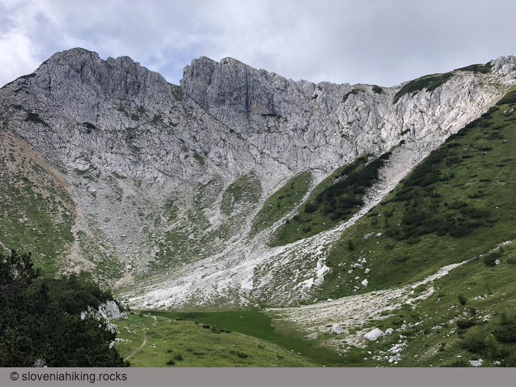
- While hiking around Veliki Selišnik, you’ll notice a large clearing going up Debeli Vrh. You could use it (and it would lead you to the top); we decided to use an old footpath.
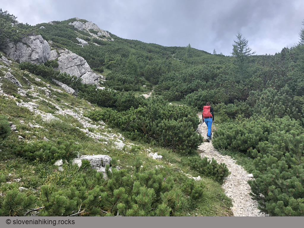
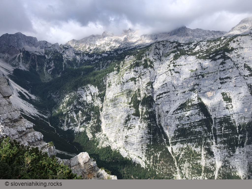
- The trail to Debeli Vrh starts approximately a hundred meters after the saddle between Draški Rob and Debeli Vrh (don’t forget to visit the vista point just a bit to the left). There’s even an old sign pointing left.
- A narrow overgrown footpath quickly climbs up the slopes and turns right into a long traverse, followed by another left turn onto a steep climb. The old waymarks were good enough to guide us.
- The hike got interesting once we reached the meadows. Keep a bit to the right, searching for old waymarks and passages through the pines until you reach the top.
- On the way back, keep to the left until you reach a large meadow. Once you hit the impenetrable wall of pine, start descending toward the right until you’ll find a wide passage that will lead you to a lower-lying meadow with a small pond. Turn right, and you’ll reach the path toward Lipanca.
Photo Gallery


Map of the Route
The map shows the path we took as recorded by the GPS receiver. Never trust a GPS track wholeheartedly; rely on your senses and maps.