Hiking in Slovenia » Slovene Istria » Lačna, Kuk and Kvirik
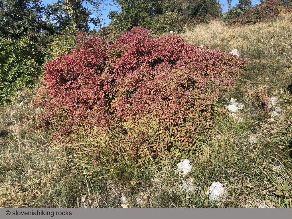
We love visiting Lačna in autumn to enjoy the fiery fall colors of the European smoke bush, and we try to do a slightly different hike every year. This time, we went for a long roundtrip visiting Lačna, Kuk, Movraž, and Kvirik.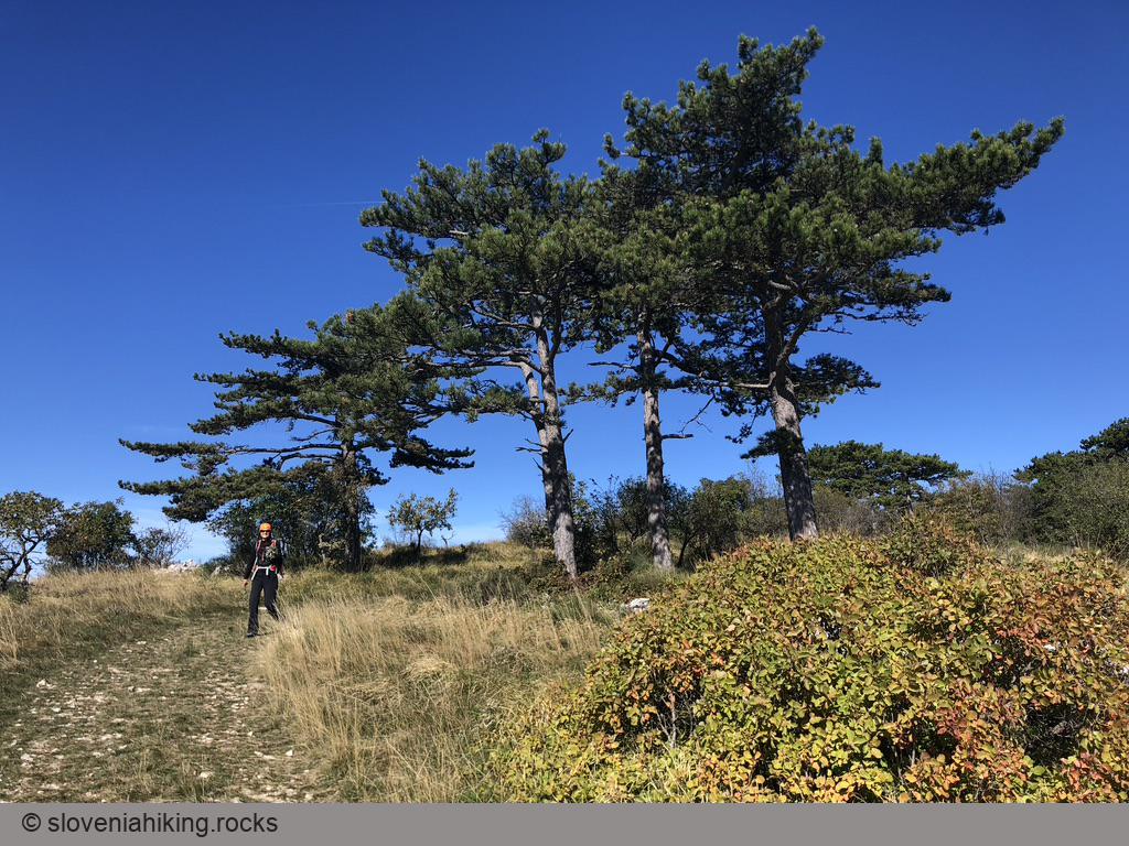
At a Glance
- Difficulty
- Long easy hike with an adventurous twist
- Altitude
- 497 m
- Average time
- 4 h
- Elevation gain
- 500 m
- Distance
- 14.6 km
- Coordinates
-
Start: 45.495196,13.887565
Peak: 45.463809,13.904364
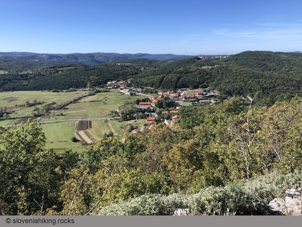
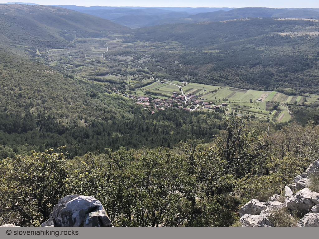
Lačna
- We love to start our trips in this part of Slovenia at a tiny parking lot in the middle of nowhere. You might decide to set off from Gračišče.
- From the parking lot, follow the red signs (Gračišče/Lačna) onto a narrow footpath descending into the forest.
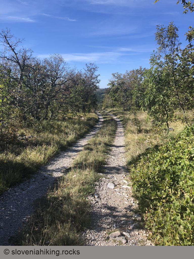
- The footpath quickly reaches the road toward Movraž. Turn left, and after a short while, cross the road and take a gravel road toward Gračišče.
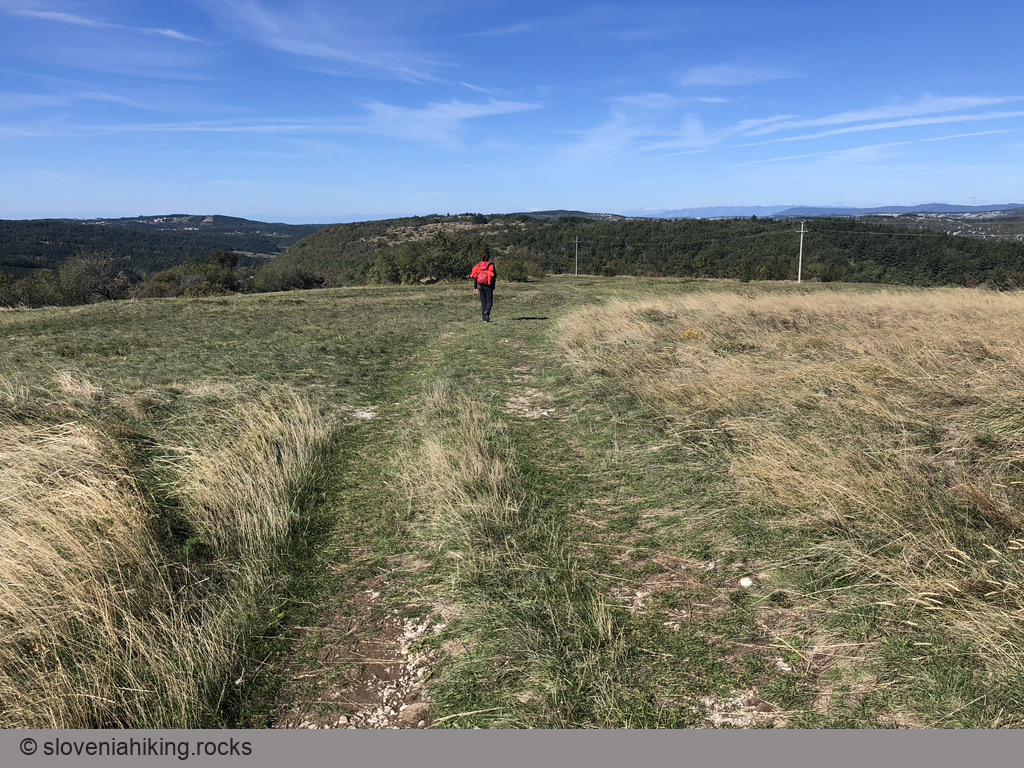
- Hike to Lačna.
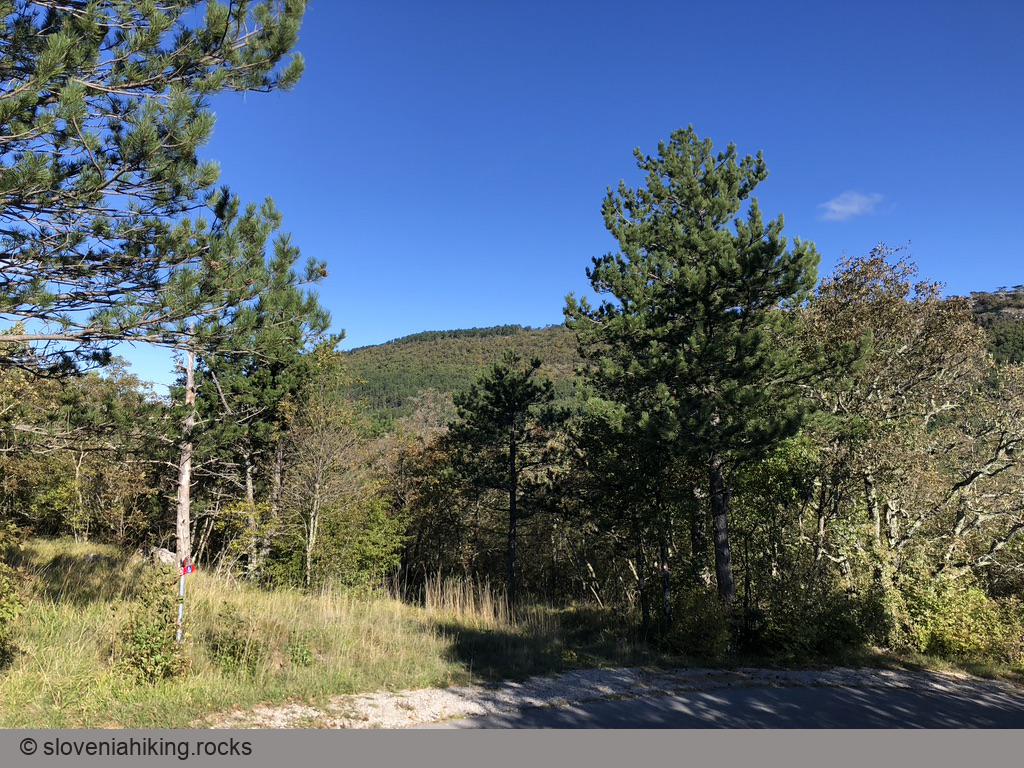
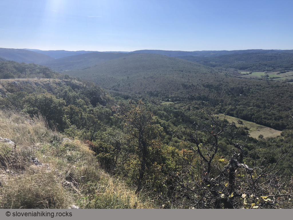
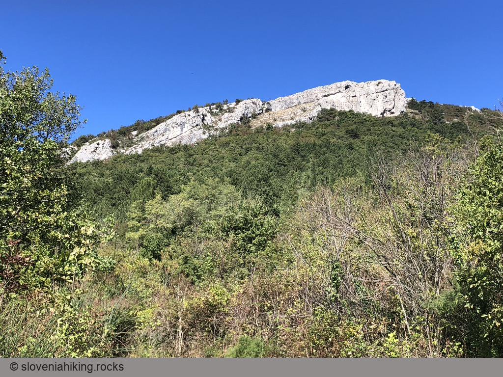
Kuk
- From the tower on Lačna, take a footpath going east (direction Kuk).
- The footpath merges with the dirt trail you used to get to Lačna. Keep going east.
- When you reach a barely noticeable saddle, you’ll notice a dirt trail going right (descending into the valley). You can use that trail to get back to the car (see OpenCycleMap for details).
- Follow the waymarks until you reach the signpost on the grassy plateau around Kuk. The peak is on the left; the trail you could use to get to Movraž is going right.
- If you had enough, return toward Lačna and take the dirt trail descending into the valley (see above).

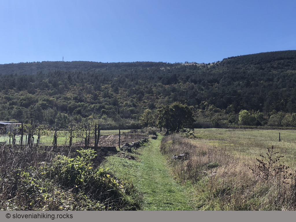
Movraž
There are at least three ways to get to Movraž:
- Stay on the marked path (direction Mlini/Tri lučke) – that will extend your hike for approximately two hours.
- Follow the waymarks toward Mlini, but turn right onto the first dirt trail. Keep to the right until you reach the old dirt road from Movraž to Smokvica, where you have to turn left (yet again: OpenCycleMap is your friend).
- Try to find an old footpath that used to be waymarked but is now gone from all maps.
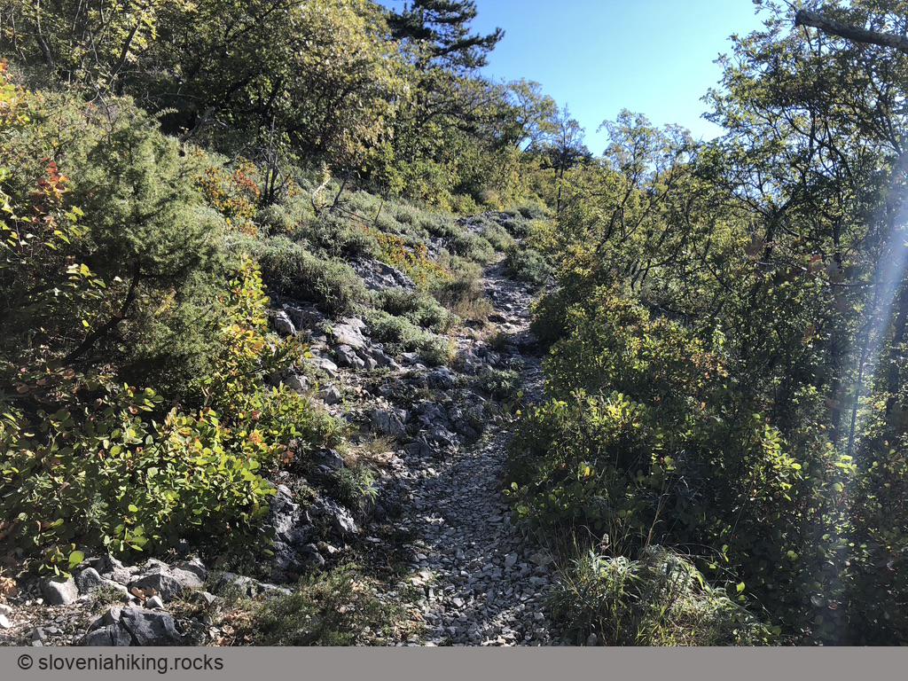
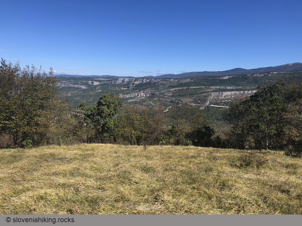
For the Adventurous
Ah, so you decided to go exploring. Beware: occasional faded waymarks will help you find the right way, but the task is not trivial. Here are a few hints to get you started:
- From the signpost you reached when ascending Kuk, go south (toward the edge of the plateau) to find remains of an old footpath.
- The footpath stays close to the edge, slowly turning toward the right.
- After descending below the cliffs, the path turns sharp left and descends toward the old dirt road between Movraž and Smokvica.
- Turn left to reach Movraž. You could also walk toward Smokvica and then trudge along the asphalt road to get back to your car.
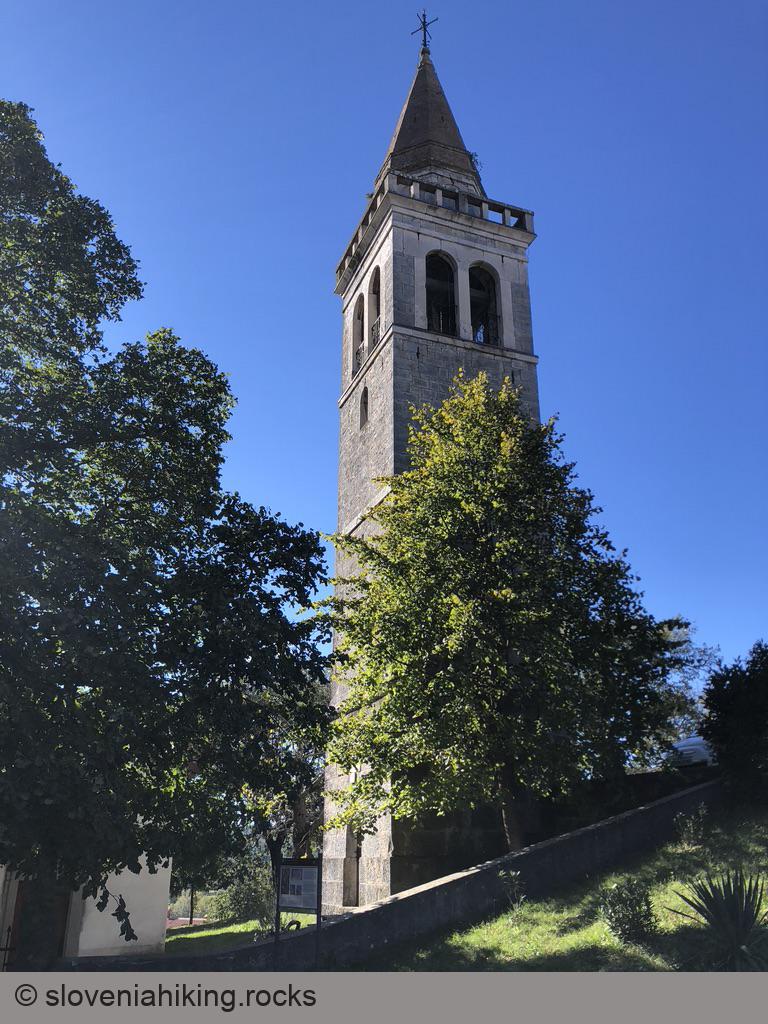
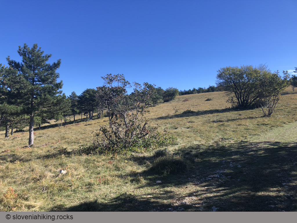
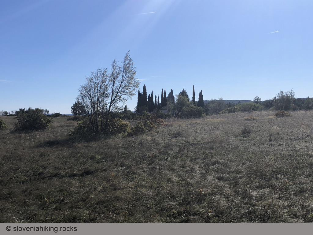
Kvirik
- In Movraž, follow the signs for Sv. Kvirik (Saint Quiricus) onto a footpath that traverses the grassy valley and ascends through a sparse forest.
- You’ll notice Stations of the Cross along the way. They are also a nice confirmation that you’re still following the correct footpath.
- The footpath eventually reaches a valley where it turns left (at Station X), traverses grassy slopes, and ends at the church of Saint Quiricus.

Back to the Car
- Just before reaching the church, turn right onto a gravel road going west.
- Follow the gravel road (and waymarks) for ~45 minutes to get back to your car.
Map of the Route
The map shows the path we took as recorded by the GPS receiver. Never trust a GPS track wholeheartedly; rely on your senses and maps.