Hiking in Slovenia » Slovene Istria » Rock Shelters in Veli Badin
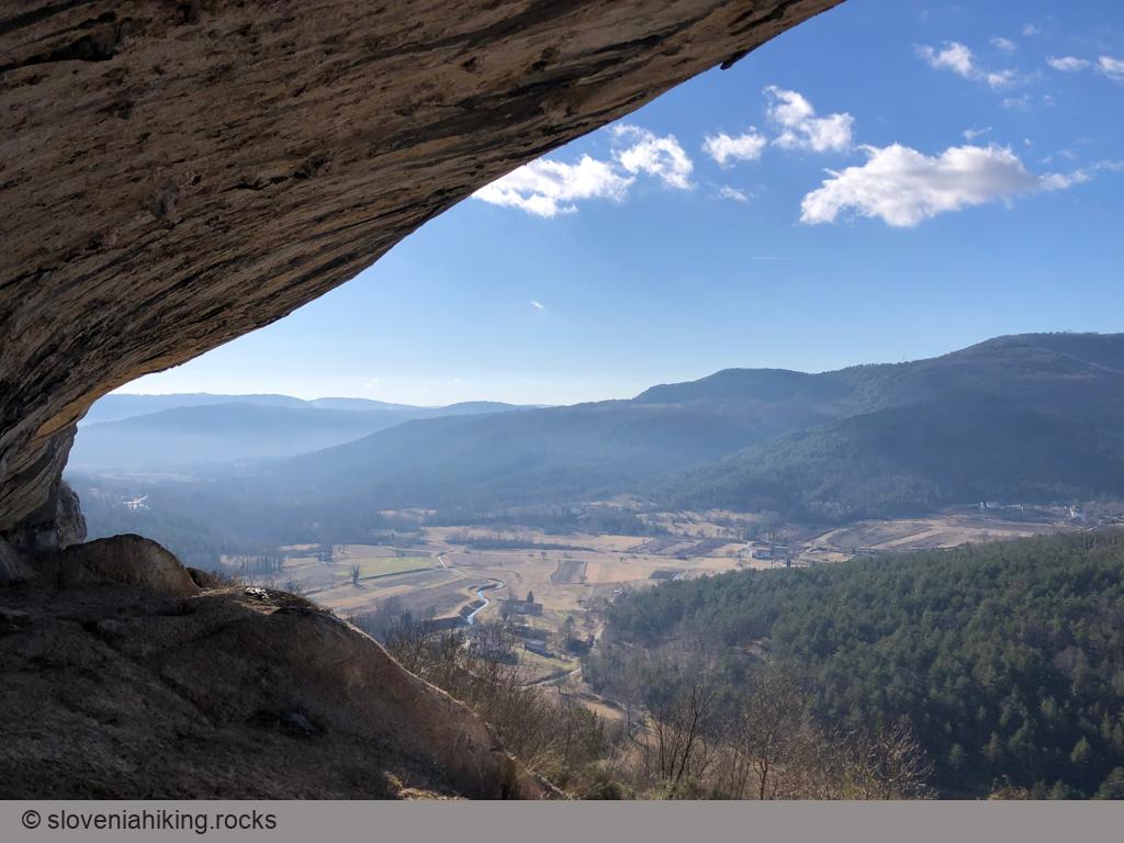
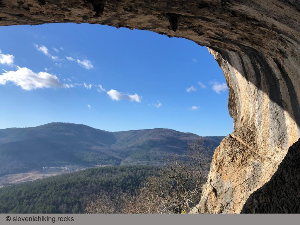
The cliffs at the boundary between limestone and clay parts of Slovenian Istria end with enormous rock shelters – a must-see for every hiker visiting these parts of Slovenia.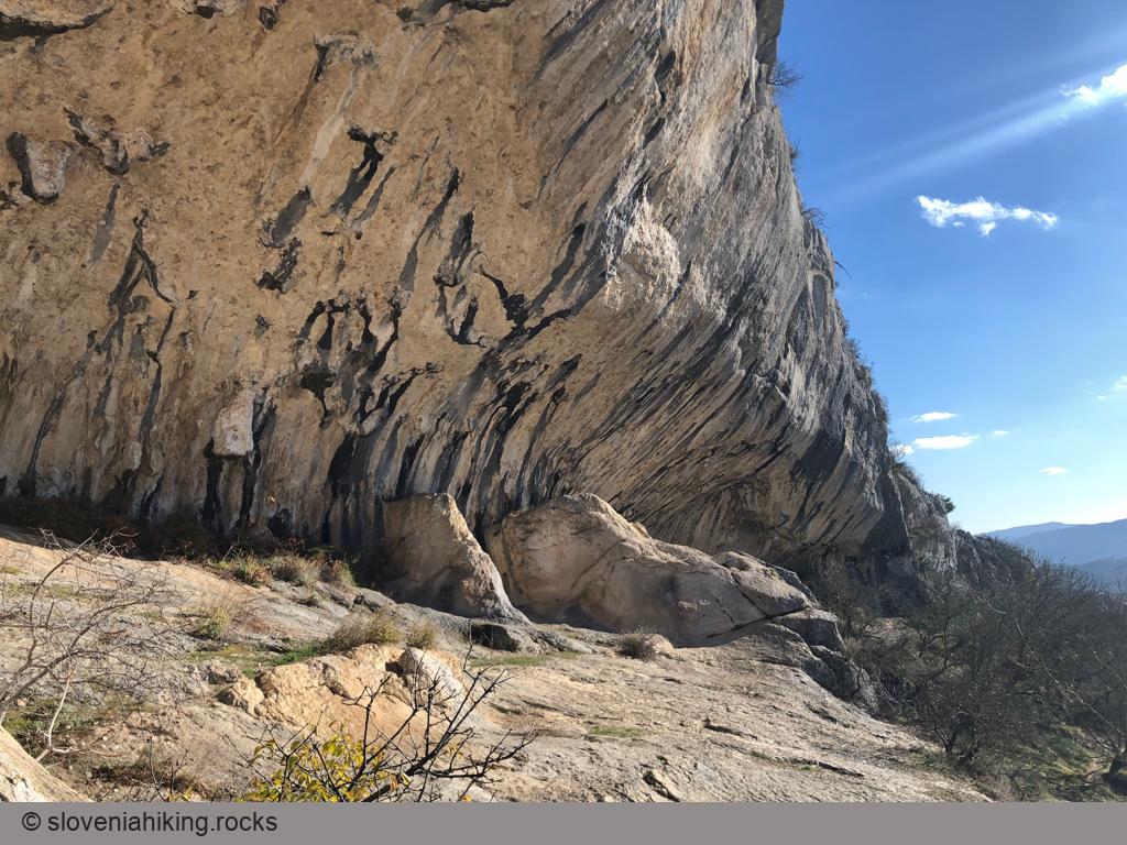
At a Glance
- Difficulty
- Easy hike
- Altitude
- 410 m
- Average time
- 2 h
- Elevation gain
- 300 m
- Coordinates
-
Start: 45.463854,13.896891
Peak: 45.454250,13.924210
Notes
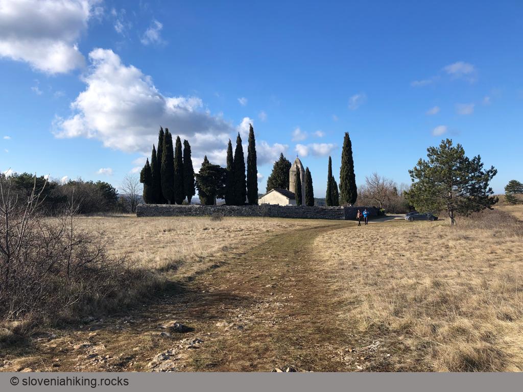
- Most visitors park near the church of Sveti Kvirik (Saint Quiricus). That was discouraged in Ye Olde Days, so I always try to park near Gostilna Sočerga (starting coordinates).
- If you decide to park at the church, follow the signs for Krog onto a well-marked wide footpath, we’ll be with you in a minute. Alternatively, you could walk back to the main road and be with us the whole way.
- Still here? Cross the road and follow the signs for Olika onto a descending dirt trail.
- At the next junction, take the left trail.
- Just before getting back to the asphalt road, take another left trail ascending toward the ridge of Veli Badin (follow a yellow arrow).
- When you reach the marked footpath, turn right (if you parked at the church, now’s a good time to continue reading).
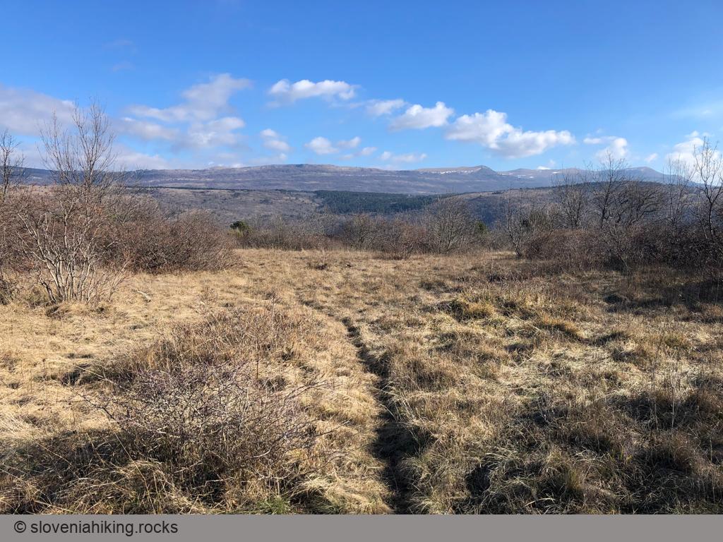
- You’ll be able to enjoy the fantastic views until you enter a sparse forest. Take a left turn and follow the waymarks onto a descending footpath that eventually brings you to an old abandoned gravel road.
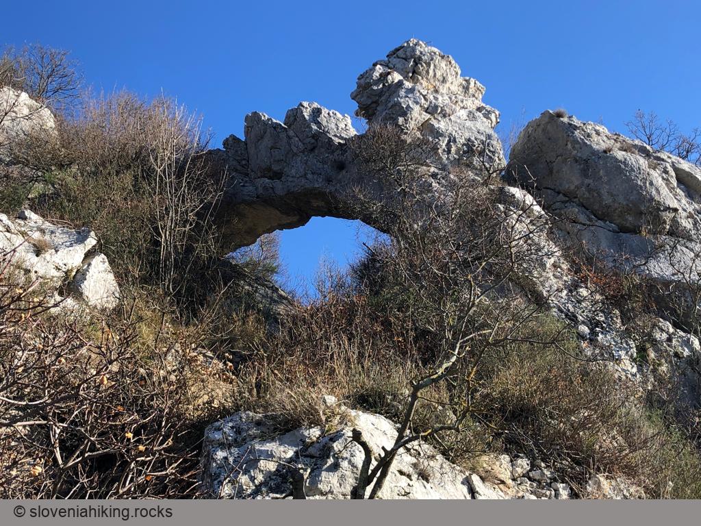
- Turn right onto a footpath just before the trail hits the road, and you’ll get to the natural bridge and the rock shelters. Enjoy!
- Want to take a on the way back shortcut? After leaving the rock shelters, follow a yellow arrow onto a narrow ascending rocky footpath that runs along the ridge and eventually merges with the waymarked trail.
- In any case, follow the waymarks all the way to the church of Sveti Kvirik. If you haven’t parked there, descend along the asphalt road to get back to your car.
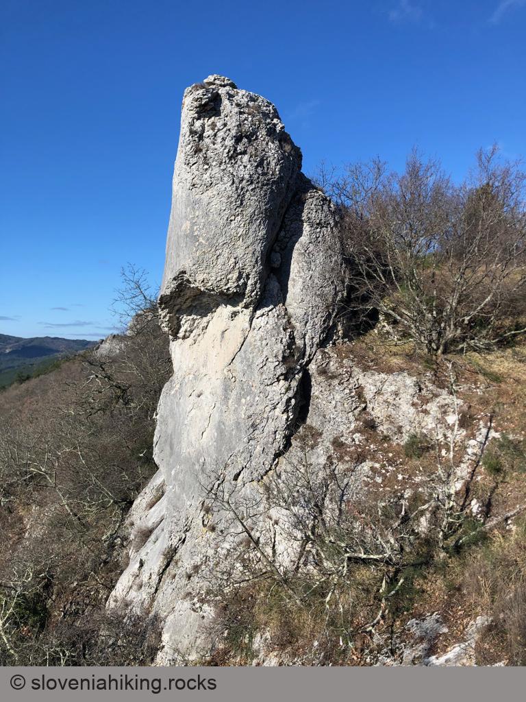
Photo Gallery
Map of the Route
The map shows the path we took as recorded by the GPS receiver. Never trust a GPS track wholeheartedly; rely on your senses and maps.