Biking in Slovenia » Slovene Istria » Biking to Kuk and Lačna
I love hiking across the hills on the limestone edge of Slovenian Istria, but whenever I’m schlepping myself along the long dirt trails, I dream of doing them with a mountain bike. As it turns out, what looks like a wide and easy dirt road when you’re hiking could turn into a mischievous beast when you are on a bike, including the trails between Kuk and Lačna.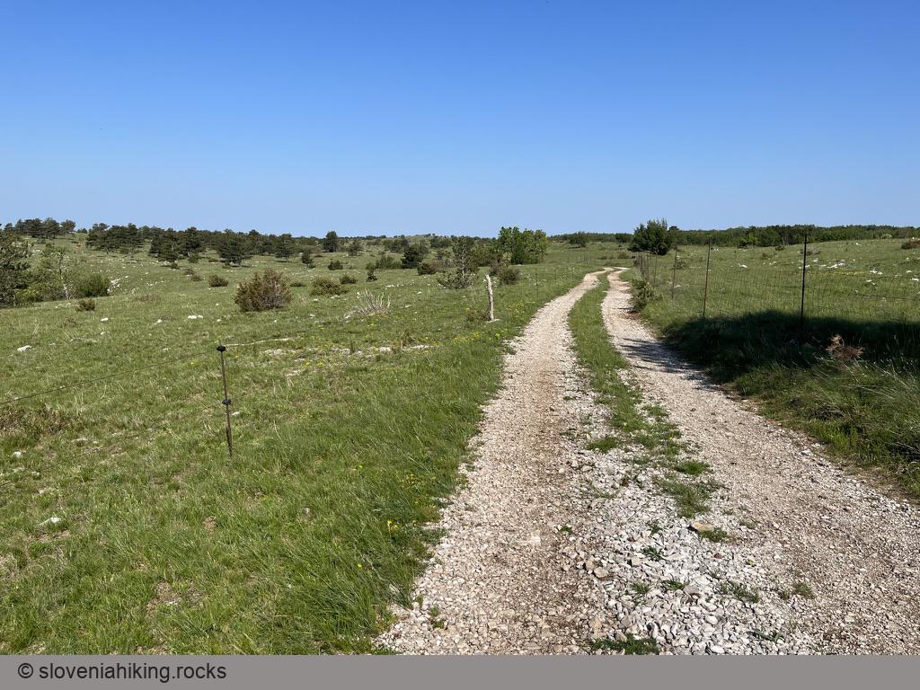
At a Glance
- Difficulty
- Steep ascent on asphalt followed by gravel roads and dirt trails
- Altitude
- 500 m
- Average time
- 2.5 h
- Elevation gain
- 430 m
- Distance
- 18.7 km
- Coordinates
-
Start: 45.502597,13.876419
Notes
- From the road toward Buzet, follow signs for Movraž and park at the edge of Gračišče.
- Follow the road toward Movraž (I took a detour through Smokvica because why not)
- In Movraž, follow signs for Rakitovec, or try to find your way through a maze of tiny streets.
- A steep (16%) ascent starts just after Movraž. Don’t worry if you find it hard – it consistently devastated me.
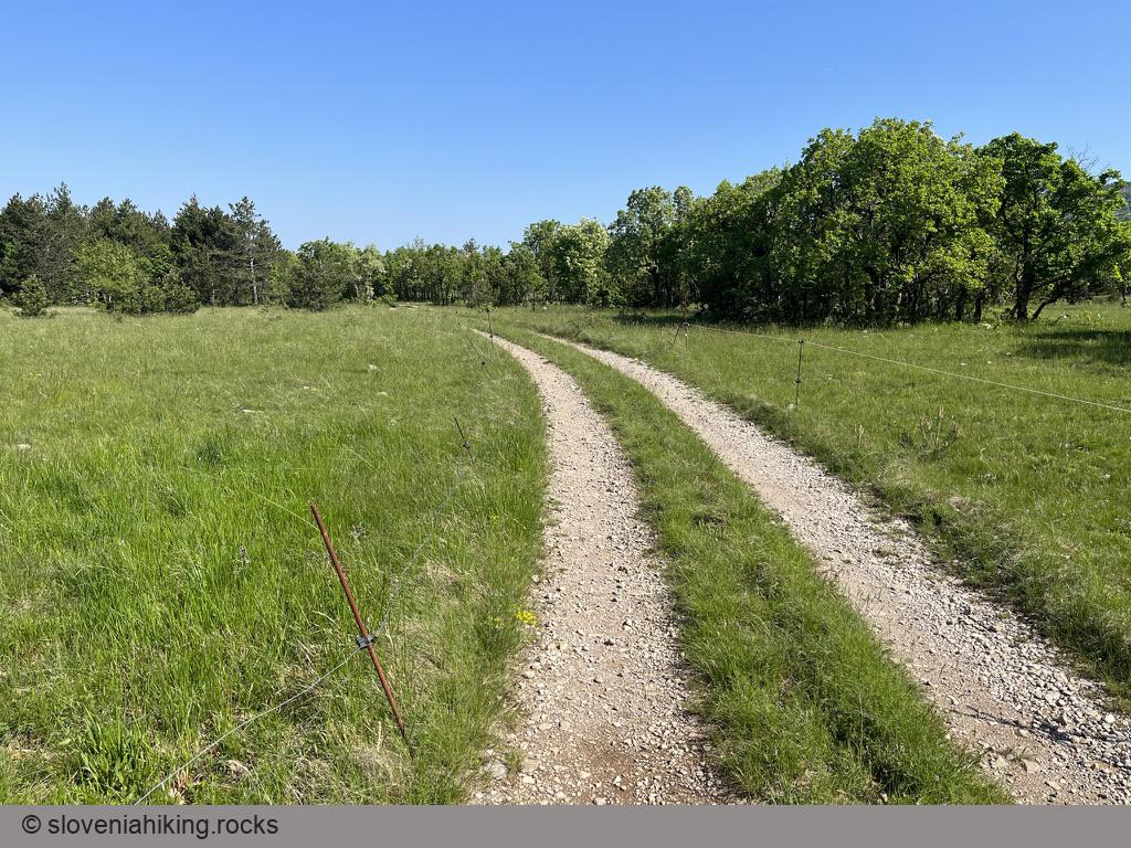
- When you reach the plateau around Rakitovec, turn left onto a dirt road and follow hiking waymarks (red circle with blue line)
- After a short and pretty easy ascent, the dirt road merges with a wider gravel road that will slowly bring you to Kuk.
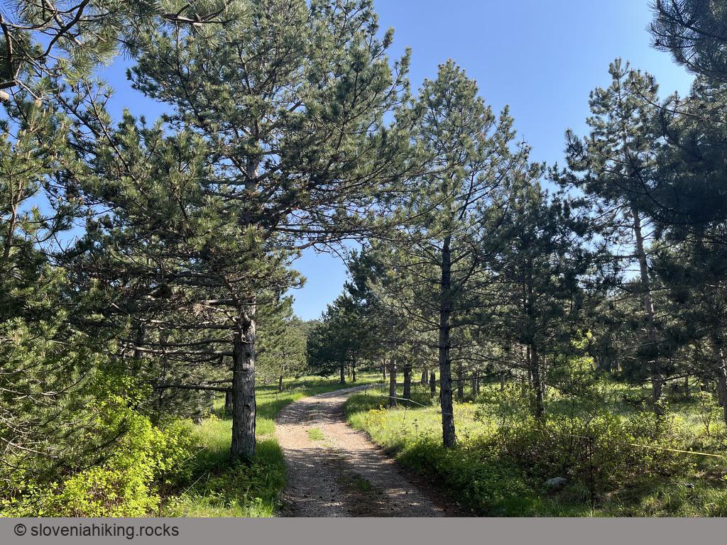
- Ready for dirt trails? Follow the hiking waymarks and blue signs onto a dirt trail descending toward our next destination: Lačna.
- There’s a dirt/gravel road descending toward Smokvica just before the start of the final ascent toward Lačna. If you found the last bit of the trip demanding, you really should take it.
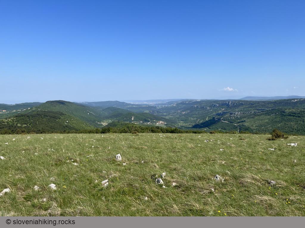
- Still with us? After a few short, steeper sections, the narrow dirt trail brings us close to the vista tower on Lačna. Take a break, climb the tower, and enjoy the view.
- I found the descent to Gračišče the most challenging part of the tour. You might want to skip it, return to the gravel road I mentioned above, and use it to get back to Smokvica.
- So you decided to go for it? Cool. Follow the blue signs and arrows onto a narrow rocky and/or muddy dirt trail. Keep left, and you’ll eventually hit the old road from Kubed to Gračišče. You’re almost there: turn left, push through the last ascent (yeah, I know, totally superfluous), and you’ll be in the village. Follow what seems to be the main road, and you’ll safely get back to your car.


Map of the Route
The map shows the path we took as recorded by the GPS receiver. Never trust a GPS track wholeheartedly; rely on your senses and maps.