Hiking in Slovenia » Vipava Valley » Saint Nicholas above Vipava Valley
As you’re traveling on the highway from Postojna toward Vipava, you might notice a tiny church high on the slopes of Nanos plateau (look right just before the gas station) – the Saint Nicholas church, a perfect destination for a short family hike.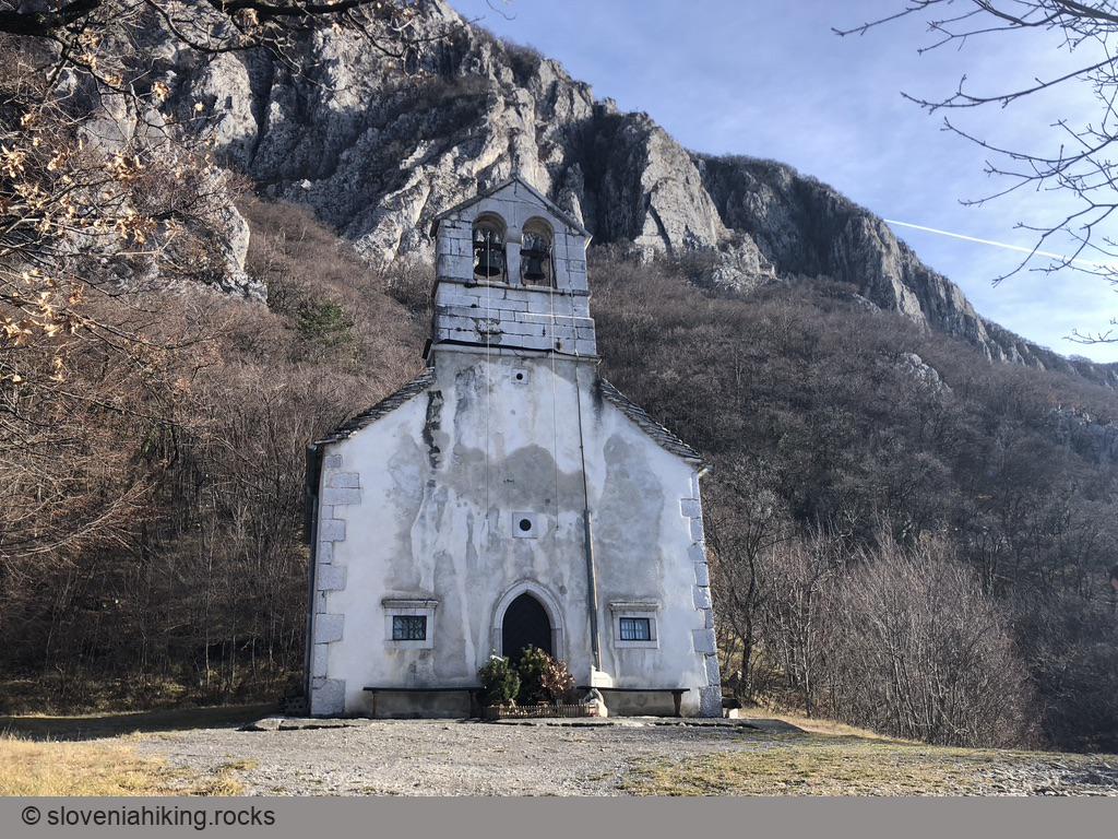
At a Glance
- Difficulty
- Easy walk with a few short steeper sections
- Altitude
- 445 m
- Average time
- 2 h
- Elevation gain
- 210 m
- Coordinates
-
Start: 45.832270,13.971014
Peak: 45.819506,13.982114
Notes
- Park in a large parking lot above Gradišče (a village next to Vipava) near Kamp Tura.
- Here’s a boring way to hike to the church: from the parking lot entrance, follow the signs for Miklav (local spelling of Miklavž, Slovenian name for Saint Nicholas) onto a well-marked dirt trail that eventually morphs into a footpath and brings you to the destination in ~45 minutes (translated Slovenian text contains a more “poetic” description)
Want more fun (and avoid the crowds)?
- From the southern tip of the parking lot, follow a descending gravel road (toward the highway).
- Keeping onto the broadest road, take a left on every fork.
- The gravel road will eventually turn into a dirt road and later into a narrow dirt trail.
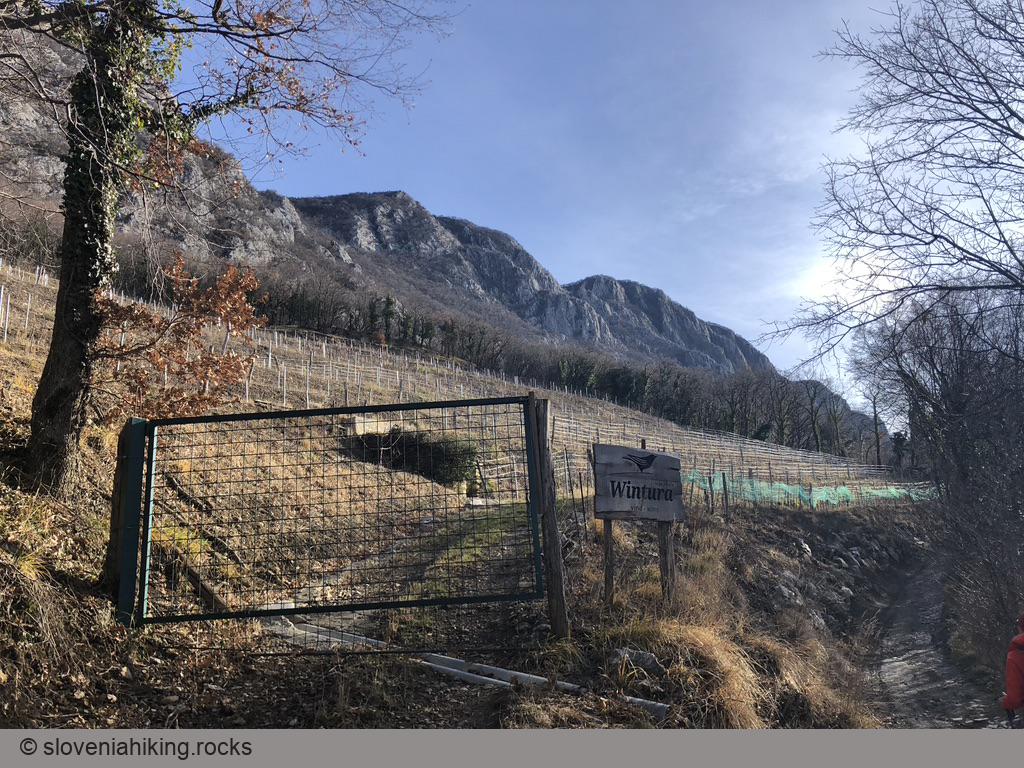
- A new vineyard (Wintura farm) will surprise you in the middle of an overgrown forest. A few minutes later, it’s time to start looking for an uphill path that will take you to the waymarked trail.
- We took a steep footpath (following a beaten sign for Vipava Ultra Trail); it would be perfectly fine to take the next dirt trail going uphill – the path we chose quickly merges with it anyway.
- Always choose the uphill trail, and you’ll eventually reach the marked footpath. Turn right – the destination is just a few minutes away. If you happen to get to a gravel road, you overshot – turn left.
- On the way back, follow the waymarks, or take any one of the paths going down – you’re bound to reach the trail you used before.
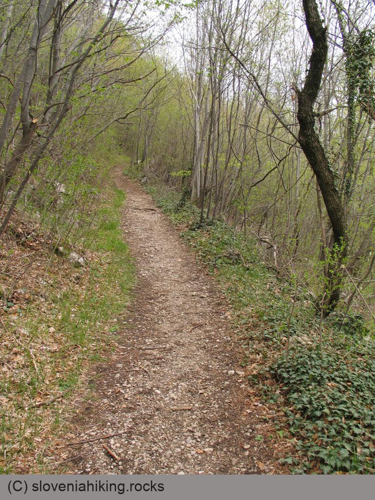
Photo Gallery

Map of the Route
The map shows the path we took as recorded by the GPS receiver. Never trust a GPS track wholeheartedly; rely on your senses and maps.