Hiking in Slovenia » Julian Alps » Lipanca pasture » Lipanca from Medvedova konta
The ascent from Medvedova Konta to Lipanca is the shortest way to get to this lovely alp. Use it when you want to visit the peaks above Lipanca (but be early; it’s tough to find a parking spot in the summer months).At a Glance
- Altitude
- 1630 m
- Average time
- 1 h
- Elevation gain
- 220 m
- Coordinates
-
Start: 46.374746,13.941008
Peak: 46.375630,13.927670
At a Glance
- Altitude
- 1630 m
- Average time
- 1 h
- Elevation gain
- 220 m
- Coordinates
-
Start: 46.374746,13.941008
Peak: 46.375630,13.927670
Getting There
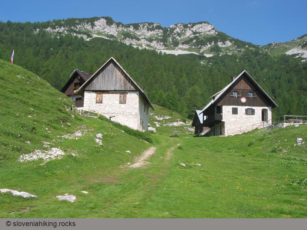
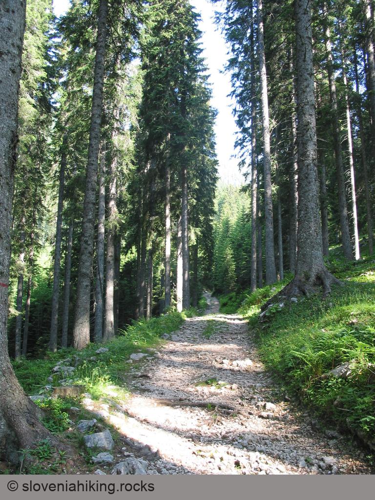
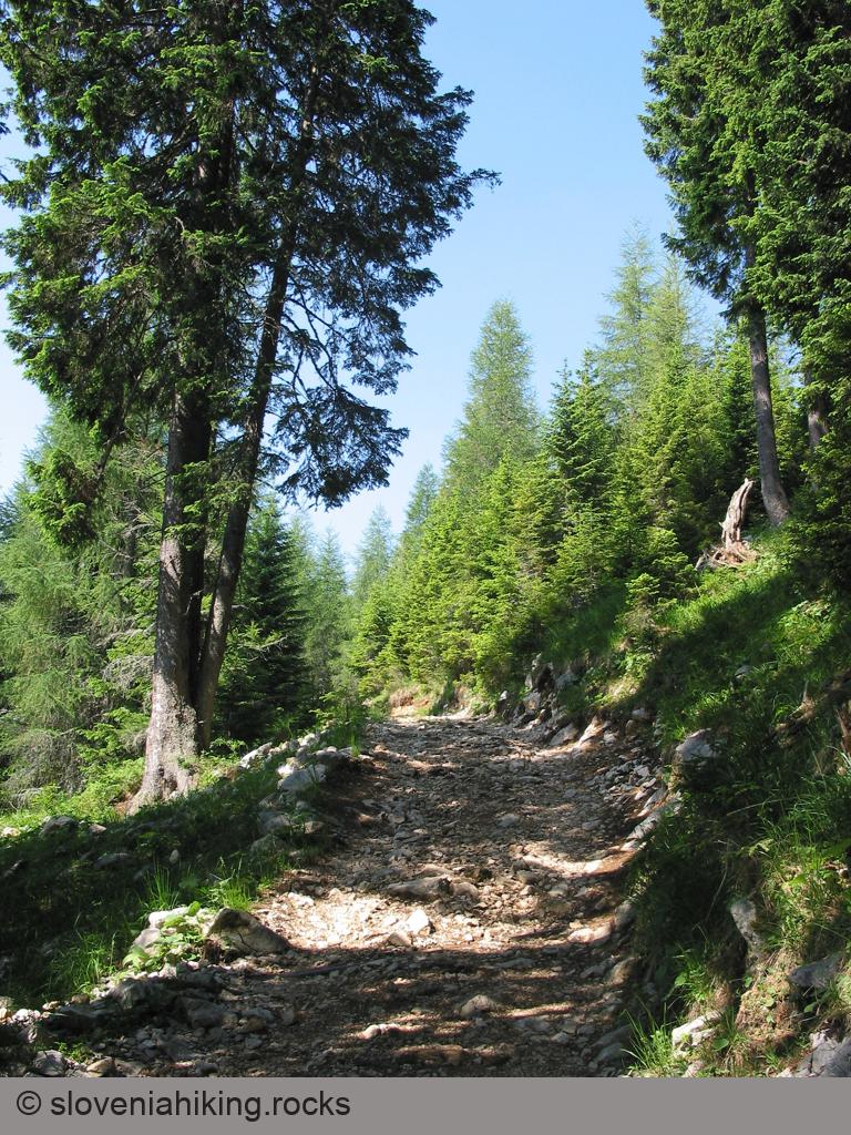
Once you get to the parking in Medvedova Konta, it’s almost impossible to get lost: follow the signs for Lipanca onto a rocky trail and keep going straight until you get to Lipanca.
Photo Gallery
Map of the Route
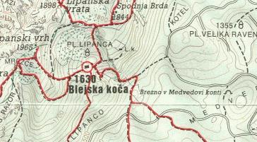

The map shows the path we took as recorded by the GPS receiver. Never trust a GPS track wholeheartedly; rely on your senses and maps.