Hiking in Slovenia » Julian Alps » Kobilja glava
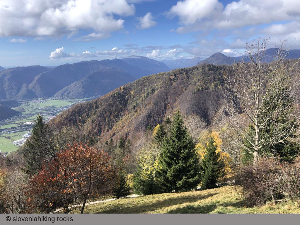
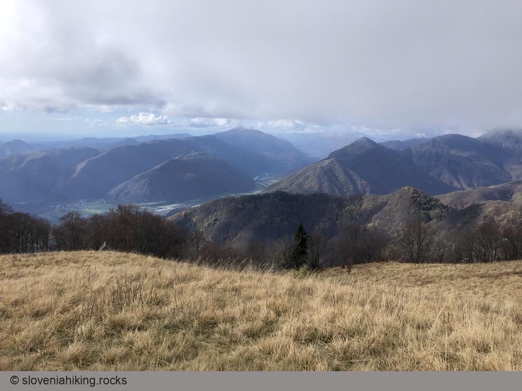
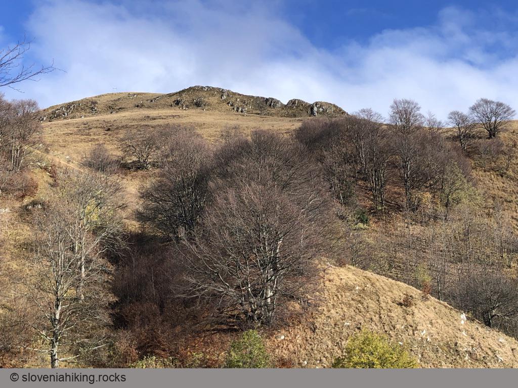
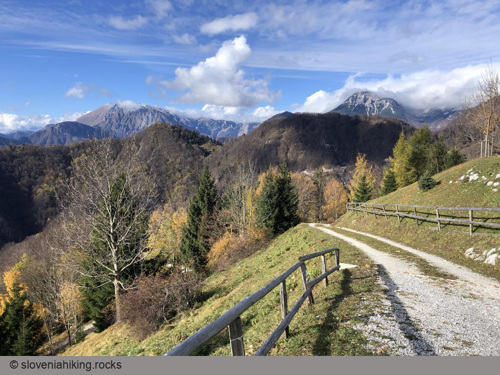
Kobilja glava is a grassy peak east of Tolmin with a wonderful view of southern peaks of Julian Alps. You could hike there from Planina Stador (Stador Alp), or start way lower on the road to extend the hike for another hour.At a Glance
- Difficulty
- Steep footpath with rare faded waymarks
- Altitude
- 1475 m
- Average time
- 2.5 h
- Elevation gain
- 430 m
- Coordinates
-
Start: 46.190533,13.782526
Peak: 46.190011,13.795463
Notes
- Park on Planina Stador (Stador Alp)
- Follow the signs for Kobilja Glava toward the mountain hut. The sign just before the mountain hut was totally washed out in November 2021; follow something that looks like a wooden arrow pointing left.
- Eventually, you’ll reach the end of the gravel road next to Chalet Astra Montana. Continue onto a narrow footpath.
- The signs try to help you, but you’ll need a tiny bit of scouting skills to get to the ridge of Šprinca (an almost-invisible bump on the slopes of Kobilja Glava).
After that you can’t get lost:
- Follow the ridge to the peak;
- Traverse a tiny saddle to get to the last hut on the alp;
- Follow a well-worn footpath toward the saddle left of an enormous cross on Kobilja Glava.
- When reaching the main ridge of Kobilja Glava, turn right to reach the cross.
Going for a Longer Hike
Want to go for a longer hike? Starting halfway up the hill will extend your trek for another hour (and add 400 m of altitude gain):
- As you drive toward Stador Alp, you’ll notice a bright red mountaineering sign pointing into the woods next to a sharp right hairpin.
- Park right after the hairpin.
- Follow the red sign onto a sparsely-marked footpath that quickly merges with a wide dirt trail. Follow the dirt trail to Stador Alp.
Photo Gallery
Map of the Route
The map shows the path we took as recorded by the GPS receiver. Never trust a GPS track wholeheartedly; rely on your senses and maps.


