Biking in Slovenia » Primorska » Široko on Banjšice Plateau
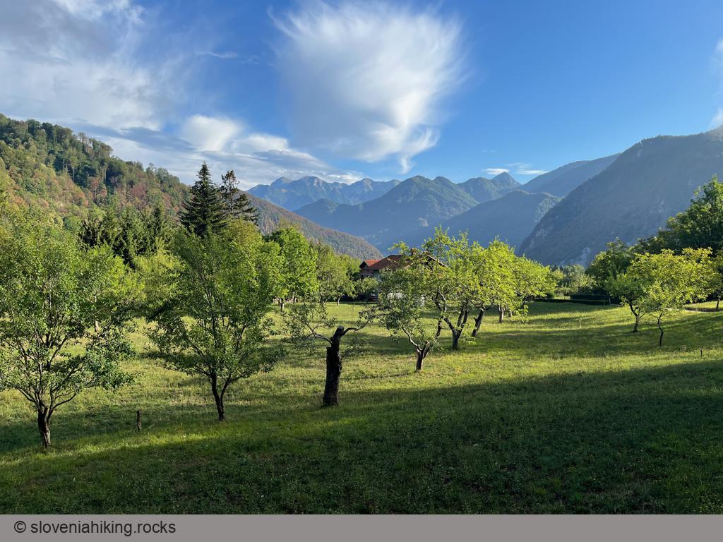
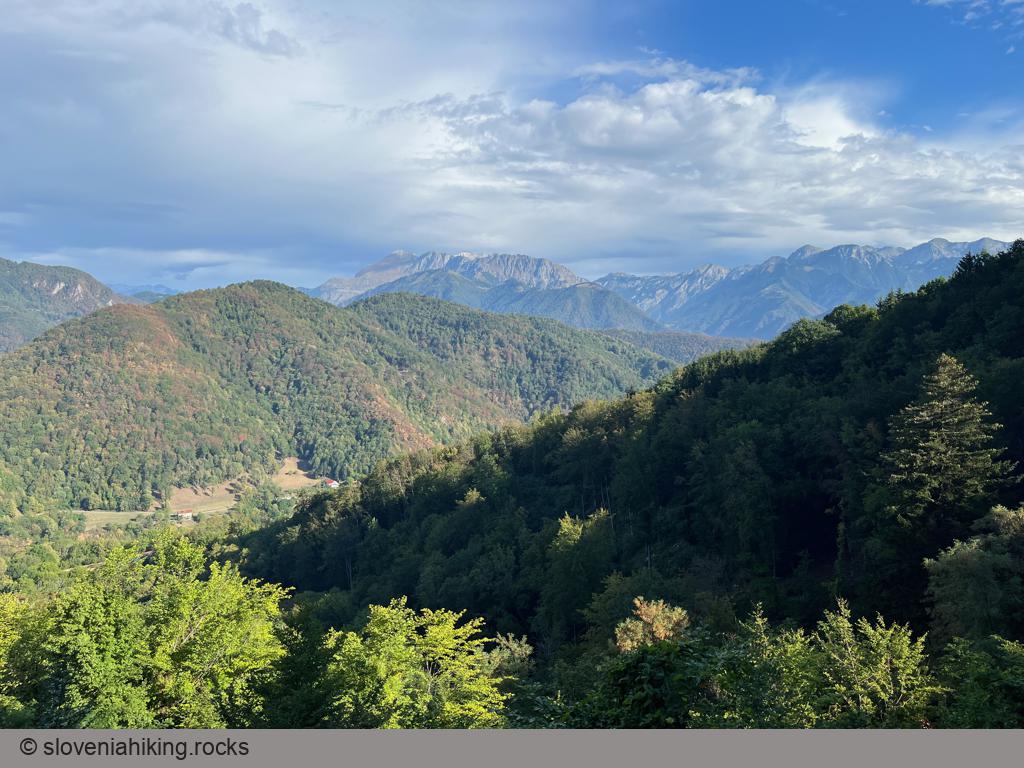
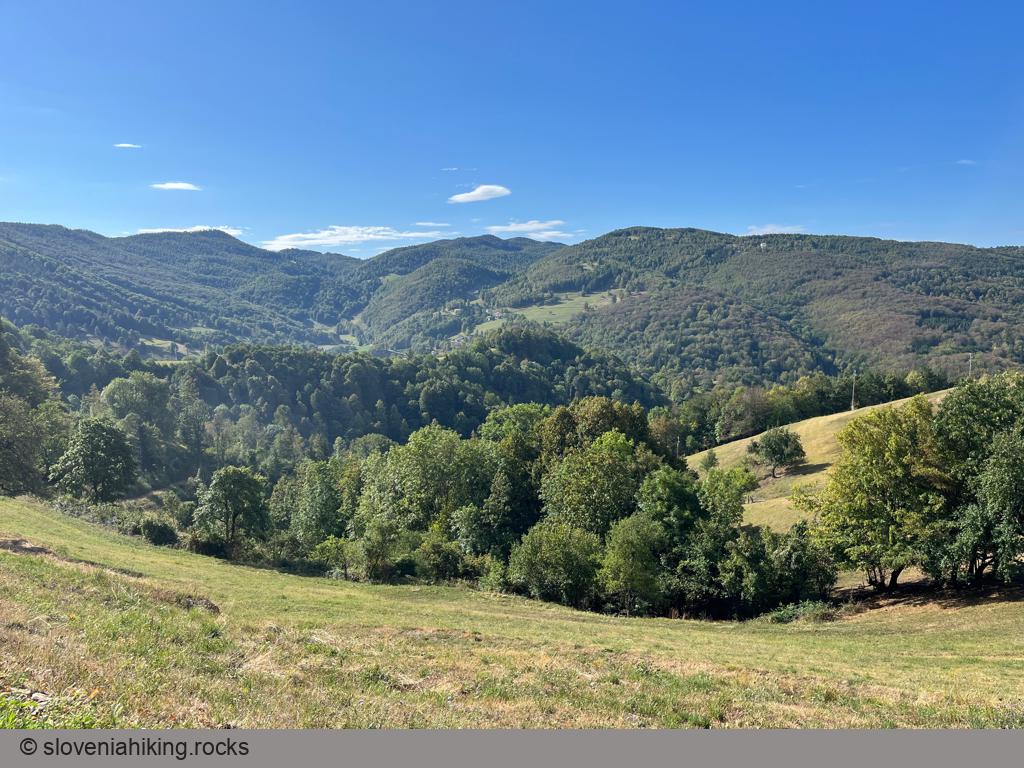
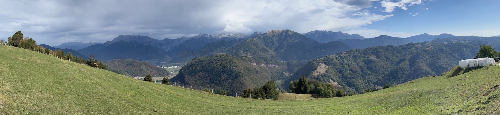
Široko is a vista point on the northern edge of Banjšice Plateau, high above the confluence of Idrijca and Soča. Getting there takes a steep and strenuous ascent regardless of whether you hike there from Most na Soči train station or bike from the village center, but the rewarding views of the southern ridges of the Julian Alps are well worth the effort.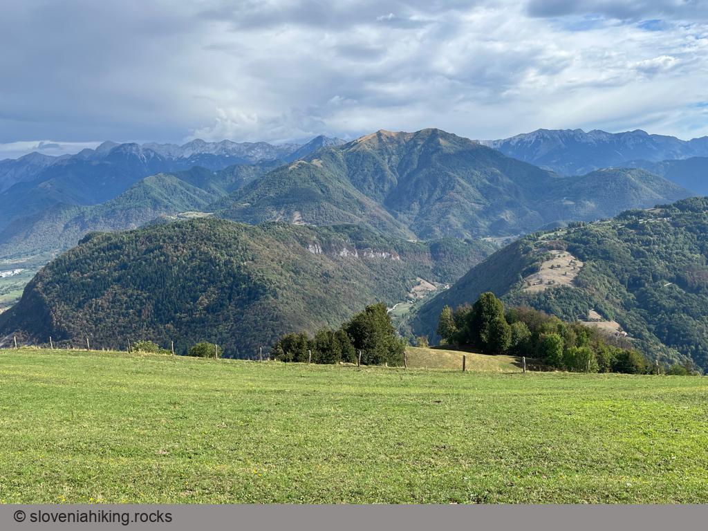
At a Glance
- Difficulty
- Steep ascent on asphalt road
- Altitude
- 755 m
- Average time
- 2.5 h
- Elevation gain
- 590 m
- Distance
- 13 km
- Coordinates
-
Start: 46.155443,13.747461
Peak: 46.131466,13.759541
Getting There
- Park in a large parking lot just outside of Most na Soči village.
- Return to the village center, cross the main road, and continue onto a narrow barely-visible descending road.
- Cross the Idrijca river and stay on the main road (following rare signs for Široko farm) until you reach a tiny rest area in Tolminski Lom.
- Take the left road, huff-and-puff for another half an hour, follow the signs for the Široko parking lot and enjoy the views.
According to OpenCycleMap, the hiking path from the train station might be wide enough for a mountain bike descent; unfortunately, an incoming thunderstorm made sure I couldn’t check it out.
Map of the Route
The map shows the path we took as recorded by the GPS receiver. Never trust a GPS track wholeheartedly; rely on your senses and maps.