Biking in Slovenia » Primorska » Šentviška Gora
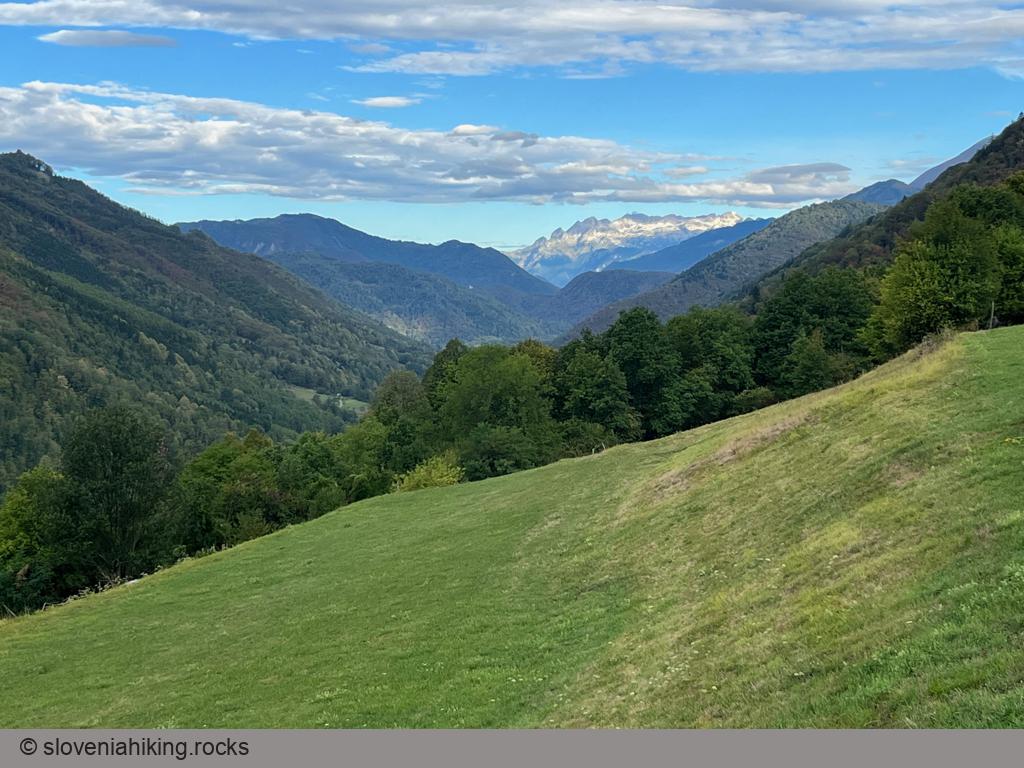
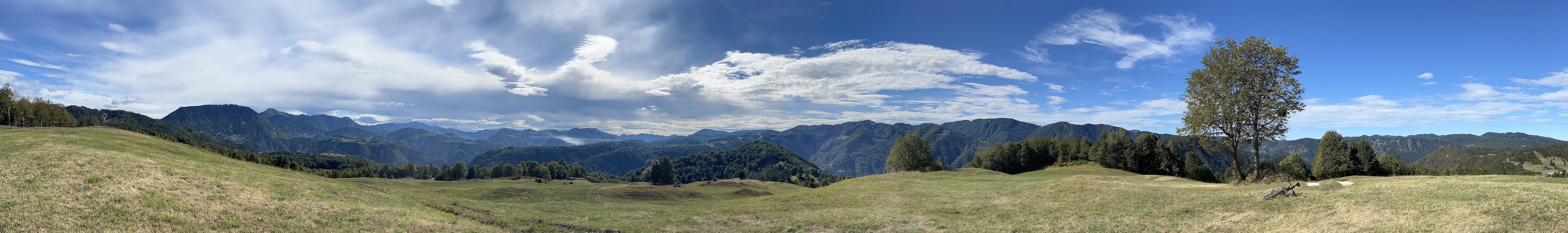
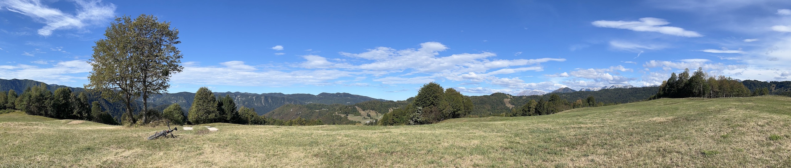
Šentviška Gora is the largest settlement on a lovely high plateau between Idrijca and Bača valleys. The nearby vista point on Arbišče offers beautiful views of Cerkno and Idrija hills, Trnovski Gozd, Vojsko, and the Julian Alps.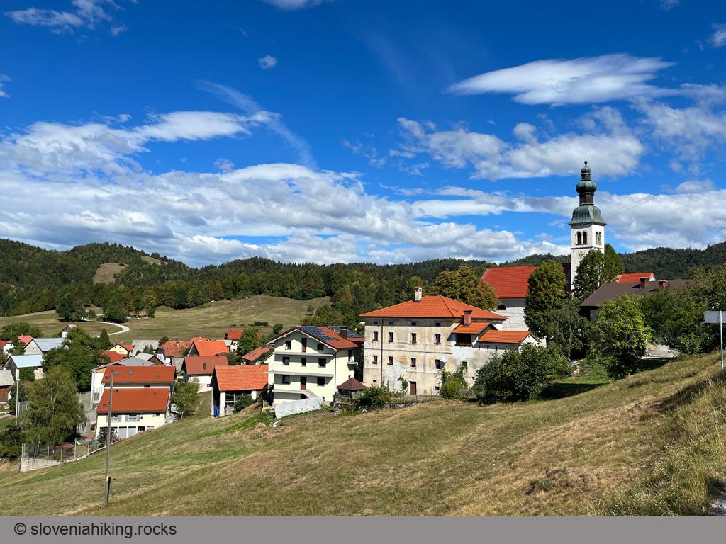
At a Glance
- Difficulty
- Reasonably steep asphalt road
- Altitude
- 700 m
- Average time
- 2.5 h
- Elevation gain
- 580 m
- Distance
- 22 km
- Coordinates
-
Start: 46.119036,13.805734
Peak: 46.108664,13.878427
Getting There
- In Slap ob Idrijci, park in a small parking lot above the main road.
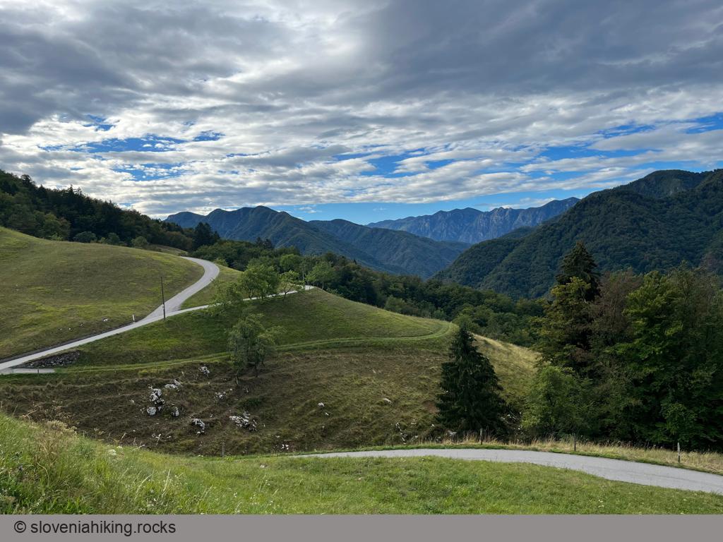
- Follow the signs for Šentviška Gora and stay on the main road until you reach a crossroads at the plateau’s edge. Take a break. You could also park at the crossroads if you hate steep ascents.
- Turn right (direction Šentviška Gora) and follow the road till you reach the destination.
To reach the vista point:
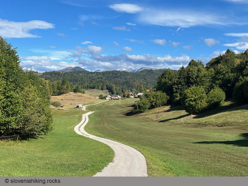
- Turn right near the church in Šentviška Gora (direction Zakraj)
- A large meadow opens just after the last houses in the village. Cross it, and follow the left (ascending) asphalt road.
- A short but strenuous ascent will bring you to the vista point. Enjoy the views
I decided to return to Slap ob Idrijci; the locals had many enticing suggestions, including a roundtrip around the plateau. For more details, explore OpenCycleMap and the local information tables.
Map of the Route
The map shows the path we took as recorded by the GPS receiver. Never trust a GPS track wholeheartedly; rely on your senses and maps.