Hiking in Slovenia » Karst Plateau » Cerje
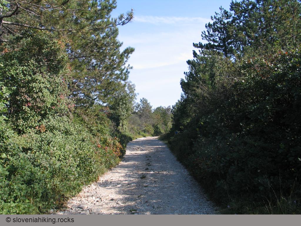
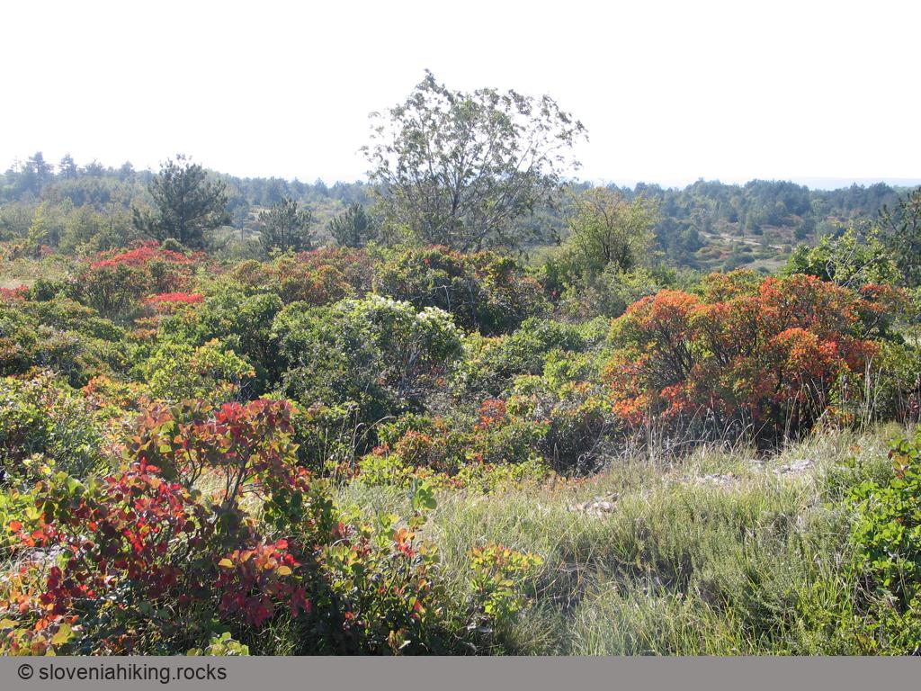
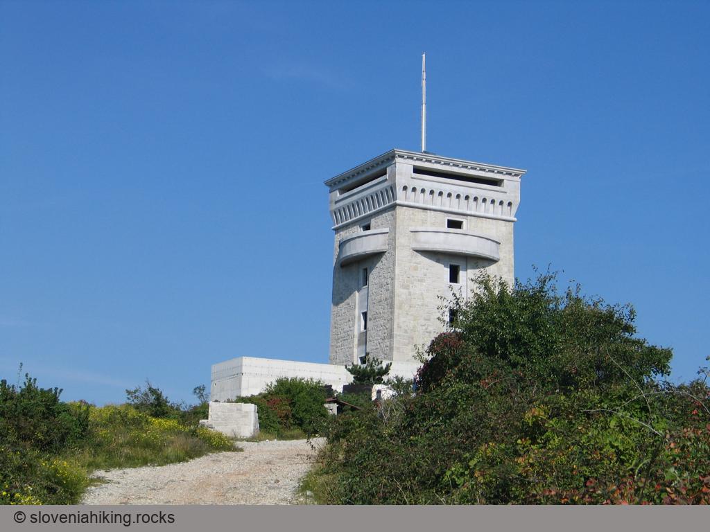
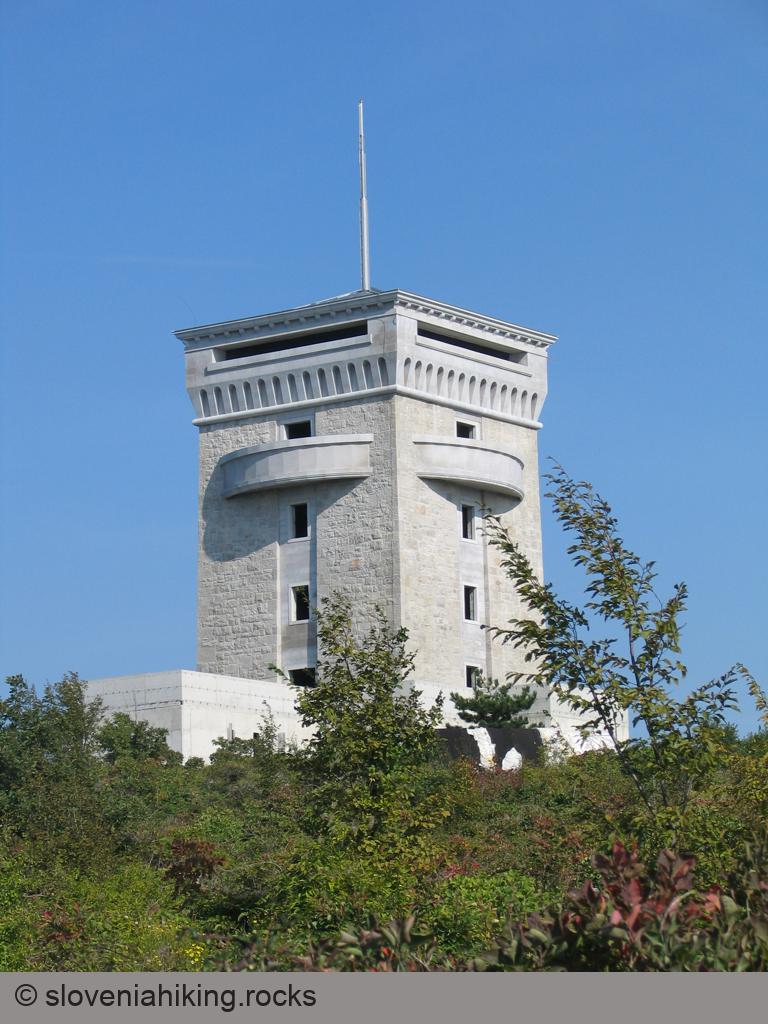
Hiking to Cerje, a hilltop with a fantastic view high above Vipava valley, was fun before it was graced with a gigantic Monument of Peace. Gravel roads got a needless coat of asphalt, and the old footpaths turned into wide rocky trails… but if you’re creative and take plenty of detours, you can still have a lovely Karst experience.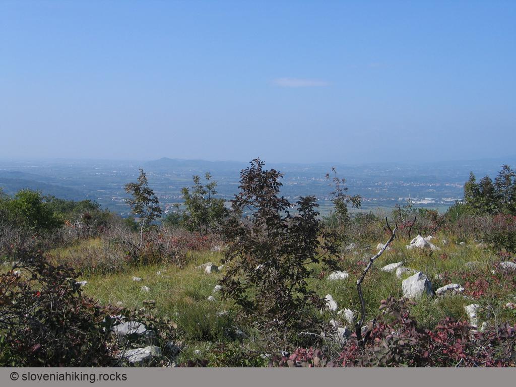
At a Glance
- Difficulty
- Easy hike across Karst meadows and forests
- Altitude
- 343 m
- Average time
- 1.5 h
- Elevation gain
- 150 m
- Coordinates
-
Start: 45.873359,13.593190
Peak: 45.872442,13.615999
Getting There and Back
- Park at the large parking lot next to Miren-Kostanjevica road
- Follow the narrow asphalt road until the first left turn, then take a footpath going right.
- The path will eventually veer toward the left, bringing you to a gravel road.
- At the next signpost, turn sharp left onto a narrow path disappearing into the bushes. Follow it till you get back to the asphalt road.
- Cross the asphalt road and follow the signs for Cerje until you get to the observation tower. Enjoy the views and visit the museum.
- On the way back, watch for a narrow footpath going right. Follow it to a meadow, where it joins with a gravel road.
- Turn right onto the gravel road and turn left after a few meters (direction Miren).
- After passing the high-voltage power lines, turn left onto a dirt trail that will bring you to where you left the asphalt road at the beginning of your hike.
Photo Gallery
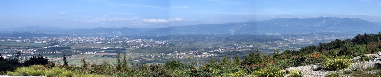
View from the Top
Map of the Route
The map shows the path we took as recorded by the GPS receiver. Never trust a GPS track wholeheartedly; rely on your senses and maps.