Hiking in Slovenia » Julian Alps » Lipanca pasture » Lipanca from Hotel Pokljuka
If you’d like to have a long hike through Pokljuka forests combined with a whiff of an ascent, a great view, and some local food in a mountain hut, hike from Hotel Pokljuka to Lipanca.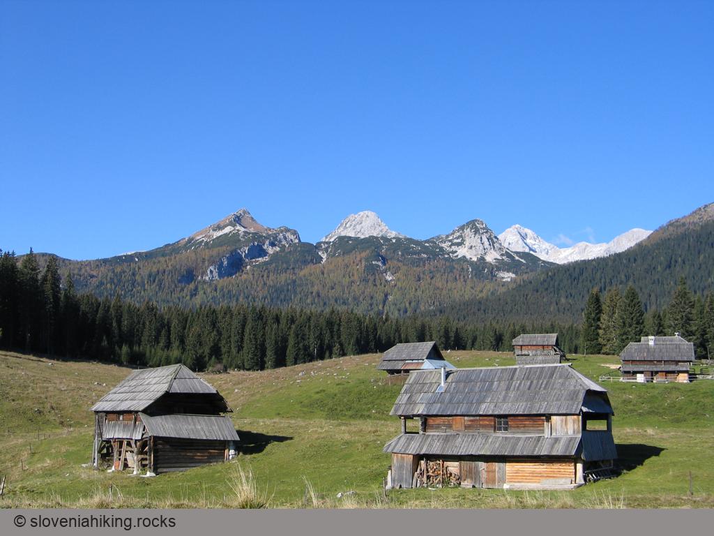
At a Glance
- Altitude
- 1630 m
- Average time
- 4 h
- Elevation gain
- 460 m
- Distance
- 5.9 km
- Coordinates
-
Start: 46.341596,13.961097
Peak: 46.375630,13.927670
Getting There
- Hike from Hotel Pokljuka to Zajavornik Alp
- After crossing a gravel road, continue north on a wide rocky trail, following signs for Blejska Koča/Lipanca.
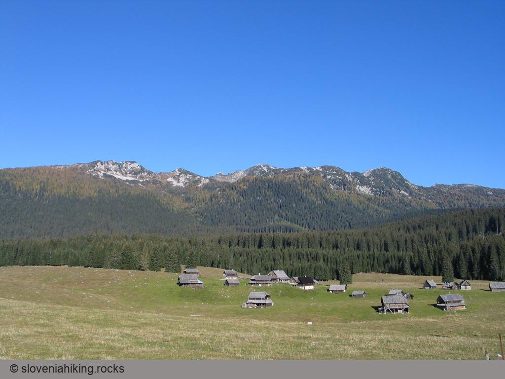
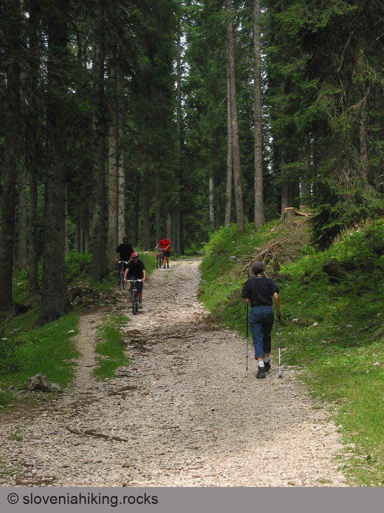
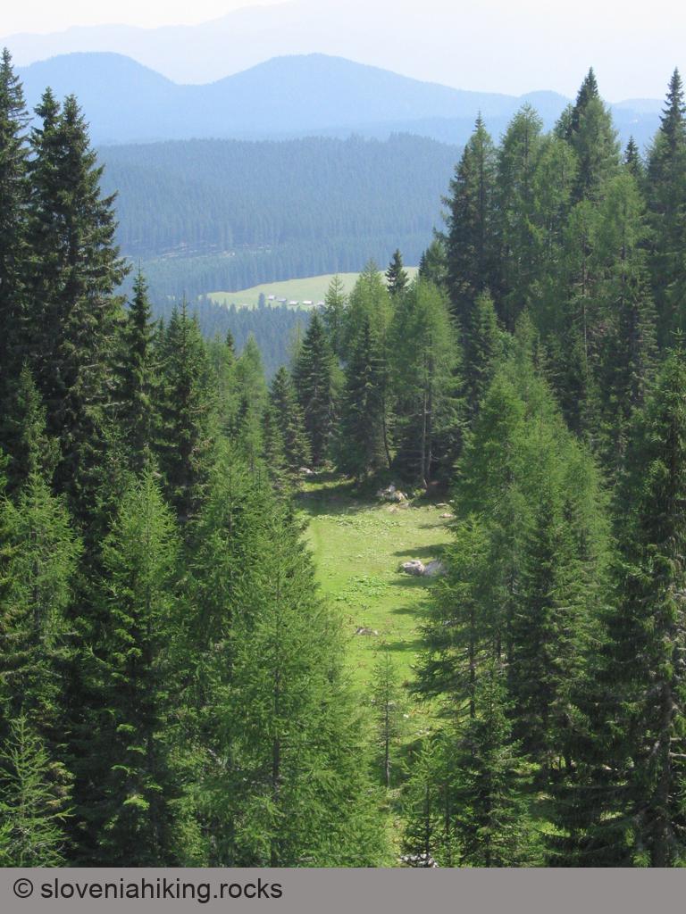
Photo Gallery

Map of the Route
The map shows the path we took as recorded by the GPS receiver. Never trust a GPS track wholeheartedly; rely on your senses and maps.