Biking in Slovenia » Julian Alps » Zajamniki and Uskovnica
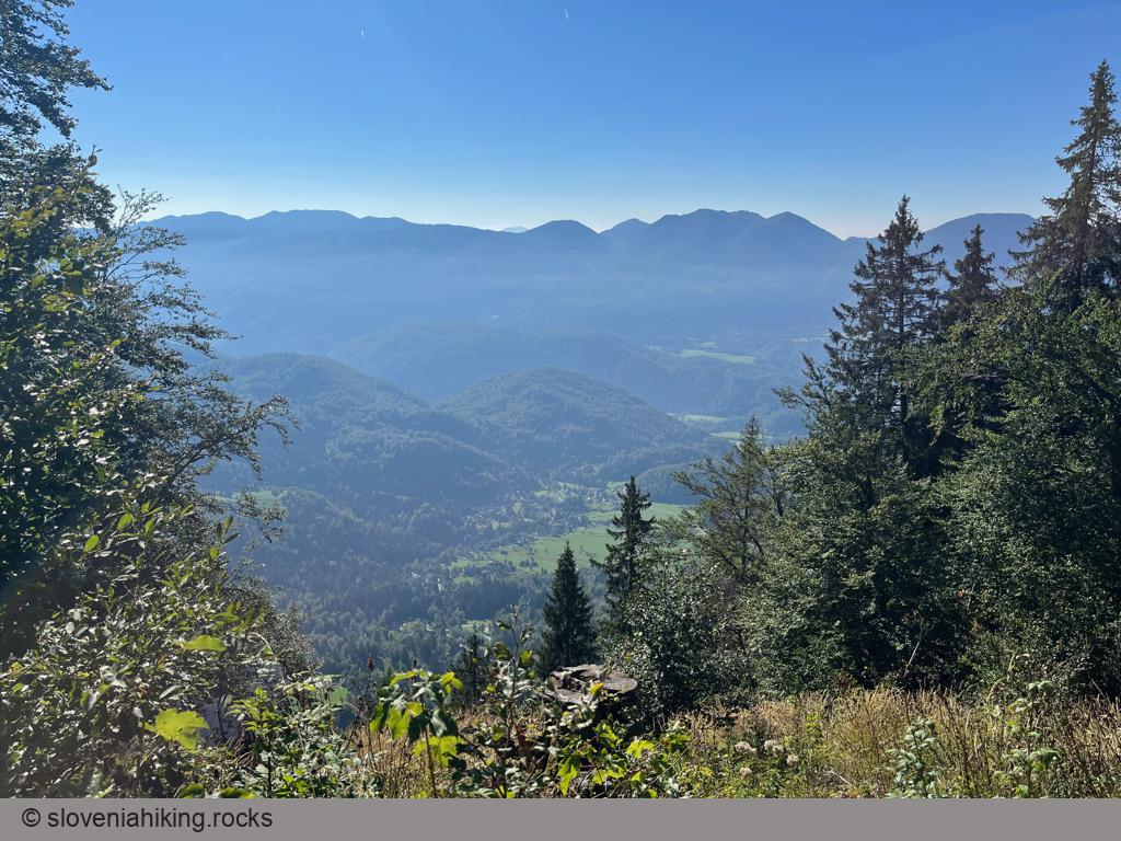
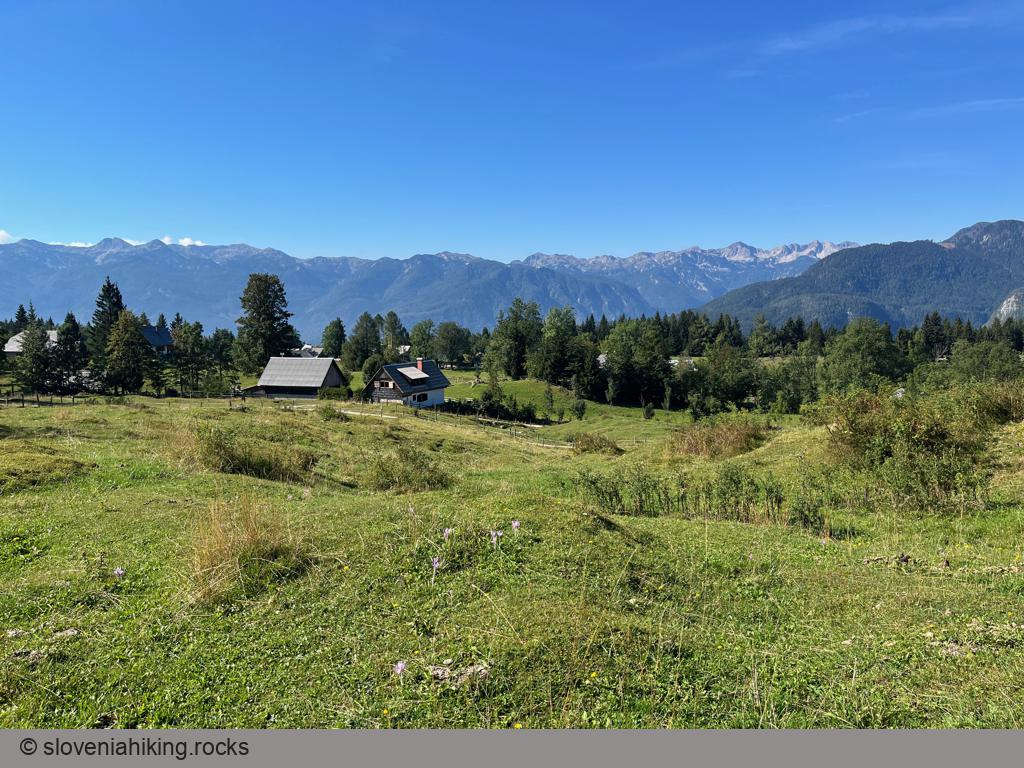
Zajamniki is the most picturesque Pokljuka alp; Uskovnica has the best vistas. You can visit both of them and a half-dozen other alps on the southern slopes of Pokljuka in just a few hours. Let’s go!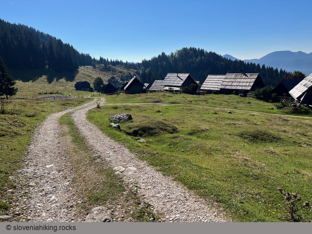
At a Glance
- Difficulty
- A mix of asphalt and gravel roads
- Altitude
- 1380 m
- Average time
- 3 h
- Elevation gain
- 410 m
- Distance
- 20.1 km
- Coordinates
-
Start: 46.341548,13.961045
Peak: 46.313641,13.932656
Getting There and Back
- Park somewhere close to Sport Hotel Pokljuka or at Rudno Polje sport center. Even better, spend a few days on Pokljuka ;)
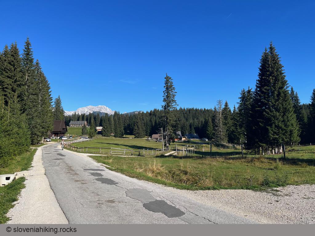
- If you decide to start at Rudno Polje, use the asphalt road to return to Sport Hotel.
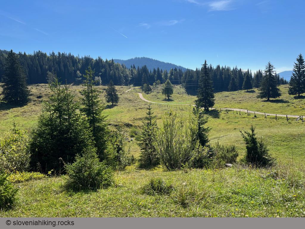
- Follow the narrow asphalt road through Goreljek until you reach a gravel road with a bunch of signs pointing to the alps you’ll pass on your way.
- Stay on the main gravel road until told otherwise ;)
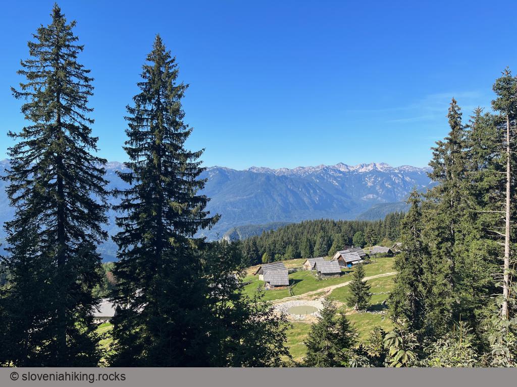
- Jelje alp is closed off, but you can use narrow side roads to reach Konjska Dolina and Zajamniki. You can’t miss them; there are signs next to the main road.
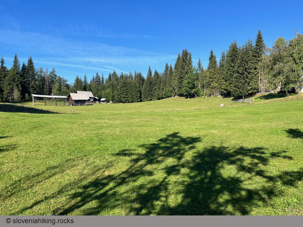
- Take a break at Zajamniki or Praprotnica (the lowest point of our ride).
- A short ascent will bring you from Praprotnica to the crossroads, from where you could return to Rudno Polje or visit Uskovnica.
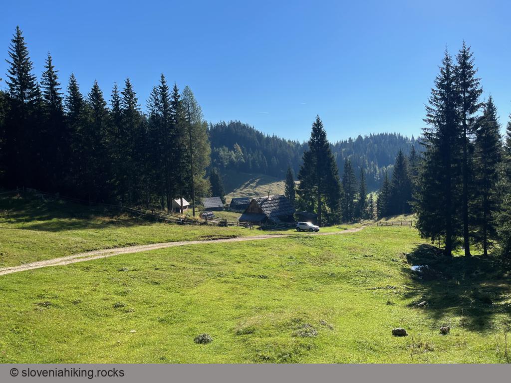
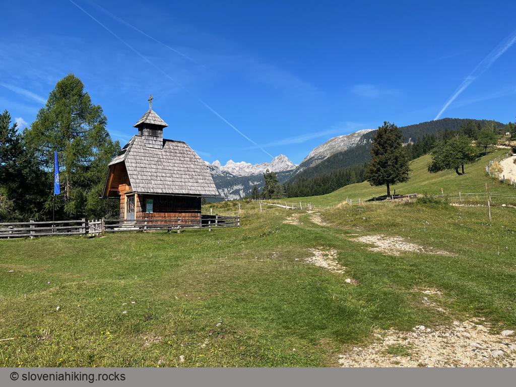
If you decide to visit Uskovnica (you should, the views are phenomenal), follow the signs onto a descending gravel road and later onto a narrow road closed for motorized traffic. I stopped at the chapel; you could continue to the mountain hut and have lunch there. Regardless of where you stop at Uskovnica, you’ll have to return to the crossroads; there’s no other reasonable way to get back.
- Start biking in the direction of Rudno Polje.
- If you’re tired, stay on the main road at the next junction; otherwise, take a strenuous shortcut across yet another alp.
- The gravel road will bring you to Rudno Polje. If you parked at Sport Hotel, use the asphalt road to get there.
Map of the Route
The map shows the path we took as recorded by the GPS receiver. Never trust a GPS track wholeheartedly; rely on your senses and maps.