Hiking in Slovenia » Notranjska » Polhograjska Gora
Imagine you were living in a small village in the 17th century. How would you call the hilltop behind it? If it’s high enough, it’s bound to be The Mountain. Fast forward to the times of mass tourism – the townspeople want to know which Mountain they visited when they brag about their weekend trips. Welcome to the etymology of Polhograjska Gora (Polhov Gradec Mountain), a lovely hilltop with a church of Saint Laurent.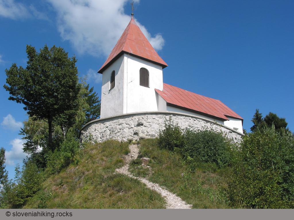
At a Glance
- Difficulty
- Steep wide easy-to-follow footpath
- Altitude
- 824 m
- Average time
- 2.5 h
- Elevation gain
- 450 m
- Coordinates
-
Start: 46.068057,14.313456
Peak: 46.070824, 14.298751
Notes
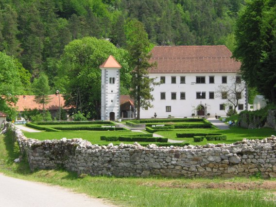
- Park near Polhov Gradec Castle and follow the signs for Sveti Lovrenc and Čebelarski Dom (Beekeeper Lodge) toward a bright yellow house at the edge of the village.
- The footpath starts right after that house. You can’t miss it – there’s a gigantic bee guarding it.
- In a few moments, you’ll reach a stela erected by some important local person to commemorate an even more important person dropping by to admire Daphne blagayana (you’ll find a more serious take on the subject on a panel next to the stela).
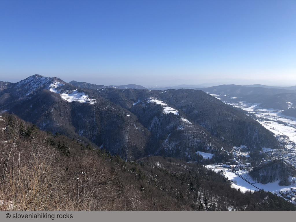
- The footpath turns sharp right. Following the (sparse, faded) waymarks for an hour or so will bring you to a saddle with lovely views of the Slovenian Alps.
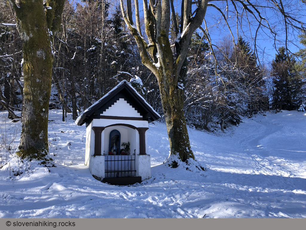
- Take one of the paths past the wayside shrine – both of them bring you to the church at the hilltop.
- On the way back, stop at the Museum of Post and Telecommunications in Polhov Gradec Castle – our kids loved to drop by and play with the old rotary phones.
Photo Gallery

Map of the Route
The map shows the path we took as recorded by the GPS receiver. Never trust a GPS track wholeheartedly; rely on your senses and maps.