Hiking in Slovenia » Notranjska » St. Lovrenc near Postojna » Sv. Lovrenc from Studeno
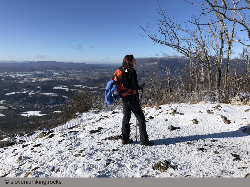
The steepest ascent to Sv. Lovrenc starts in Studeno, a village near Postojna. I love to take it when looking for a short but intensive morning hike after dropping the kids off at school.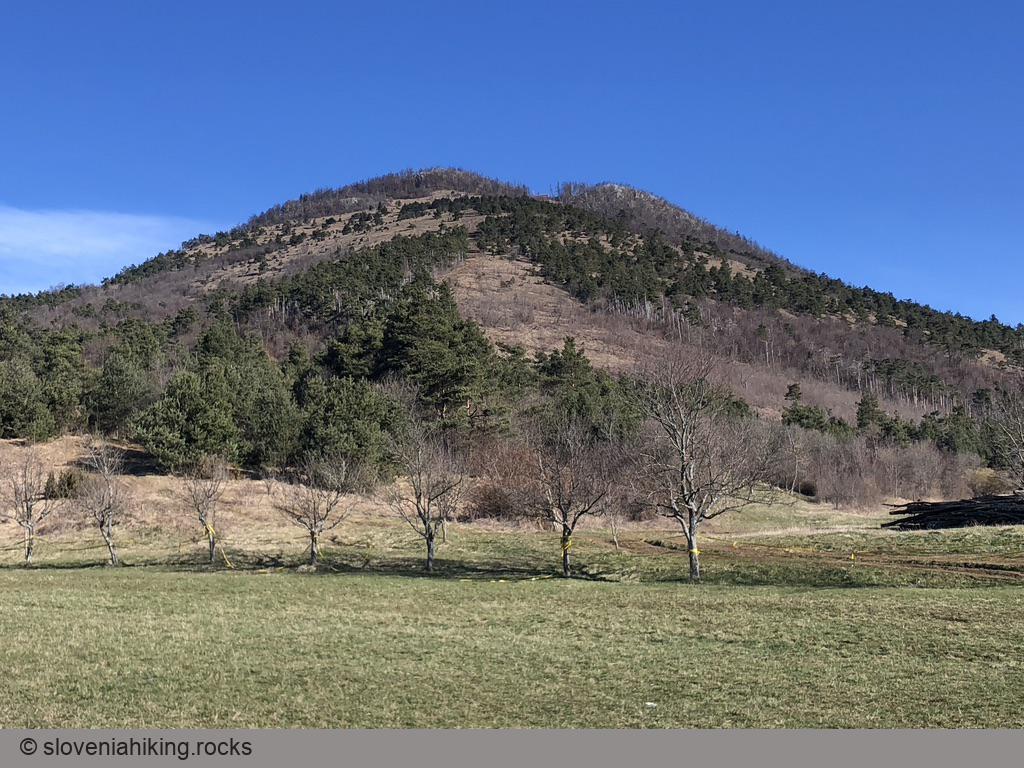
At a Glance
- Difficulty
- Steep hike over sunny meadows
- Altitude
- 1019 m
- Average time
-
Ascent: 1 hour
Descent: 45 minutes
Total: 2 hours
- Elevation gain
- 420 m
- Coordinates
-
Start: 45.826682,14.174066
Peak: 45.839000,14.167335
In a Nutshell
- In Studeno, follow the signs for Sv. Lovrenc onto a narrow road that brings you to a comfortable parking place.
- Find the sign for Sv. Lovrenc near a row of trees and follow it onto a footpath meandering through a sparse pine forest.
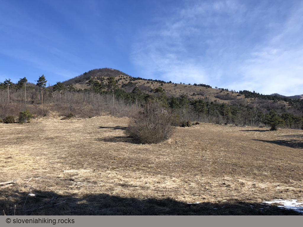
- The footpath quickly turns into a dirt trail going straight up the steep slope, first aside a massive clearing and later crossing sunny meadows.
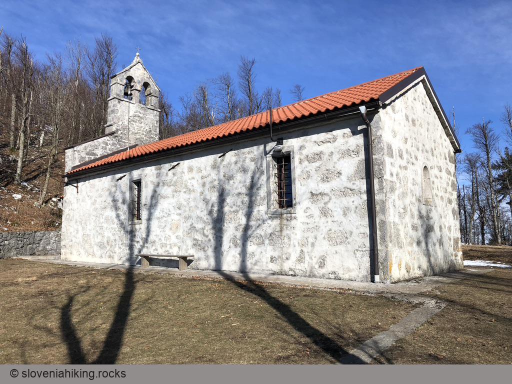
- In a bit less than an hour, you’ll reach the church of sv. Lovrenc (st. Laurent). Take a break and enjoy the view.
You might decide to end your hike at the church, or you could hike to the hilltop and make a detour on the way back:
- Find signs for Sv. Lovrenc pointing toward a footpath ascending through beech forest. In a few minutes, you’ll reach the hilltop with lovely benches and an enticing south-facing view.
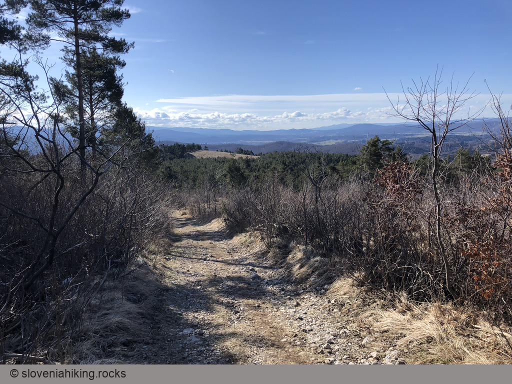
- Following the Predjamski grad (Predjama castle) signs, descend on a steep footpath following the waymarks until your path merges with a broader dirt trail coming from the right.
- Stop following the waymarks (which veer toward the right), and continue your hike on the dirt trail.
- Cross a gravel road, take a left on all junctions, and you’ll get to your car in less than 20 minutes.