Hiking in Slovenia » Gorenjska » Blegoš » Blegoš from Volaka
Want to check the view from Blegoš but hate the crowds? Try the solitary hike from Volaka – you’ll rarely meet someone on the old footpaths in the first half of the ascent and might encounter a like-minded soul when your path merges with the road from Leskovica. Obviously, after you’re close to the mountain hut, all bets are off.
Facts First
- Difficulty
- Steep solitary hike on old footpaths and logging trails. Ideal for the days when you feel the need to burn that extra burst of energy.
- Altitude
- 1562 m
- Average time
-
Ascent: 2.5 h
Descent: 2 h
Total: 5 h
- Elevation gain
- 990 m
- Coordinates
-
Start: 46.143675,14.105743
Peak: 46.164802,14.113583
Getting Started
Find the hamlet Volaka using the starting coordinates. Park in a small parking lot next to the bridge. Follow the red signs for Blegoš and the obvious waymarks.
Short description
Your hike starts on an old dirt road. When the road turns right, follow an old footpath on a ledge above an uncomfortably steep slope, cross an old wooden bridge, and follow the waymarks leading you along a steep, barely visible trail.
Be careful when that trail starts crossing logging trails crisscrossing the slope: stop following the waymarks when a red arrow sends you to the right, but continue along the logging trail for ~100 m until you reach a large gravel parking lot. Recent logging activity has destroyed parts of the old path you were following, and the waymarks haven’t been fixed yet (as of early 2021).
After you’ve reached the parking lot, you have two options:
- Continue following the waymarks toward Zavetišče na Jelencih (shelter on Jelenci). The path is easy to follow until you reach the shelter. Above it, a barely visible trail continues through a spruce forest – stop daydreaming and make sure you’re following the waymarks.
- Switch into “When You Come to a Fork in the Road, Take It” mode.
As long as you’re following dirt roads and logging trails that go uphill (with an occasional dash through the forest), and don’t veer too far left, you’ll eventually reach one of the other waymarked paths (example: the path that runs along the ridge above you). Warning: follow this strategy only if you’re perfectly comfortable getting lost on unknown terrain and feel confident you’ll be able to find your way back. Having a smartphone with preloaded maps is also not a bad idea.
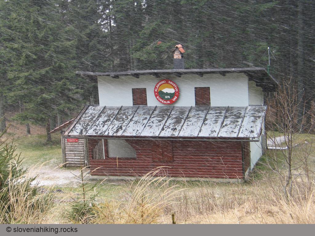
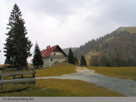
Regardless of what you decided to do, you’ll eventually arrive at the gravel road leading to the mountain hut below Blegoš. Follow the road, ignore the usual crowds around Koča na Blegošu (remember: you took this hike because you wanted to be alone with your thoughts), and enjoy the last steep ascent to the hilltop.
Getting Back
Use the hiking maps to find an alternate descent path if you wish to keep exploring. I usually prefer exploring on the way up and use the fastest route on the way back.
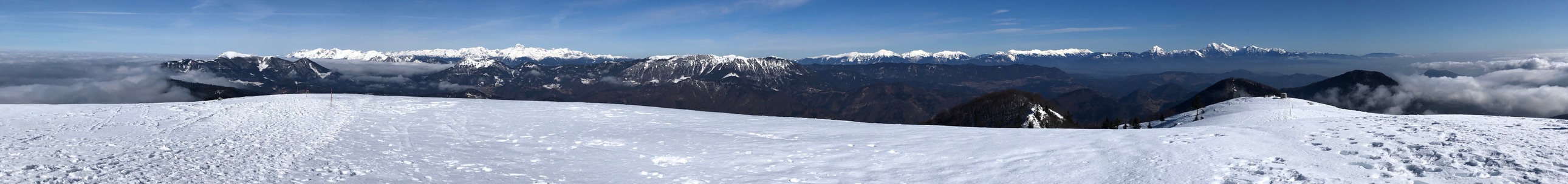
Photo Gallery
View from the Top
Map of the Route
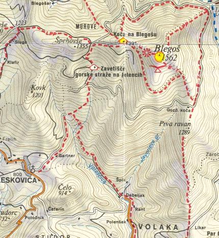
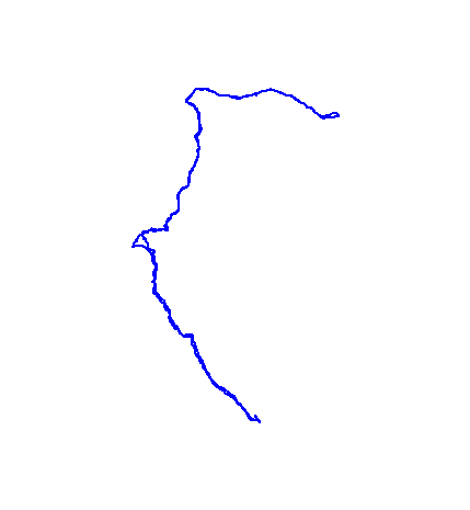
The map shows the path we took as recorded by the GPS receiver. Never trust a GPS track wholeheartedly; rely on your senses and maps.