Biking in Slovenia » Gorenjska » Ermanovec from Trebija
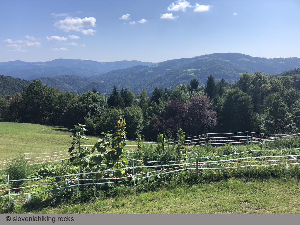
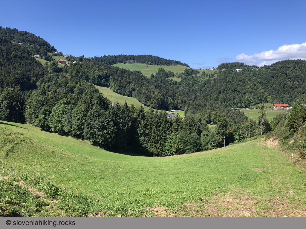
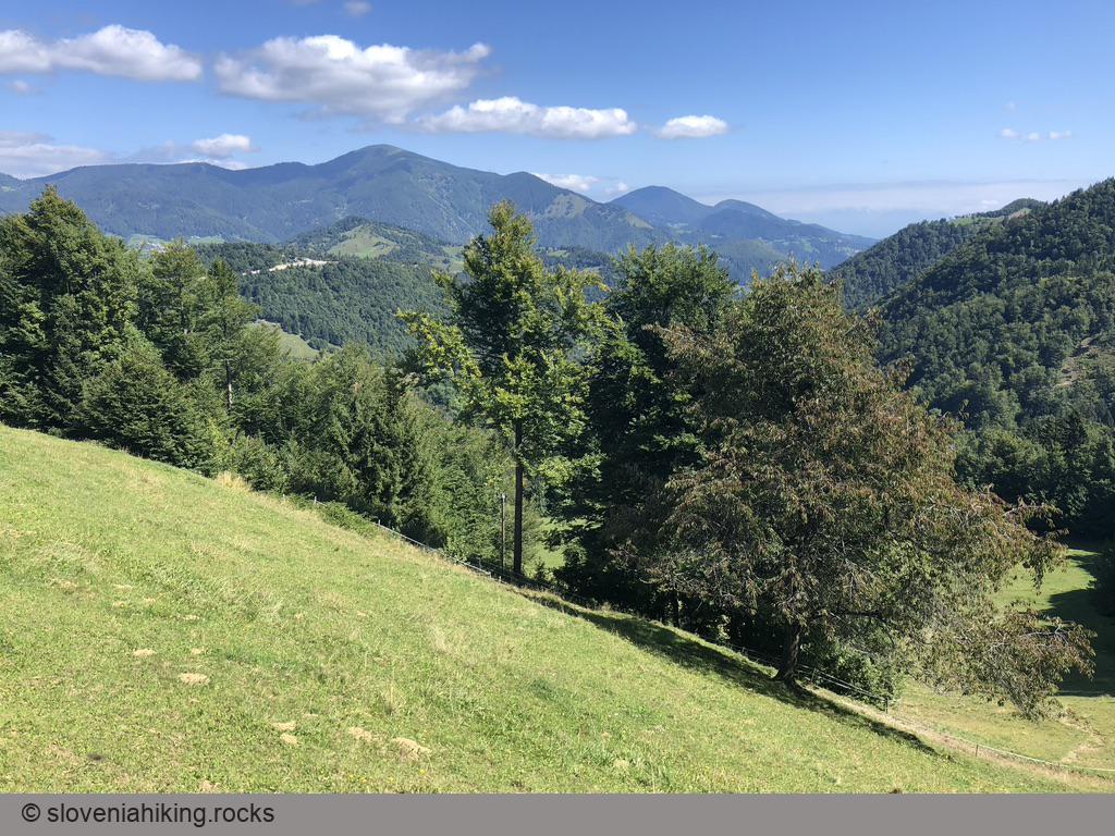
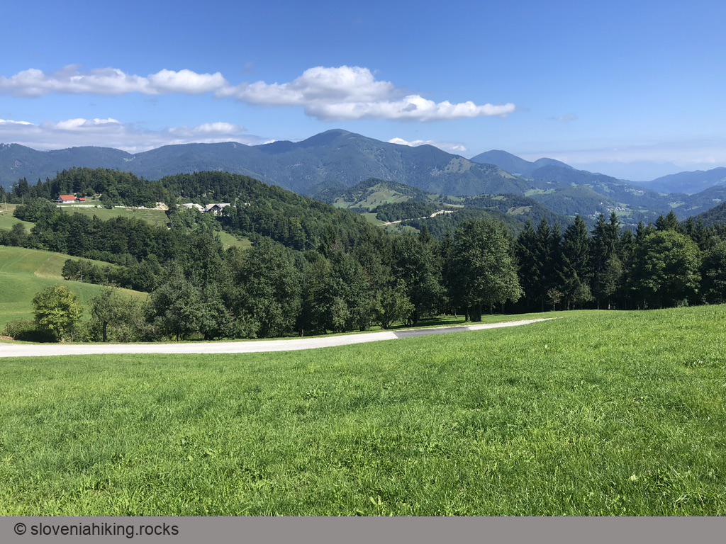
Take a trip from Trebija to the mountain hut on Ermanovec if you happen to be in Poljanska Valley with a bike – the views (once you get out of the forest) are well worth the effort.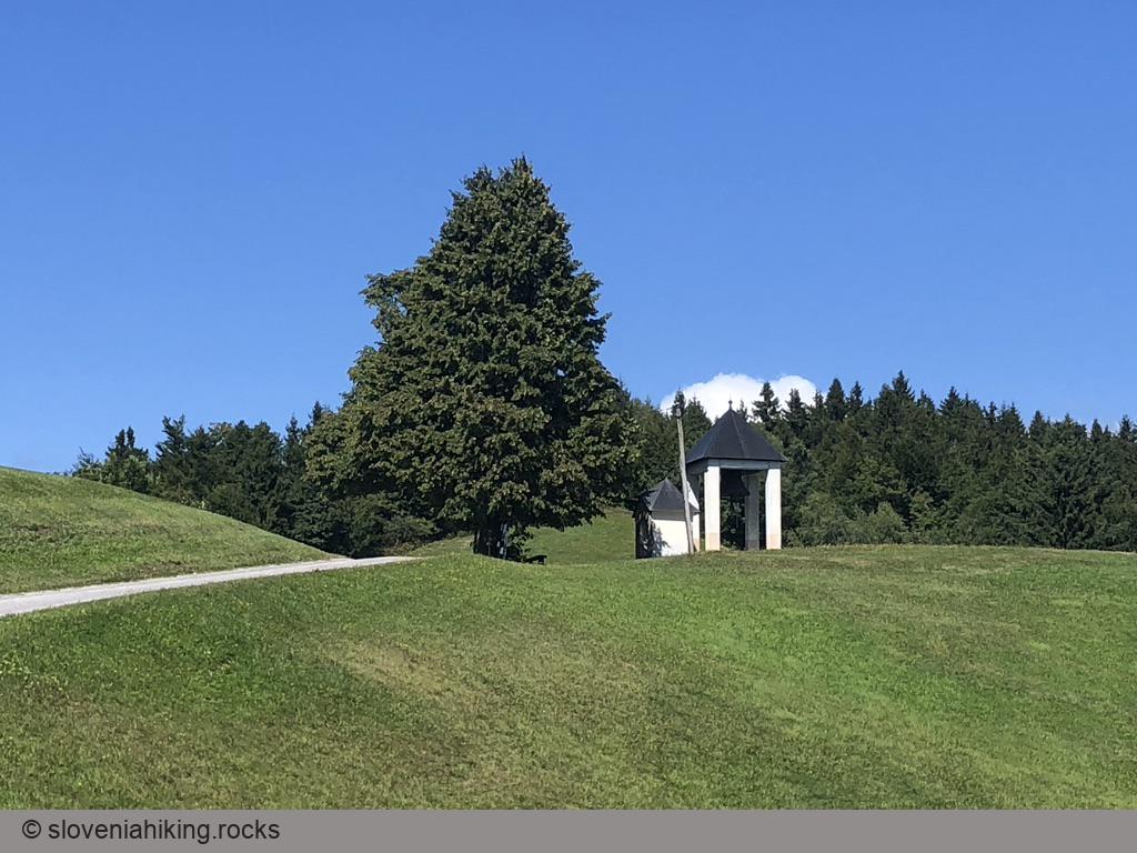
At a Glance
- Difficulty
- Occasionally steep asphalt road
- Altitude
- 969 m
- Average time
- 2 h
- Elevation gain
- 530 m
- Distance
- 15.3 km
- Coordinates
-
Start: 46.095709,14.100284
Notes
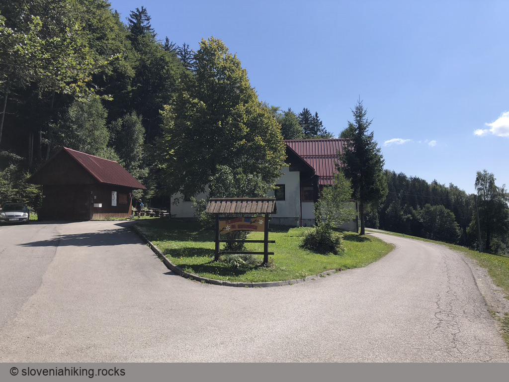
- I left the car in front of the Marko Polo pub after getting a permission from the waitress. I also promised to drop by on the way back and got rewarded with a decent lunch.
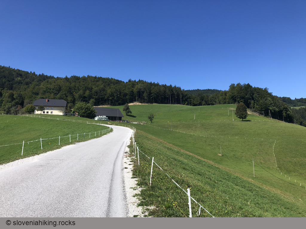
- From the parking lot, turn left (toward Škofja Loka), take another left turn into the village, and another one following signs for Stara Oselica.
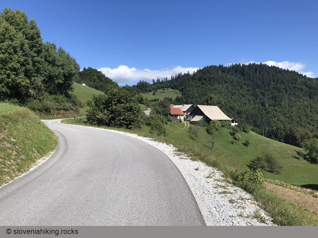
- Stay on the main asphalt road following signs for Ermanovec until you get to a saddle with a T-junction.
- The signs for Ermanovec send you left (again).
- After reaching another saddle with a small chapel housing a large bell, turn right toward Ermanovec mountain hut.
Further Suggestions
- A dirt road toward the peak starts at the last saddle. All I needed was a quick look at how steep it is to realize I need an alternate destination (= the mountain hut).
- If you don’t mind biking on narrow roads with significant traffic, follow the signs toward Sovodenj on the way down. From Sovodenj, use the Cerkno–Škofja Loka main road to get back to Trebija.
Map of the Route
The map shows the path we took as recorded by the GPS receiver. Never trust a GPS track wholeheartedly; rely on your senses and maps.