Biking in Slovenia » Gorenjska » Mrzli Vrh from Žiri
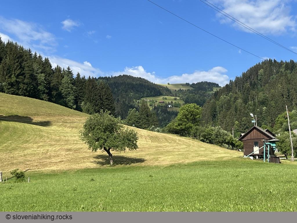
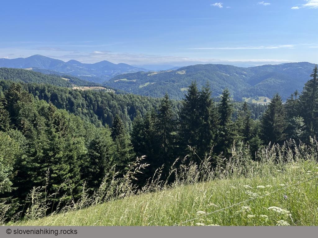
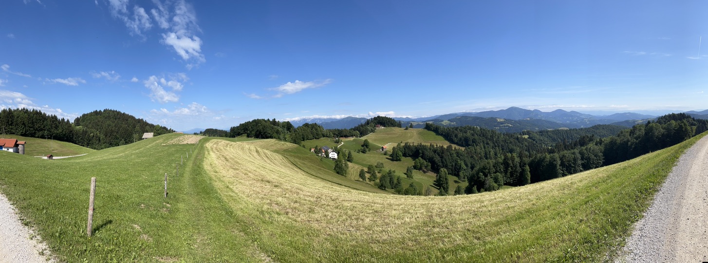
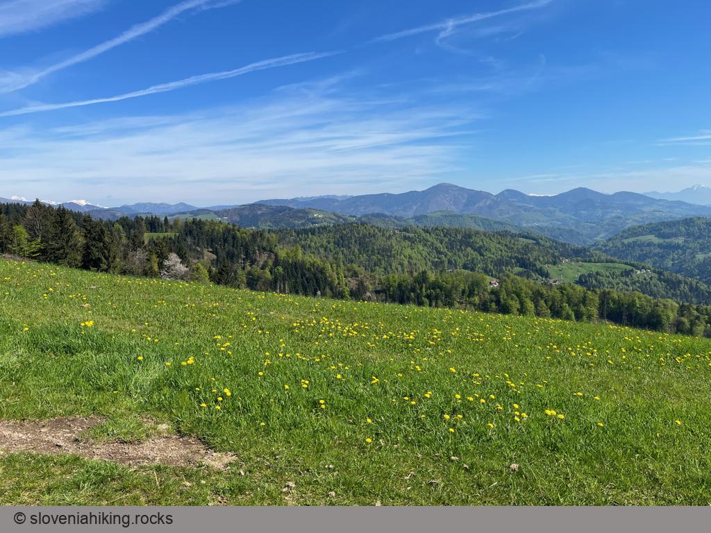
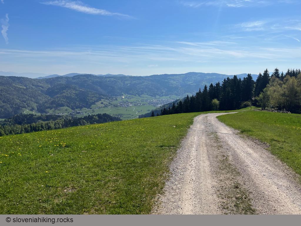
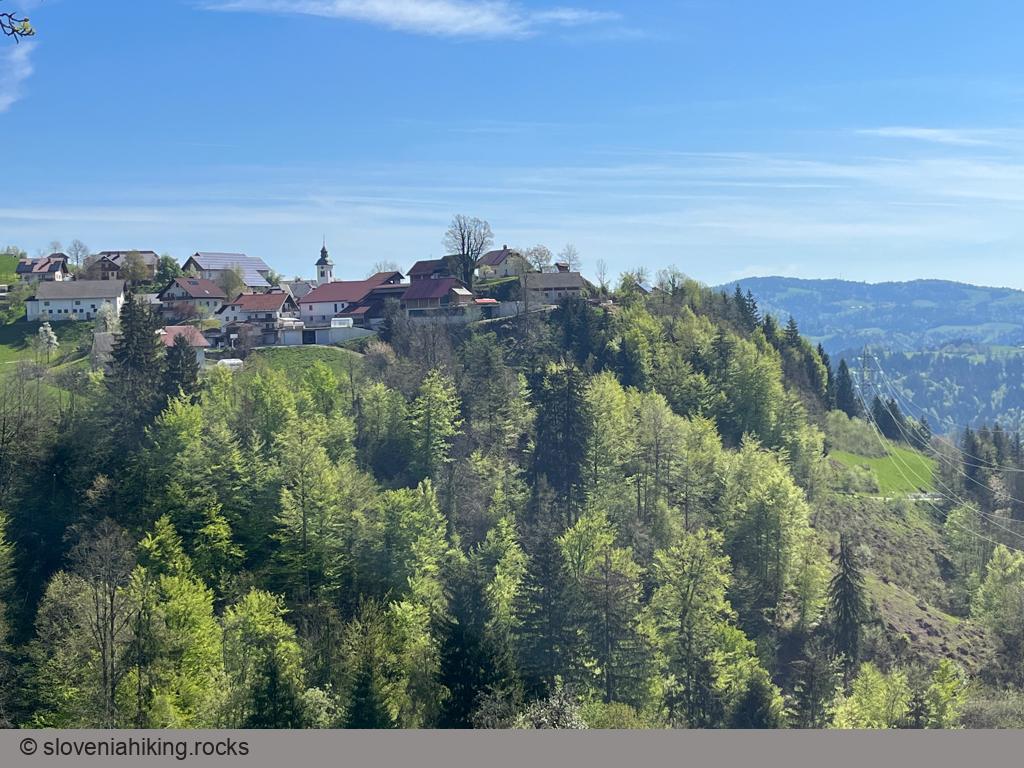
Mrzli Vrh (Cold Peak) is a beautiful vista point high above Žiri, well worth the effort you’ll spend hiking or biking there – you’ll enjoy the views of Škofja Loka hills, Idrija hills, and the Julian Alps.
At a Glance
- Difficulty
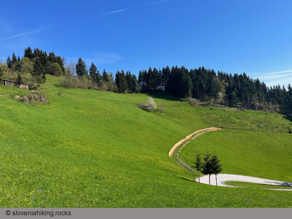
- Steep ascent on a mix of asphalt and gravel roads
- Altitude
- 987 m
- Average time
- 2 h
- Elevation gain
- 510 m
- Distance
- 10.5 km
- Coordinates
-
Start: 46.055189,14.099316
Getting There
- We’ll start in Ledinica, a hamlet at the edge of Žiri. There’s a tiny parking lot next to the river, or you could park in one of the larger lots in the industrial part of Žiri.
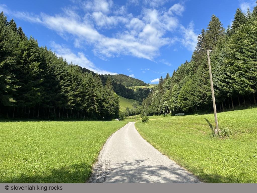
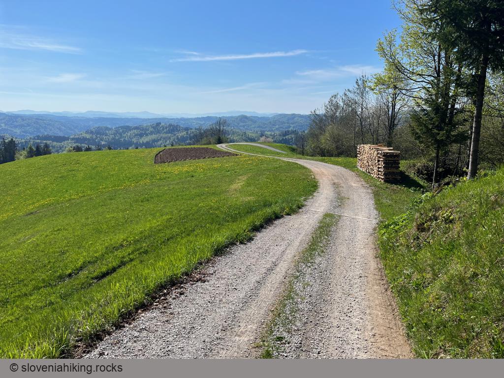
- Follow the road passing between the houses of Ledinica, then follow the signs for Mrzli Vrh. Whenever in doubt, stay on the main road.
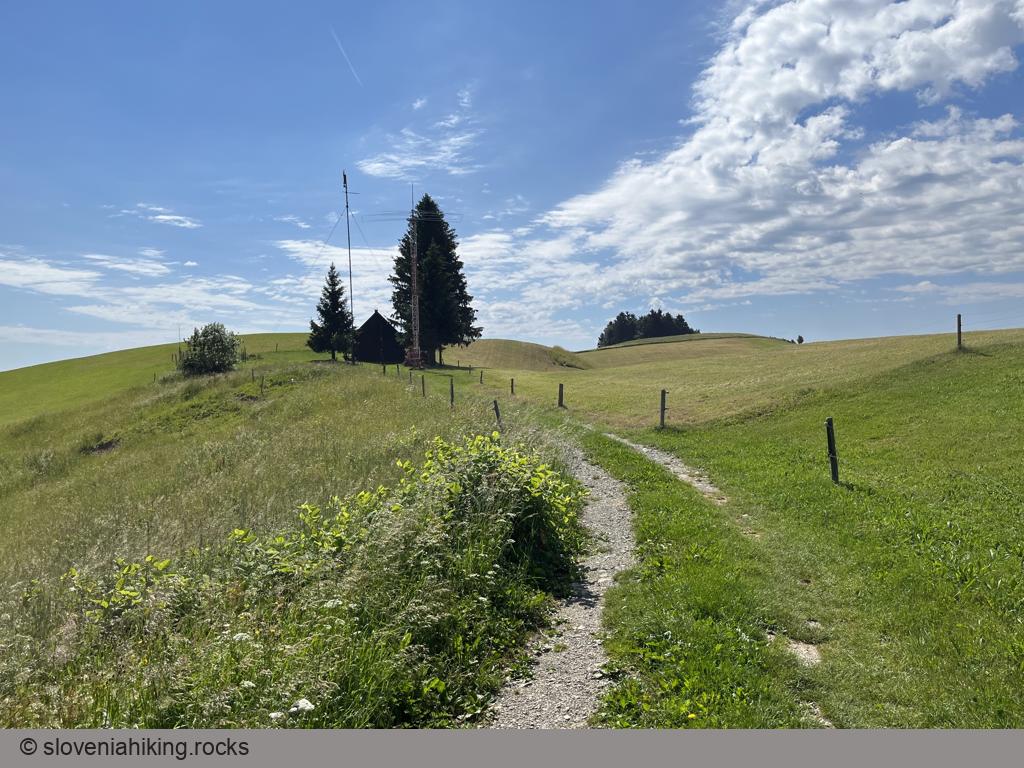
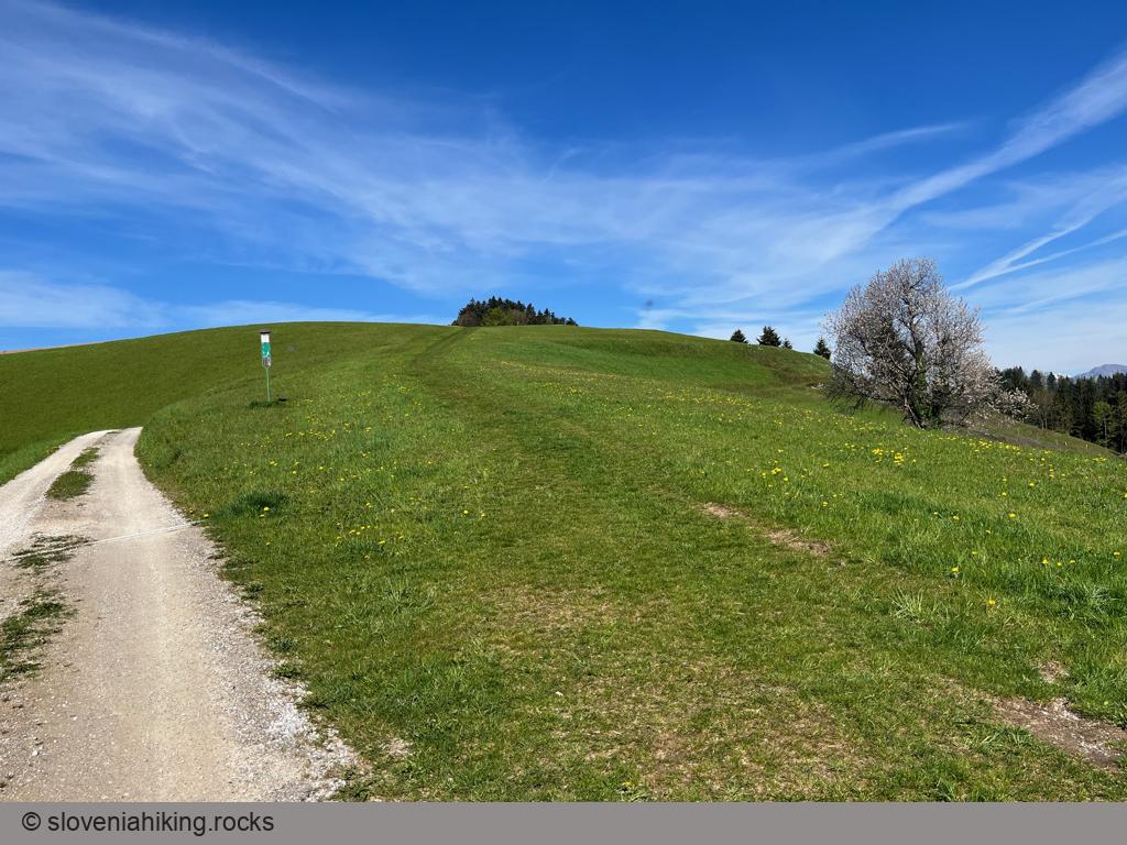
- When you reach the saddle on the Mrzli Vrh ridge, turn sharp left onto a dirt road leading toward an amateur radio hut (you can’t miss the gigantic antennae they use). Pass it, and stop a bit later at a lovely bench – a perfect spot to have a break and enjoy the views.
Use the same road to get back, or take a left turn at Kmetija Brce (Brce farm) onto a very steep gravel road that will take you straight to Ledinica.
Want more?
- If you have a mountain bike, try following the hiking trail toward Breznica.
- There’s also an asphalt road to Breznica via Ledine and Ledinske Krnice, and a gravel road through Korita.
Korita and Breznica
It’s well worth taking the longer descent through Korea and Breznica; the views along the trail marvelous.
- From the saddle, go south keeping to the leftmost asphalt road until you reach a roadside chapel. Take a break and enjoy the view.
- After another ~200m turn sharp left onto a narrow asphalt road that eventually becomes a dirt road.
- After a hairpin turn around a house, stay on the right (wider) trail to get to Korita.
- Descend through the hamlet and turn left after the last house onto the road toward Breznica.
- Just before Breznica turn right onto a road descending toward Žiri.
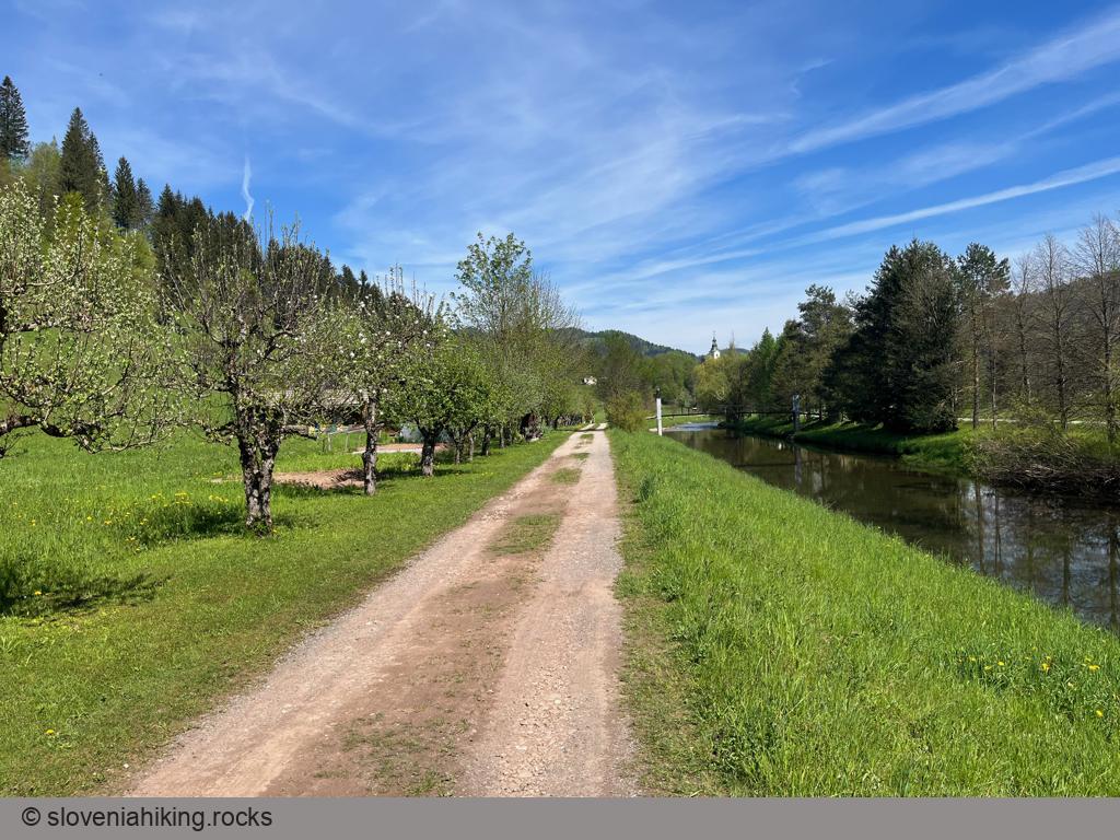
- In Žiri, turn left (just before the bridge) onto a wide footpath running along the Sora river and follow it until you get back to your car.
Map of the Route
The map shows the path we took as recorded by the GPS receiver. Never trust a GPS track wholeheartedly; rely on your senses and maps.
