Biking in Slovenia » Notranjska » Vrhnika – Zaplana – Star Maln
If you happen to be in Vrhnika, take a mountain bike and explore the hills above the town. One of the shorter tours takes you to Kuren, Zaplana, Strmca, Star Maln and back to Vrhnika.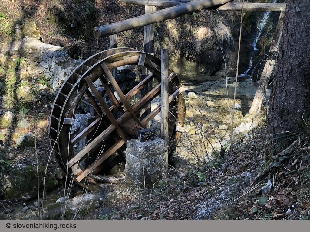
At a Glance
- Difficulty
- Easy tour on a mix of asphalt and gravel roads
- Altitude
- 691 m
- Average time
- 2 h
- Elevation gain
- 420 m
- Distance
- 19.2 km
- Coordinates
-
Start: 45.963816,14.275521
Where to Start
- There are tons of parking opportunities along the path – in Vrhnika, at the start of the footpath to Planina (where I started), near Kuren, at the church in Zaplana, or at Star Maln.
- The tour is a bit easier when done in the counter-clockwise direction.
Navigation Tips
- To get to Stara Vrhnika, turn left just before the football field, and then immediately turn right.
- In the center of Stara Vrhnika (next to the chapel) go straight, and then immediately turn left.
- Follow the signs for Star Maln throughout Strmca.
Places to Visit
- Mountain hut at Planina (marked Špica on the map) – Vrhniški štruklji are delicious. I skipped it because I try to avoid the usual weekend crowds. To get there, turn left onto a gravel road at the end of the ascent from Stara Vrhnika toward Zaplana instead of following the asphalt road toward Zaplana.
Other Field-tested Pit Stops
Map of the Route
The map shows the path we took as recorded by the GPS receiver. Never trust a GPS track wholeheartedly; rely on your senses and maps.
