Biking in Slovenia » Notranjska » From Zaplana to Rovte
This circuitous tour will take you around western part of Rovte hills. Stop at the highest point and enjoy the view of Julian Alps with Triglav.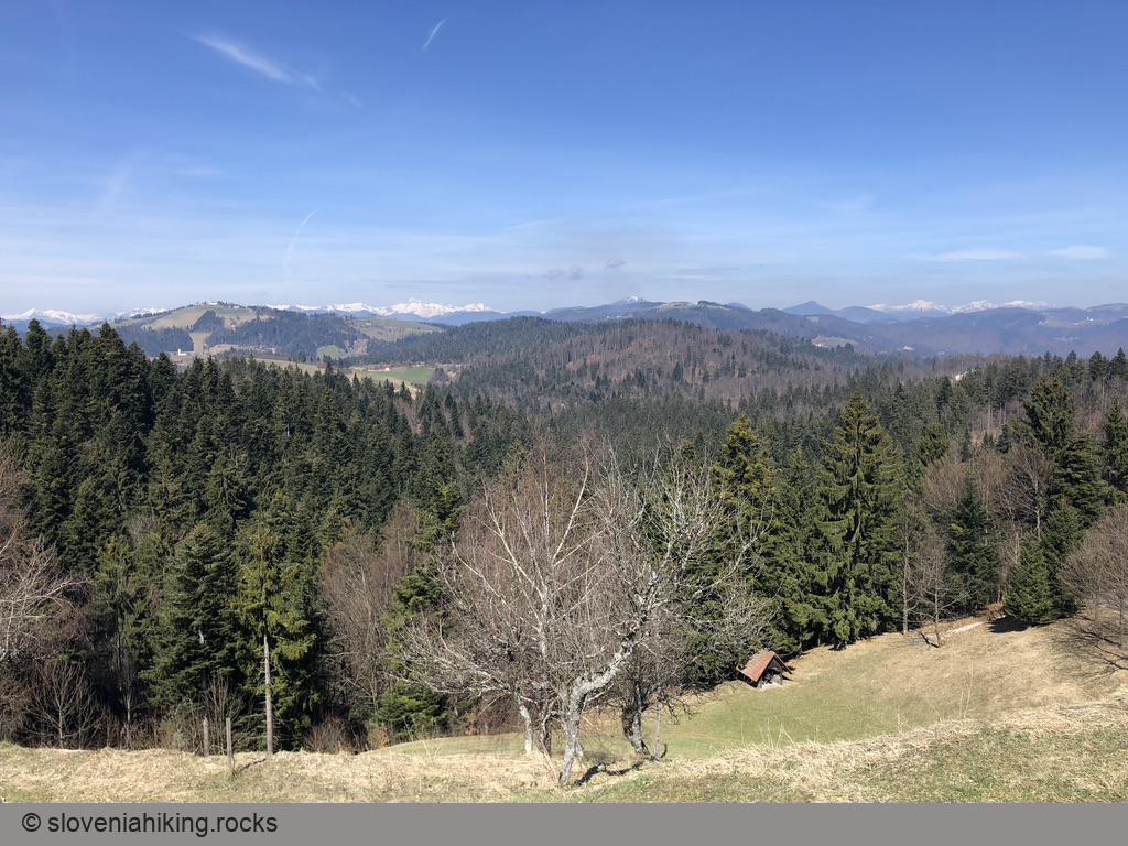
At a Glance
- Difficulty
- Easy tour on a mix of asphalt and gravel roads
- Altitude
- 730 m
- Average time
- 2 h
- Elevation gain
- 470 m
- Distance
- 22.2 km
- Coordinates
-
Start: 45.970595,14.235152
Notes
- Park next to the church in Zaplana, or at Gostilna Mesec (after having a coffee, enjoying their strudel, and asking for their permission).
- The tour is somewhat harder in clockwise direction due to steep ascent toward Petkovec.
- For a longer version of this tour, start in Vrhnika.
Map of the Route
The map shows the path we took as recorded by the GPS receiver. Never trust a GPS track wholeheartedly; rely on your senses and maps.