Hiking in Slovenia » Slovene Istria » Kojnik
Kojnik is a wooded hilltop south of Slavnik with an excellent view of Slavnik and Golič ridges. You might want to go there when you see hordes going to the vastly more popular Slavnik; it might also be a lovely destination for a longer family hike.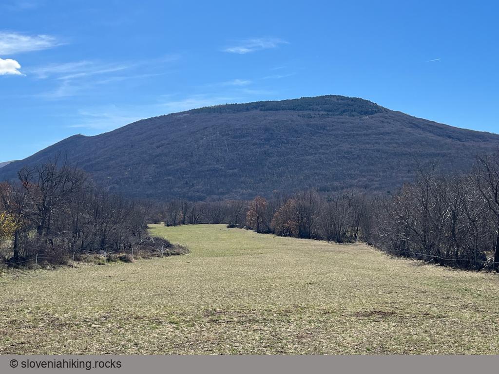
At a Glance
- Difficulty
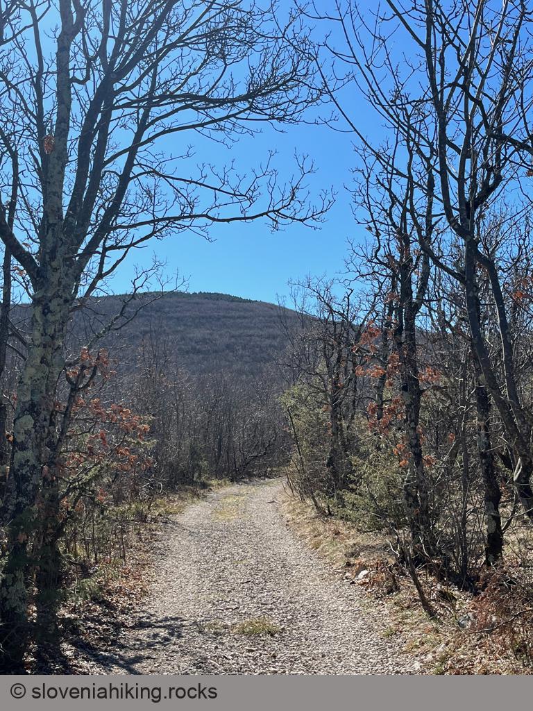
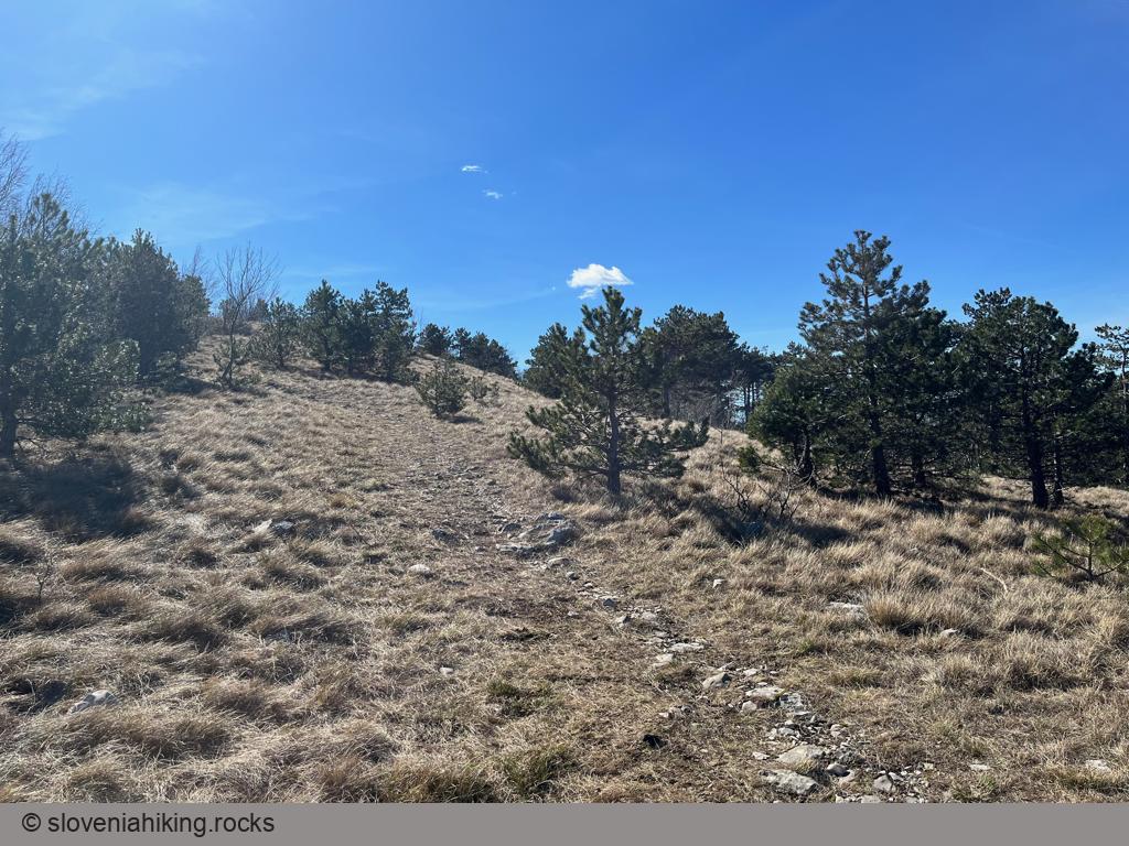
- A pleasant mix of gravel roads and somewhat steep footpaths
- Altitude
- 802 m
- Average time
-
Ascent: 1 hour
Descent: 45 minutes
Total: 2 hours
- Elevation gain
- 290 m
- Starting point
- Podgorje
- Coordinates
-
Start: 45.531420,13.947151
Peak: 45.506877,13.951764
Getting There
- Park at the large parking lot in Podgorje.
- Returning to the main road, follow the sign for Slavnik, then the one for Kojnik, which sends you right onto a gravel road.
- After 1.5 km, the hiking signs point left onto a narrow gravel road. Follow that one until it ends in a Y-junction. Continue on the well-used right trail.
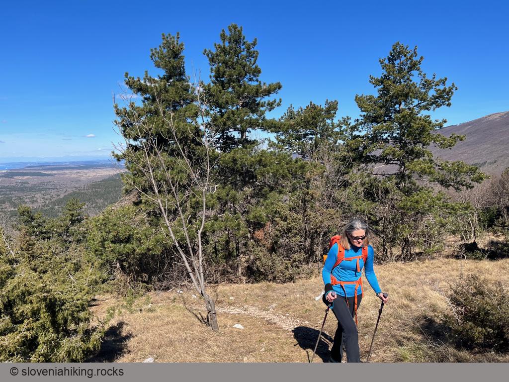
- At least a dozen old trails and footpaths crisscross the slopes of Kojnik. Carefully follow the waymarks and stay on the well-worn path.
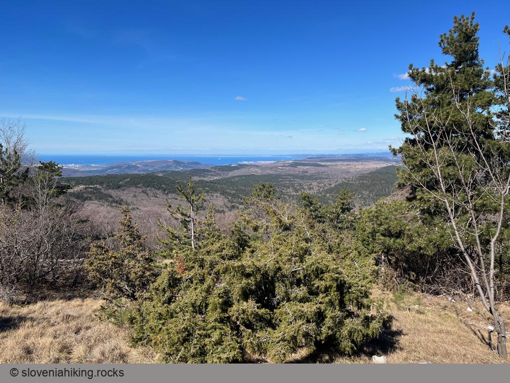
- When you reach a clearing, stop for a bit and turn around – the views of the Bay of Trieste are magnificent.
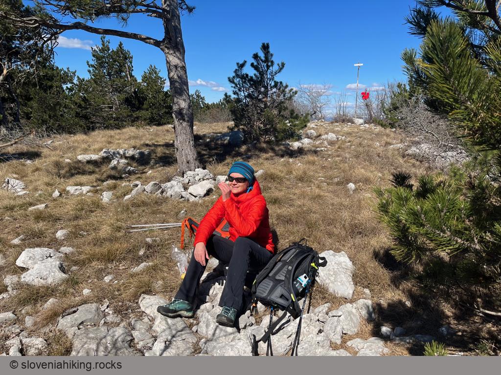
- The hilltop might be windy, but finding a warm spot a bit further south is easy. Enjoy the well-deserved break.
Return to Podgorje using the path you used to get to Kojnik, or take a detour toward Zazid and return to Podgorje on one of the gravel roads.
Views from the Top
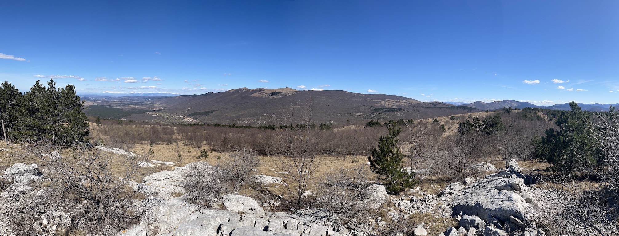
Photo Gallery
Map of the Route
The map shows the path we took as recorded by the GPS receiver. Never trust a GPS track wholeheartedly; rely on your senses and maps.