Hiking in Slovenia » Slovene Istria » Lipnik from Zazid
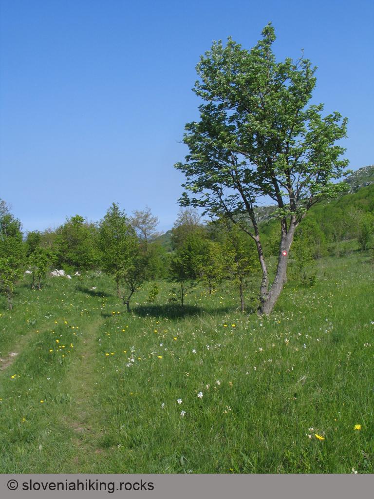
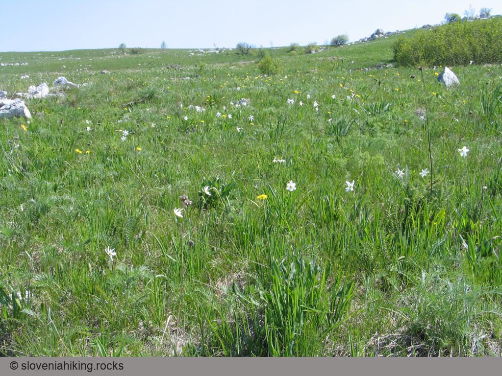
Lipnik is one of many barely noticeable peaks on Kraški Rob (Karst Edge), the border between limestone Karst plateau and flysch terrain of lower Istria. Hike there in early May and enjoy the wildflowers along the way.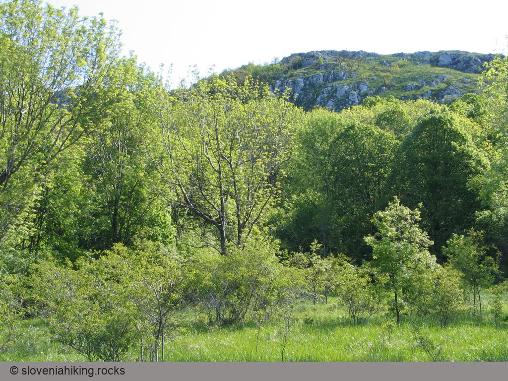
At a Glance
- Altitude
- 804 m
- Average time
- 4 h
- Elevation gain
- 420 m
- Coordinates
-
Start: 45.499389,13.931462
Peak: 45.479620,13.966214
In a Nutshell
- Park at the playground a bit above Zazid
- Return to Zazid and follow the signs and waymarks toward Lipnik along an asphalt (later gravel) road ascending toward Kraški Rob (edge of Karst plateau).
- After the railroad tracks turn right onto a dirt track leading into the forest.

- Keep right at the next fork (direction Lipnik) and left on most subsequent forks (waymarks are pretty explicit).
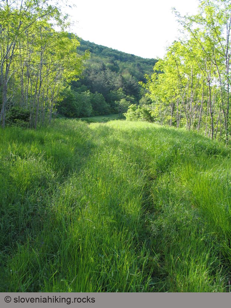
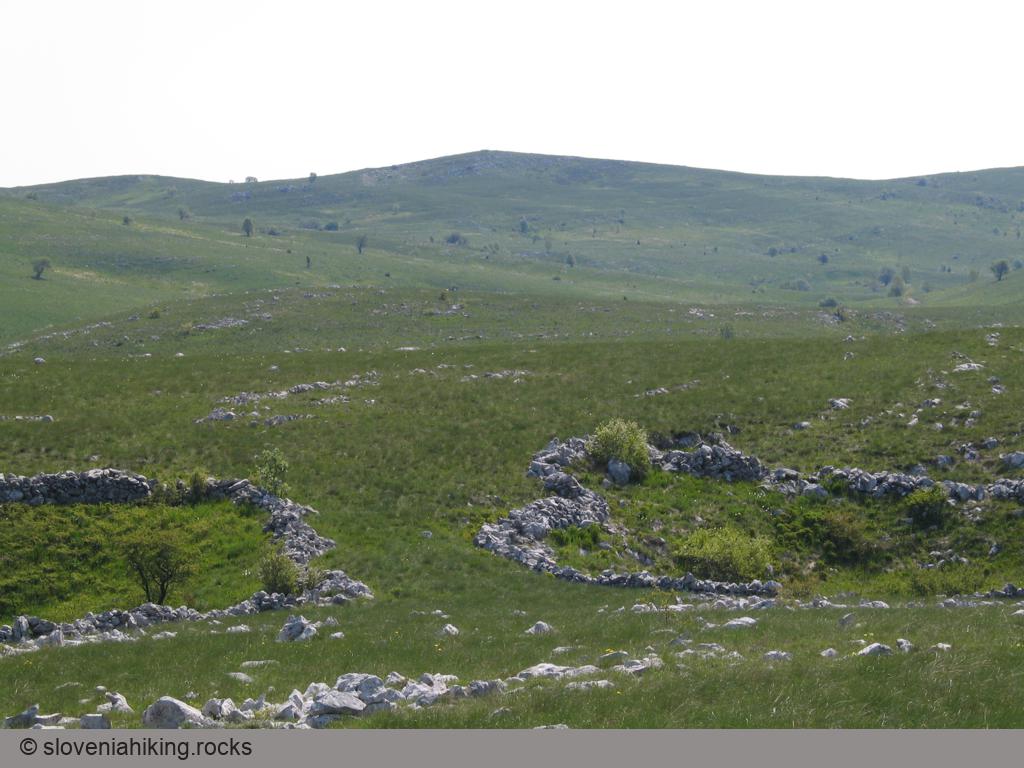
- The last ascent is a bit steeper and brings you to large meadows above Kraški Rob. Lipnik is just a short walk away (to the left).

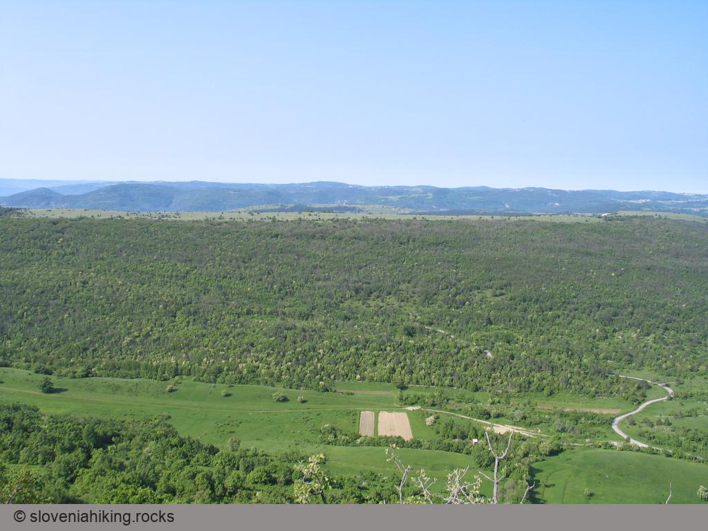
- Enjoy the view ;)

You could return to Zazid via Zalipnik (the valley north of Lipnik):
- Use the waymarks to reach the dirt road in the valley.
- Turn left and walk along the dirt road until you hit a descending dirt track going left. Use that one and you’ll arrive to the fork just above the railroad (see map).

Map of the Route


The map shows the path we took as recorded by the GPS receiver. Never trust a GPS track wholeheartedly; rely on your senses and maps.