Biking in Slovenia » Slovene Istria » Marezige – Šmarje – Vanganel
You’ll love biking through old Istrian villages high above Adriatic sea. Some of the vistas you’ll encounter are probably among the best ones you can get in Slovenian Istria.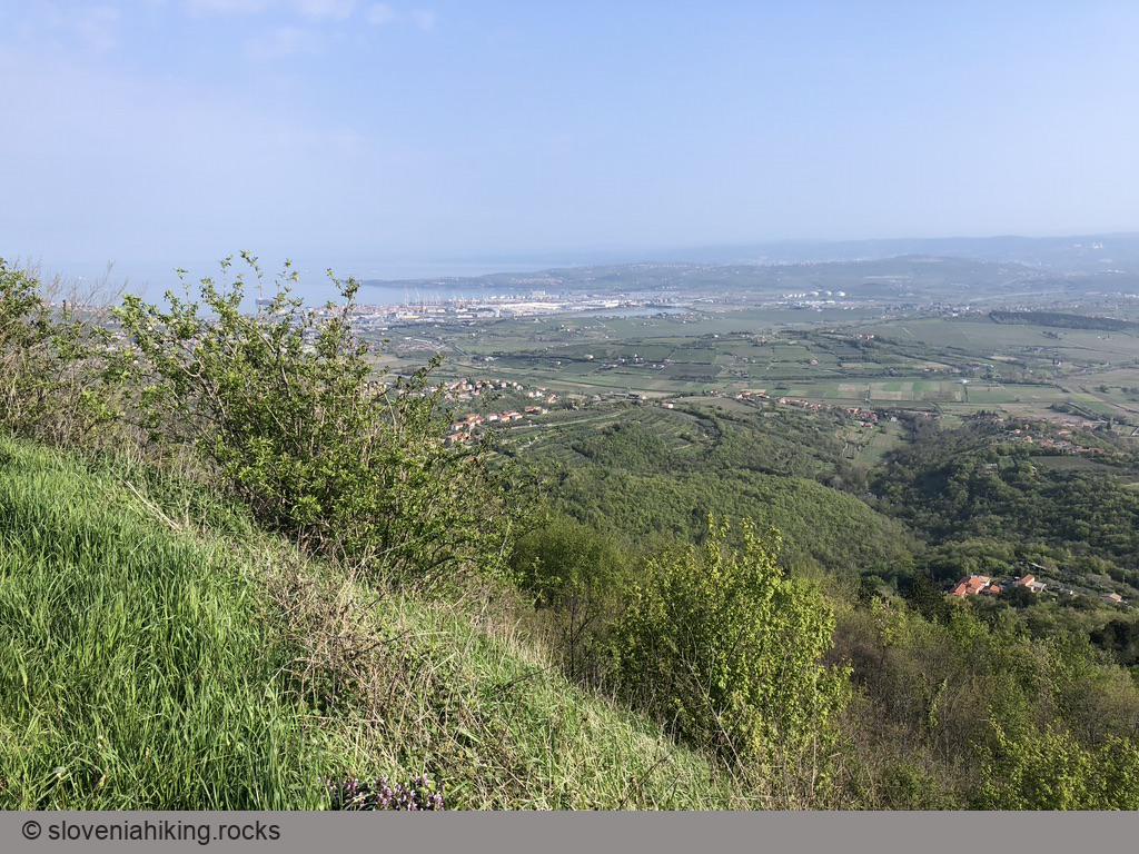
At a Glance
- Difficulty
- Asphalt roads. Somewhat steeper ascents around Pomjan and Montinjan.
- Altitude
- 391 m
- Average time
- 2 h
- Elevation gain
- 500 m
- Distance
- 18.9 km
- Coordinates
-
Start: 45.506836,13.798535
Notes
- I started in Marezige. It might be better to start in Koper, unless you truly enjoy an uphill struggle at the end.
- You could park in Marezige or close to the Koper – Vanganel main road (I’ve seen a parking sign at the junction toward Kampel).
- You really don’t want to hit the Šmarje – Koper main road, particularly not in high season. I took the side road toward Bošamarin and thus missed the village center… but I’ve been in Šmarje before.
- You should do some sightseeing in Šmarje (including visiting Santomas wine cellar), and either return to the road toward Bošamarin, or continue toward Gažon on the next ridge.
- To get to Bošamarin, take a sharp right turn just after you reach the main road Šmarje – Padna. There’s no sign toward Bošamarin.
- I used side roads to get to the Koper – Vanganel road. OpenCycleMap came handy.
- Use the cycling lane to get to Vanganel. You don’t want to experience close encounters with local racers.
- To get to Montinjan, take a left turn just before the roundabout in Vanganel. There’s a sign, but not visible from your direction (assuming you used the cycling lane till its very end).
Map of the Route
The map shows the path we took as recorded by the GPS receiver. Never trust a GPS track wholeheartedly; rely on your senses and maps.