Biking in Slovenia » Gorenjska » Betwixt Gorenjska and Primorska
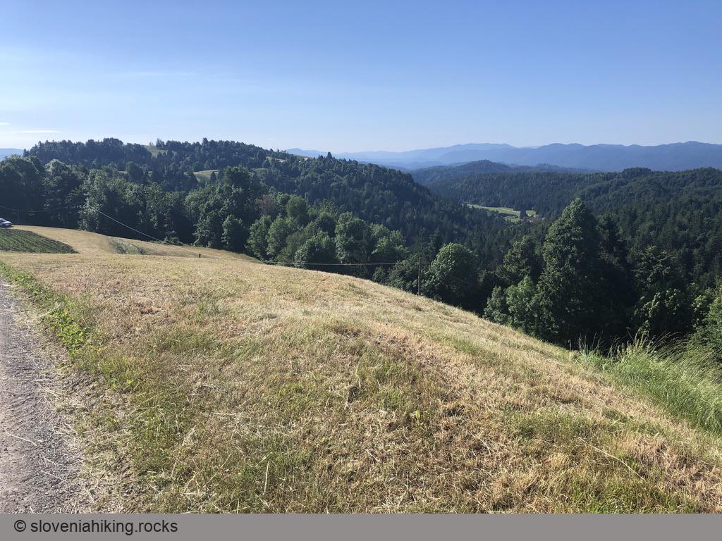
The eastern part of the boundary between Gorenjska and Primorska (two historical regions in western Slovenia) lies on Idrijca and Sora’s watershed. We’ll explore a picturesque ridge on that watershed with great views of Kamnik Alps, Julian Alps, and Idrija hills.
At a Glance
- Difficulty
- Occasionally steep asphalt roads
- Altitude
- 850 m
- Average time
- 2.5 h
- Elevation gain
- 440 m
- Distance
- 20.3 km
- Coordinates
-
Start: 46.000904,14.150434
Notes
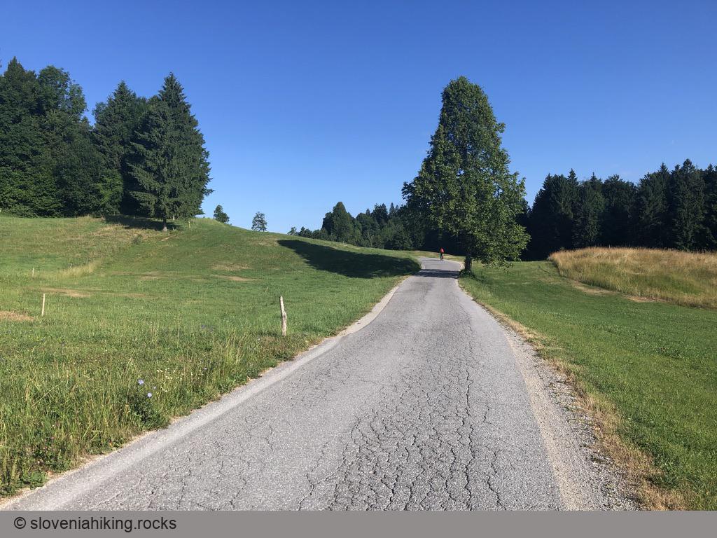
- We started in Sopovt, using the tiny parking spot at the start of the trail toward Vrh Svetih Treh Kraljev. You could start in Rovte or Žiri (see Alternatives).
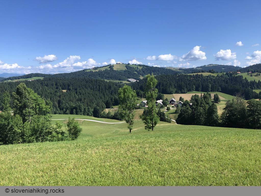
- You’ll reach the watershed at the top of the ascent through Zavratec – Primorska will be on your right (south), Gorenjska on your left (north).
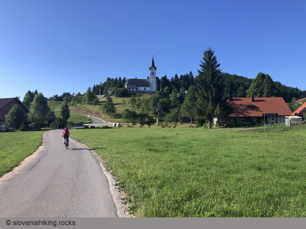
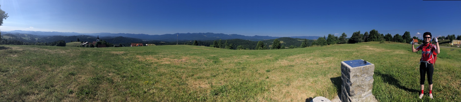
- The view from Šinkovčev grič in Medvedje Brdo is phenomenal and well worth the extra effort to get there.
- Somewhere around that point, you’ll be in the tri-region area – the boundary between Gorenjska and Notranjska is the watershed between Sora and Ljubljanica. You’ll be biking around that watershed until Rovte.
- Stop at Tavžentroža for a cup of decent coffee. Don’t expect too much if you like biking in the morning – they couldn’t deliver something as simple as apple strudel on a Saturday morning “because the kitchen starts working at 12 PM.”
- If you prefer to stay on asphalt roads, take the Logatec-Žiri main road to get back to the car instead of biking through Rovte (the last section along Sovra river is still a gravel road).
Alternatives
- You could start in Žiri and bike through Ledinsko Razpotje, Gore, and Dole.
- Instead of returning to Sopovt, continue toward Vrh Svetih Treh Kraljev (another steep ascent) and reach Sopovt via Hleviše.
Map of the Route
The map shows the path we took as recorded by the GPS receiver. Never trust a GPS track wholeheartedly; rely on your senses and maps.