Biking in Slovenia » Notranjska » Javorniki Ridge from Rakov Škocjan
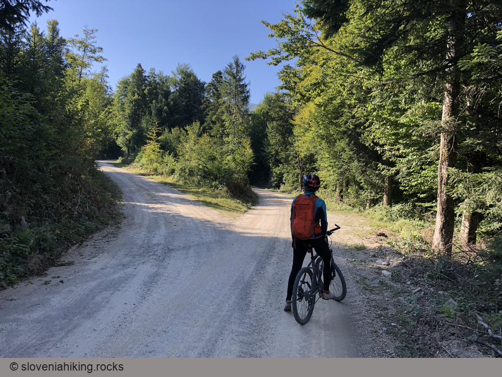
If you love biking on gravel roads through beech forests (autumn colors could be beautiful), the Javorniki ridge might be just what you’’re looking for.
For everyone else: the ascent is pretty steep, and there are no views. Try Slivnica.
At a Glance
- Difficulty
- Somewhat steep gravel roads
- Altitude
- 1215 m
- Average time
- 4 h
- Elevation gain
- 840 m
- Distance
- 33.8 km
- Coordinates
-
Start: 45.788481,14.297634
Notes
- There are numerous parking opportunities in Rakov Škocjan. We usually park across the road from the hotel (see: starting coordinates).
- The area is crisscrossed with gravel- and logging roads, and we found no usable road signs. I used OpenCycleMap on ViewRanger to navigate (and even then, I got lost once).
- You could take the same path we did or explore on your own. Most roads will take you somewhere (although it might not be the place you’re looking for).
Map of the Route
The map shows the path we took as recorded by the GPS receiver. Never trust a GPS track wholeheartedly; rely on your senses and maps.