Biking in Slovenia » Primorska » Lokvarski (Šebreljski) Vrh
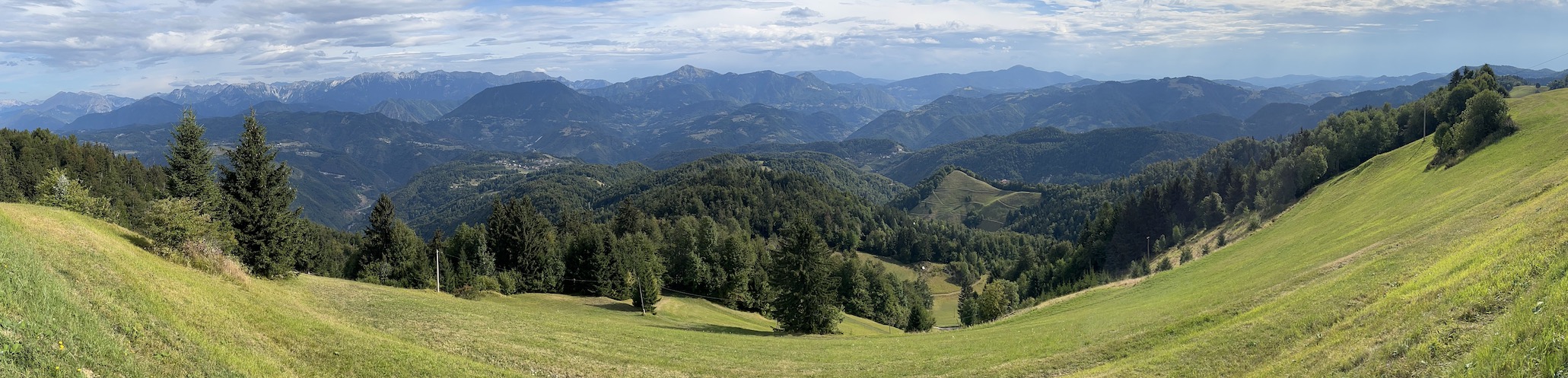
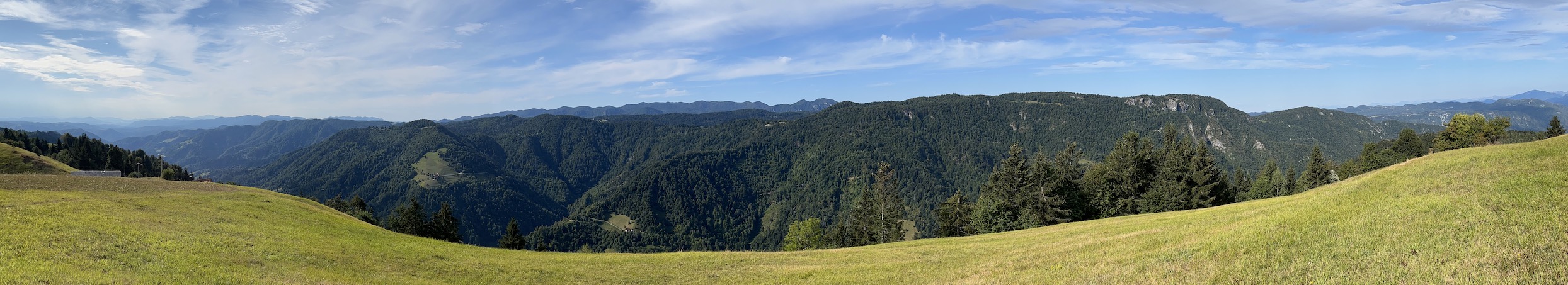
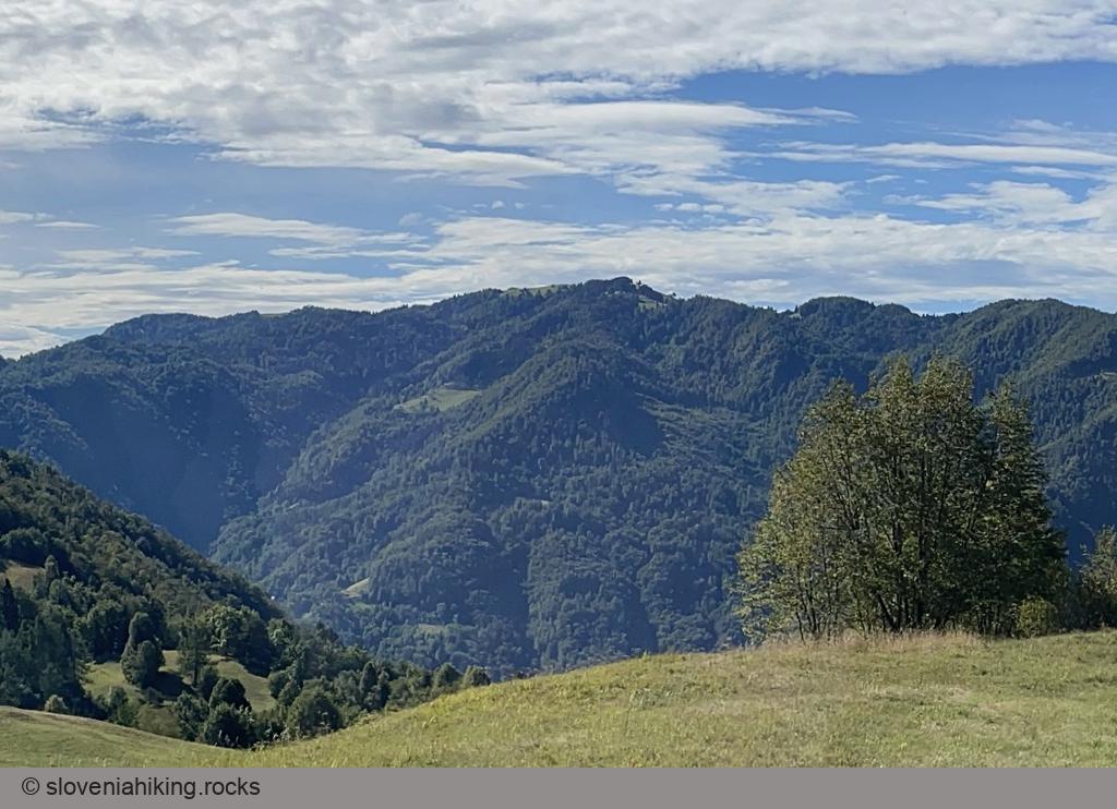
Lokvarski Vrh (also known as Vrhovec or Šebreljski Vrh)1 is one of the highest peaks on the ridge between Idrijca and Kanomlja valleys, with a phenomenal 360-degree panorama of the Julian Alps, Cerkno hills, Vojsko, and Trnovski Gozd. You can get there from Oblakov Vrh, Idrijske Krnice, or Šebrelje.
At a Glance
- Difficulty
- Steep mix of asphalt and gravel roads with a pleasant intermezzo above Šebrelje
- Altitude
- 1079 m
- Average time
- 3 h
- Elevation gain
- 850 m
- Distance
- 18 km
- Coordinates
-
Start: 46.119036,13.805734
Peak: 46.063586,13.910503
Getting There
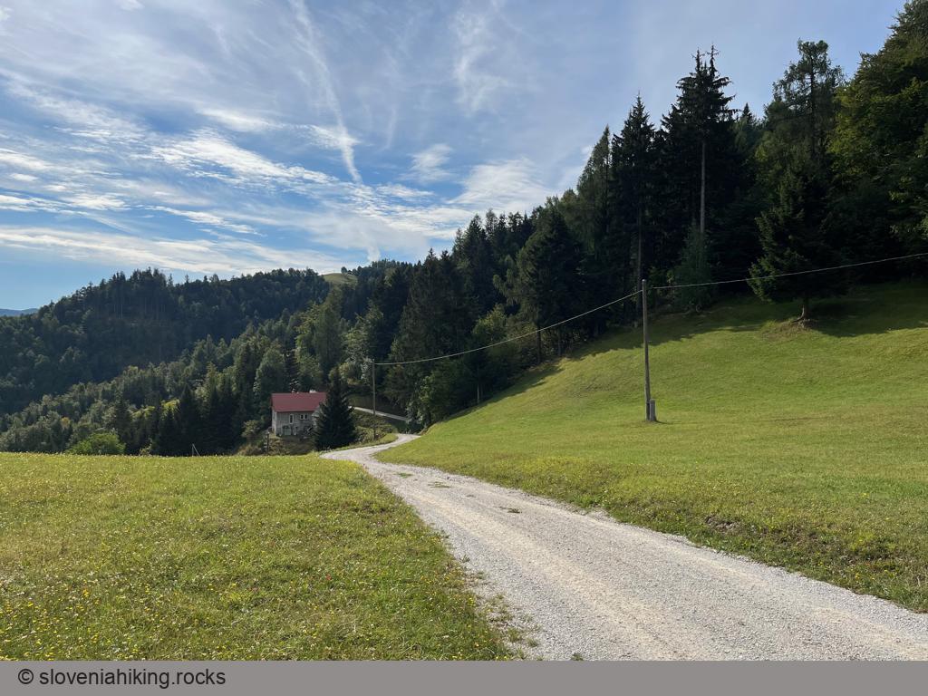
- Bike to Šebrelje.
- In the village, turn right, following signs for Oblakov Vrh.
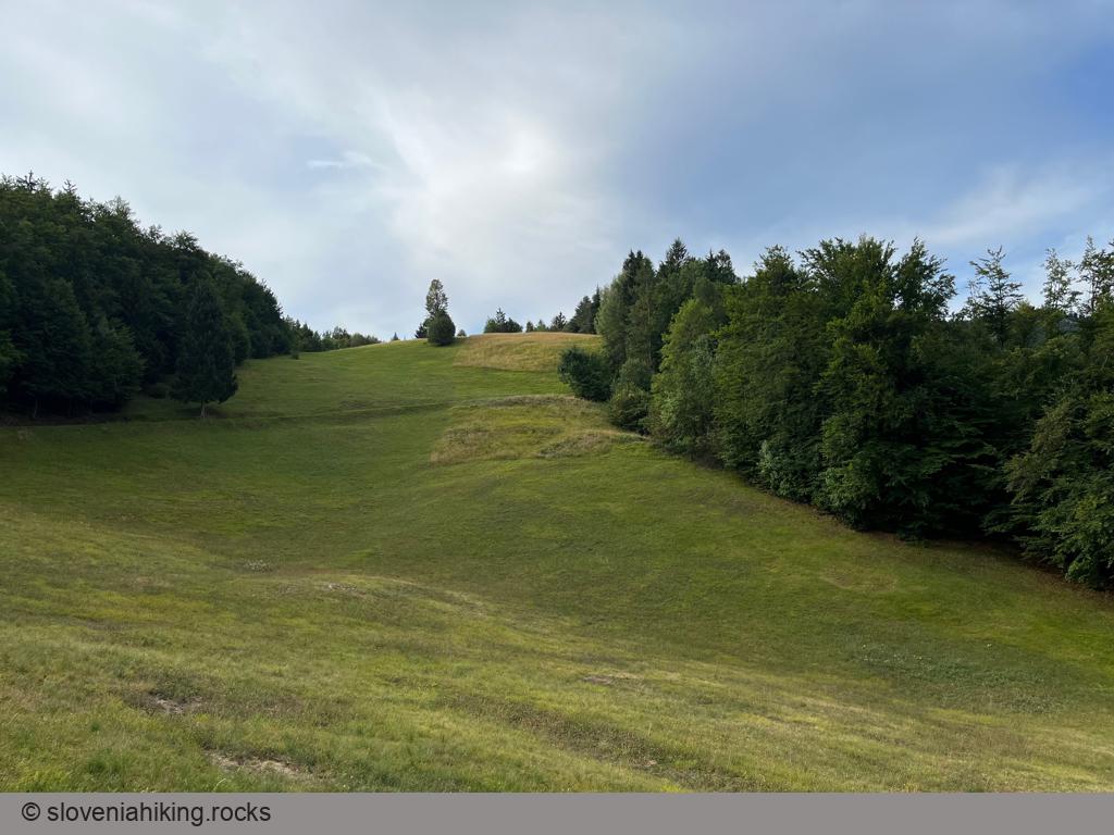
- Stay on the main asphalt road.
- The local supply of asphalt2 eventually ran out. Stay on the main ascending gravel road. Avoid forest roads (Gozdna Cesta).
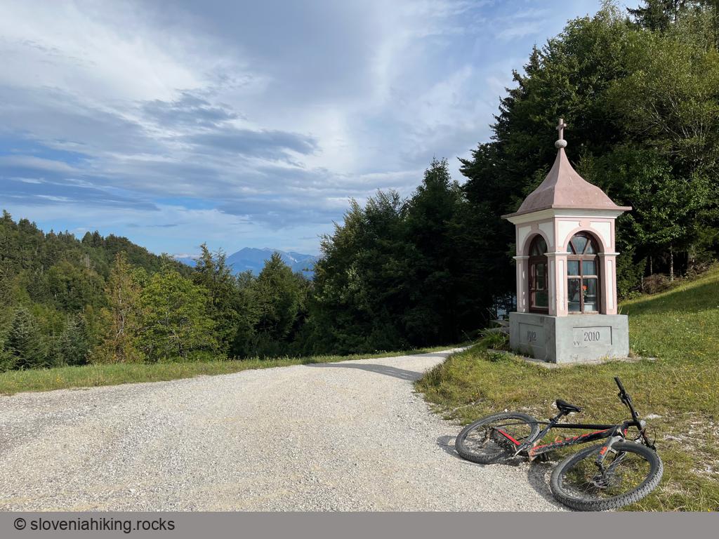
- After a long, disgustingly steep ascent, you’ll arrive at a T-junction with a small wayside chapel. You could hike to the top, or take the left gravel road, circle the hill, and get to the top across the other hillside.
If you decide to take a hike:
- Start on a dirt trail left of an old stone house.
- Keep on the right dirt trail until you get to a meadow from which you can see the large information tables at the top.
- A steep footpath going right will bring you to the destination.
- Enjoy the views ;)
-
The locals call this spot Lokvarski Vrh (based on the nearby Lokvar farm) and erected a wooden sign with that name. I have no idea where Vrhovec came from. The third name you might encounter is Šebreljski Vrh, which seems to be the name of the northern slopes of the peak. Regardless of the naming issues, the views are spectacular ;) ↩︎
-
Or the budget ;) ↩︎
Map of the Route
The map shows the path we took as recorded by the GPS receiver. Never trust a GPS track wholeheartedly; rely on your senses and maps.