Biking in Slovenia » Primorska » Oblakov Vrh from Dolenja Trebuša
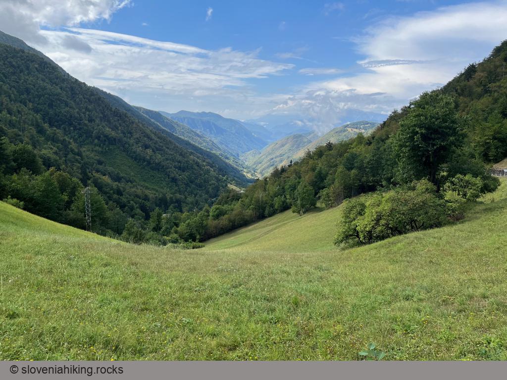
Oblakov Vrh (Cloudy Peak) is a saddle1 between Kanomlja and Hotenja valleys with a beautiful view of the Idrija Fault (both valleys resulted from that fault). We’ll bike to Oblakov Vrh from Dolenja Trebuša and enjoy a panoramic view of the Julian Alps on the way back.
At a Glance
- Difficulty
- A mix of asphalt and gravel roads
- Altitude
- 721 m
- Average time
- 3 h
- Elevation gain
- 600 m
- Distance
- 19 km
- Coordinates
-
Start: 46.094144,13.838676
Peak: 46.061757,13.890988
Getting There
- Park near the primary school in Dolenja Trebuša2
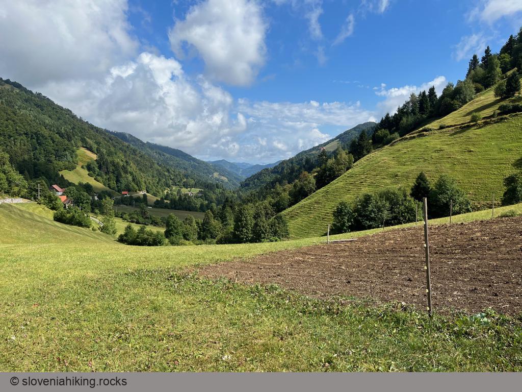
- Cross the stream (Hotenja), then turn left and follow signs for Oblakov Vrh. It will take you a bit more than an hour to get there.
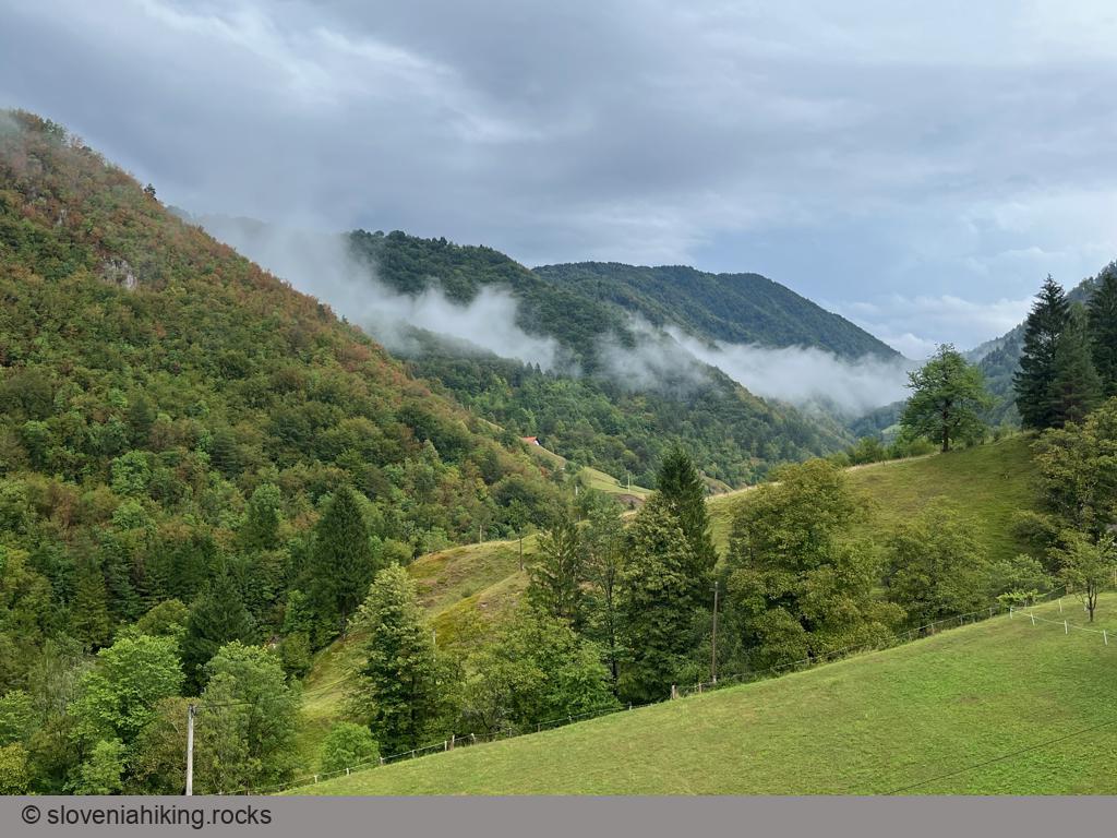
- On the way back, take a narrower, steeply ascending asphalt road on the first left hairpin.
- When you get to a fork, stop and enjoy the view. If you don’t have a mountain bike, turn around and use the main road to return to Dolenja Trebuša (the descent ahead of us is somewhat brutal).
- Still with me? Take the left road.
- The asphalt road will eventually turn into a well-maintained gravel road, cross another meadow, and start descending.
- Take a sharp left onto a narrower half-forgotten washed-out gravel road (I found a wooden sign for Trebuša).
- When you reach the valley, turn right and keep going straight until you return to Dolenja Trebuša.
Map of the Route
The map shows the path we took as recorded by the GPS receiver. Never trust a GPS track wholeheartedly; rely on your senses and maps.