Biking in Slovenia » Vipava Valley » Abram (Nanos) from Vrhpolje
Two roads lead from Sanabor (a hamlet on the western slopes of Nanos plateau) to Abram (one of the few still-active homesteads): a pleasantly cool gravel road along the Bela stream and a sunny asphalt road going straight from Sanabor to Abram.
At a Glance
- Difficulty
- A mix of somewhat steep asphalt and gravel roads
- Altitude
- 1015 m
- Average time
- 3.5 h
- Elevation gain
- 830 m
- Distance
- 22.9 km
- Coordinates
-
Start: 45.872902,13.972551
In summer, I take the gravel road on the way up and the asphalt road on the way down. This time I decided to enjoy whatever sun had to offer on a chill autumn morning (red track):
- I parked at Vipavska Bela climbing crag to avoid the boring part of the trip. You could park at the large parking lot in Vipava (adding almost 5 km and ~190 m elevation gain).
- Follow the road from Vipava to Col (via Vrhpolje) until you get to a left hairpin with a side road to Sanabor/Abram going right.
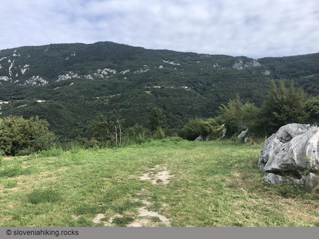
- Just before Sanabor, decide how hot you want to be: turn right (Sanabor/Abram – my choice) to follow the sunny asphalt road or left (Bela) to follow the stream into the forests.
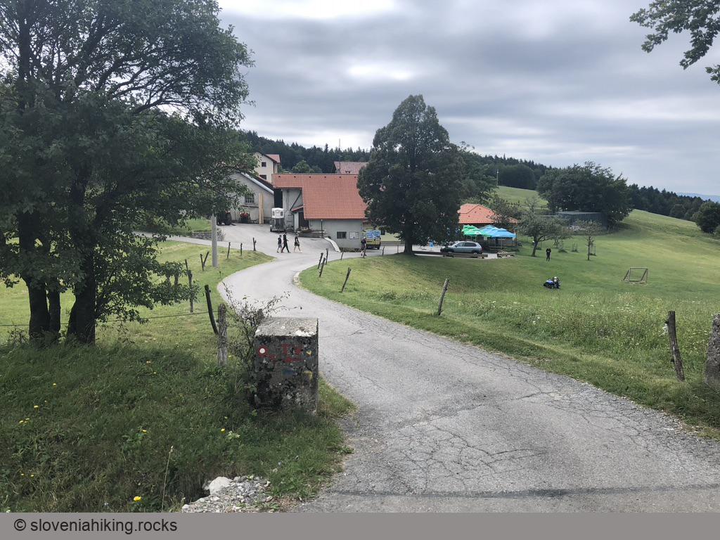
- Follow the asphalt road till you reach Abram.
Biking Through the Bela Valley
If you decide to follow the gravel road through the Bela Valley (green track):
- Turn left just before Sanabor (following signs for Bela)
- When you reach the Bela hamlet, keep to the right, bypassing the hamlet.
- The asphalt road turns into a gravel road after the last houses.
- Turn right (following signs for Nanos/Abram) at the next junction.
- Keep to the left at an unmarked junction, then follow signs for Nanos/Abram at the next junction.
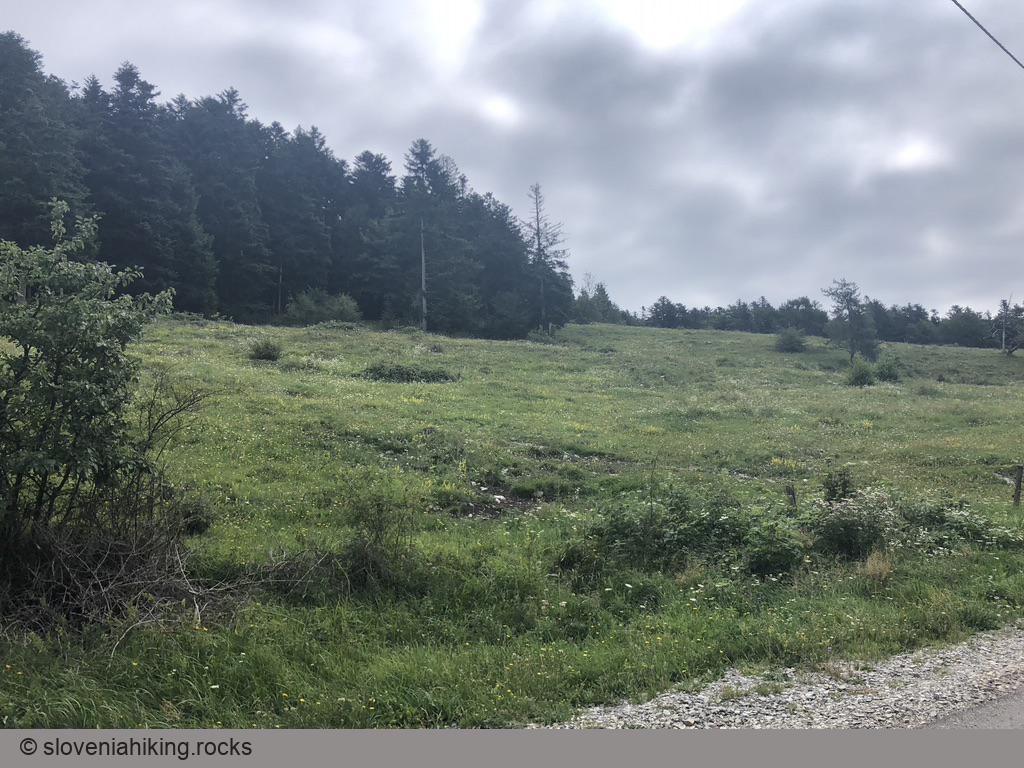
- Cross a clearing and continue onto the left (ascending) gravel road after a steeper asphalt section.
- Follow that road until you reach the asphalt road from Sanabor. Turn left to continue to Abram or right to return to the Vipava Valley.
The Nanos Glaciers
To set things straight: Nanos is way too low to have glaciers. What they call glaciers are ice caves where the locals mined ice in the spring/summer and transported it to Trieste from where it was exported all the way to Africa.
Fair warning: While the gravel roads are well-maintained, you’ll be entering pretty wild hard-to-orient terrain with plenty of forks, no mobile coverage, and useless signs. Download digital maps (OpenCycleMap works just fine) to your smartphone.
- From Abram, follow the signs for Pot ob Ledenikih (Glacier Way) onto a decent gravel road.
- At the next T-junction, turn left (there’s an ancient barely-readable right-pointing wooden arrow saying “Podnanos”).
- At the next major junction, a sign saying “Blažon” pointed straight on; I turned right (down).
- (Optional) Stop at the Veliki Vipavski Ledenik (Big Vipava Glacier) sign and explore the cave.
- Eventually, you’ll reach a large parking lot occasionally used by logging trucks. Follow the signs for Vipava, and in a few kilometers, you’ll get back to the Sanabor–Abram road.
Map of the Route
Legend
- red: the main track described on this page
- green: alternate path through the Bela valley
The map shows the path we took as recorded by the GPS receiver. Never trust a GPS track wholeheartedly; rely on your senses and maps.