Biking in Slovenia » Primorska » Vojsko from Čekovnik
Vojsko is a high, densely forested karst plateau with one of the highest-lying settlements in Slovenia. You could bike around the Vojsko and admire the people who made their living in that harsh environment for centuries or enjoy the views while biking to Vojsko from Idrija, Spodnja Idrija, Idrijska Bela, Gorenja Trebuša, or Čekovnik.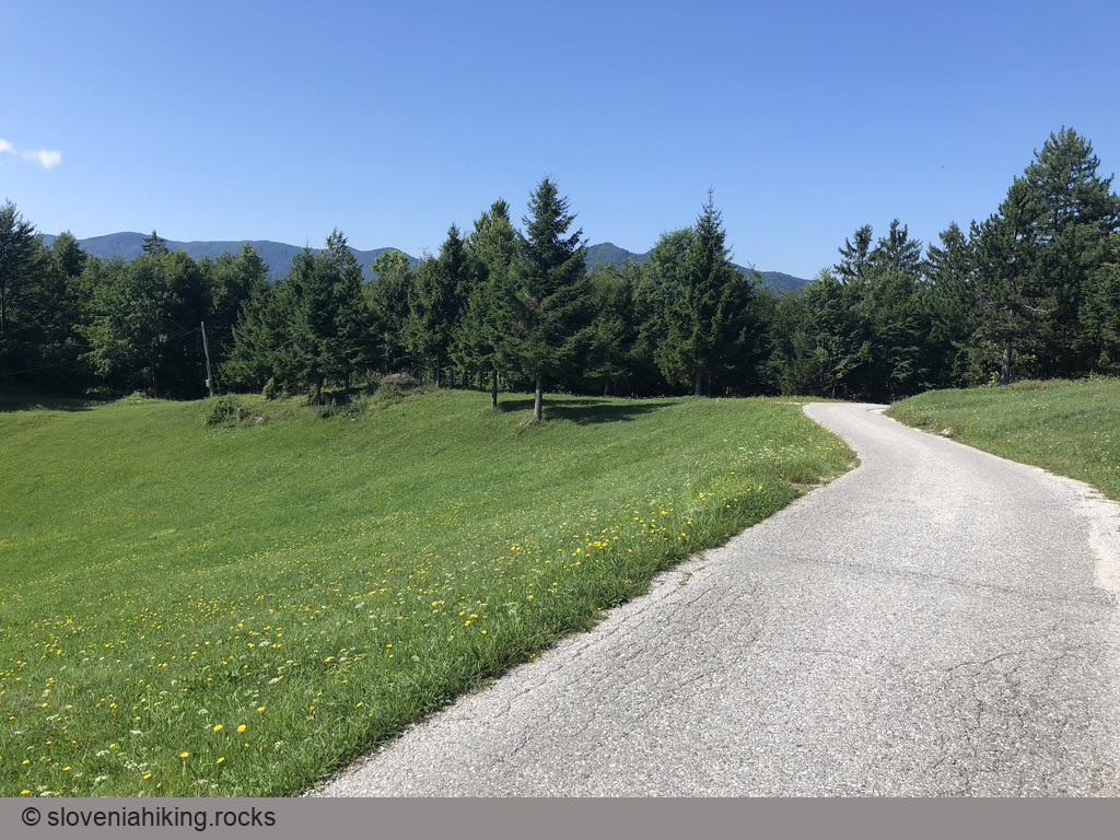
At a Glance
- Difficulty
- Moderately steep asphalt roads. Gravel road between Mrzla Rupa and Vojsko.
- Altitude
- 1108 m
- Average time
- 3 h
- Elevation gain
- 640 m
- Distance
- 24.1 km
- Coordinates
-
Start: 45.981987,13.973719
Vojsko from Čekovnik
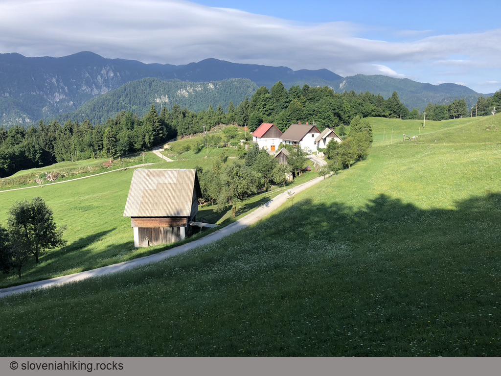
- I love Čekovnik, a village on the sunny southern slopes above upper Idrijca valley, but it’s hard to find a place to park somewhere along the road. We solved the problem by spending a few nights at Na Kupčku Estate (highly recommended)
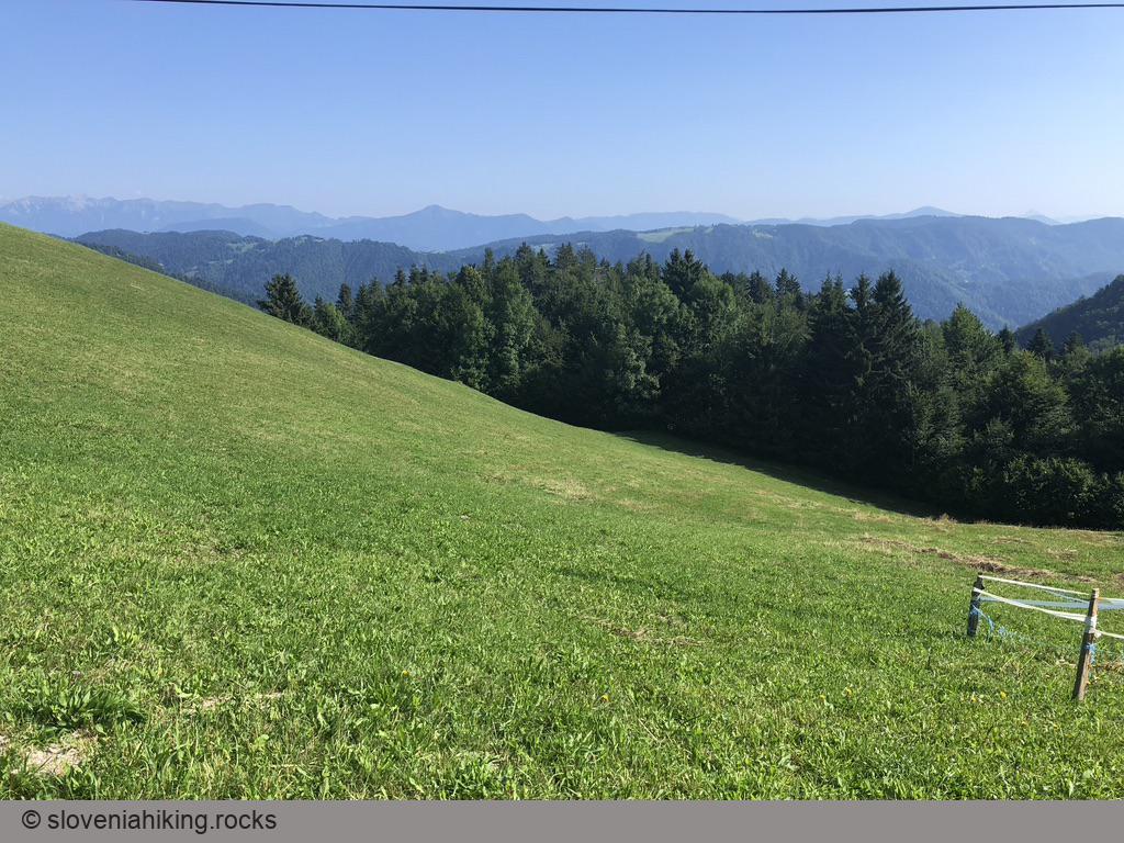
- As you probably arrived from Idrija, keep biking in the same direction, and admire the views of Idrijca valley and nearby farmhouses.
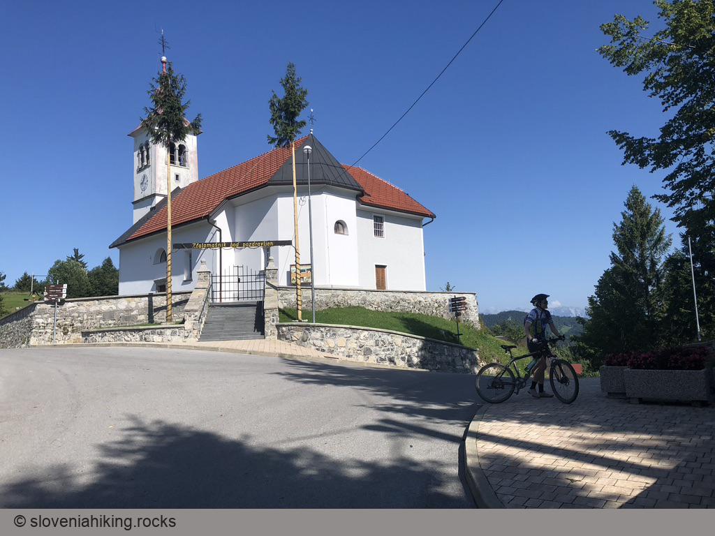
- Once you reach the Idrija-Vojsko road, turn left and enjoy a more gradual ascent toward the Saint Joseph church in Vojsko.
You could return the same way or make a short detour to Mrzla Rupa (a saddle between Vojsko and Trnovski Gozd):
- From the parish church, follow the signs for Gorenja Trebuša.
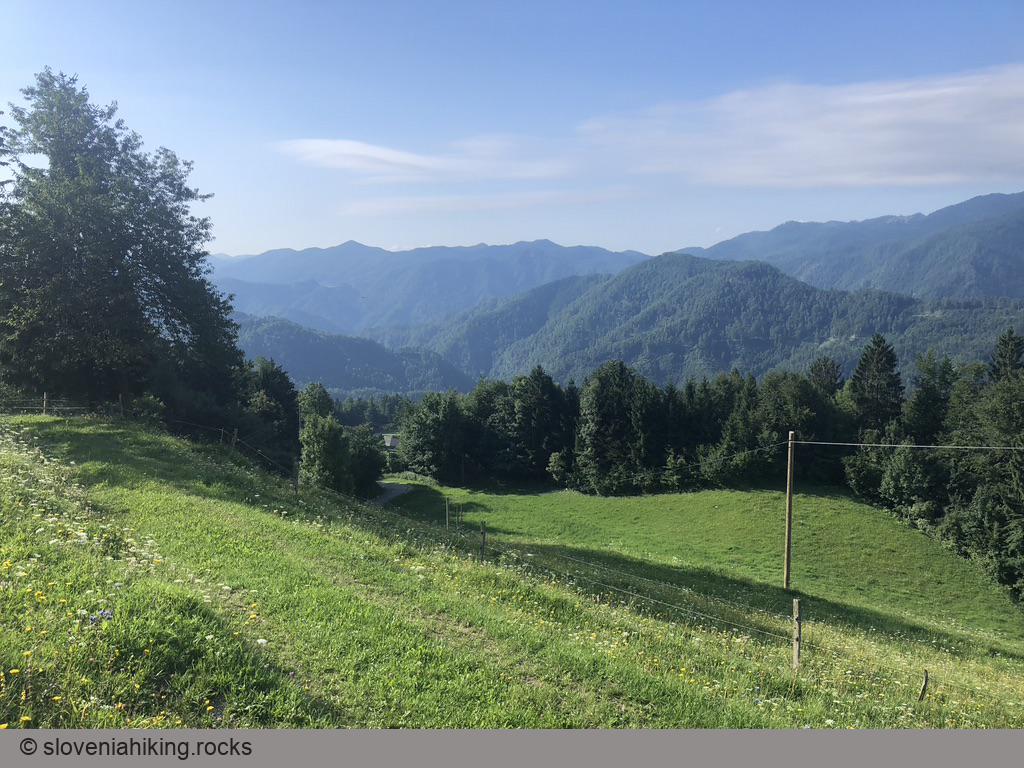
- Take the leftmost asphalt road at every fork until you get to Mrzla Rupa (end of asphalt). Don’t rush; the views of Trnovski Gozd are spectacular.
- At Mrzla Rupa, take the leftmost gravel road to get back to the Idrija–Vojsko road. Turn right to start your descent toward Čekovnik.
Alternative Ascents to Vojsko
From Idrija: Park in the large public parking lot near the city center and follow the signs for Vojsko.
From Idrija via Čekovnik: Start in Idrija and take a detour through Čekovnik on the way there or back (adds at least 200 m elevation gain).
From Spodnja Idrija: Park near Kolektor/Hidria in Spodnja Idrija, follow the direction toward Oblakov Vrh. In Srednja Kanomlja, turn left onto a narrower road toward Vojsko.
Map of the Route
The map shows the path we took as recorded by the GPS receiver. Never trust a GPS track wholeheartedly; rely on your senses and maps.