Regions » Slovene Istria
Notes
- Red dots on the map are hiking trips with English description;
- Green dots are biking tours.
- Gray dots are hikes without an English description. You might still want to look at the map, enjoy the photos, or use Google Translate on Slovenian text .
Hikes or biking tours with detailed descriptions
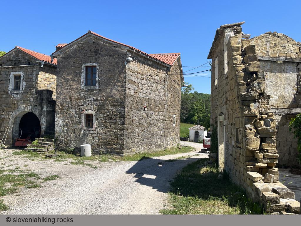
Abitanti from Gračišče (27 km, Δ=470 m)
Abitanti is a tiny Istrian hamlet that’s not just in the middle of nowhere. It’s way beyond that. The village was deserted when I hiked there years ago. This time, I found a group of renovated houses (and locals fixing even more of them) after a colorful ride across Istrian pine forests and meadows.
Biking to Kojnik (15.5 km, Δ=400 m)
It was way too hot for May, and I was tired and sunburnt. An early morning tour to Kojnik, a wooded hilltop south of way more popular (and crowded) Slavnik, was precisely what I needed.
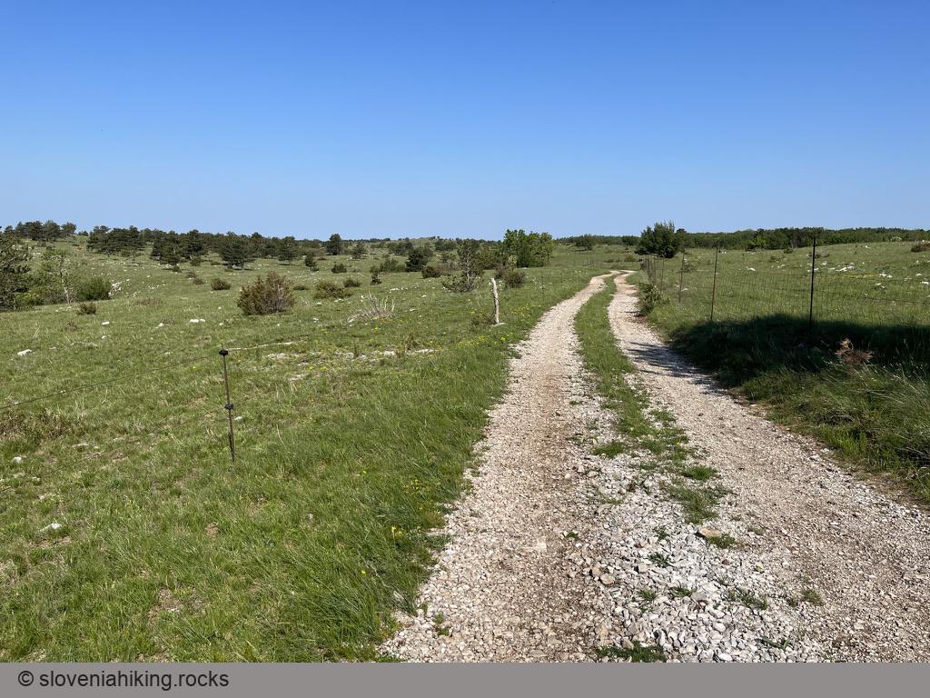
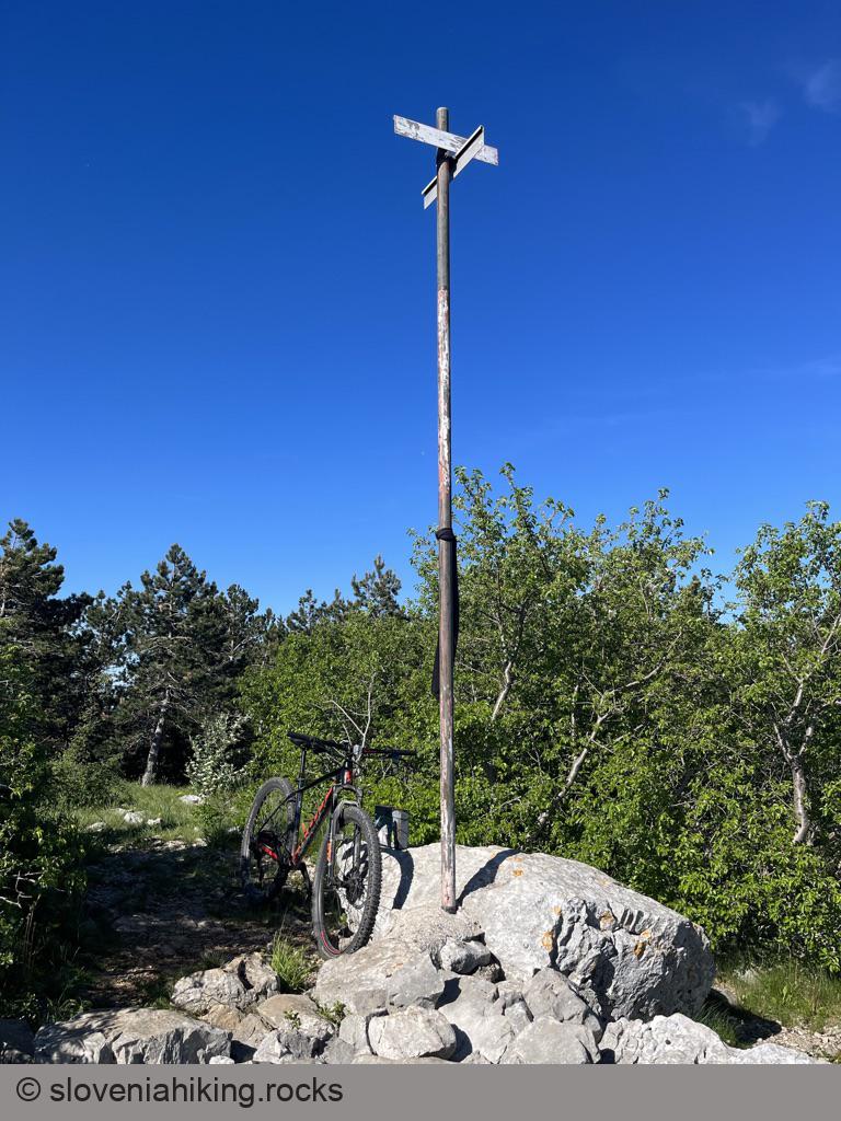
Biking to Kuk and Lačna (18.7 km, Δ=430 m)
I love hiking across the hills on the limestone edge of Slovenian Istria, but whenever I’m schlepping myself along the long dirt trails, I dream of doing them with a mountain bike. As it turns out, what looks like a wide and easy dirt road when you’re hiking could turn into a mischievous beast when you are on a bike, including the trails between Kuk and Lačna.
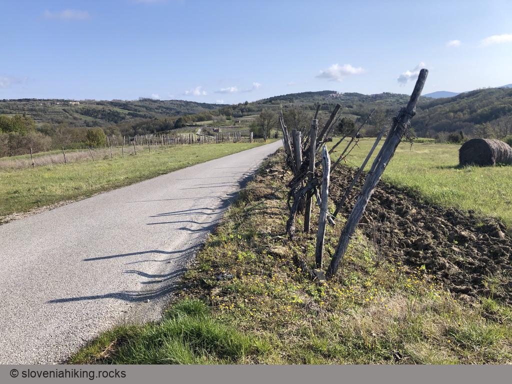
From Marezige to Boršt (23.3 km, Δ=470 m)
The tour from Marezige to Boršt will take you onto scenic hills around Rokava valley. The descent from Labor to Dragonja valley (should you choose to do it) is just the icing on the cake.
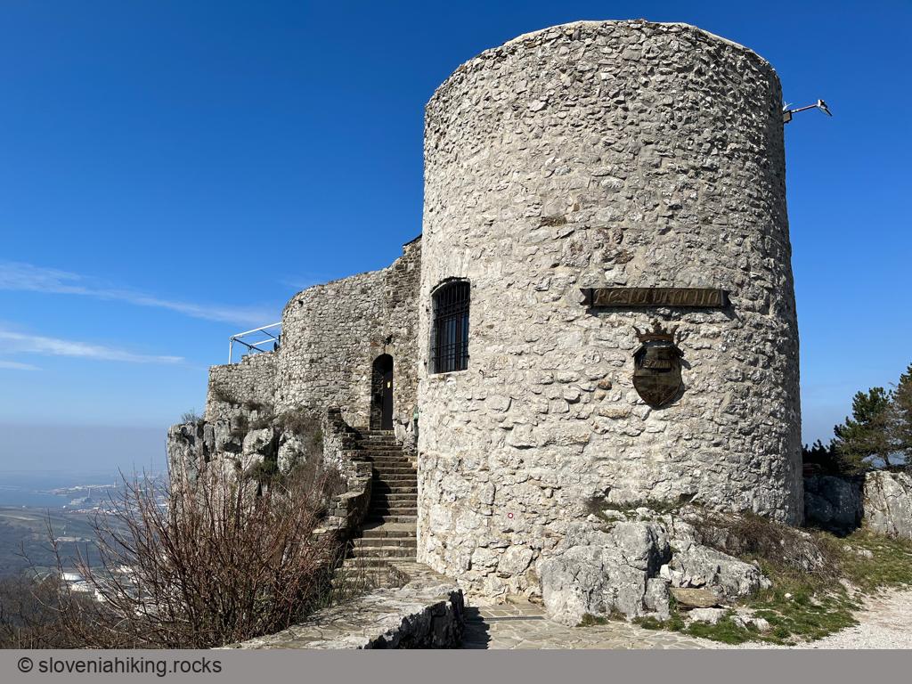
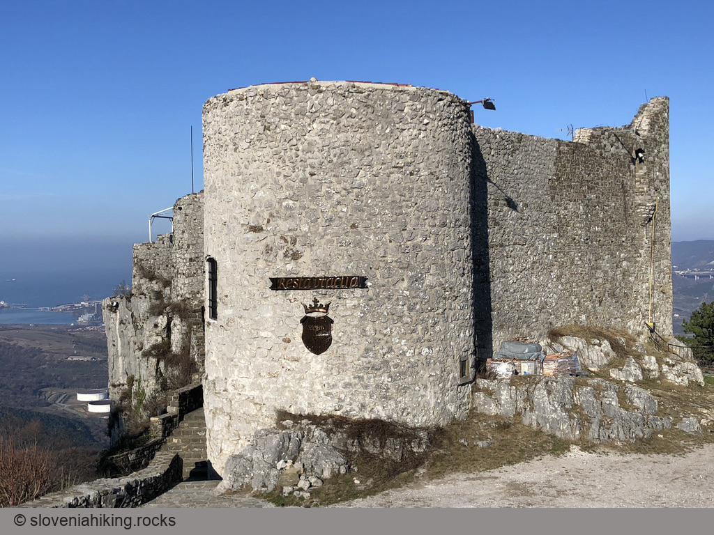
From Osp to Socerb (437 m, Δ=420 m, 2 hours)
Socerb is a castle above the steep cliffs of Karst Edge with a beautiful view of the Bay of Trieste. You can get there by car (the castle restaurant has excellent food), but it’s more fun to hike there from Osp, a village better known for its extensive climbing areas.
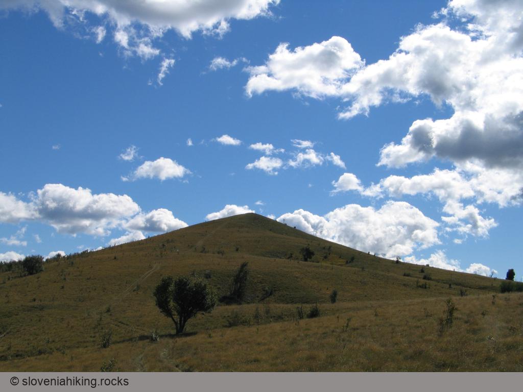
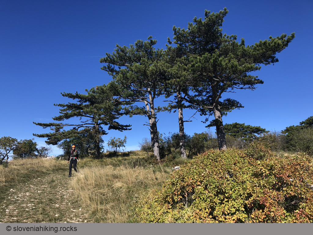
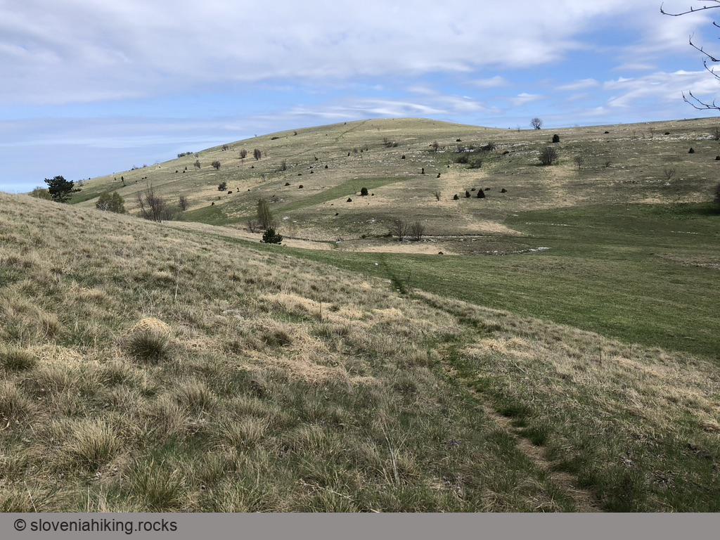
Golič (890 m, Δ=580 m, 5 hours)
Want to experience expansive meadows with beautiful vistas in the middle of nowhere? Golič, a multi-peak ridge south of Slavnik, might be just what you’re looking for.
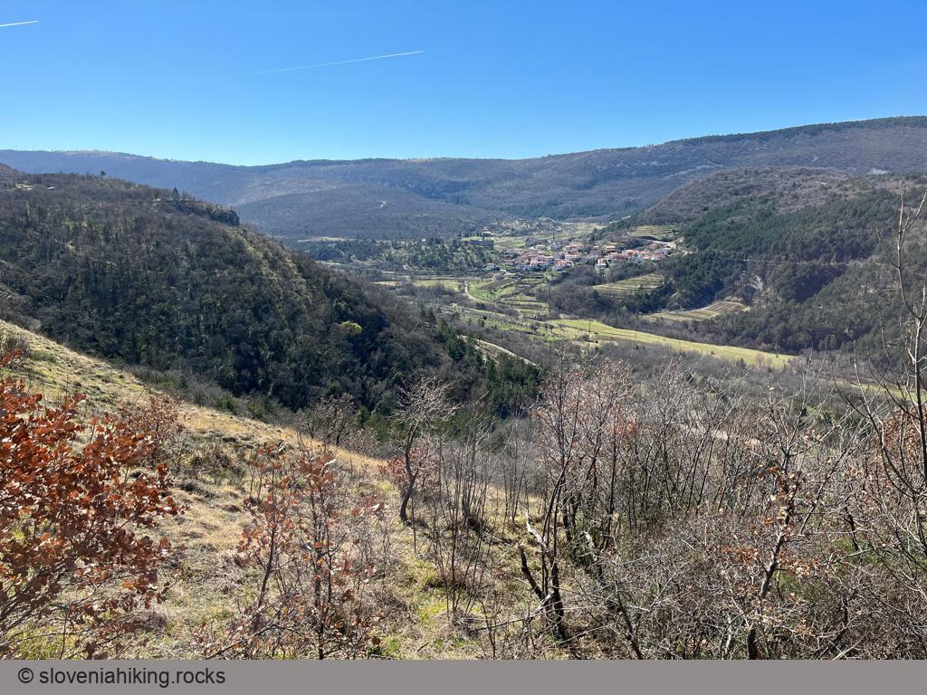
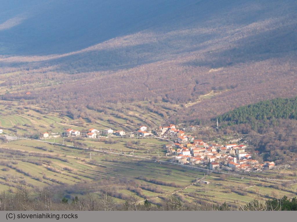
Hrastovlje – Podpeč – Brežec – Zazid (566 m, Δ=700 m, 5 hours)
We decided to take a somewhat longer hike in Istria, and found a path that took us from Hrastovlje to Karst Edge and back around the upper Rižana Valley.
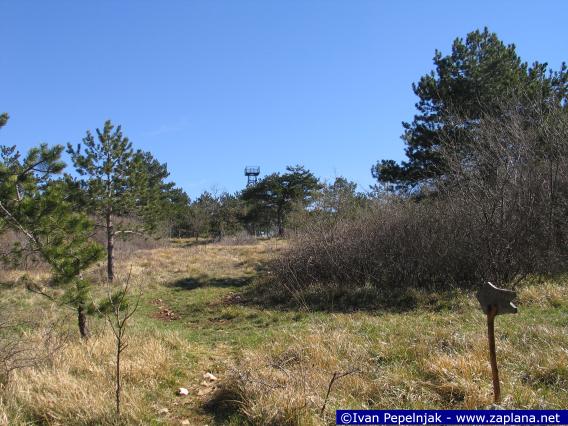
Jampršnik (649 m, Δ=260 m, 2 hours)
Jampršnik is a barely noticeable peak above the overhanging cliffs of Karst Edge. If you find yourself in Zazid but haven’t been to Slovenian Istria before, don’t waste time going there; the hike to Lipnik or Kavčič is infinitely more picturesque. However, if you’ve visited most of the other peaks along the Karst Edge, Jampršnik might be an attractive alternative destination.
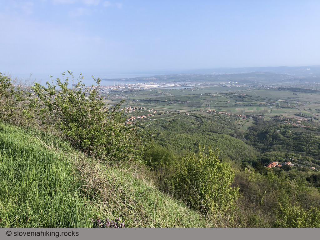
Karst Edge and Praproče from Rižana Valley (14.8 km, Δ=450 m)
Hordes of tourists visiting the famous church in Hrastovlje might spend a few seconds admiring the rocky cliffs high above the village. We’ll explore them, and the lovely meadows north of the Karst Edge.
Karst Edge: Around Črni Kal (420 m, Δ=210 m, 2 hours)
We love exploring paths around the Karst Edge from Črni Kal to Zazid, and it’s even more fun if they happen to be unmarked. This time we’ll do an easy hike along old dirt roads – an ideal family weekend trip.
Kavčič from Rakitovec (883 m, Δ=400 m, 3 hours)
Kavčič is the easternmost peak in the Kraški Rob (Karst Edge) ridge, with a beautiful view of surrounding meadows and hills.
Kojnik (802 m, Δ=290 m, 2 hours)
Kojnik is a wooded hilltop south of Slavnik with an excellent view of Slavnik and Golič ridges. You might want to go there when you see hordes going to the vastly more popular Slavnik; it might also be a lovely destination for a longer family hike.
Kuk and Gradež above Hrastovlje (507 m, Δ=410 m, 3 hours)
Veliki Gradež and Kuk are barely visible bumps (with incredible vistas) at the edge of an expansive steppe-like meadow east of Hrastovlje and Rižana Valley.
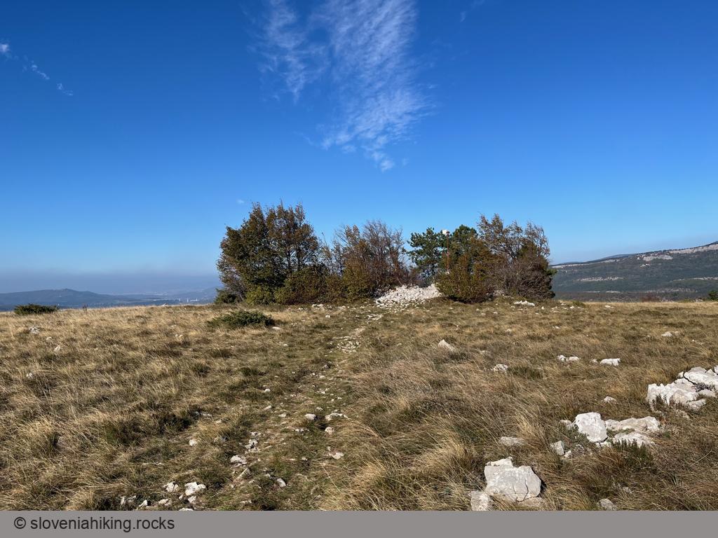
Lačna from Gračišče (451 m, Δ=150 m, 1.5 hour)
A leisurely walk from Gračišče (a village in Slovenian Istria next to the main road toward Buzet) to Lačna is an ideal short family hike that you could easily extend into a much longer experience, depending on how enthusiastic your kids are.
Lačna, Kuk and Kvirik (497 m, Δ=500 m, 4 hours)
We love visiting Lačna in autumn to enjoy the fiery fall colors of the European smoke bush, and we try to do a slightly different hike every year. This time, we went for a long roundtrip visiting Lačna, Kuk, Movraž, and Kvirik.
Lipnik from Zazid (804 m, Δ=420 m, 4 hours)
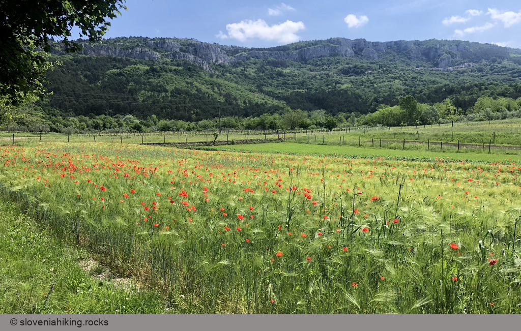
Lipnik is one of many barely noticeable peaks on Kraški Rob (Karst Edge), the border between limestone Karst plateau and flysch terrain of lower Istria. Hike there in early May and enjoy the wildflowers along the way.
Marezige – Šmarje – Vanganel (18.9 km, Δ=500 m)
You’ll love biking through old Istrian villages high above Adriatic sea. Some of the vistas you’ll encounter are probably among the best ones you can get in Slovenian Istria.
Marezige – Trsek – Popetre (18.3 km, Δ=520 m)
After enjoying the vistas of Adriatic Sea, it’s time for a trip deep into Šavrinsko gričevje (Šavrinje hills). We’ll start in Marezige, cross Rokava and Dragonja valleys, visit Trsek, enjoy the views from the road to Popetre, and return to Marezige via Lopar or Gradišče.
Podgorje
Podgorje is the ideal starting point for a quick hike to Slavnik, or for a day-long exploration of eastern parts of Karst edge.
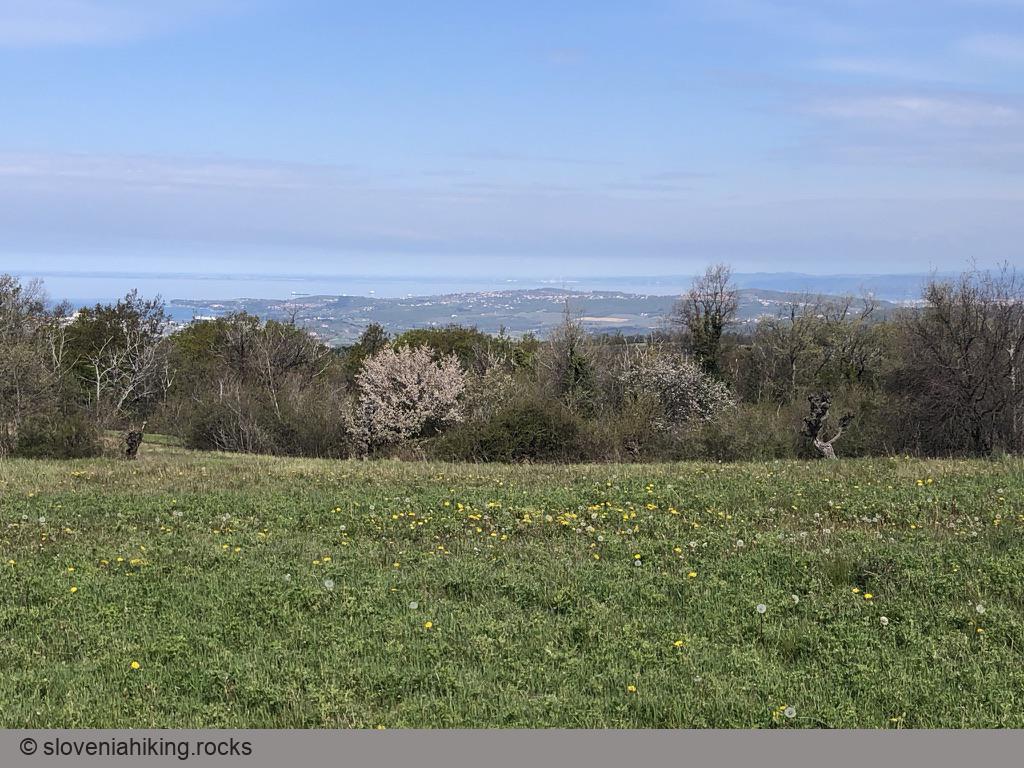
Pomjan Fairy Tale (350 m, Δ=430 m, 2.5 hours)
Pomjan is a village on a hilltop high above the Slovenian coast – an ideal destination for a family excursion or a wake-me-up morning hike starting at the outskirts of Koper.
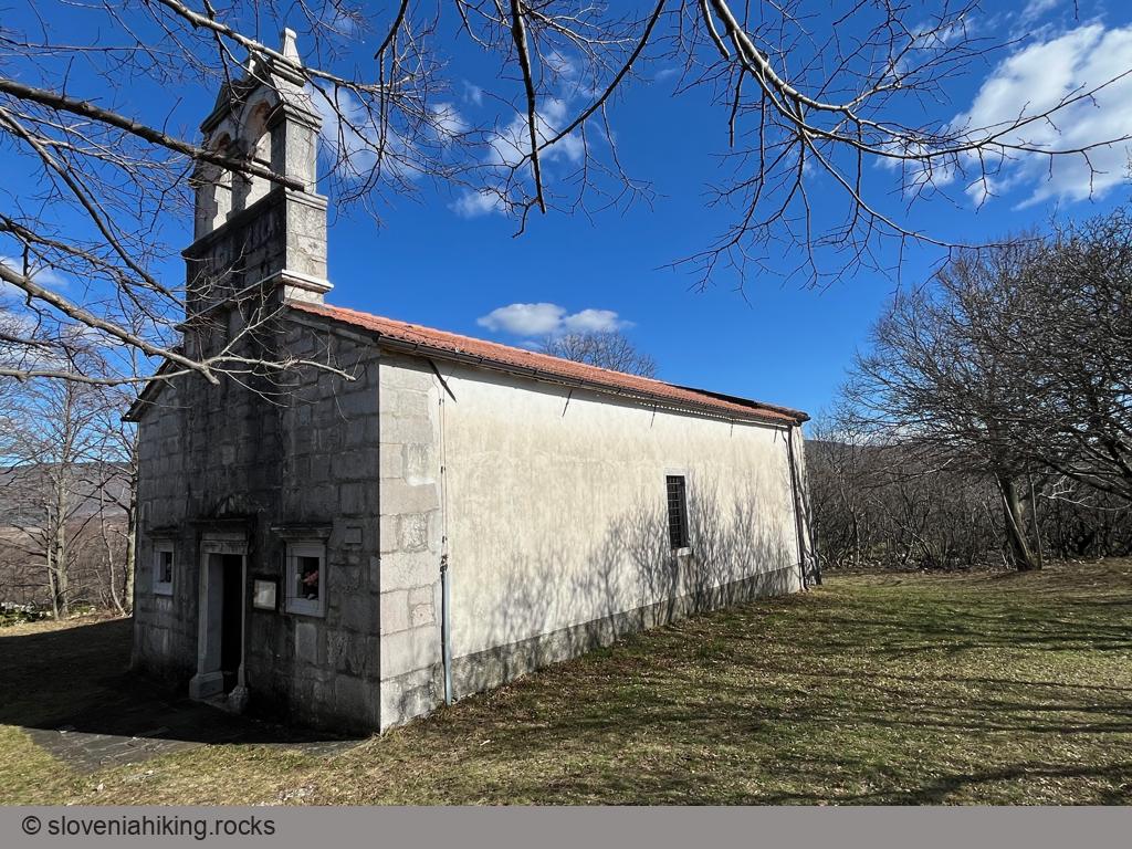
Praproče and Marija Snežna (467 m, Δ=240 m, 3 hours)
The church of Marija Snežna (Santa Maria Maggiore), hidden on a wooded hill north of the Karst Edge, is a beautiful destination for a half-day hike if you love hiking around Črni Kal but have exhausted all the obvious choices.
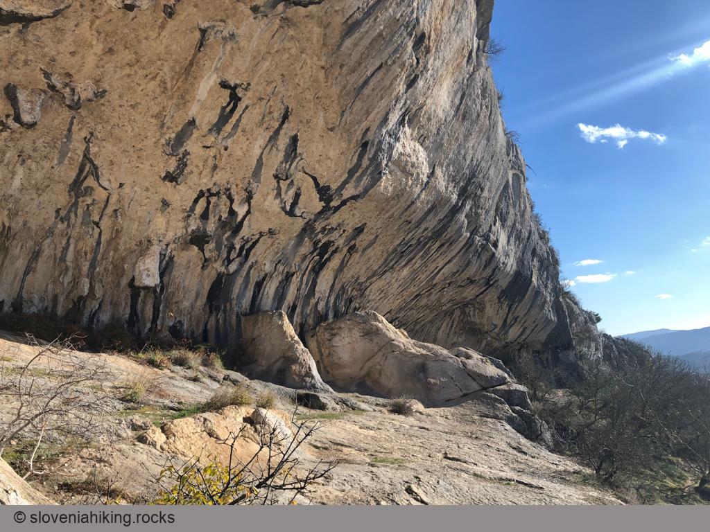
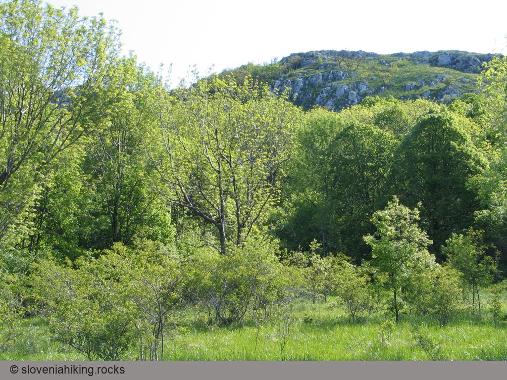
Rock Shelters in Veli Badin (410 m, Δ=300 m, 2 hours)
The cliffs at the boundary between limestone and clay parts of Slovenian Istria end with enormous rock shelters – a must-see for every hiker visiting these parts of Slovenia.
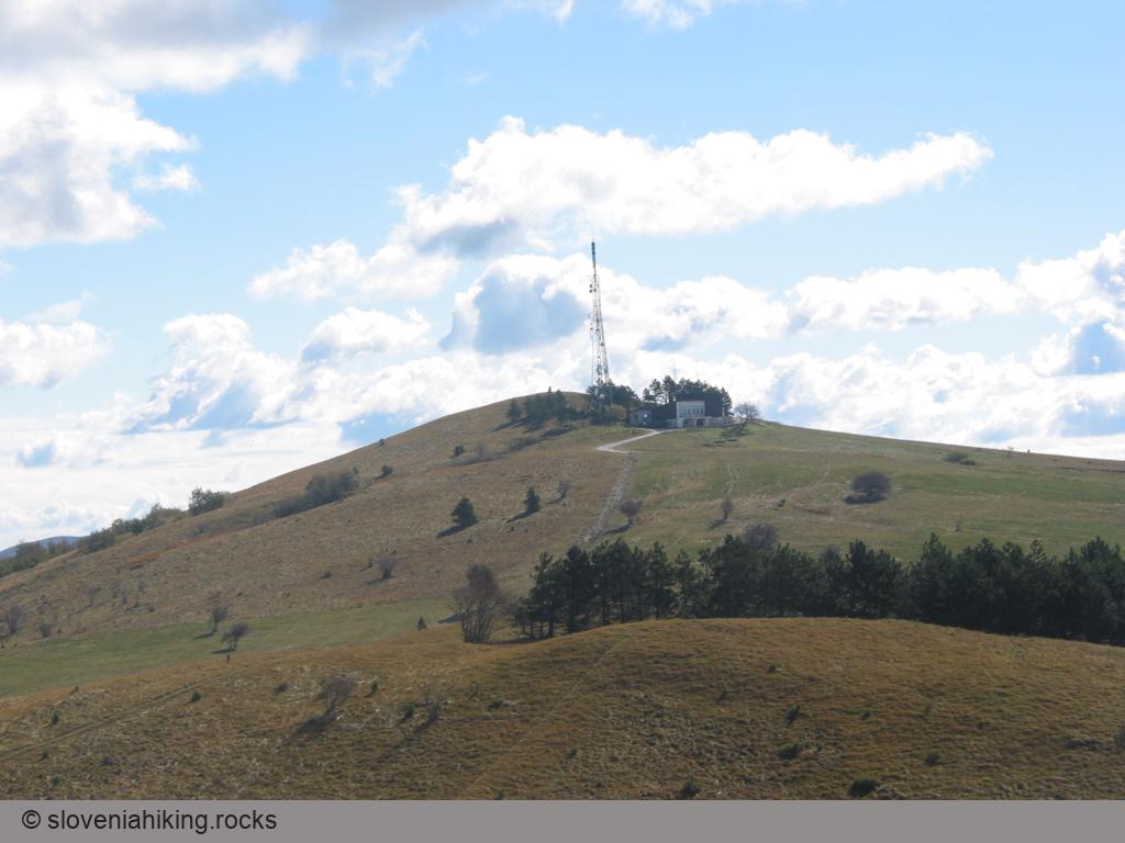
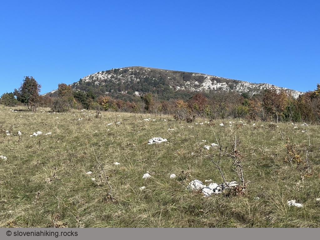
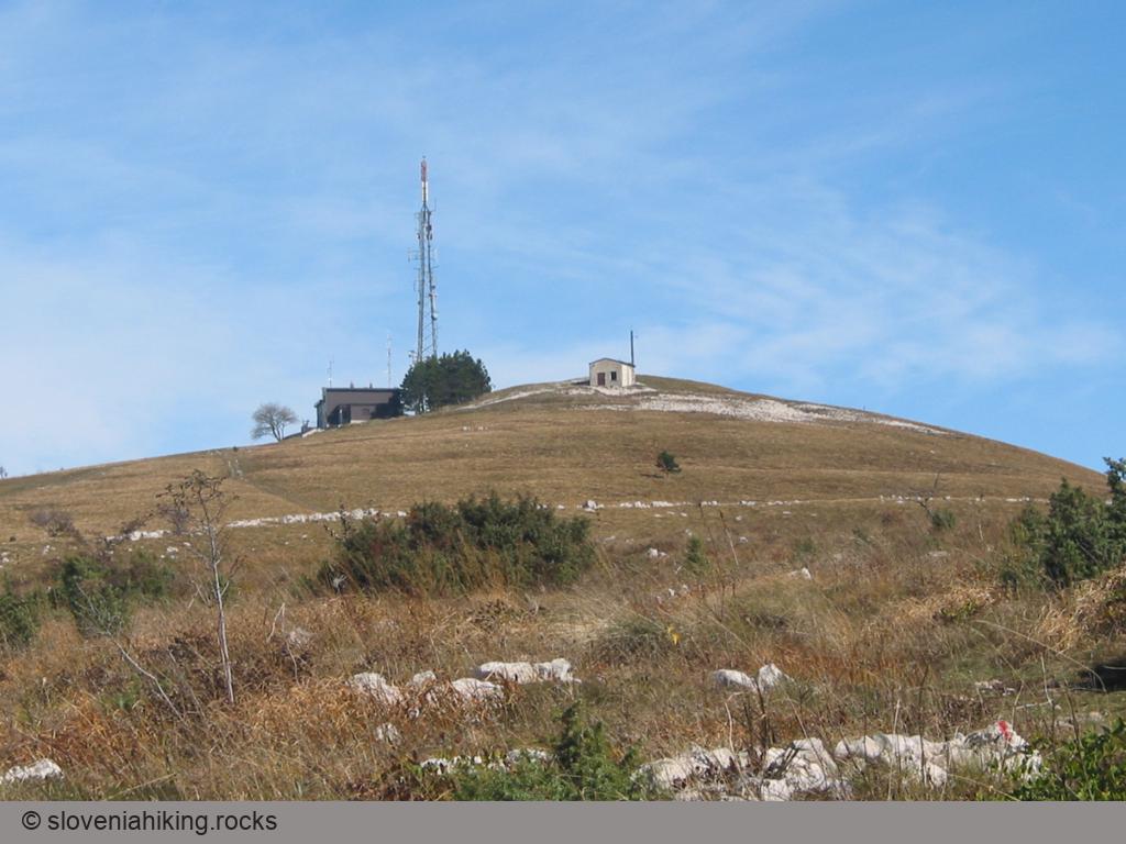
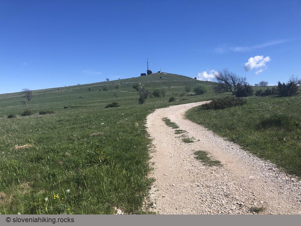
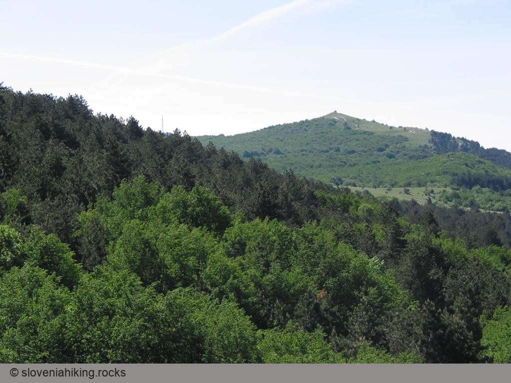
Slavnik (1028 m)
Slavnik is the highest peak of the Slavnik range, the last mountain range before the gentle slopes of Slovenian Istra. It's also the last peak above 1000 meters visited by the Slovenian Mountain Hiking Trail.
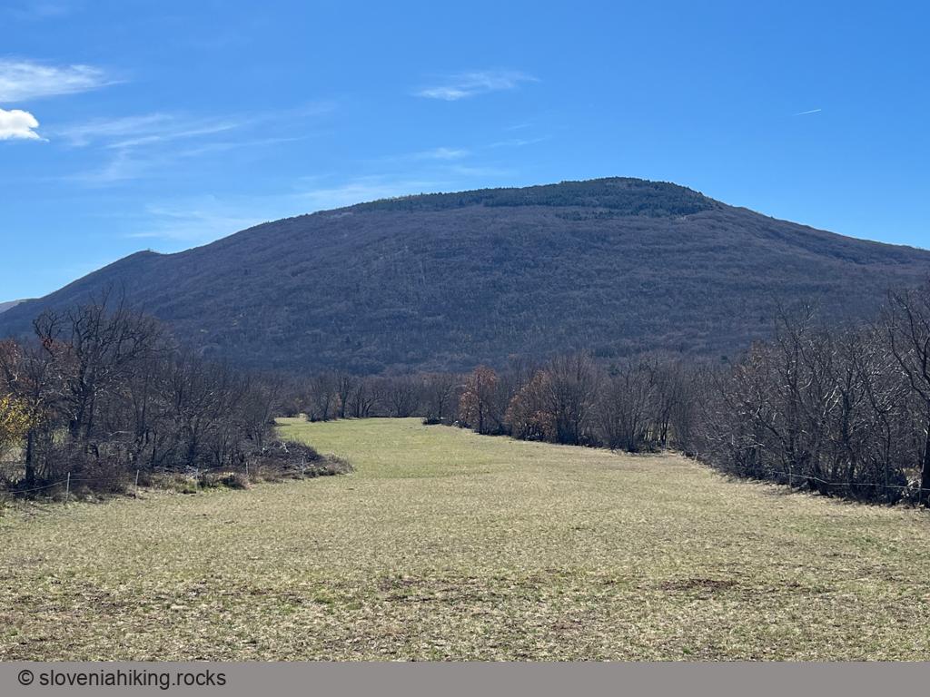
Slavnik and Grmada from Podgorje (1028 m, Δ=510 m, 3 hours)
The shortest routes to Slavnik lead from Podgorje, a small karst village south-west of the mountain, where you’ll find abundance of little paths and cart-tracks across Slavnik’s southern slopes.
Slavnik from Podgorje (on a bike) (12.1 km, Δ=510 m)
I’m lamenting the loss of the dirt track leading to Slavnik every time I hike there, but the gravel road it was bastardized into comes handy if you decide to get to the top with a mountain bike.
Slavnik from Podgorje (steep path) (1028 m, Δ=510 m, 2.5 hours)
Since the overabundance of EU cohesion funds helped transform the old dirt track to Slavnik into a gravel road, I prefer to take the steeper footpath ascending directly toward the peak.
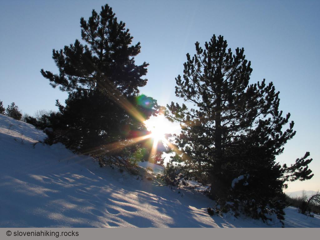
Slavnik from Prešnica (1028 m, Δ=520 m, 4 hours)
Goldilocks would love the hike from Prešnica to Slavnik. It’s not too long nor too short, it’s not too steep nor too dull, and it’s in a lovely shade, but the forest is thin enough to let some winter sunshine through.
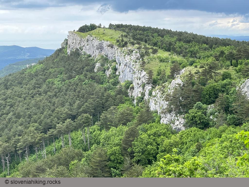
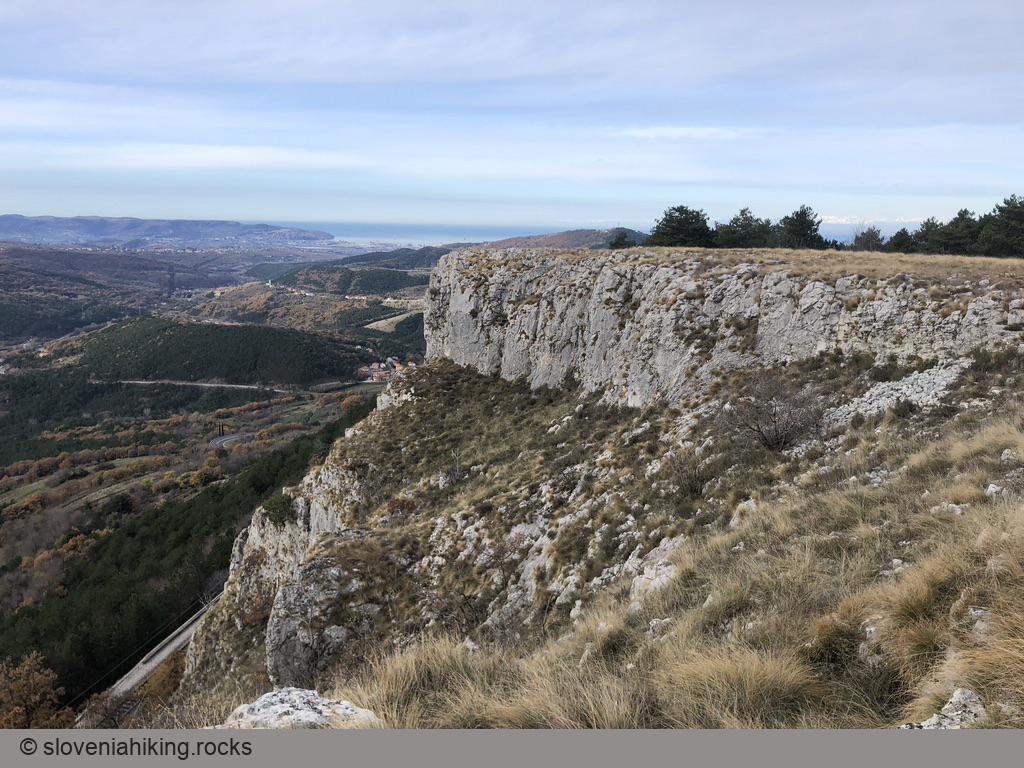
Up, Down and Around the Karst Edge (22 km, Δ=520 m)
Karst Edge is the wondrous land where the limestone cliffs of continental Slovenia meet the soft flysch landscape of lower Slovenian Istria. This time we’ll explore dirt tracks on its easternmost part – from Podgorje to Kavčič.
Zgornji Kras and Socerb Castle (440 m, Δ=80 m, 1 hour)
When our kids were still in kindergarten, they loved hiking around the place with the Bora wind – the meadows of Zgornji Kras, a karst plateau above Trieste with beautiful views of surrounding hills and the Adriatic Sea.
Other hikes in this region
- Abitanti (418 m, Δ=180 m, 3 hours)
- Bržanija from Hrastovlje to Zazid (450 m, Δ=330 m, 3.5 hours)
- From Padna to st. Peter (280 m, Δ=360 m, 4 hours)
- Lačna from Hrastovlje (451 m, Δ=290 m, 2 hours)
- Lačna from Kubed (451 m, Δ=220 m, 2.5 hours)
- Ostrič (1054 m, Δ=500 m, 3.5 hours)
- Slavnik from Markovščina (1028 m, Δ=470 m, 5 hours)
- Tinjan from Osp (374 m, Δ=340 m, 2 hours)