Hiking in Slovenia » Slovene Istria » Lačna » Lačna from Kubed
At a Glance
- Altitude
- 451 m
- Average time
- 2.5 h
- Elevation gain
- 220 m
- Coordinates
-
Start: 45.519562,13.869997
Peak: 45.504969,13.885283
We don't have an English description of this hike yet , but you might want to try your luck with Google Translate. Also, it would be great if you would take the hike and contribute a description. Thank you!
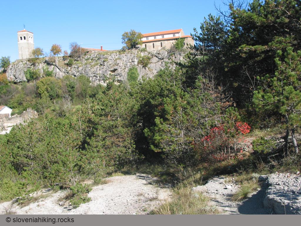
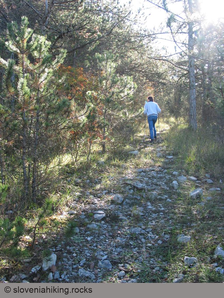
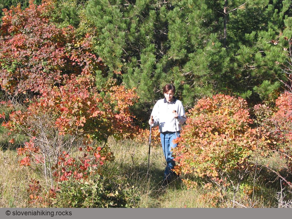
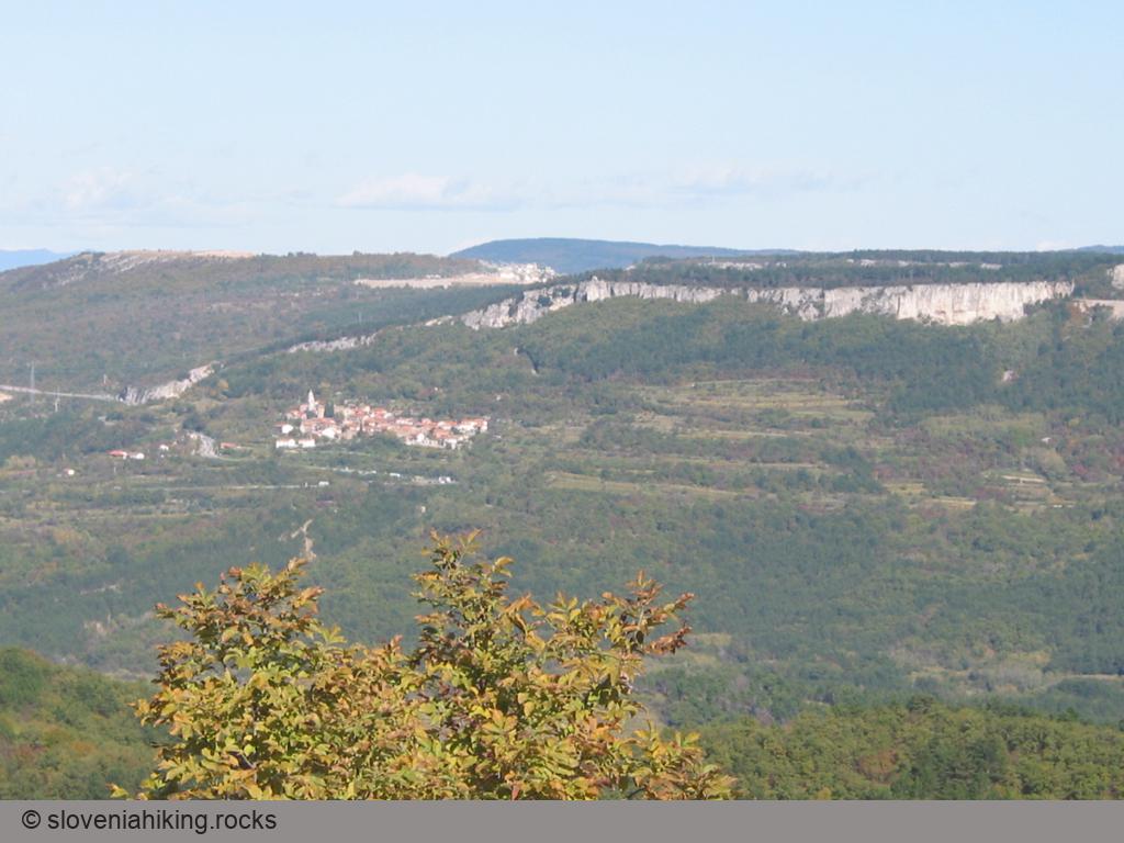
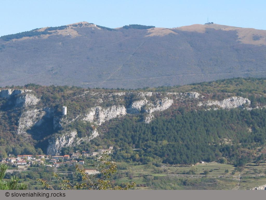
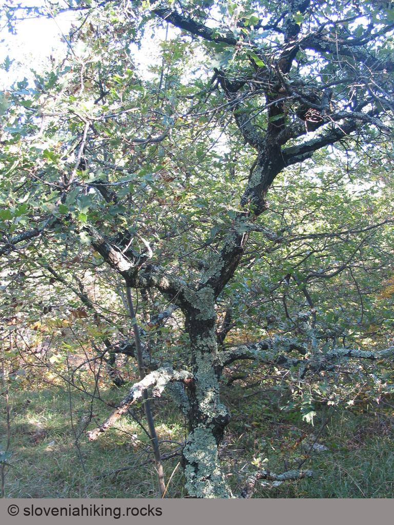
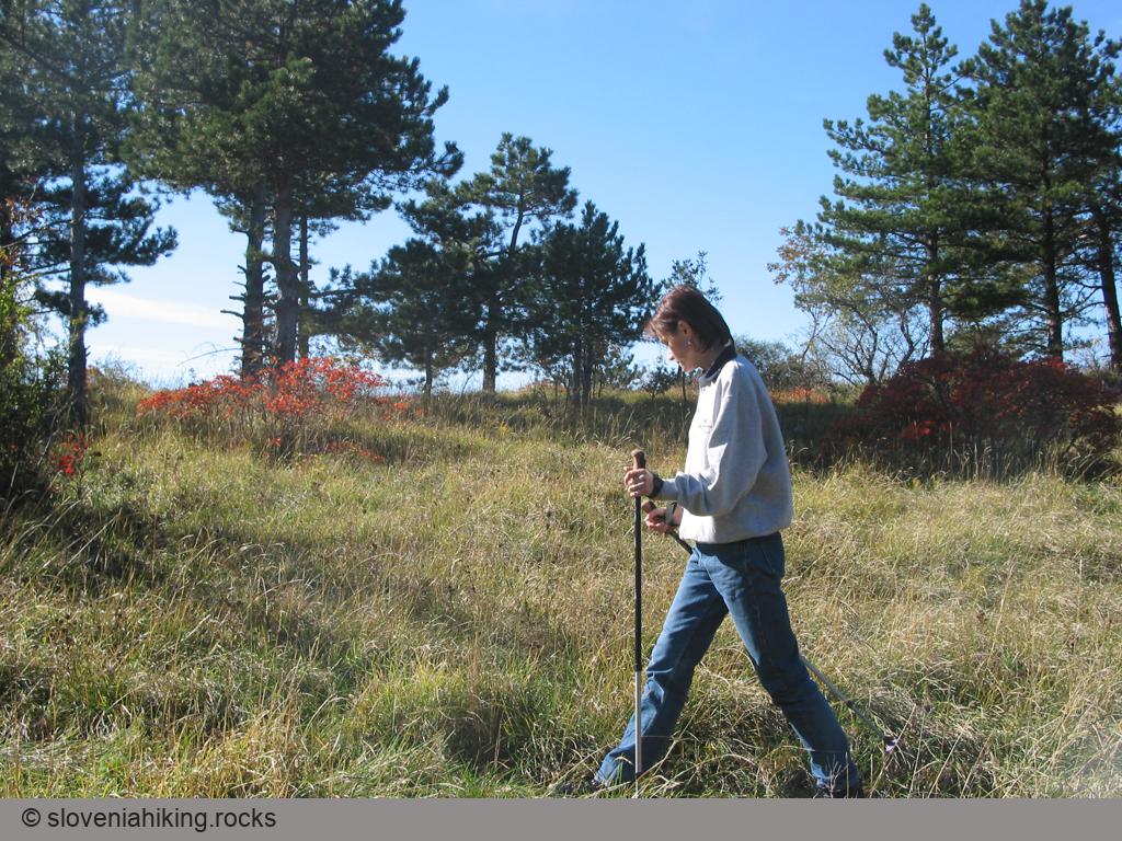
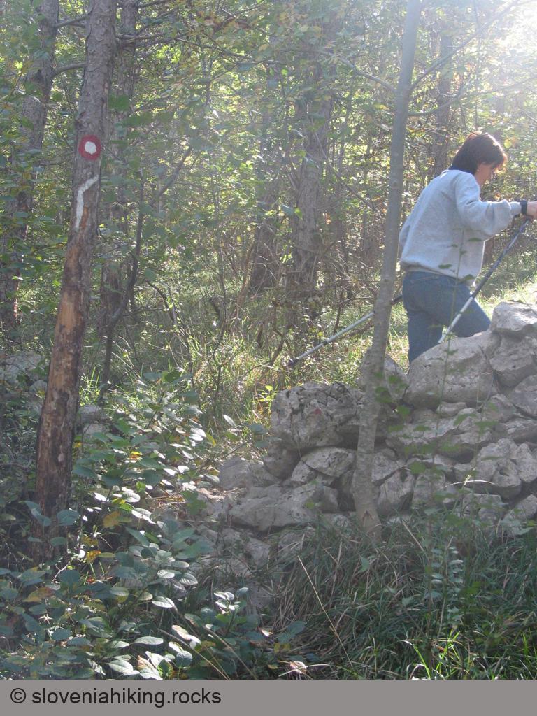
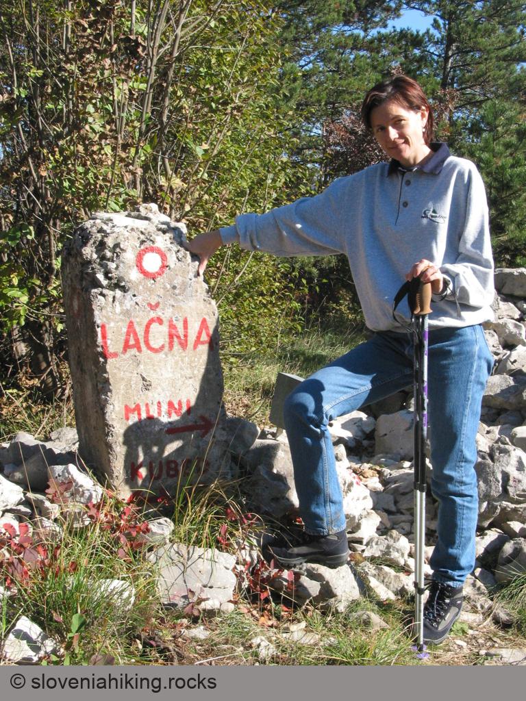
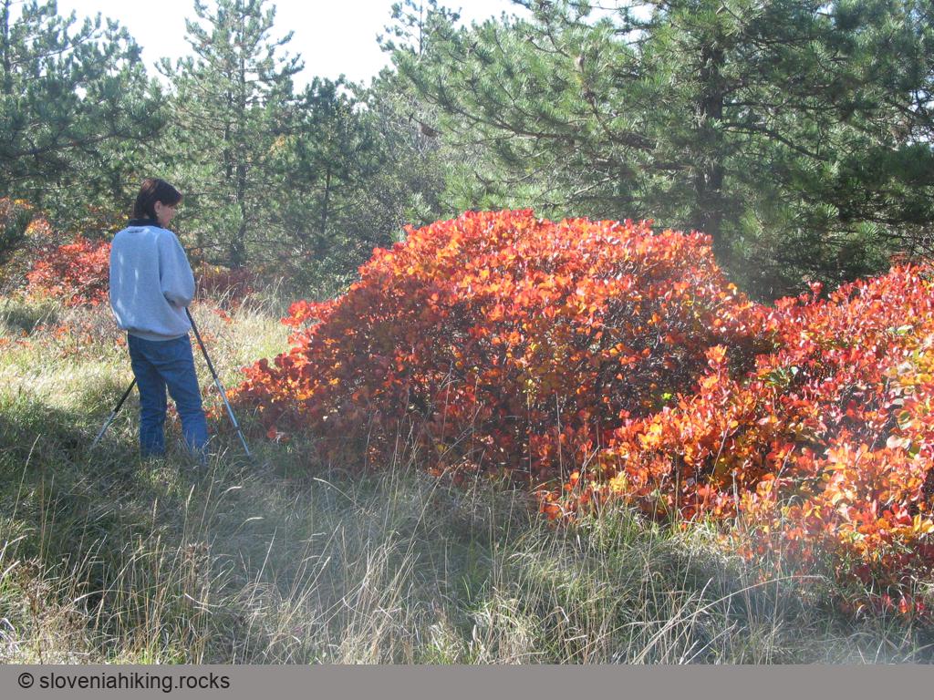
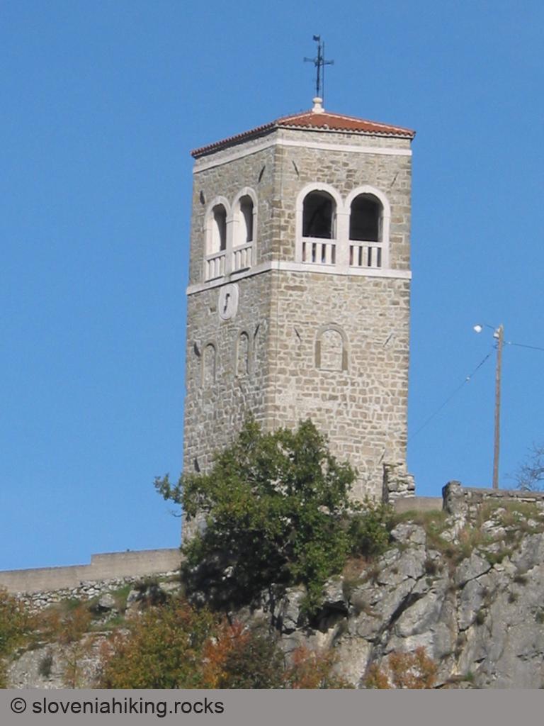
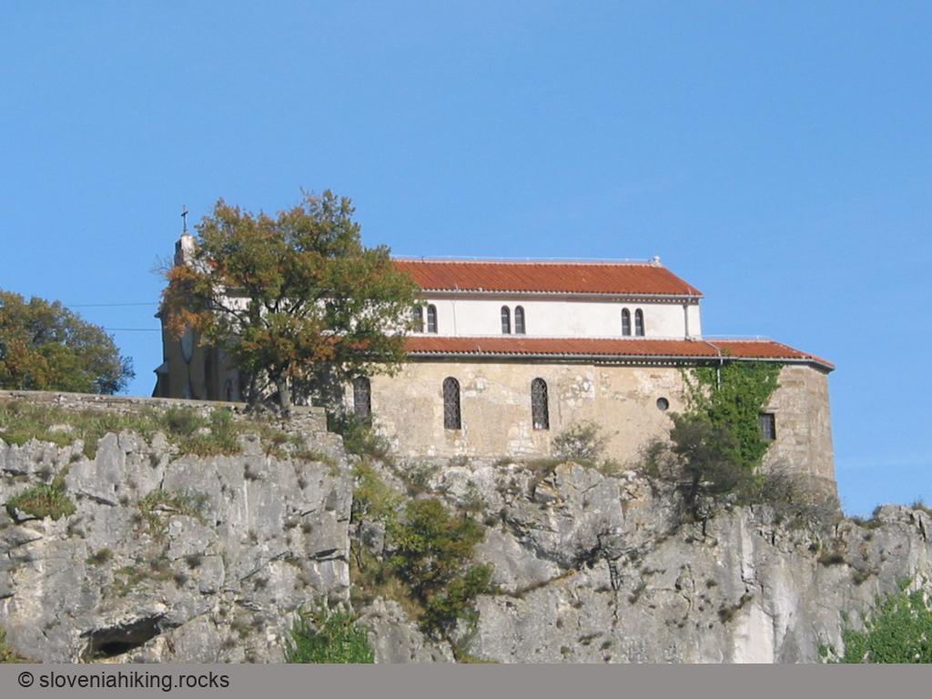
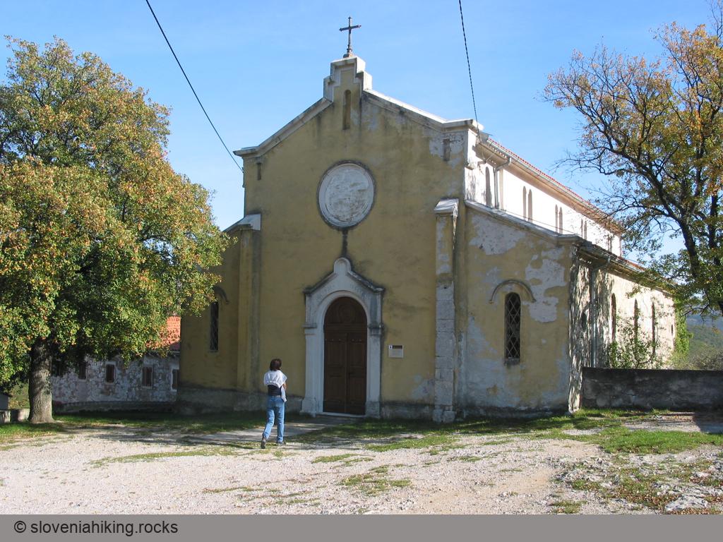
Photo Gallery


Map of the Route
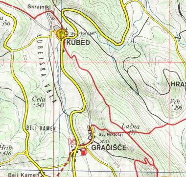

The map shows the path we took as recorded by the GPS receiver. Never trust a GPS track wholeheartedly; rely on your senses and maps.