Biking in Slovenia » Primorska » Zadlog from Wild Lake
Zadlog is a dispersed settlement stretched across a fairy-tale flatland high above the upper Idrijca Valley. We’ll start at Wild Lake, use an old road supposedly built during the Napoleonic occupation of Slovenia, and return via the scenic Strug gorge.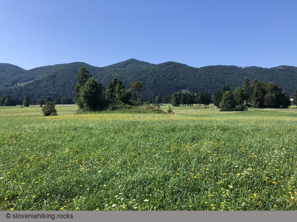
At a Glance
- Difficulty
- A mix of reasonably steep asphalt and gravel roads
- Altitude
- 733 m
- Average time
- 2 h
- Elevation gain
- 450 m
- Distance
- 22.4 km
- Coordinates
-
Start: 45.982522,14.027454
In a Nutshell
- I usually park next to Wild Lake (starting coordinates). There is a tiny parking lot at the start of the gravel road toward Idrijski Log, but it’s usually packed. There are further parking opportunities along the Strug gorge (warning: use only the marked parking spots).
- Bike toward the Idrija–Logatec main road. Before reaching the bridge across Zala, turn right onto an ascending gravel road following signs for Idrijski Log.
- Stay on the main gravel road (most of the side roads are either closed off or marked as logging roads – gozdna cesta) until you reach a tiny column shrine in Idrijski Log.
- Follow the immortal “when you get to a fork in the road, take it” advice – both asphalt roads will eventually bring you to Zadlog. We took the right one and had to take a sharp left turn at the next junction to get to Zadlog.
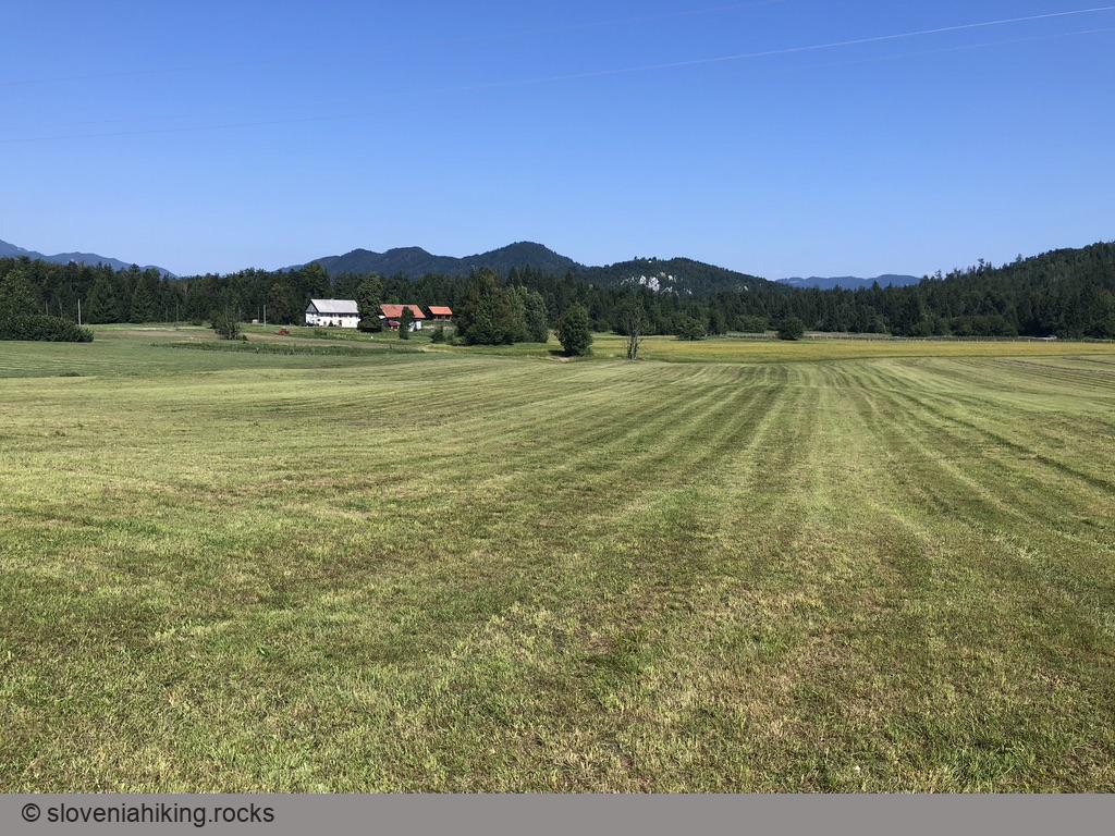
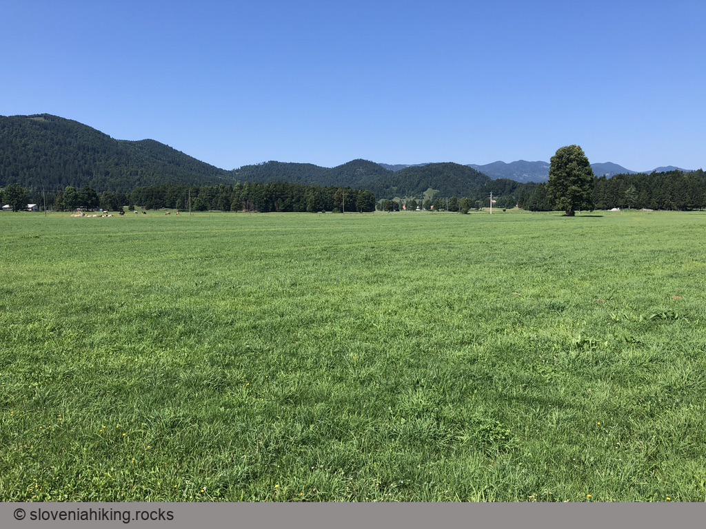
- After making a loop around Zadlog enjoying the blooming meadows, we decided to return to Idrijska Bela – it was as easy as following the road signs.
- In Idrijska Bela, turn right into the Strug gorge, and you’ll eventually reach the spot where you left the car.
More Information
Geopark Idrija has a fantastic page describing karst phenomena in upper Idrijca Valley.
Too short?
Sometimes I extend the trip to Mala Gora1 and the first pass above it, where a sign points you to remains of an old windmill – sadly, I never found them. You could go even further and return to Idrijska Bela via Trnovski Gozd and Mrzla Rupa.
-
A clearing on the slopes of Trnovski Gozd (Trnovo Forest). ↩︎
Map of the Route
The map shows the path we took as recorded by the GPS receiver. Never trust a GPS track wholeheartedly; rely on your senses and maps.