Biking in Slovenia » Primorska » Zakojca from Idrijca Valley
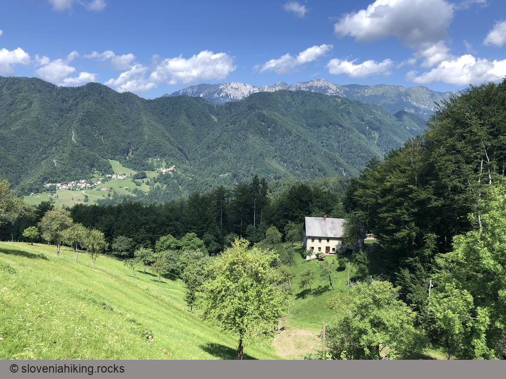
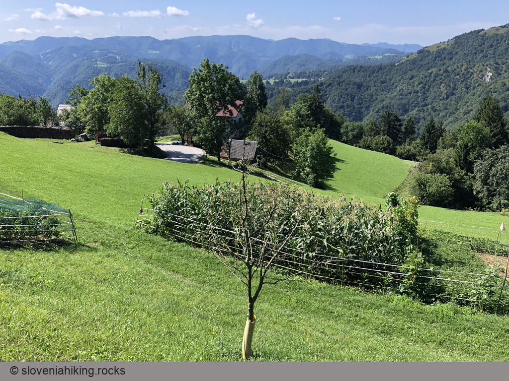
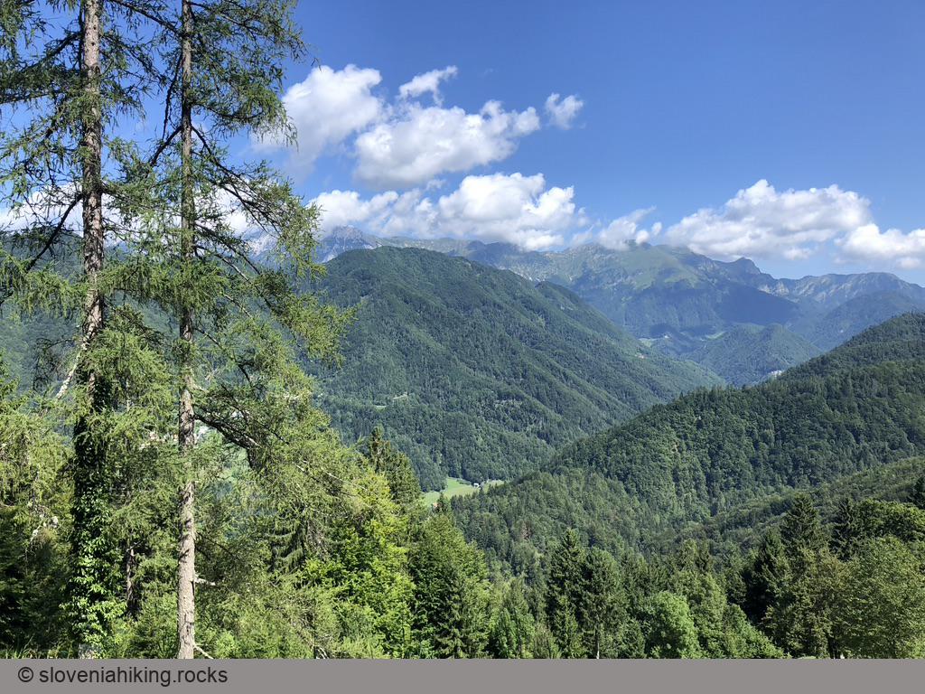
Zakojca is a tiny village on the northern slopes of Kojca with a beautiful view of the southern peaks of the Julian Alps. Starting from Idrijca valley, you could get there on an asphalt road via Bukovo or (more interestingly) via Vrh Ravni pass.At a Glance
- Difficulty
- Steep asphalt road
- Altitude
- 723 m
- Average time
- 3 h
- Elevation gain
- 640 m
- Distance
- 24.8 km
- Coordinates
-
Start: 46.117423,13.921578
So Many Choices
Start in Reka, where you could park at the tiny parking lot across the Idrijca river (starting point for a hike to Divje Babe/Šebrelje).
Depending on how interesting you want to make your tour, you could:
- Go straight to Zakojca via Bukovo
- Take a steep ascent through Orehek Gully (described below), then turn left toward Bukovo and Zakojca.
- After ascending through Orehek, turn right (direction Cerkno) to proceed to Vrh Ravni pass via Jesenica. Descend to Zakojca on a rough gravel road.
Orehek Gully Ascent
- Returning to the main road from the parking lot, turn right toward Reka, and take the first left into the village to get off the main road.
- Follow hiking waymarks through Reka. Afterward, start following signs for Orehek.
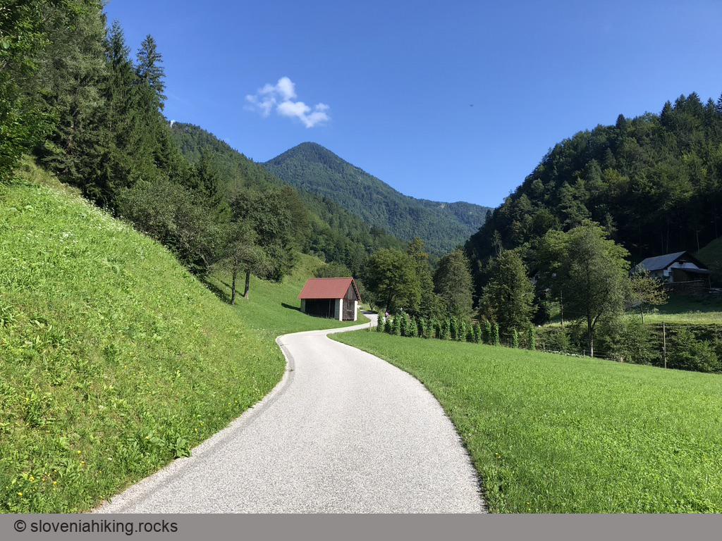
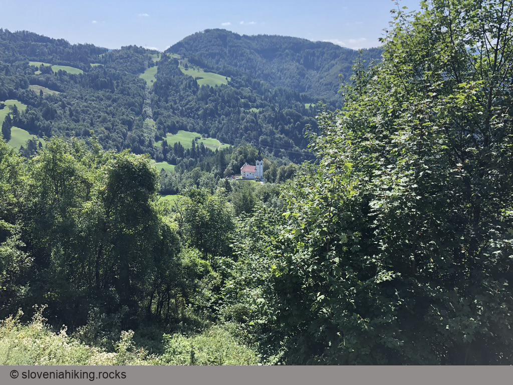
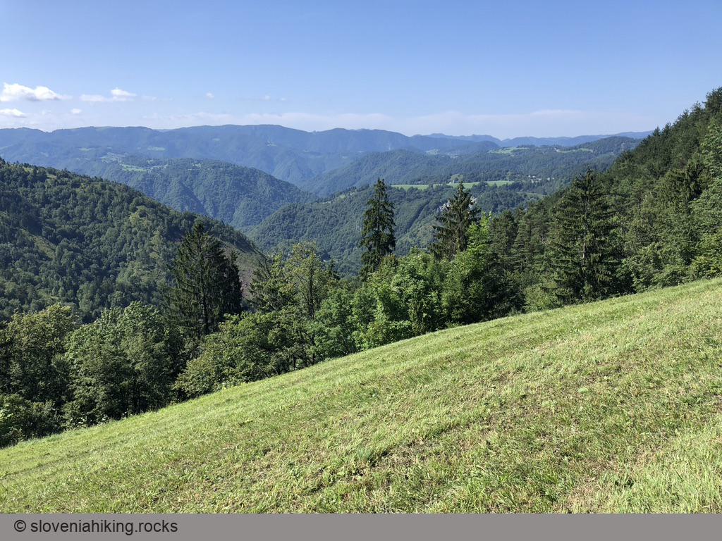
- The ascent through Orehek is murderous, but once you reach the Bukovo–Jesenica road, you’ll enjoy the views of Idrijca and later Bača valley as you’ll leisurely bike along the slops of Kojca toward your destination.
- Follow signs for Bukovo and later Zakojca.
Map of the Route
The map shows the path we took as recorded by the GPS receiver. Never trust a GPS track wholeheartedly; rely on your senses and maps.
