Regions » Julian Alps
Notes
- Red dots on the map are hiking trips with English description;
- Green dots are biking tours.
- Gray dots are hikes without an English description. You might still want to look at the map, enjoy the photos, or use Google Translate on Slovenian text .
Hikes or biking tours with detailed descriptions
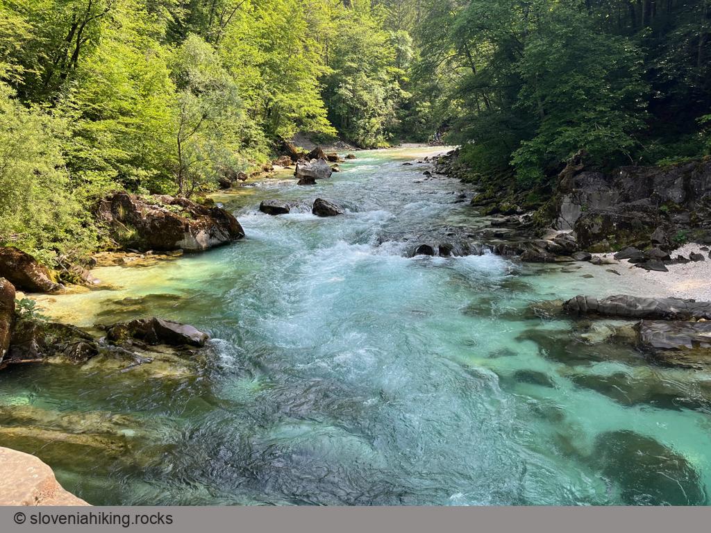
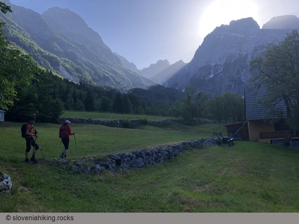
Around Bovec: Čezsoča, Jablanca, Koritnica (599 m, Δ=400 m, 3 hours)
We were staying in Bovec in the lovely House Natura and wanted to walk for a few hours, but we didn’t dare to go high into the mountains due to unstable weather. Our solution: a hike along the many trails around Bovec.
Climbing above Vršič Pass (2087 m)
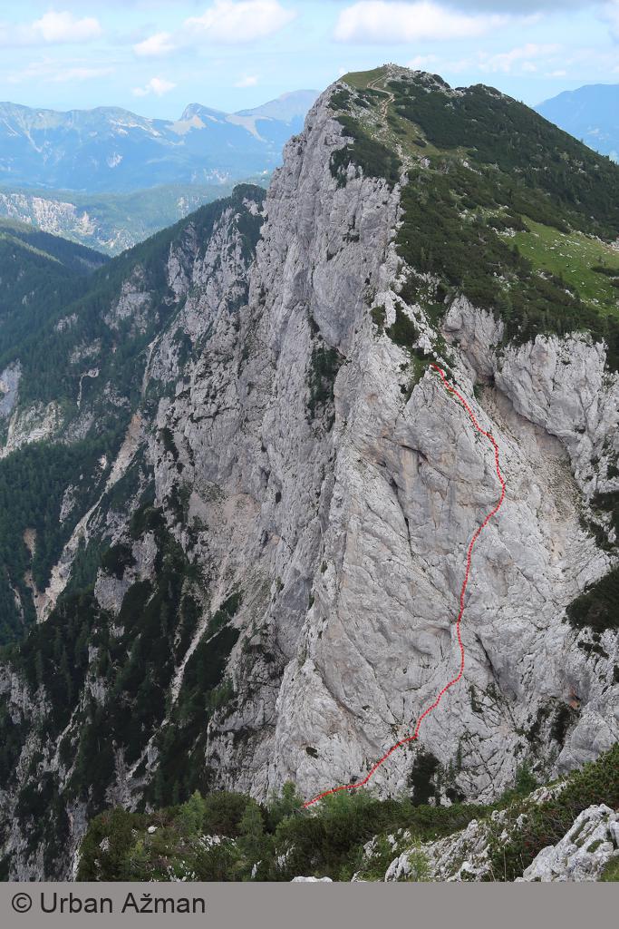
Climbing the rockfaces above Vršič pass is as close as one can get to Plaisir alpine climbing in Slovenia. You’ll start above the treeline, hike for 30-45 minutes, and enjoy an extensive collection of trad- or bolted multi-pitch climbs, either in full sun (southwest face of Nad Šitom Glava) or shadow (north faces of Nad Šitom Glava or Mala Mojstrovka).
Debeli Vrh (Fat Peak) (1959 m, Δ=760 m, 4.5 hours)
Debeli Vrh (Fat Peak) is one of the many minor peaks in the long ridge between Pokljuka plateau and Krma valley. Most hikers rush to nearby Viševnik or Lipanca, so you’re almost guaranteed to be on your own enjoying the views and solitude.
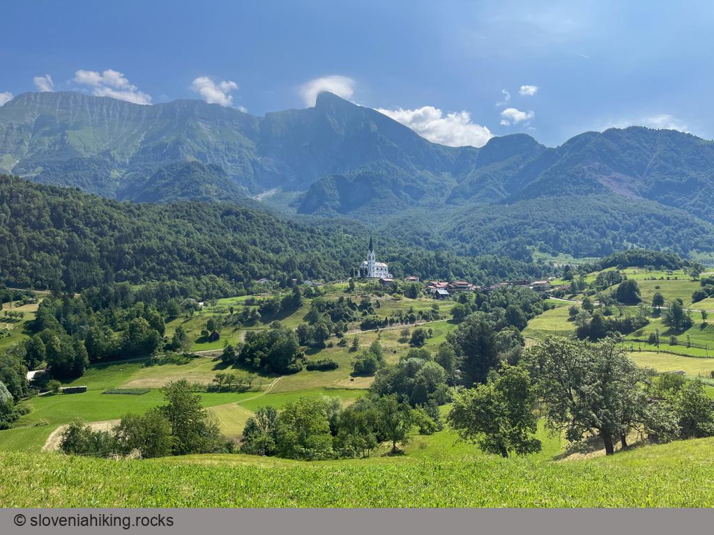
Drežnica (9.6 km, Δ=300 m)
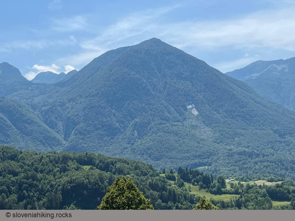
Drežnica is a small village high above Soča valley, snuggled onto the steep slopes of Krn. It offers magnificent views of the surrounding peaks, and it’s not hard to get there – it’s just five kilometers away from Kobarid.
From Krnica toward Pokljuka (1100 m, Δ=480 m, 3.5 hours)
Hiking from Krnica (a village at the bottom of the slopes of Pokljuka plateau) to Pokljuka takes at least three hours, and it tends to get boring – the landscape doesn’t change, and there are no spectacular views. No problem, a bit of ingenuity creates a nice roundtrip.
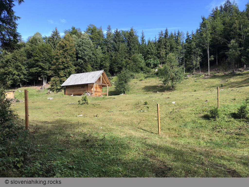
Goričica Alp (Planina Goričica) (1340 m, Δ=750 m, 4 hours)
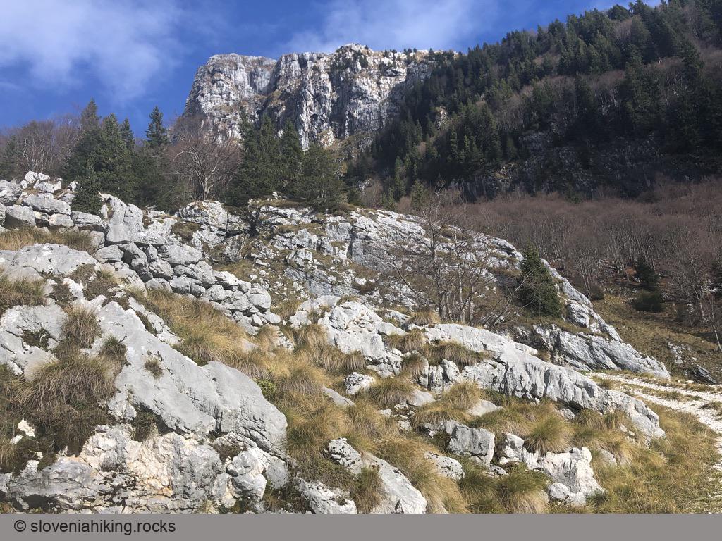
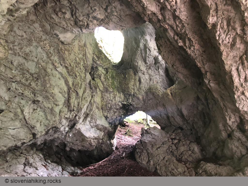
Goričica is a forgotten alp high on the slopes of Kanin massif. It’s a perfect place when you’re seeking solitude – even though a waymarked path crosses the alp, it was utterly overgrown when I was there.
Javoršček Vista Point (9 km, Δ=310 m)
Whenever I was enjoying my morning coffee at House Natura in Bovec, I wondered how to get to the giant rockslide on the northern slopes of Javoršček clearly visible across the Soča valley. It turns out it’s easy – a gravel road will get you there, and it’s clearly marked, as the rockslide created an excellent vista point with views of Rombon and Kanin.
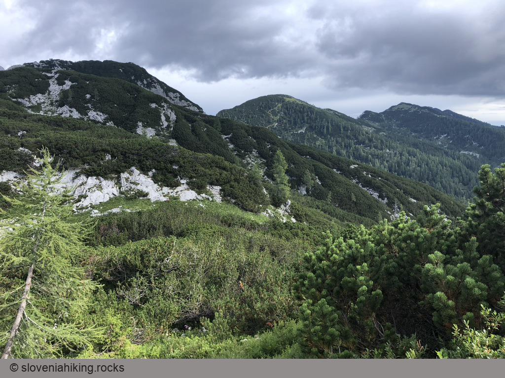
Klek Alp (21.7 km, Δ=410 m)
When the low clouds hugging the peaks above the Pokljuka plateau make hiking unpalatable, it’s time to explore the less-visited parts of this natural gem. Let’s grab a mountain bike and visit Klek Alp.
Kobilja glava (1475 m, Δ=430 m, 2.5 hours)
Kobilja glava is a grassy peak east of Tolmin with a wonderful view of southern peaks of Julian Alps. You could hike there from Planina Stador (Stador Alp), or start way lower on the road to extend the hike for another hour.
Konjščica Alp (1440 m, Δ=200 m, 2 hours)
Konjščica is a sunny alp on the western edge of the Pokljuka plateau, nestled between the Viševnik and Ablanca ridges. Getting there from Rudno Polje is an easy hike, making it a perfect half-day family trip.
Korita above Drežniške Ravne (16.9 km, Δ=560 m)
Several world-class Slovenian cyclists (including Tadej Pogačar) won the race from Kobarid to Korita above Drežniške Ravne early in their careers. Let’s see how tough that race is.
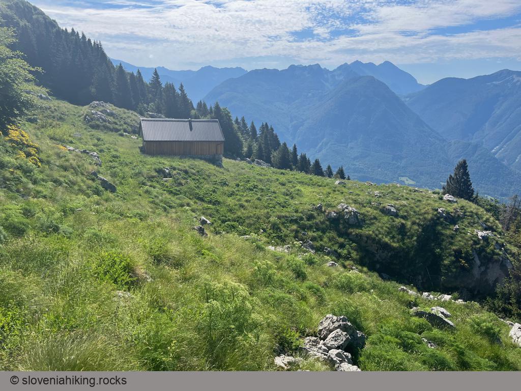
Kota 1313 (Veliki Rob) (1313 m, Δ=920 m, 5 hours)
Kota 1313 (Peak 1313) is a First World War Austrian artillery observation point high above Koritnica Valley with a fantastic view of Bovec and surrounding mountains. The easiest way to get there is via the waymarked path to Rombon (starting at Kluže fortress); start in Bovec if you’re looking for a less-crowded approach.
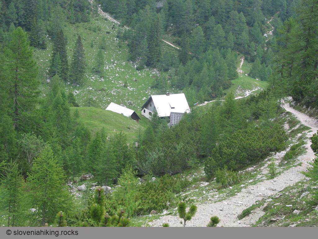
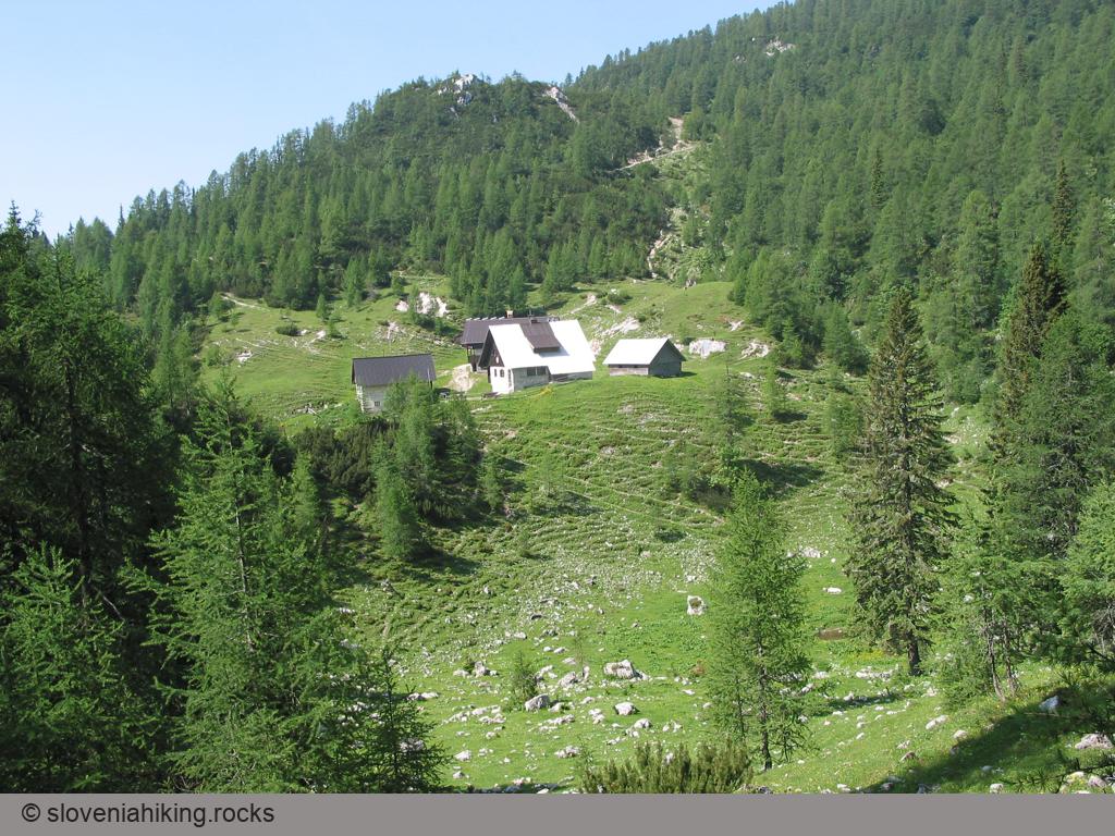
Krnica Alp (Planina Krnica) (1252 m, Δ=650 m, 4 hours)
Planina Krnica (Krnica Alp) is a rocky alp high on the southern slopes of Kanin massif with a wonderful view of the peaks across the Soča valley. If you’re stubborn enough you can get there by road; if you love long hikes start in Bovec. We decided for an interim approach.
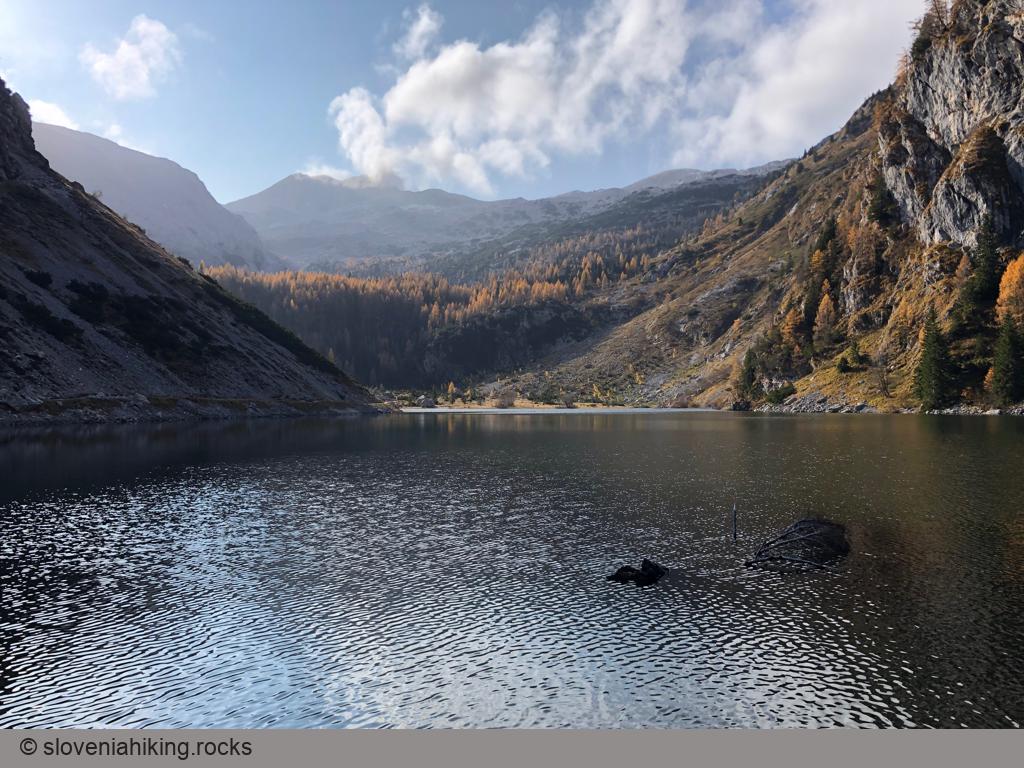
Lake Krn (Krnsko jezero) (1394 m, Δ=820 m, 4 hours)
The wonderful Lake Krn on an alp north of Mount Krn is the largest Slovenian high mountain glacial lake. I found most of the hike from Lepena thoroughly boring, but the views from the alpine meadows and the lake itself are spectacular and well worth the effort.
Lipanca from Hotel Pokljuka (1630 m, Δ=460 m, 4 hours)
If you’d like to have a long hike through Pokljuka forests combined with a whiff of an ascent, a great view, and some local food in a mountain hut, hike from Hotel Pokljuka to Lipanca.
Lipanca from Medvedova konta (1630 m, Δ=220 m, 1 hour)
The ascent from Medvedova Konta to Lipanca is the shortest way to get to this lovely alp. Use it when you want to visit the peaks above Lipanca (but be early; it’s tough to find a parking spot in the summer months).
Lipanca from Rudno Polje (1630 m, Δ=310 m, 3 hours)
The route from Rudno polje to Lipanca is an ideal family trip: it starts as a gentle walk through the mighty Pokljuka spruce forests, continues with a slight ascent on the margin of the Pokljuka plateau, becomes somewhat more diverse and ends on the fairly steep grass slopes below Lipanca.
Lipanca from Rupe (1630 m, Δ=300 m, 2 hours)
I found the hike from Rupe to Lipanca boring, and even though I’ve been visiting Lipanca for almost 20 years, I took it only once. If you’re looking for a short ascent, start in Medvedova Konta, if you want to go to Lipanca in winter, start at Zajavornik Alp.
Lipanca from Zajavornik Alp (1630 m, Δ=340 m, 2 hours)
The hike from Zajavornik Alp is one of the longer hikes to Lipanca; start in Medvedova Konta if your final goal is one of the peaks above Krma Valley. On the other hand, you can often get to Zajavornik Alp in winter when most other roads on Pokljuka are closed, and you probably won’t have any problems finding a parking spot.
Lipanca pasture (1630 m)
The route from Rudno polje to Lipanca is an ideal family trip: it starts as a gentle walk through the mighty Pokljuka spruce forests, continues with a slight ascent on the margin of the Pokljuka plateau, becomes somewhat more diverse and ends on the fairly steep grass slopes below Lipanca.
Loška Koritnica (1103 m, Δ=460 m, 4 hours)
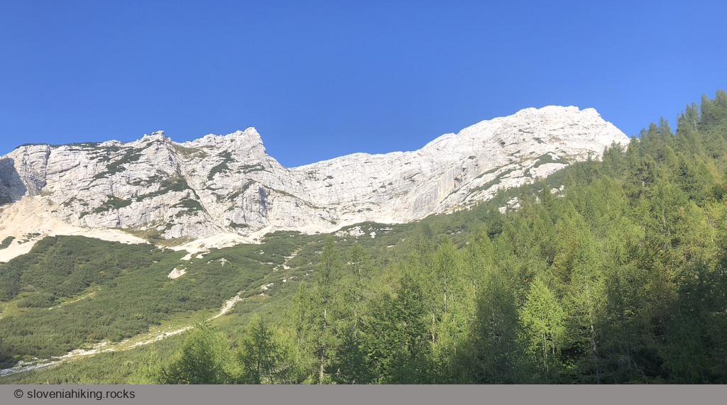
Loška Koritnica is a beautiful alpine valley surrounded by more than fifteen peaks higher than 2000 meters. We’ll explore its upper parts, from Log pod Mangartom to Koritnica’s source.
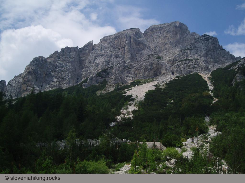
Mala Mojstrovka (2332 m, Δ=720 m, 4 hours)
Mala Mojstrovka is one of the most popular peaks in the Julian Alps. The crowds of hikers have successfully worn out the most accessible trail leading to the top, making the hike a somewhat disgusting experience. Fortunately, there are other less popular ways to the top – we’ll get there from Nad Šitom Glava.
Nad Šitom Glava (2087 m, Δ=480 m, 3 hours)
Nad Šitom Glava is an ignored peak above Vršič pass. Rock climbers love its eastern and northern rockfaces; most hikers ignore it while rushing to nearby Mala Mojstrovka. Guess what – that gives you an option to avoid the crowds; all you have to do is to take a wrong turn ;)
North Face of Debela Peč (2008 m, Δ=800 m, 6 hours)
Debela Peč is one of the most visited peaks in the Julian Alps, with processions of hikers going up and down its slopes from late spring to autumn. To avoid the crowds, you have to move just a stone’s throw away, and you’ll enjoy perfect solitude and great views of Krma valley and Triglav while climbing Debela Peč’s North Face.

Planina Golobar (1314 m, Δ=960 m, 5 hours)
Planina Golobar is one of the hidden gems of upper Soča valley. A long hike through a beech forest will reward you with magnificent views of surrounding peaks.
Pokljuka Gorge (773 m, Δ=180 m, 2 hours)
If you happen to be near Bled and love gorges, you could choose between going to Vintgar or Pokljuka Gorge. Vintgar looks better (due to the river flowing through it), but it’s usually overcrowded, resulting in a Disneyland vibe. If you prefer wild habitats, there’s no doubt: visiting Pokljuka Gorge is a must.
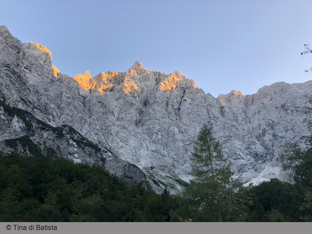
Triglav North Face (2500 m, Δ=1500 m, 10 hours)
Climbing the central part of the enormous Triglav North Face was considered one of the big problems of the Eastern Alps in the late 1800s until three Austrian climbers managed to climb the German Route (Nemška Smer) in 1907.
Today, the Triglav North Face is much more accessible. Every summer, hundreds of mountaineers climb Slovenian Route (Slovenska Smer), including foreign Prime Ministers during state visits, and dozens of roped teams climb other more accessible routes, including German and Bavarian routes.
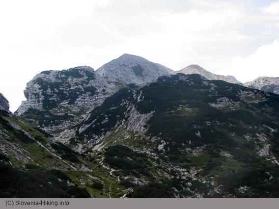
Viševnik (2050 m, Δ=700 m, 4 hours)
Viševnik is one of the highest summits in the ridge separating the Pokljuka plateau from the Krma valley, and one of the most-popular peaks above 2000m in Slovenia.
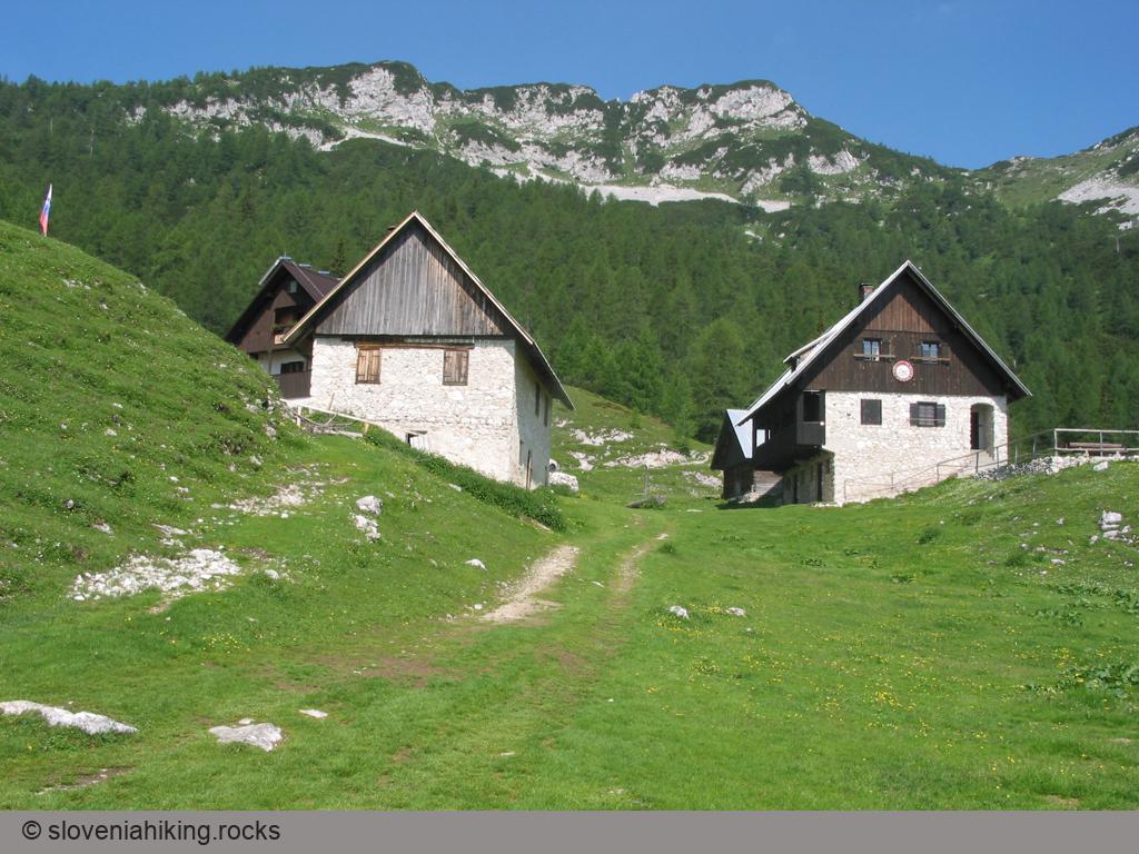
Vogel (1922 m, Δ=1000 m, 6 hours)
Vogel is certainly the best known summit of the Lower Bohinj Mountains, with a majestic view of Bohinj lake and Triglav.
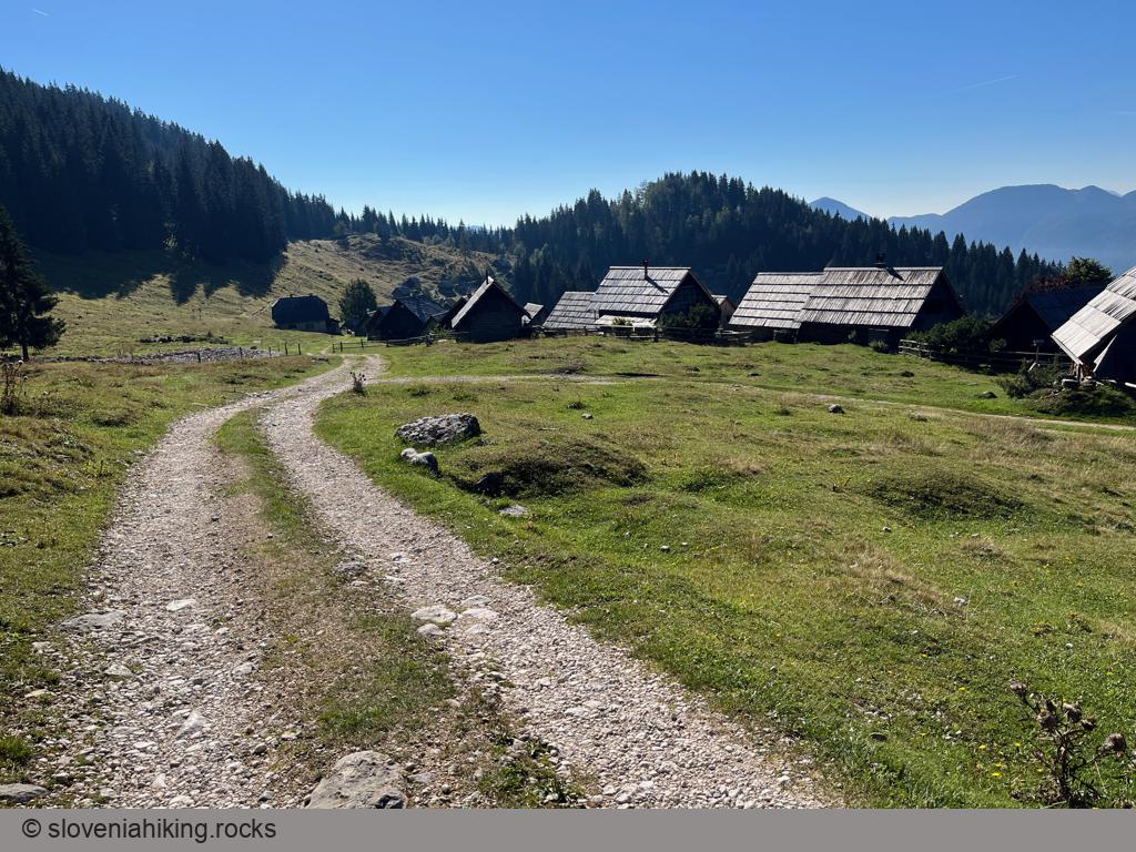
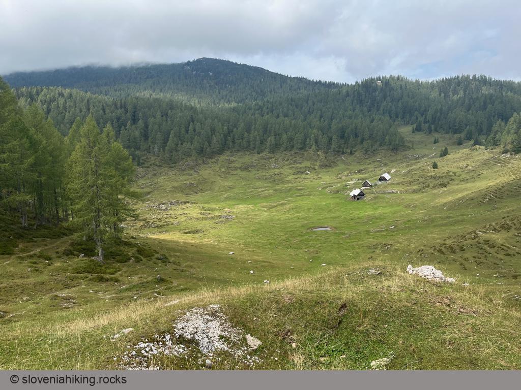
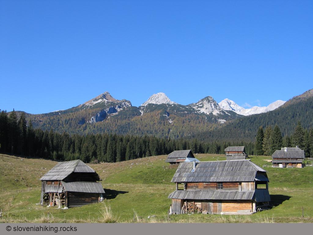
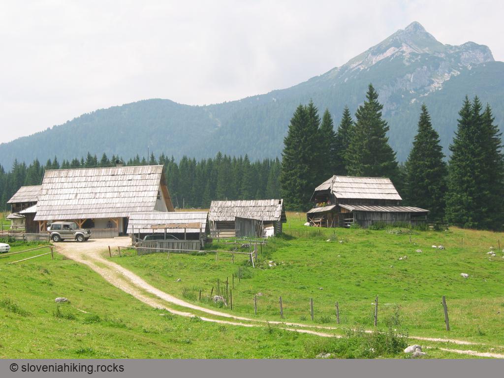
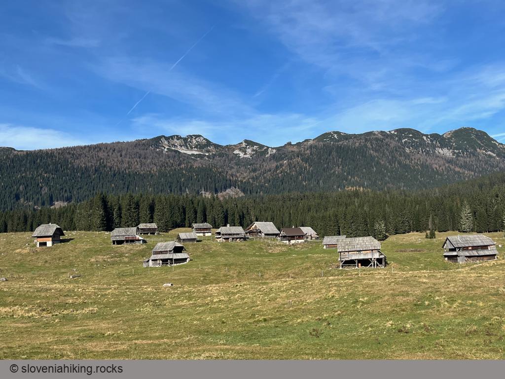
Zajamniki and Uskovnica (20.1 km, Δ=410 m)
Zajamniki is the most picturesque Pokljuka alp; Uskovnica has the best vistas. You can visit both of them and a half-dozen other alps on the southern slopes of Pokljuka in just a few hours. Let’s go!
Zajavornik Alp from Hotel Pokljuka (1291 m, Δ=100 m, 2 hours)
Zajavornik is a large sunny alp in the middle of the Pokljuka plateau with a beautiful view of the ridge between Pokljuka and Krma Valley. Hiking there from Hotel Pokljuka (former Sport Hotel) takes less than an hour on a (mostly) level gravel road, making it an ideal hike with small kids.
Other hikes in this region
- Brda near Lipanca (2008 m, Δ=590 m, 3 hours)
- Črna prst (1844 m, Δ=1040 m, 6 hours)
- Debela peč (2014 m, Δ=610 m, 4 hours)
- Jezerski Stog (2040 m, Δ=900 m, 5 hours)
- Krstenica pasture (1670 m, Δ=530 m, 3 hours)
- Lipanski vrh and Mrežce (1974 m, Δ=350 m, 2 hours)
- Mali Draški vrh (2132 m, Δ=800 m, 5 hours)
- Pastures around Vogel (1700 m, Δ=350 m, 3 hours)
- Razor pasture (1315 m, Δ=420 m, 2.5 hours)
- Sleme (2077 m, Δ=1436 m, 6 hours)
- Stenar (2501 m, Δ=1500 m, 8 hours)
- Tamar (1106 m, Δ=150 m, 2 hours)
- Tosc from Rudno polje (2275 m, Δ=1000 m, 7.5 hours)
- Uskovnica in winter (1154 m, Δ=608 m, 5 hours)
- Veliki Draški vrh (2243 m, Δ=900 m, 5 hours)
- Vodični vrh (1621 m, Δ=570 m, 4 hours)
- Vogar (1054 m, Δ=480 m, 3 hours)
Coming Soon
- Planina Zapleč and Zaprikraj
- Krasji urh from Drežniške Ravne
- Vrata and Oblo Brdo from Planina Zapleč
- Planina Kuhinja from Drežnica
- Kozjak and Curk waterfalls
- Voje (on a bike)
- Vogar (with a bike)
- Uskovnica from Srednja Vas
- Planina Klek