Hiking in Slovenia » Julian Alps » Črna prst
At a Glance
- Altitude
- 1844 m
- Average time
- 6 h
- Elevation gain
- 1040 m
- Coordinates
-
Start: 46.258675,13.959392
Peak: 46.231157,13.931631
We don't have an English description of this hike yet , but you might want to try your luck with Google Translate. Also, it would be great if you would take the hike and contribute a description. Thank you!
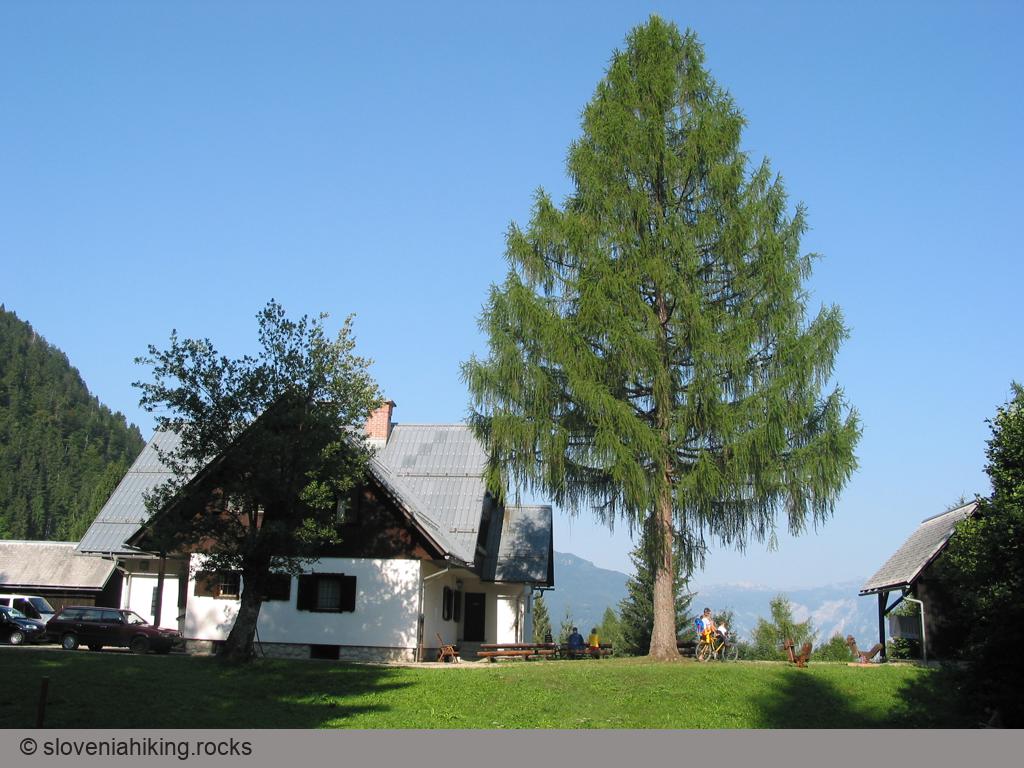
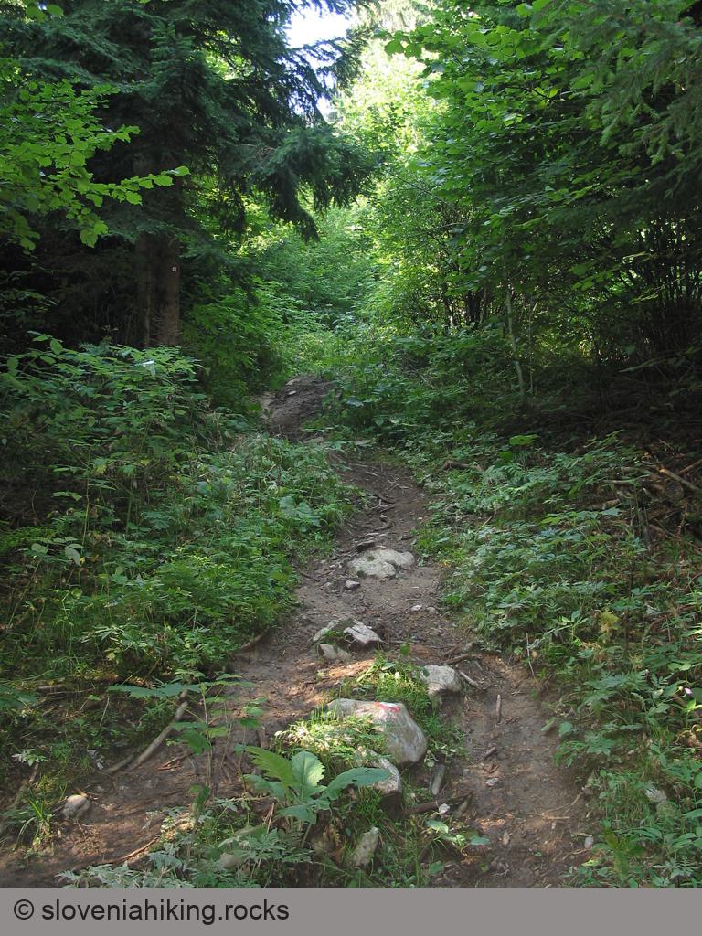
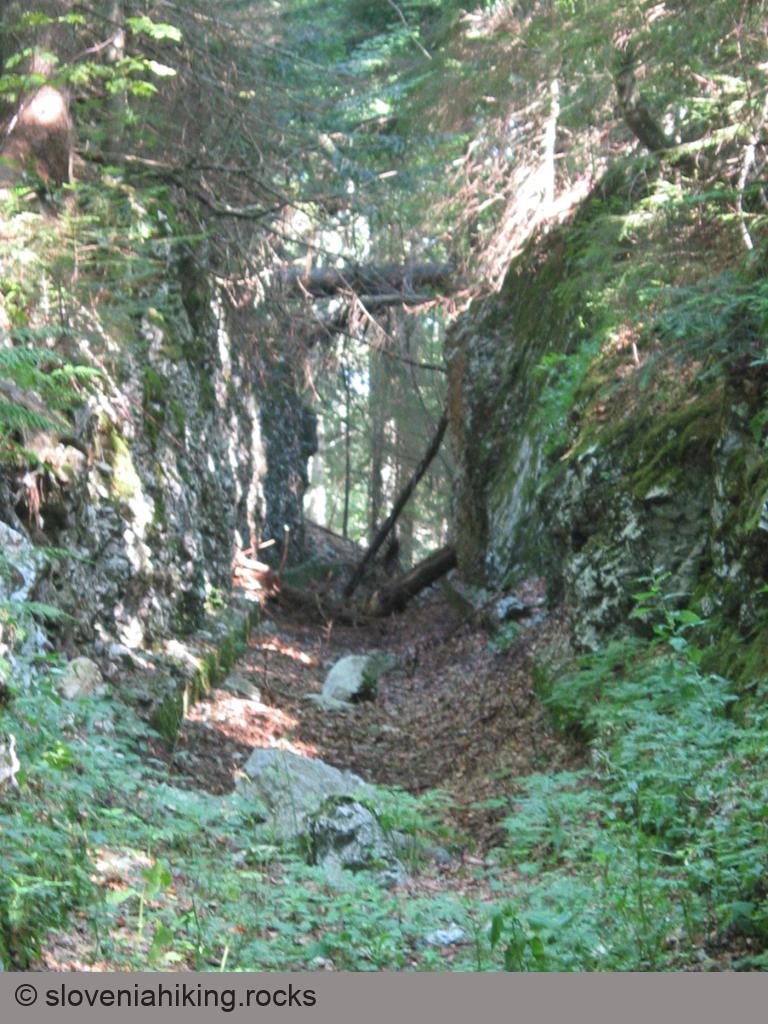
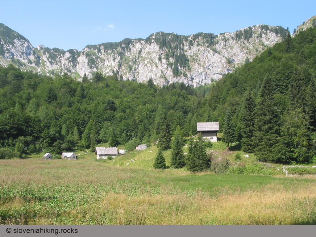
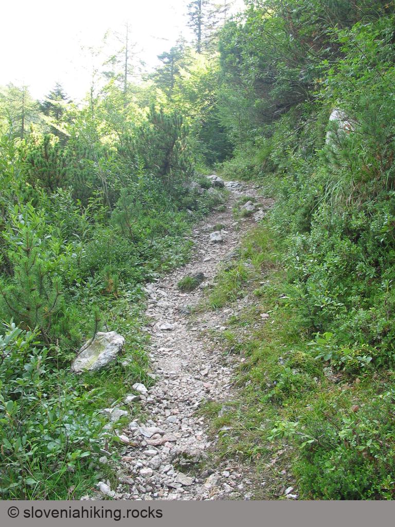
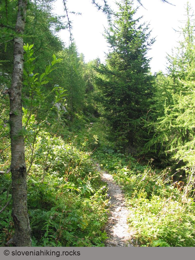
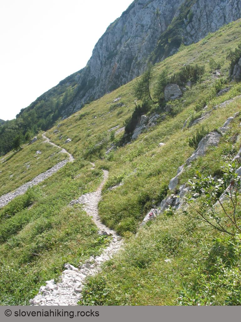
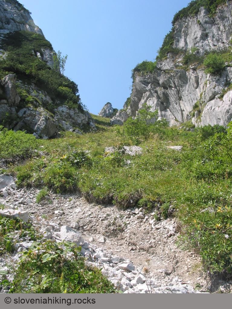
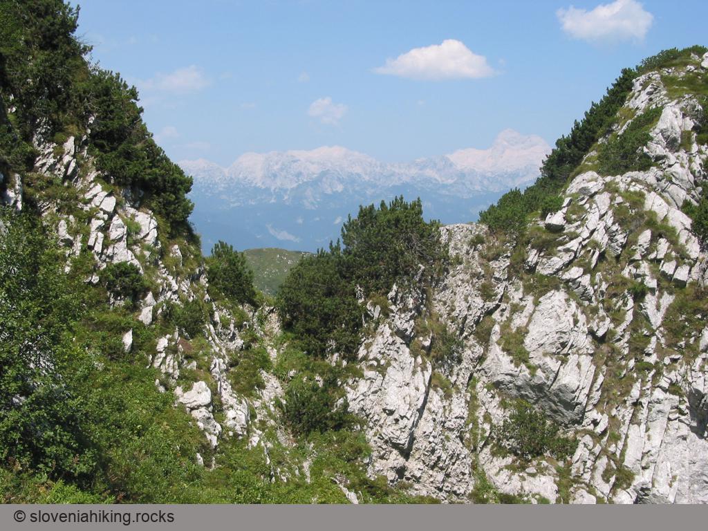
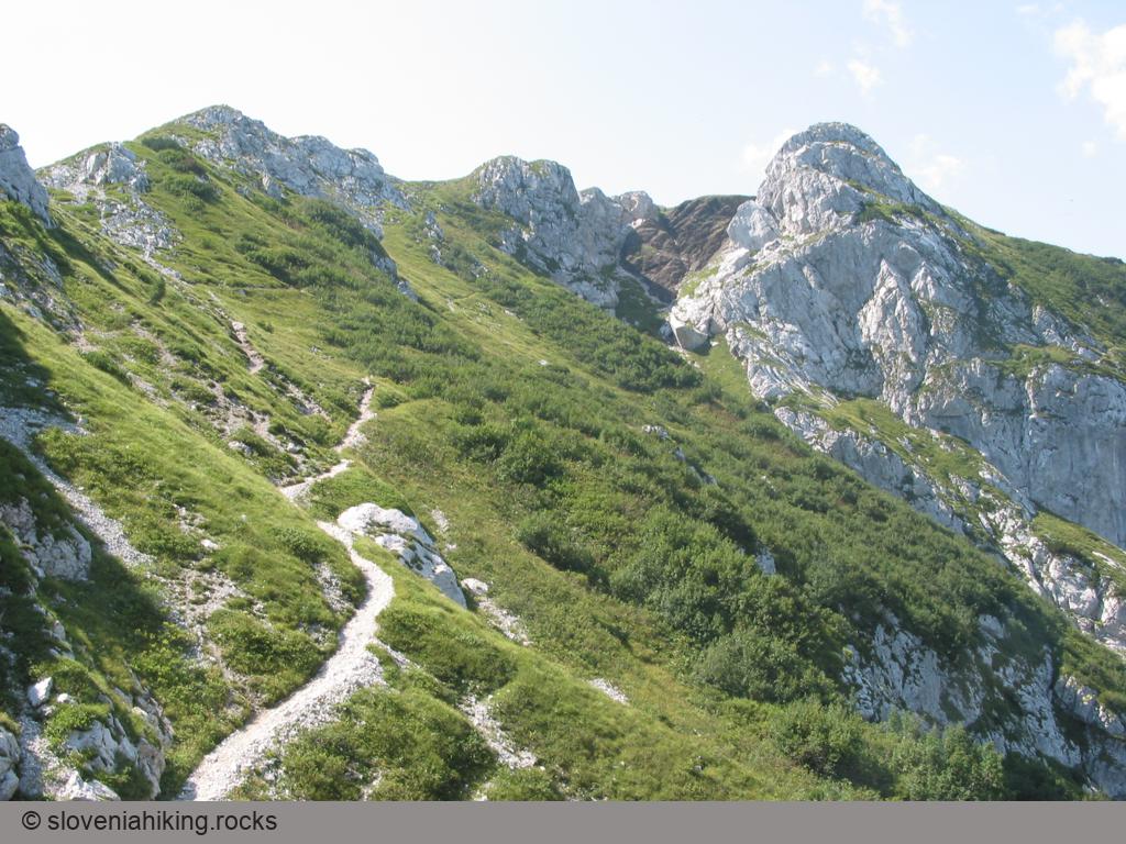
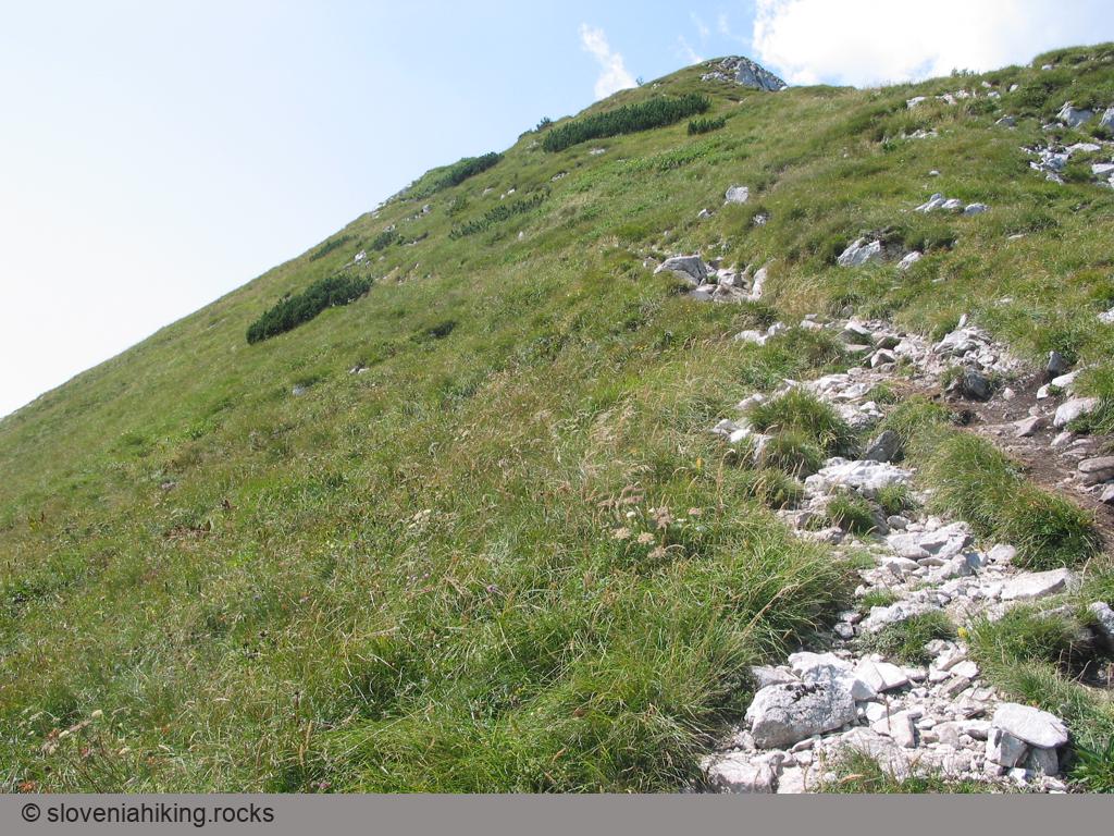
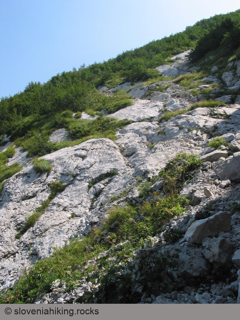
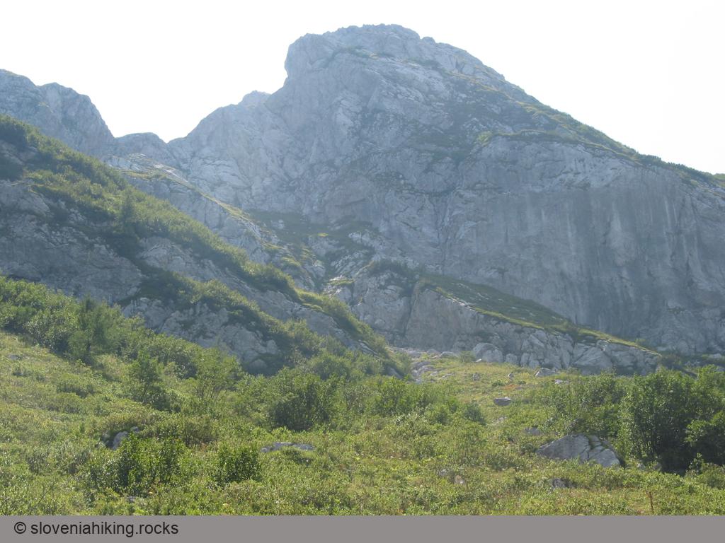
Photo Gallery
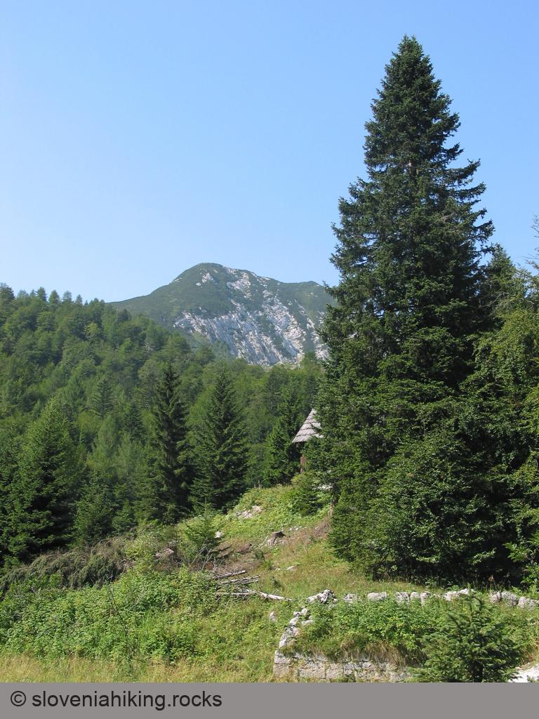


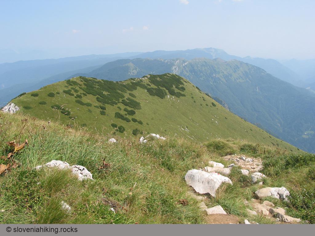
View from the Top

Map of the Route
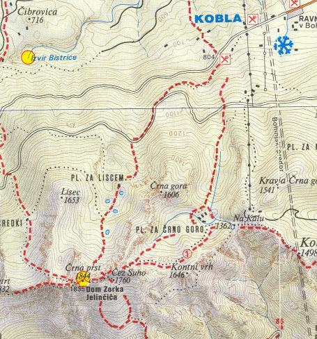
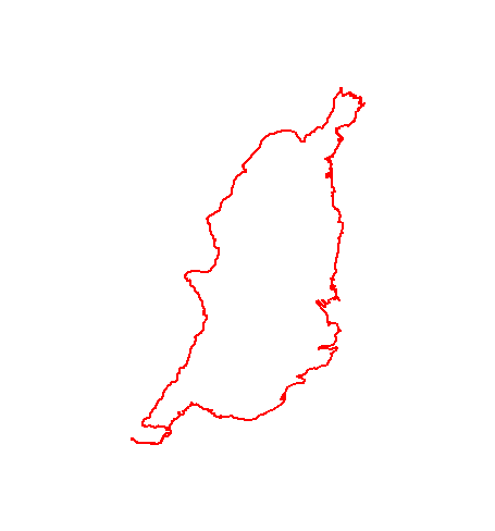
The map shows the path we took as recorded by the GPS receiver. Never trust a GPS track wholeheartedly; rely on your senses and maps.
Altitude profile
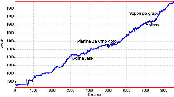
The altitude recorded by a GPS receiver is even less reliable than the position, and might differ significantly from the height above sea-level as shown on maps.