Biking in Slovenia » Julian Alps » Drežnica
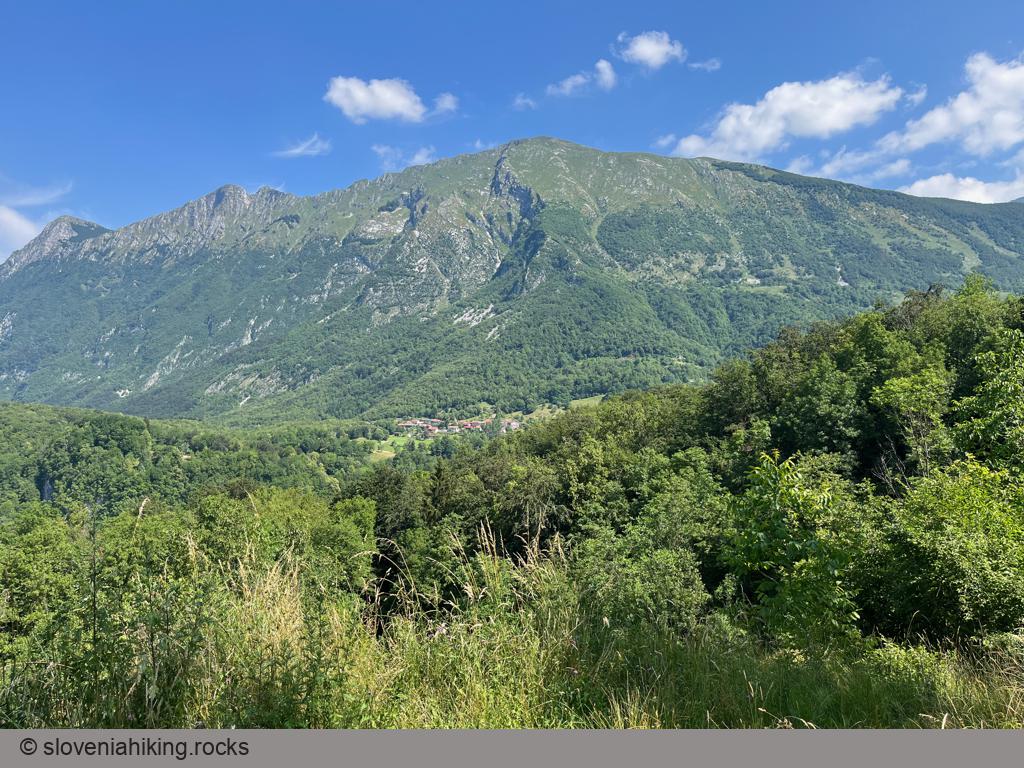
Drežnica is a small village high above Soča valley, snuggled onto the steep slopes of Krn. It offers magnificent views of the surrounding peaks, and it’s not hard to get there – it’s just five kilometers away from Kobarid.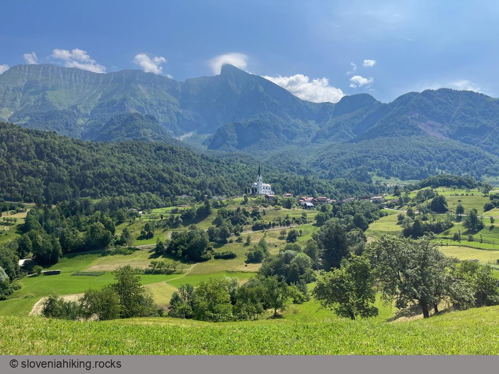
At a Glance
- Difficulty
- Somewhat steep asphalt road
- Altitude
- 540 m
- Average time
- 1 h
- Elevation gain
- 300 m
- Distance
- 9.6 km
- Coordinates
-
Start: 46.249479,13.587623
Peak: 46.256846,13.614341
Getting There
- You could start in Kobarid or park at a large parking lot at the start of the Kozjak Waterfall trail
- Follow the ascending asphalt road to reach Drežnica
- Enjoy the view and delicious local food at Jelkin Hram
Map of the Route
The map shows the path we took as recorded by the GPS receiver. Never trust a GPS track wholeheartedly; rely on your senses and maps.