Biking in Slovenia » Primorska » Mrzli Vrh (Matajur)
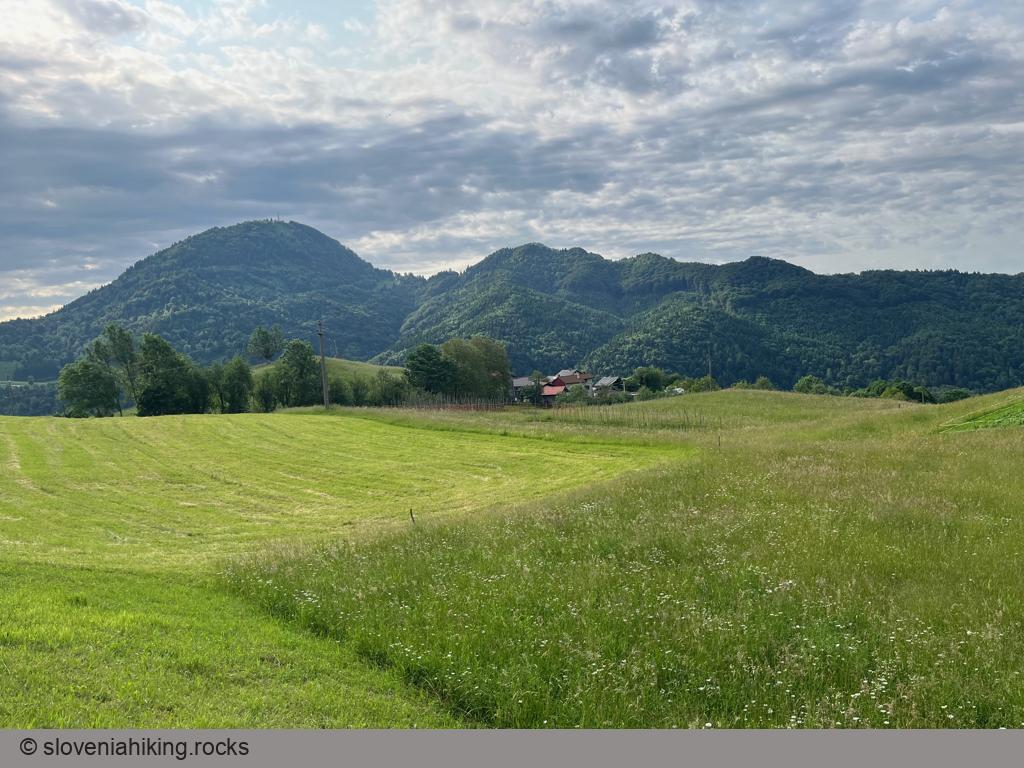
Mrzli Vrh is the southernmost peak in the Matajur ridge, easy to reach with a mountain bike on a gravel road toward Idrska planina
At a Glance
- Difficulty
- Rocky gravel road
- Altitude
- 1358 m
- Average time
- 2 h
- Elevation gain
- 704 m
- Distance
- 19.1 km
- Coordinates
-
Start: 46.203043,13.599650
Peak: 46.209679,13.562309
Getting There
I’m assuming you’re not interested in the boring asphalt road from Idrsko to Livek, so we’ll start in Livek. Even better, spend a few days at Nebesa chalets (and rent an e-bike there).
- From the parking lot at the edge of the village, follow the signs toward Matajur/Ajsa. Alternatively, you could drive to Ajsa (another parking lot, 200 m higher)
- In Ajsa, follow the signs for the parking lot/Matajur, then continue on the asphalt road that quickly turns into a gravel one.
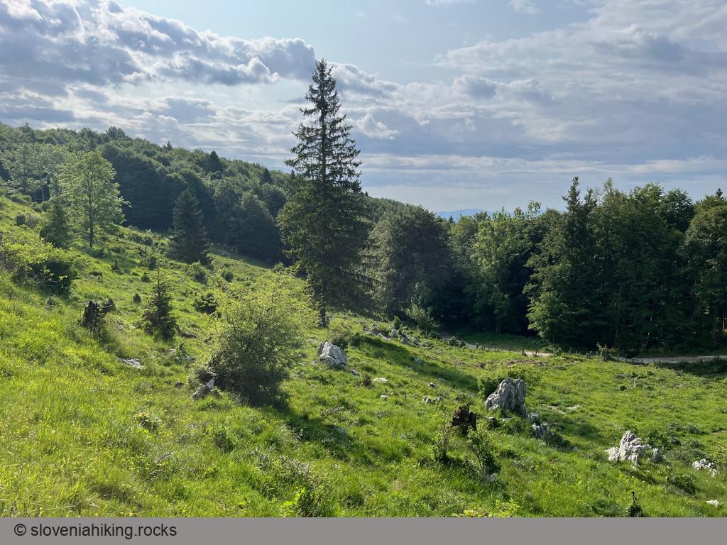
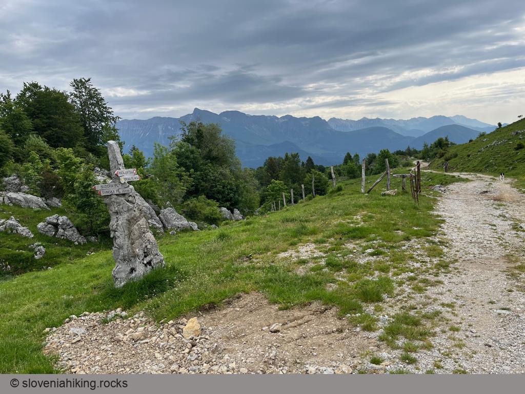
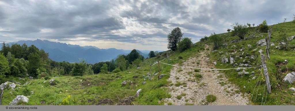
- The gravel road becomes rockier as you progress and eventually brings you to the first meadows around Mrzli Vrh.
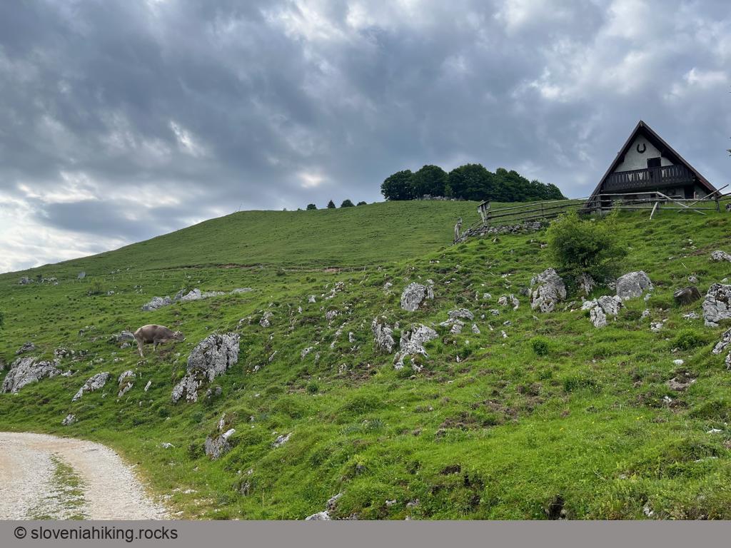
- When you reach the signs for Mrzli Vrh, leave the bike and hike to the top1.
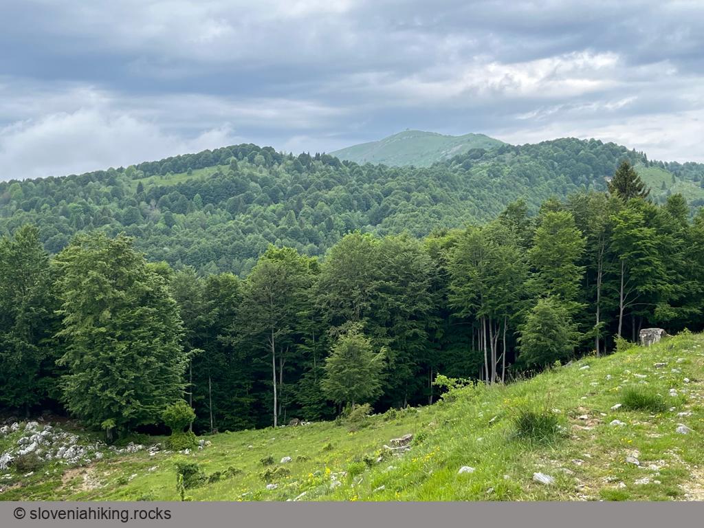
If you feel like exploring the surroundings, continue on the gravel road and follow the signs for Idrska Planina (alp) or Svinska Planina. Alternatively, take a road descending toward the Italian border (instead of going up toward Idrska Planina), and eventually you’ll get pretty close to the Matajur mountaintop.
I used the same road to return to Livek; if you’re of a firm downhill persuasion, try the marked dirt trail from Idrska Planina toward Livek (keeping in mind that you should drive slowly and be nice to the hikers).
-
I didn’t do that because I didn’t have a bike lock with me – not that I would need it, but it was a rented bike 🤷♂️ ↩︎
Map of the Route
The map shows the path we took as recorded by the GPS receiver. Never trust a GPS track wholeheartedly; rely on your senses and maps.