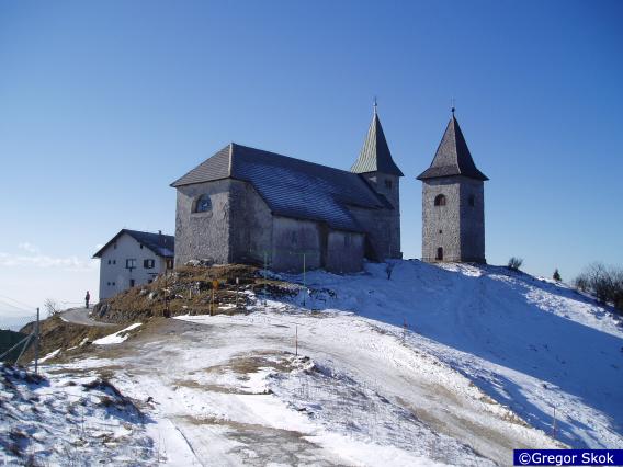
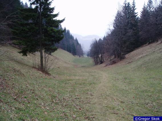
Hiking in Slovenia » Sava Hills » Kum » Kum from Trbovlje
At a Glance
- Altitude
- 1220 m
- Average time
- 6.5 h
- Elevation gain
- 1010 m
- Coordinates
-
Peak: 46.087612,15.072366
We don't have an English description of this hike yet , but you might want to try your luck with Google Translate. Also, it would be great if you would take the hike and contribute a description. Thank you!