Biking in Slovenia » Vipava Valley » Vipavska Brda (Vipava Hills) from Podnanos
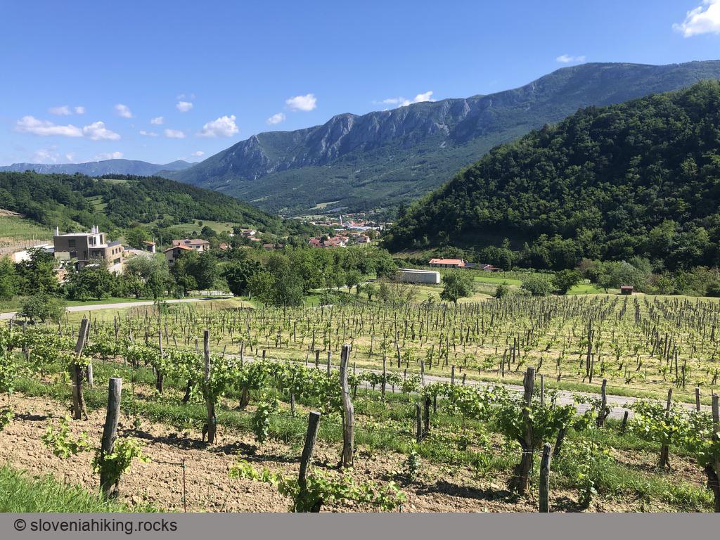
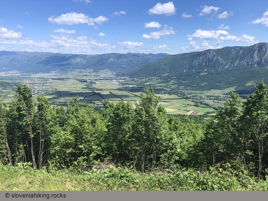
I’ve been watching the tiny church of Sv. Socerb (Saint Servulus) high above Vipava Valley for over a decade as I was climbing in Gradiška Tura. I’ve heard of a dirt track leading from it back to the valley years ago, but it took me a long while to go and find it. You might want to do it sooner than that and enjoy the spectacular views of the Vipava Valley and Nanos on the way.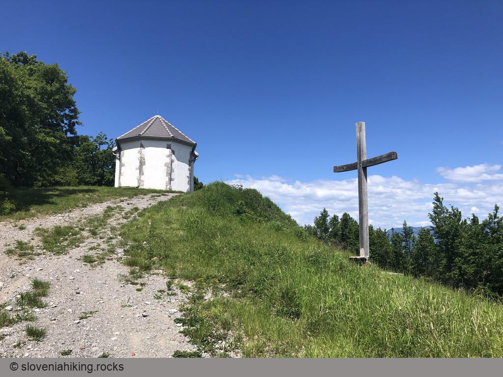
At a Glance
- Difficulty
- Reasonably steep ascent (~10 %) on asphalt roads. Gravel road to the church of Sv. Socerb. Downhill dirt track toward Podraga.
- Altitude
- 580 m
- Average time
- 2.5 h
- Elevation gain
- 560 m
- Distance
- 17.3 km
- Coordinates
-
Start: 45.797329,13.972231
In a Nutshell
- There’s a large parking lot in the center of Podnanos. If that one’s full, park next to the cemetery at the edge of the village;
- Follow signs for Vrabče.
Once you reach Vrabče, you have three options:
- Turn right toward Štjak/Štanjel (probably the best idea if you’re going for an extended tour through Manče)
- Visit the church in Tabor — the view is well worth the extra effort. Follow the signs for Jakovce.
- Take a short detour through Sela and Razguri and explore the ruins of old water mills below Stomaž. Follow the signs for Sežana in Vrabče and the signs for Sela/Razguri after that. Try to understand the info panel next to the junction toward Stomaž – the local tourist office doesn’t believe a foreigner could get this far into the hills. Prove them wrong ;)
You could return to Podnanos via the asphalt road, do a much longer tour through Štjak, Trebižani, and Manče, or test your downhill skills.
Should you decide to do the latter:
- A few hundred meters after the junction with the road toward Razguri, take a gravel road north toward Sv. Socerb (barely visible wooden sign).
- Follow the gravel road till you reach the church. Relax and enjoy the view.
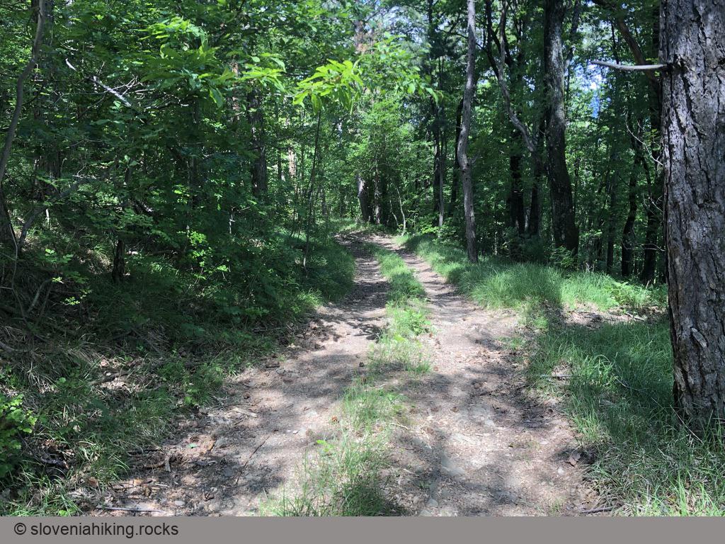
- The dirt track forks off the gravel road a few meters below the church (at the first right curve).
- Follow the most apparent descending track, and you’ll eventually reach Podraga. I used OpenCycleMap to check my position once or twice.
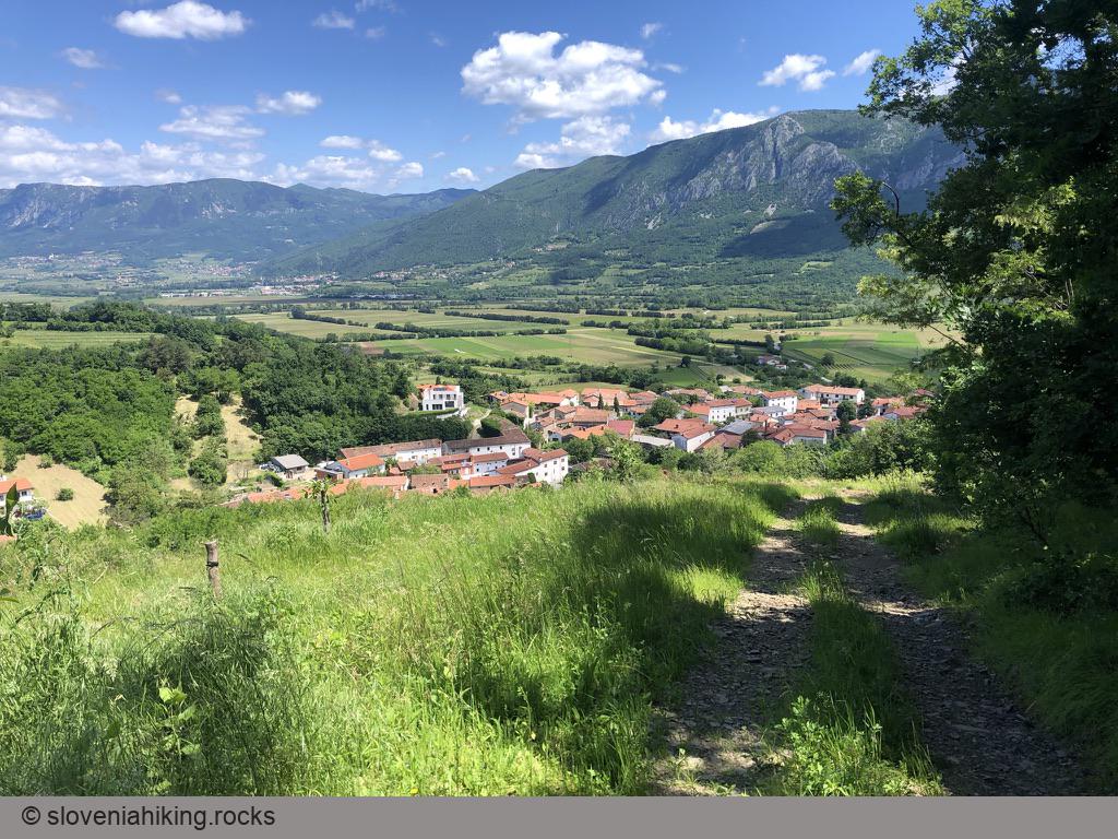
- In Podraga, turn right at the tiny chapel in the center of the village to return to Podnanos.
Map of the Route
The map shows the path we took as recorded by the GPS receiver. Never trust a GPS track wholeheartedly; rely on your senses and maps.