Hiking in Slovenia » Notranjska » Polhograjska Grmada » Polhograjska Grmada through Ravnek
At a Glance
- Altitude
- 898 m
- Average time
- 3 h
- Elevation gain
- 520 m
- Coordinates
-
Start: 46.065069,14.316842
Peak: 46.083811,14.332903
We don't have an English description of this hike yet , but you might want to try your luck with Google Translate. Also, it would be great if you would take the hike and contribute a description. Thank you!
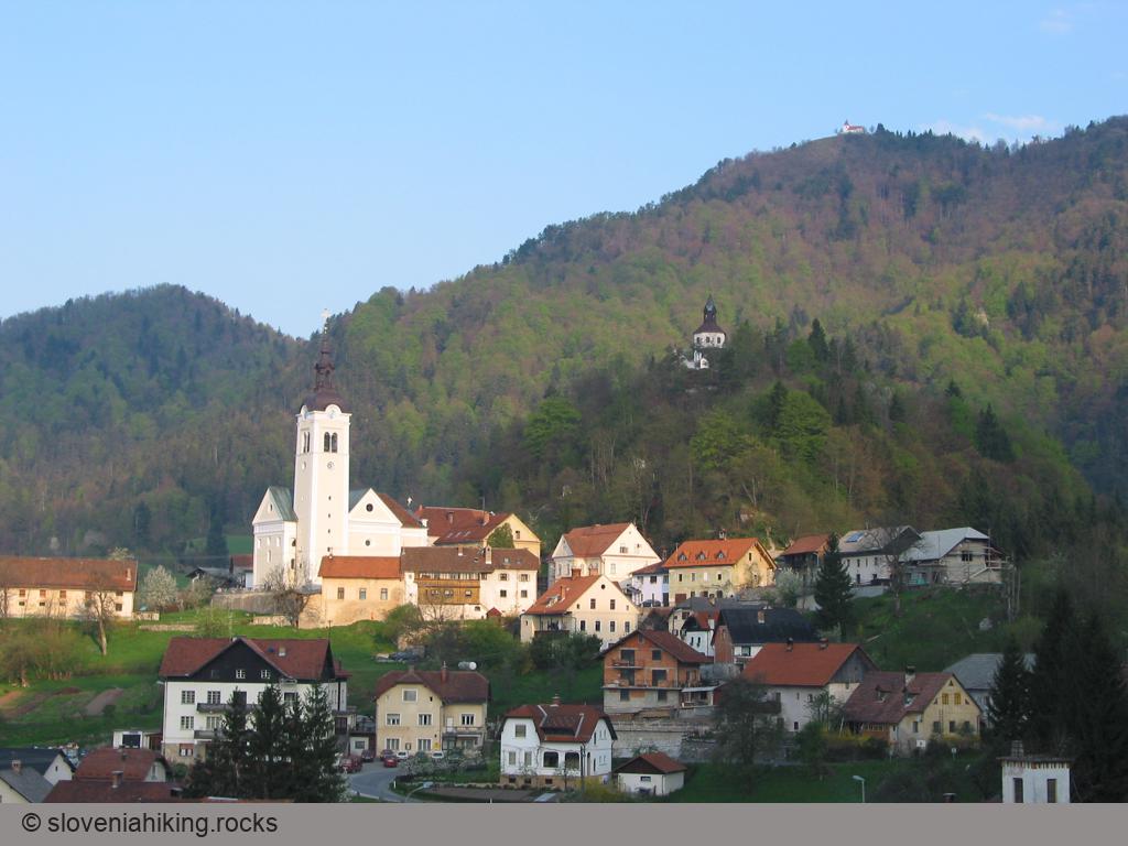
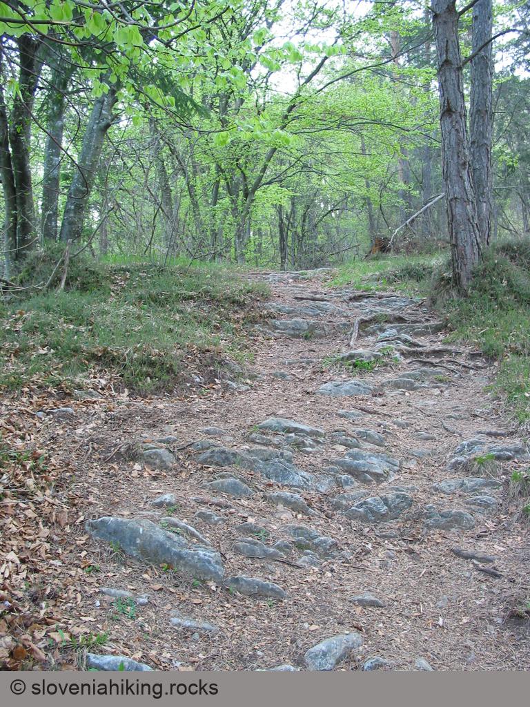
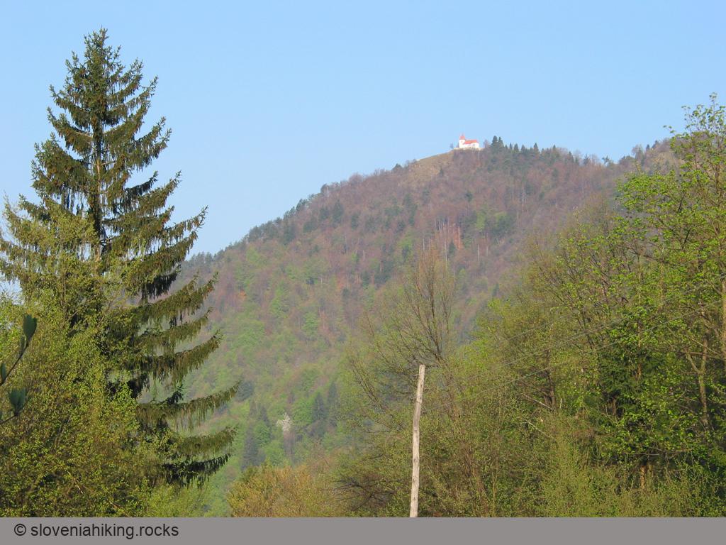
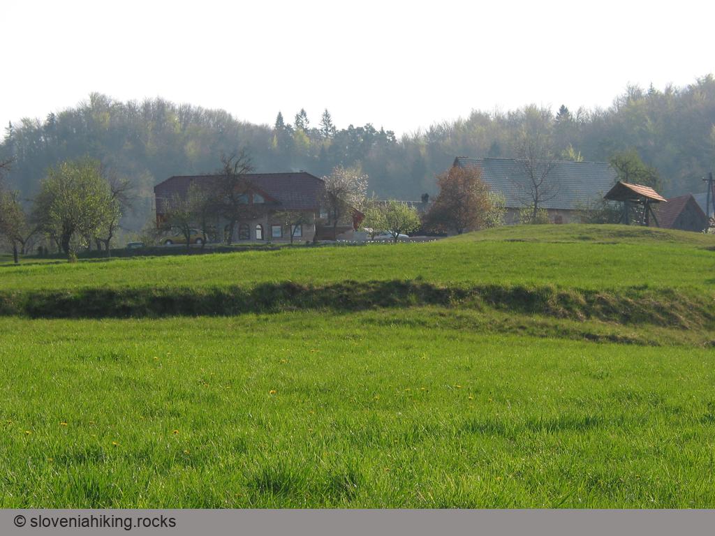
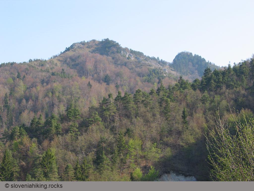
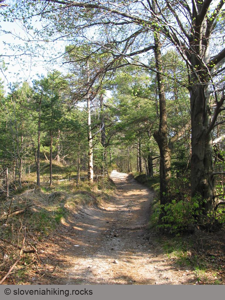
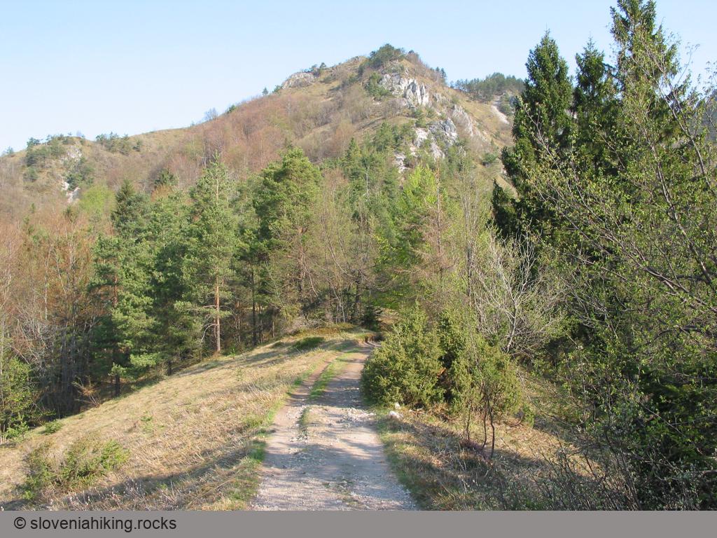
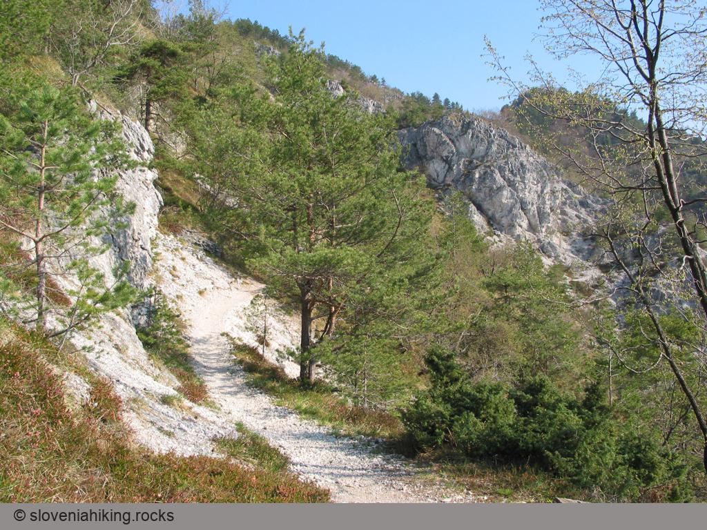
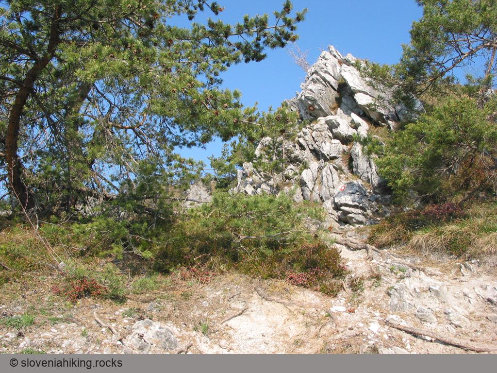
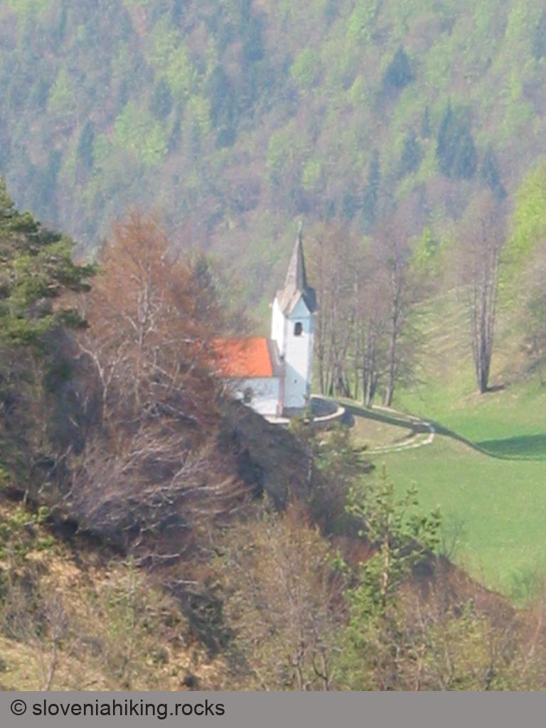
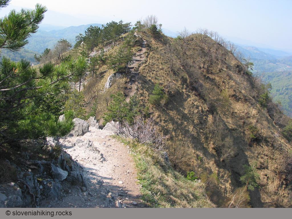
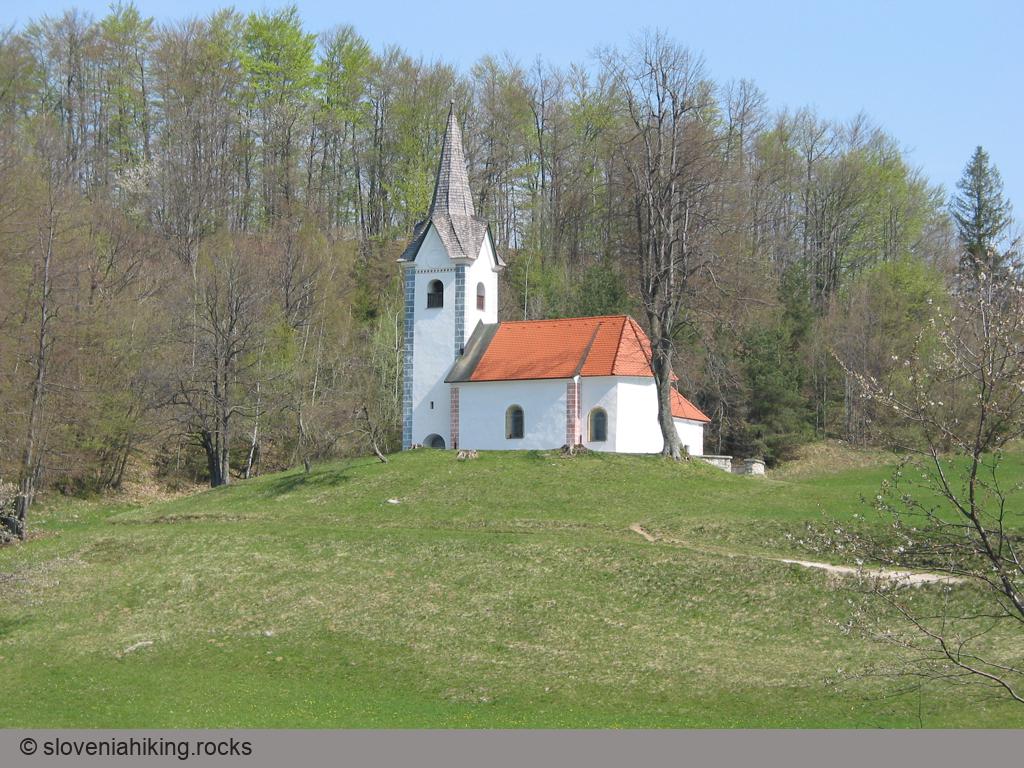
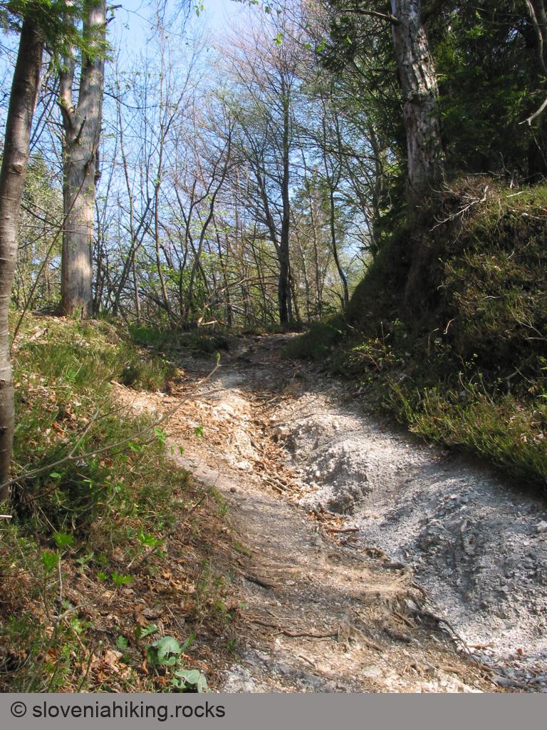
Photo Gallery

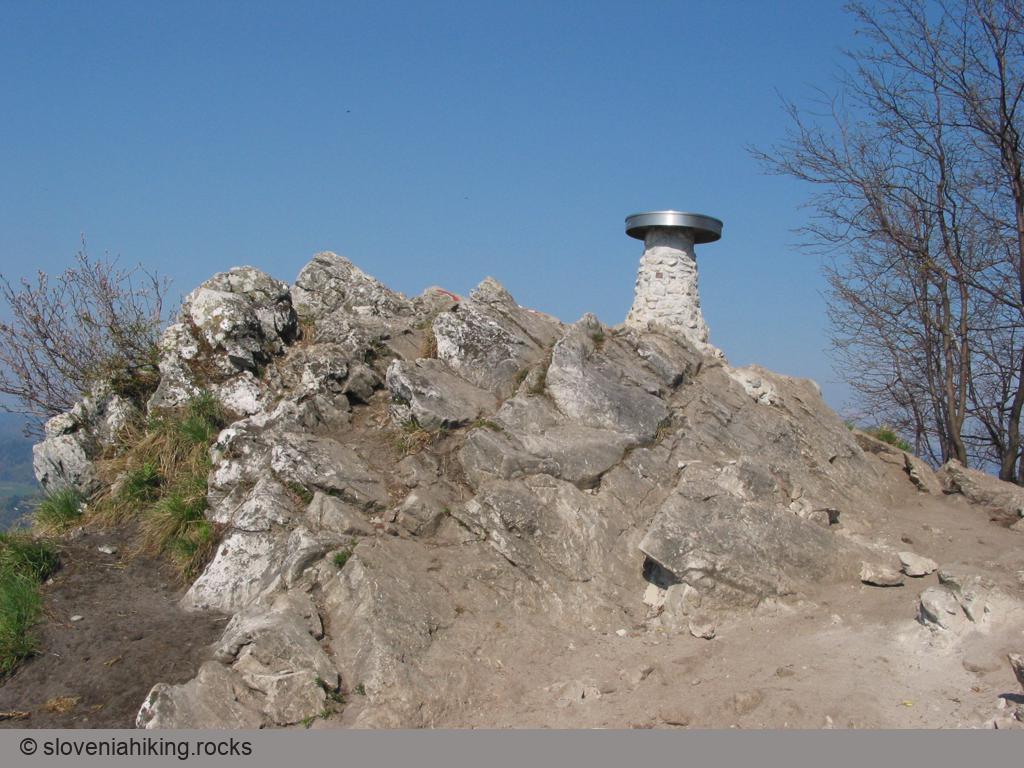
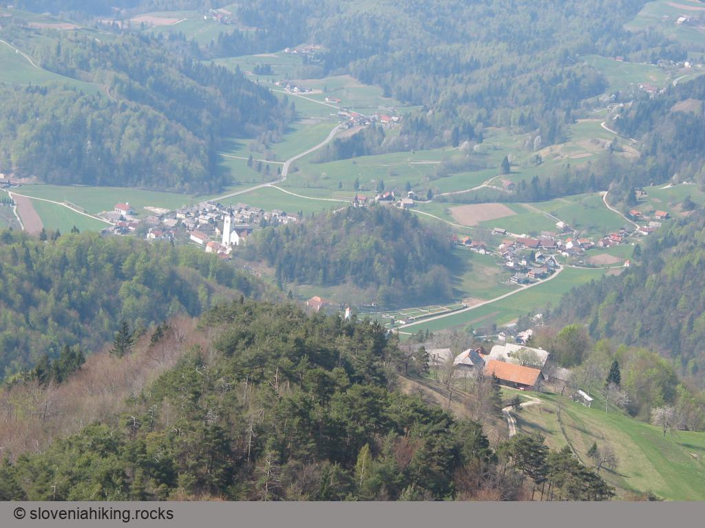
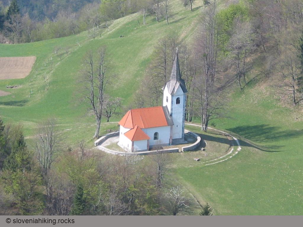
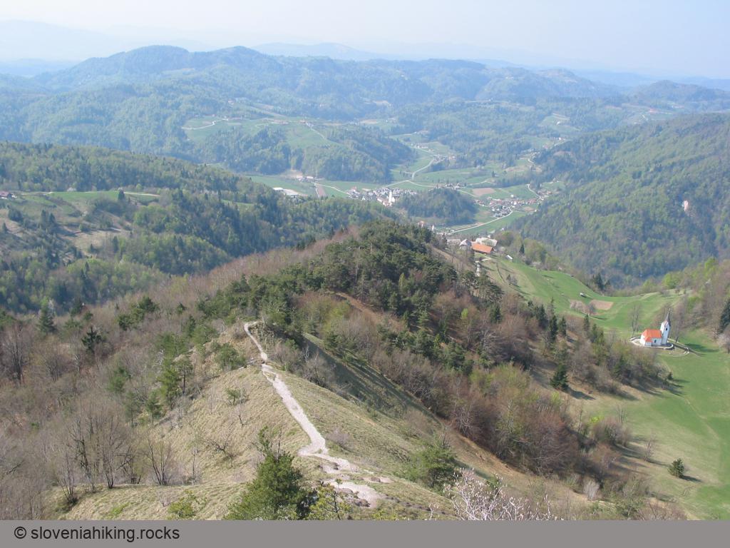
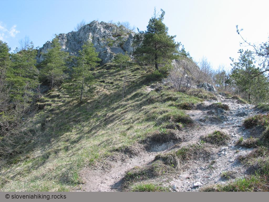
View from the Top

Map of the Route
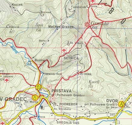
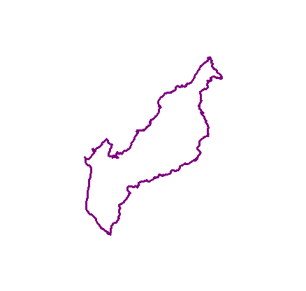
The map shows the path we took as recorded by the GPS receiver. Never trust a GPS track wholeheartedly; rely on your senses and maps.