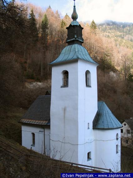
Hiking in Slovenia » Kamnik-Savinja Alps » Veliki Rogatec from Gornji Grad
At a Glance
- Altitude
- 1577 m
- Average time
- 6 h
- Elevation gain
- 1000 m
- Coordinates
-
Peak: 46.319868,14.741078
We don't have an English description of this hike yet , but you might want to try your luck with Google Translate. Also, it would be great if you would take the hike and contribute a description. Thank you!
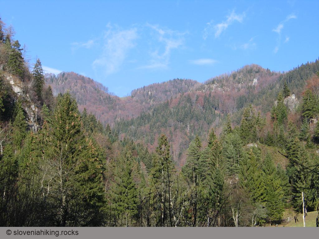
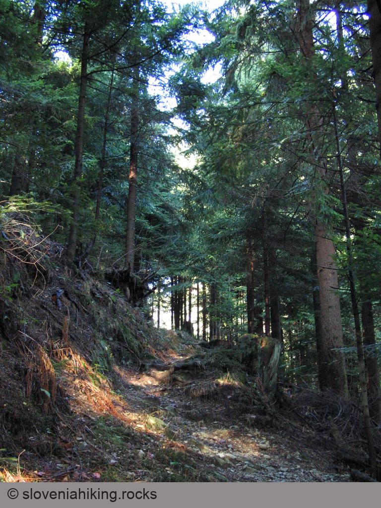
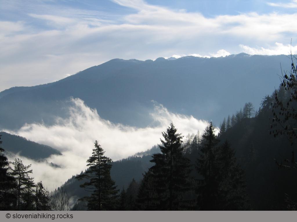
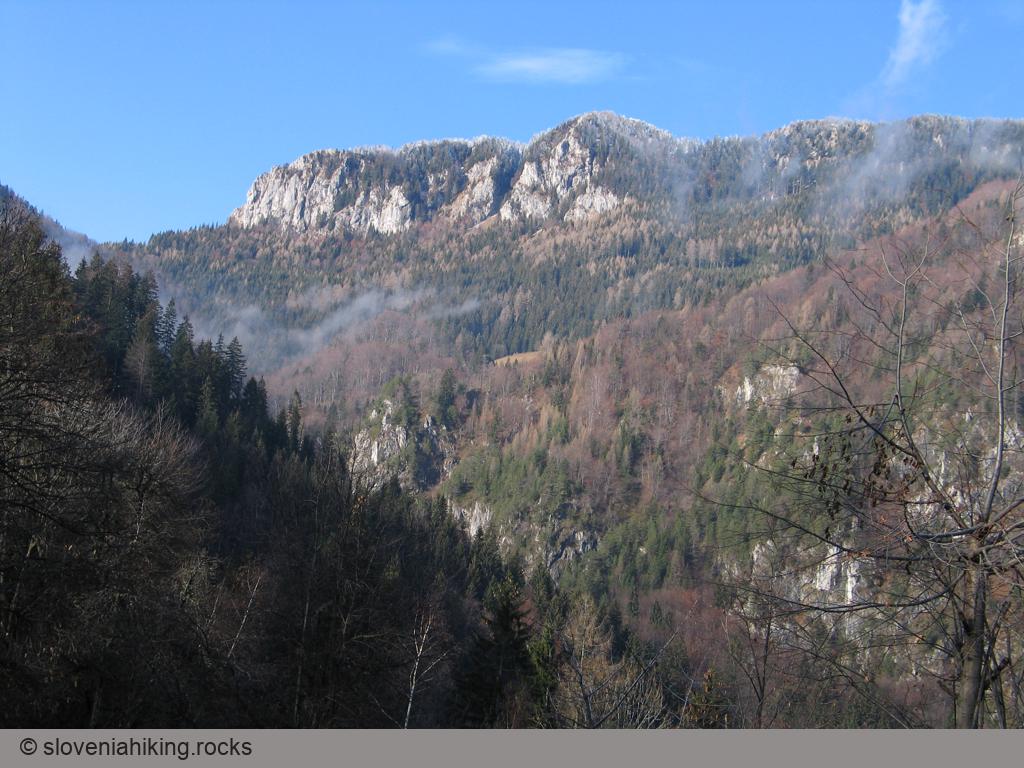
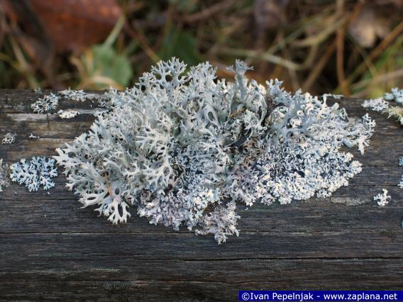
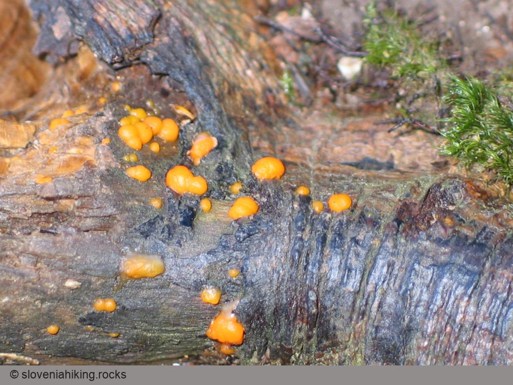
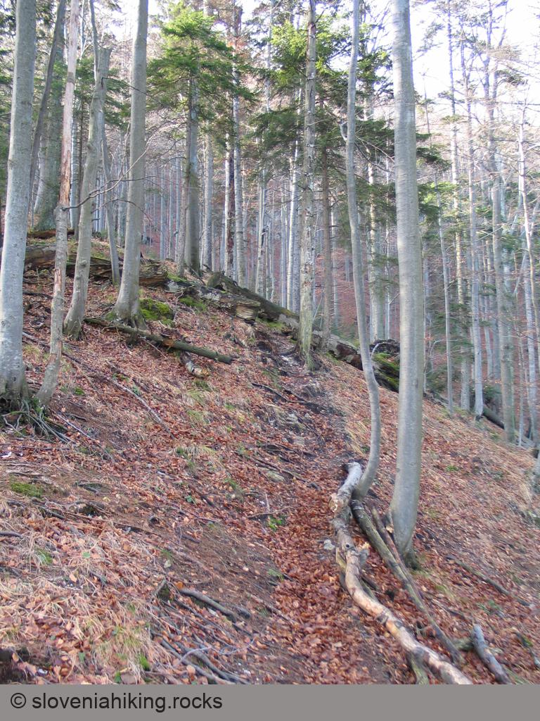
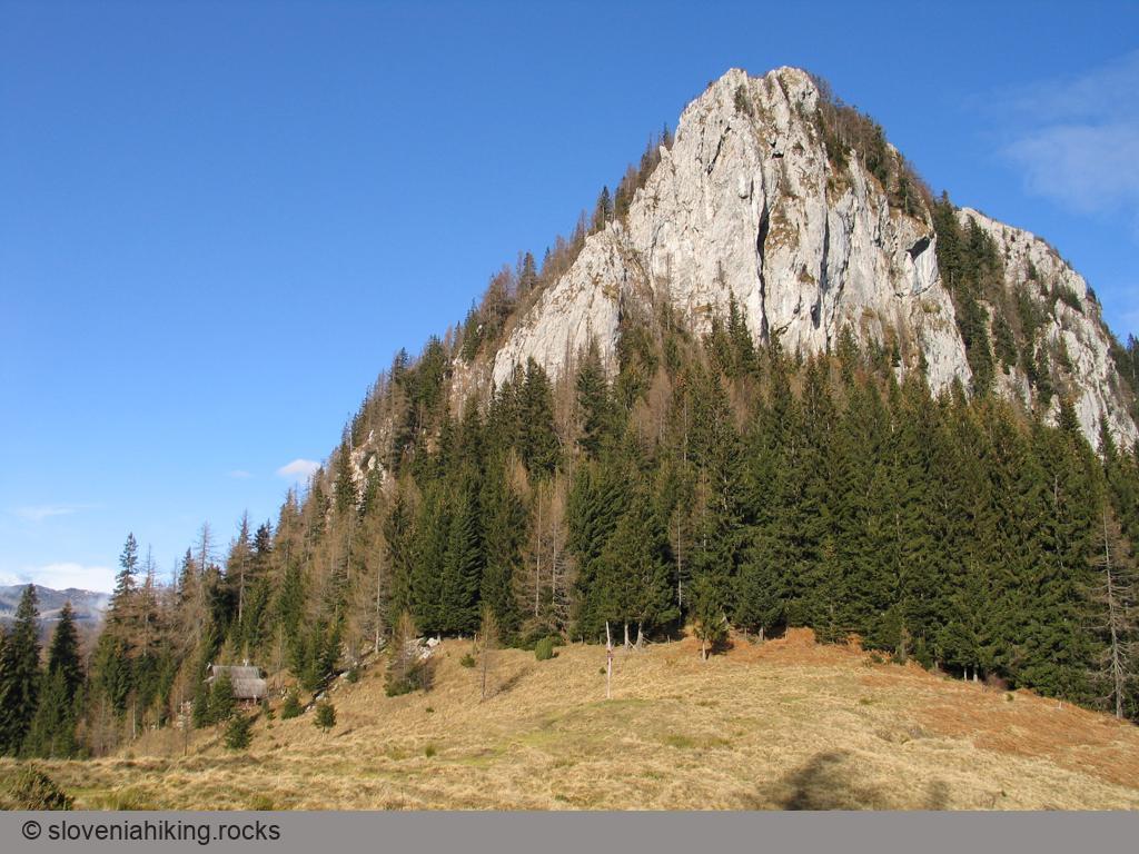
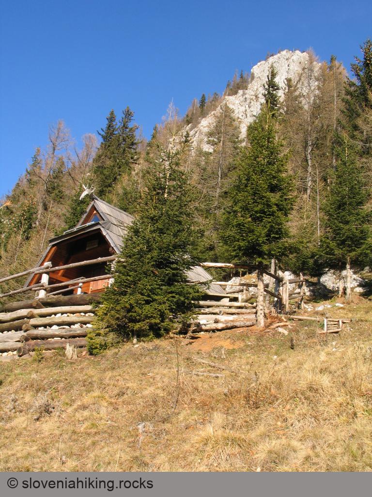
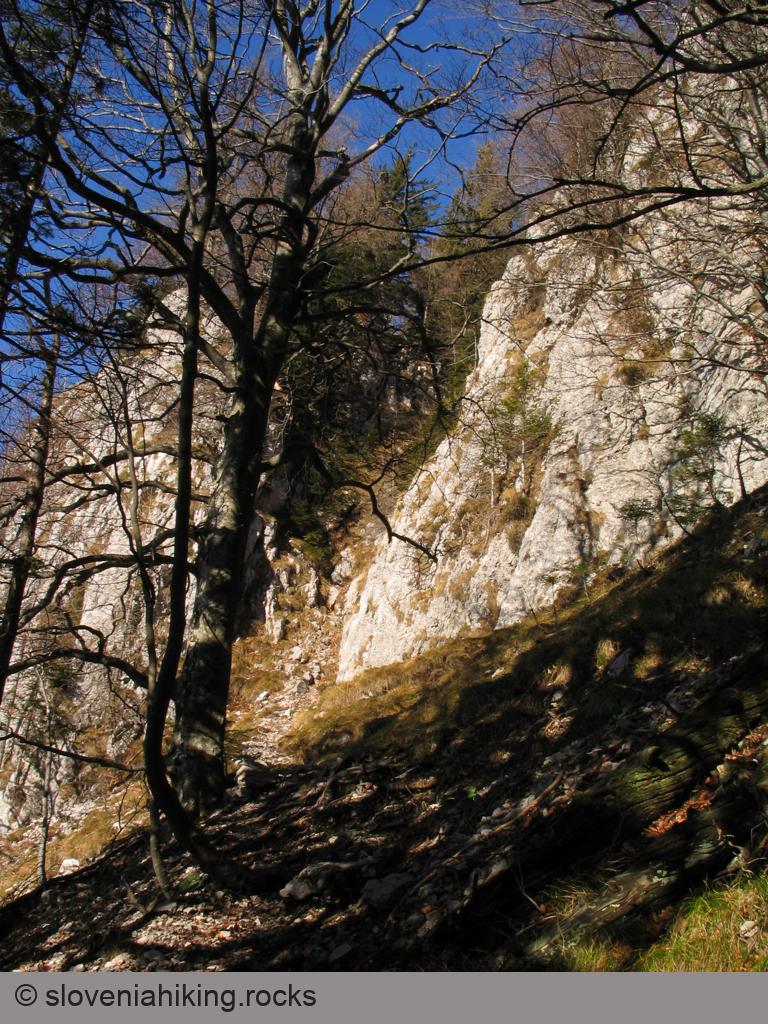
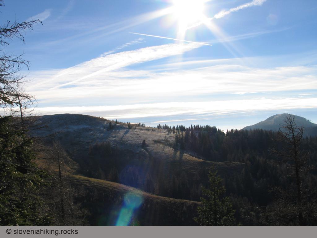
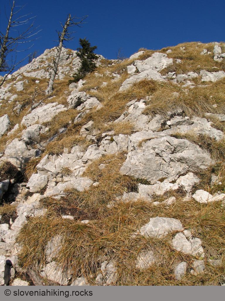
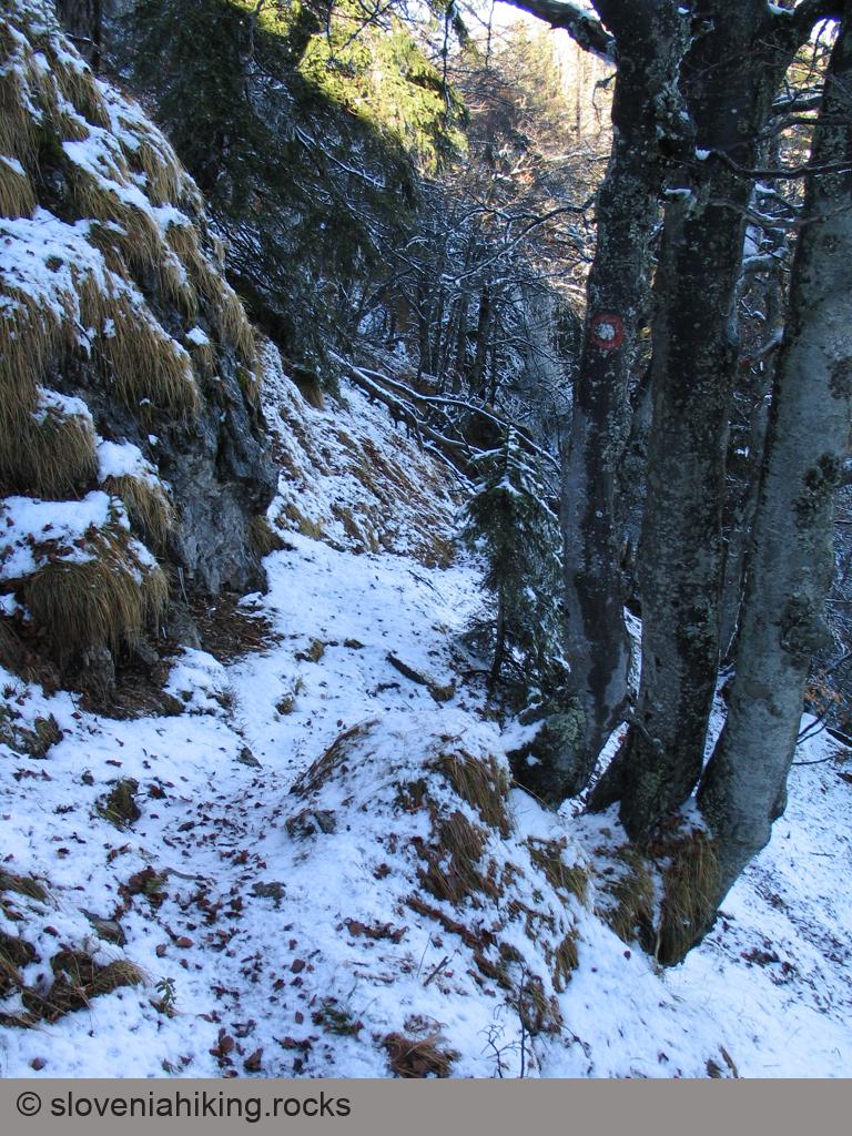
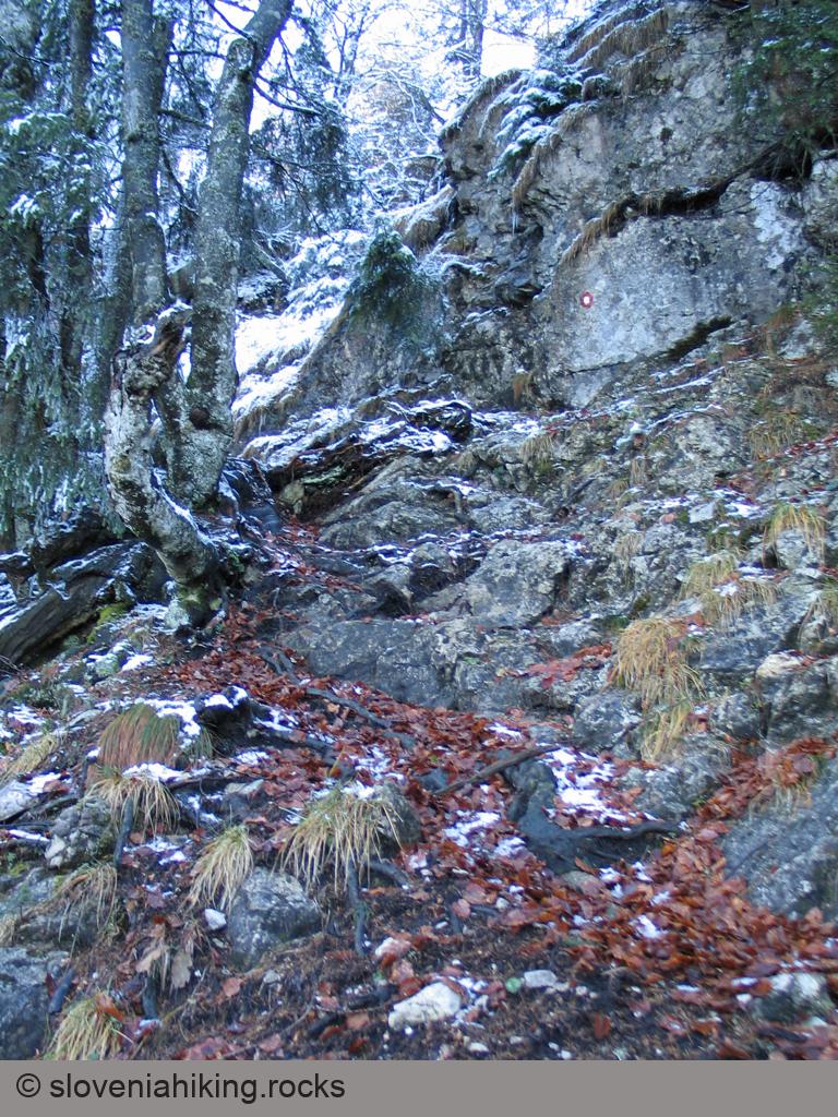
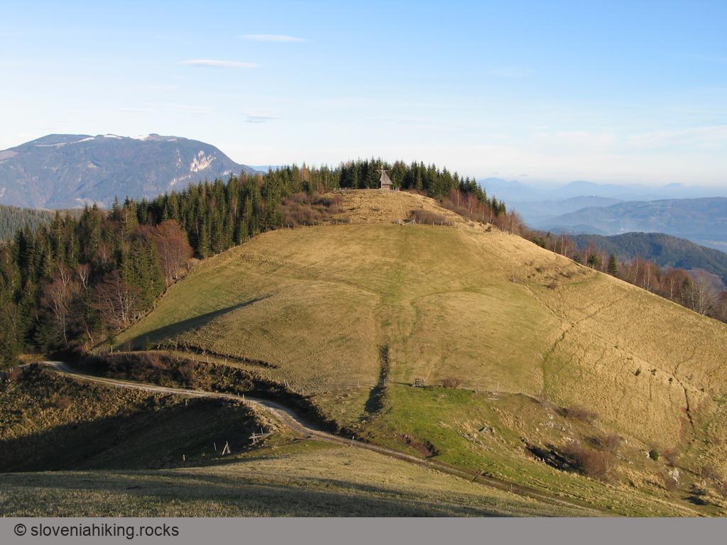
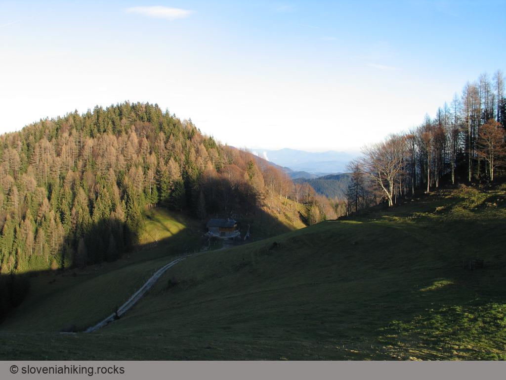
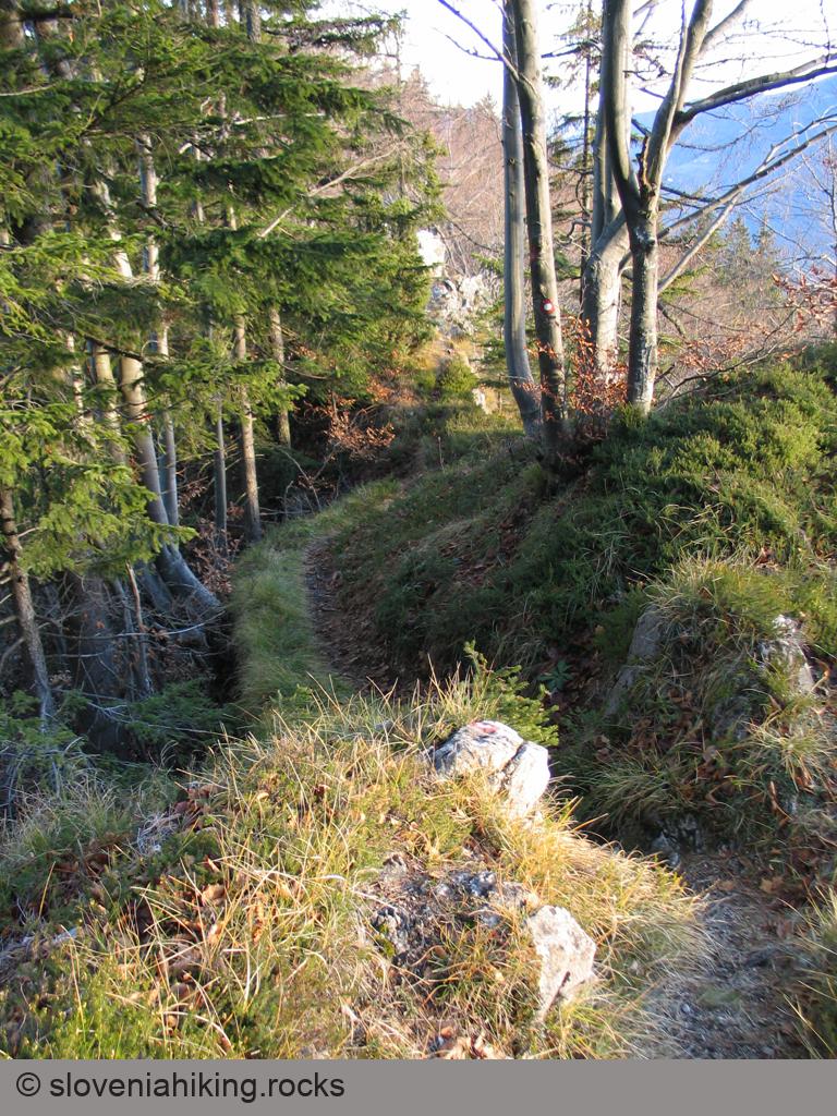
Photo Gallery


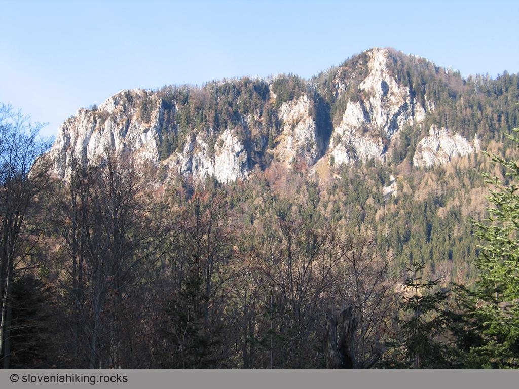
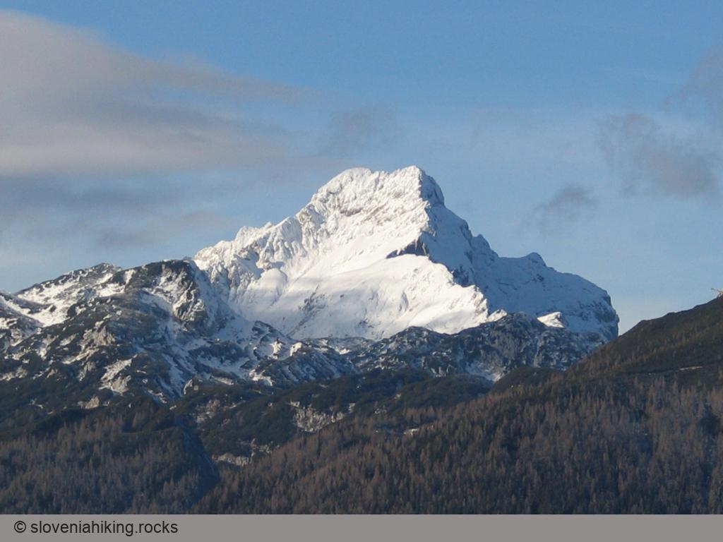


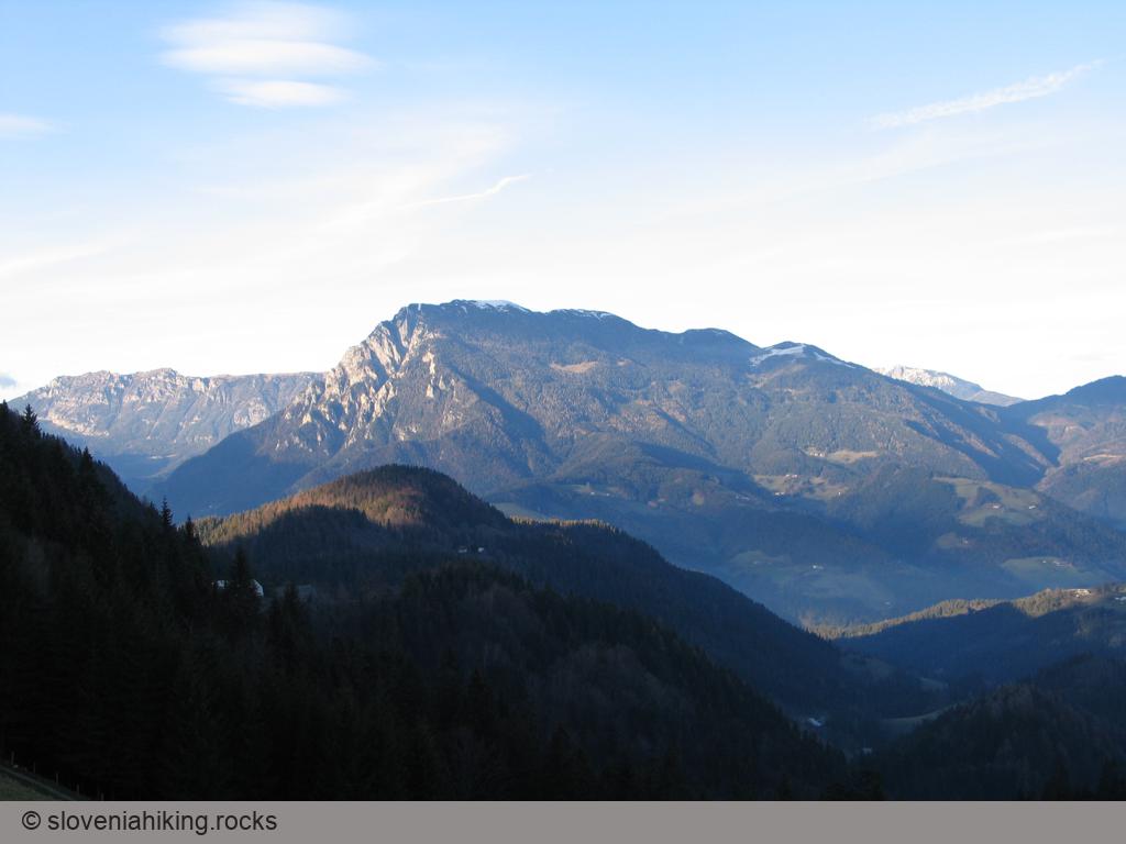

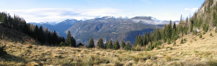
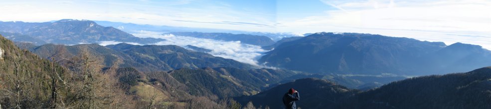
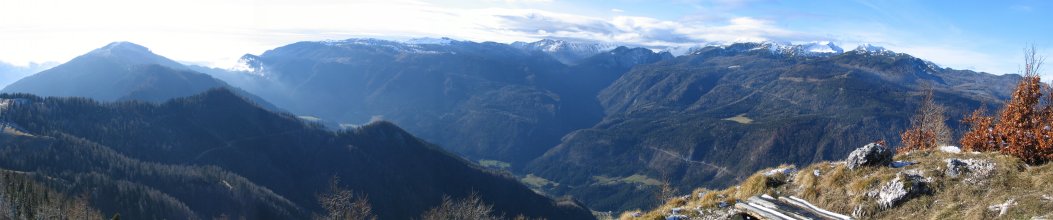
Views from the Top
Map of the Route
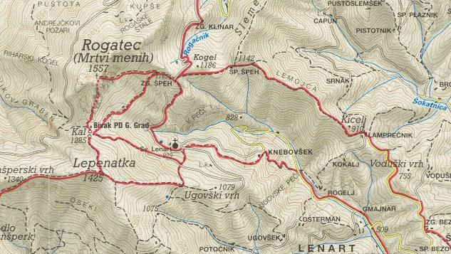
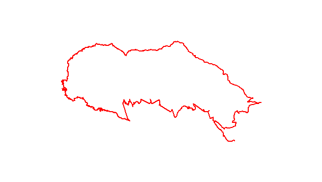
The map shows the path we took as recorded by the GPS receiver. Never trust a GPS track wholeheartedly; rely on your senses and maps.