Hiking in Slovenia » Vipava Valley » Nanos » Nanos (Pleša) from Abram
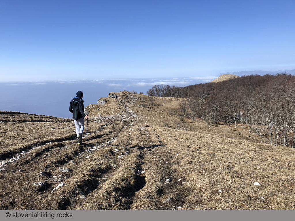
The hike across sunny Nanos meadows from Abram (a 500-year old farm situated 800m above the Vipava valley) is my favorite way to reach Pleša, the most prominent Nanos peak. We love taking the hike in May and June, enjoying the wildflowers, or doing it in late autumn or early spring when the soil is still frozen.
At a Glance
- Difficulty
- Easy hike across sunny meadows and sparse forests
- Altitude
- 1262 m
- Average time
-
Abram - Pleša: 2 hours
Return: 2 hours
Total: 4.5 hours
- Elevation gain
- 560 m
- Coordinates
-
Start: 45.819912,14.019444
Peak: 45.772613,14.053047
In a nutshell
- Drive to Abram, and park at a large parking lot next to the hunting lodge. There’s another small parking spot at the point where the marked path leaves the gravel road, but don’t count on parking there during weekends.
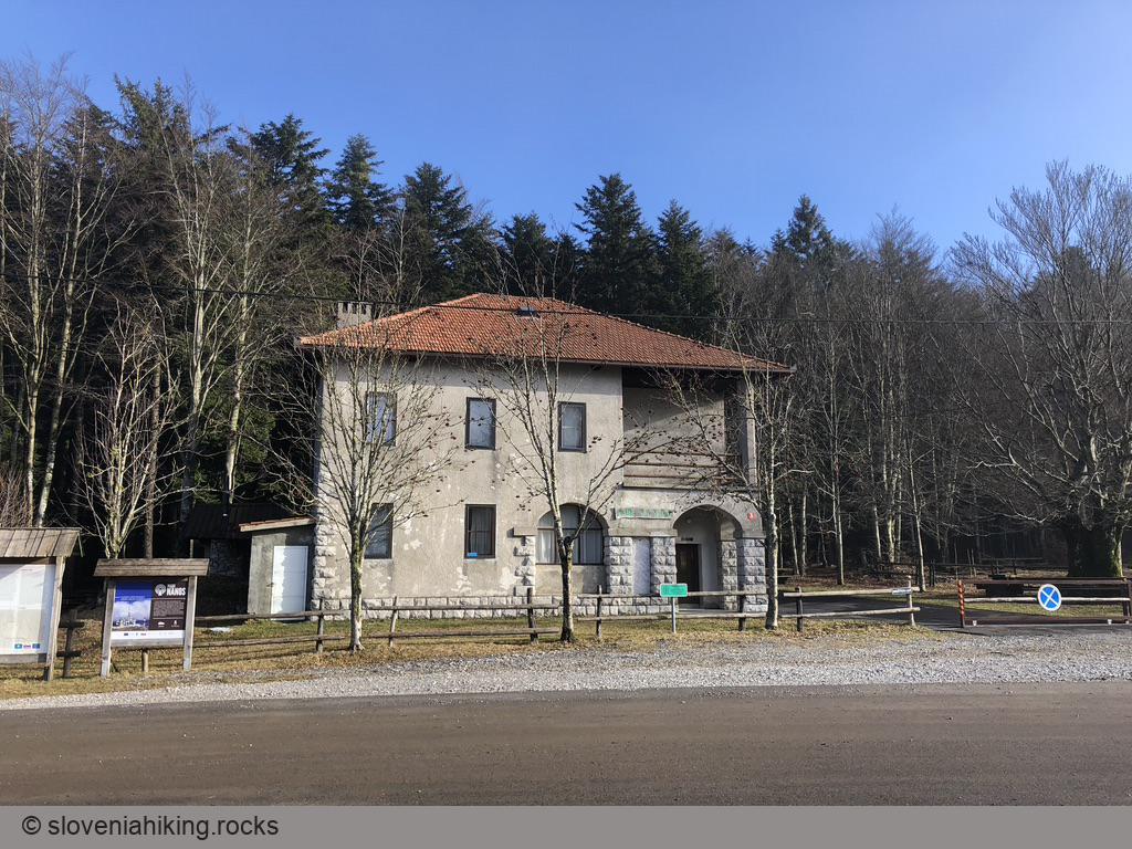
- Follow the signs toward Vojkova koča (Vojko’s mountain hut). The waymarks will guide you along the asphalt road, which quickly turns into a gravel one.
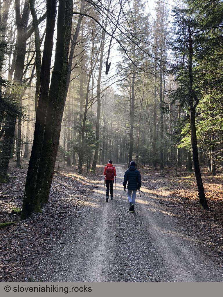
- After a nice easy hike through the forest (hint: try to be there early enough to enjoy the sunbeams in the mist), the marked path turns left onto a footpath. You might try to park here.

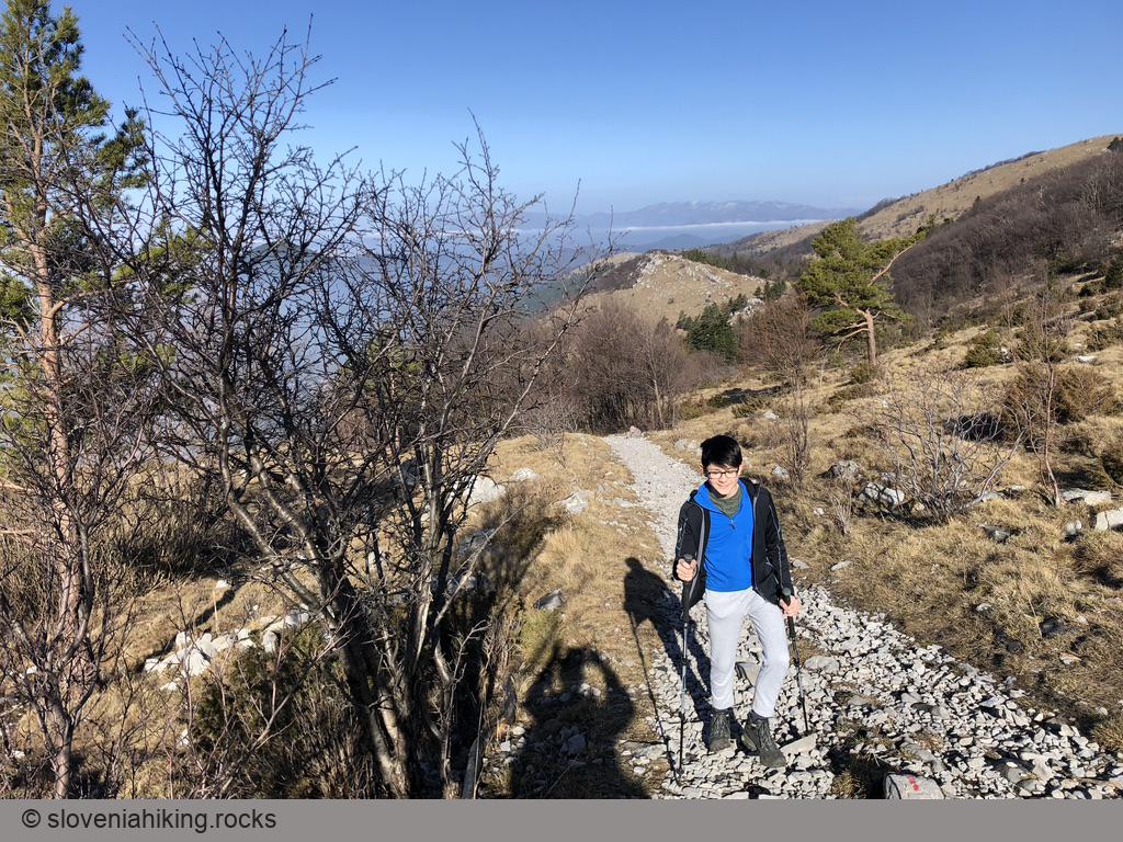
- The footpath traverses meadows and occasional forest edges until it hits a gravel road.
- Descend the gravel road for ~100 m until you get to a steep rocky dirt trail. Turn left and follow the waymarks.
- The trail takes you across a sunny meadow and through a pine forest until it merges with a dirt trail coming from the left. Follow the downhill trail to the next gravel road.

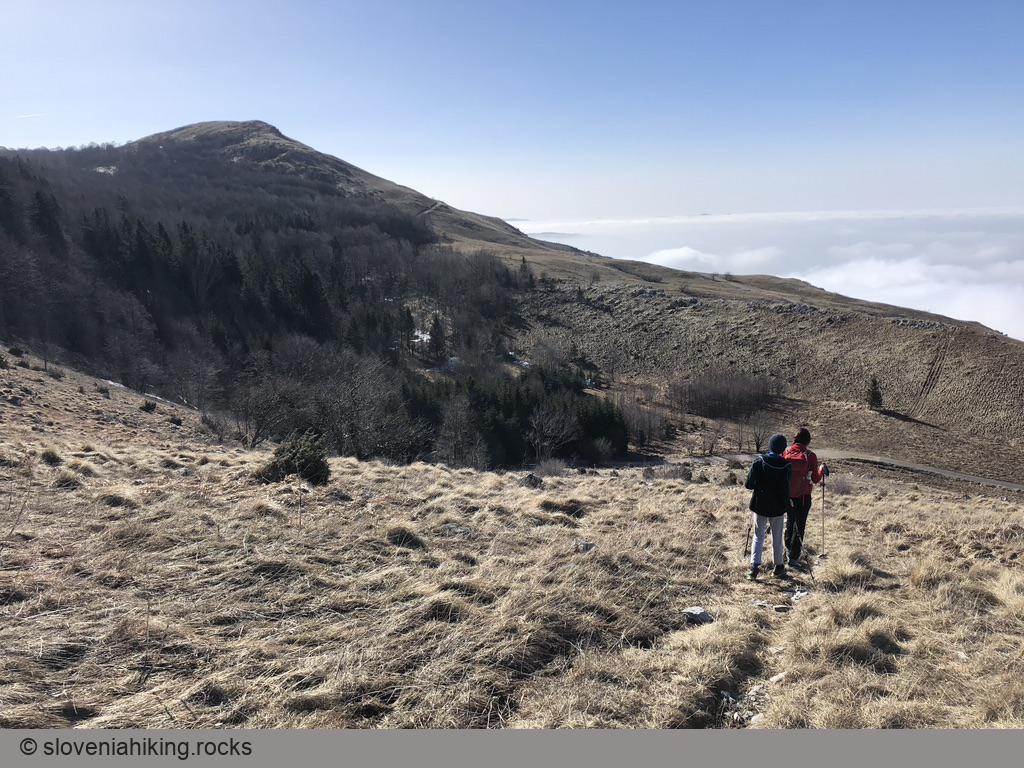
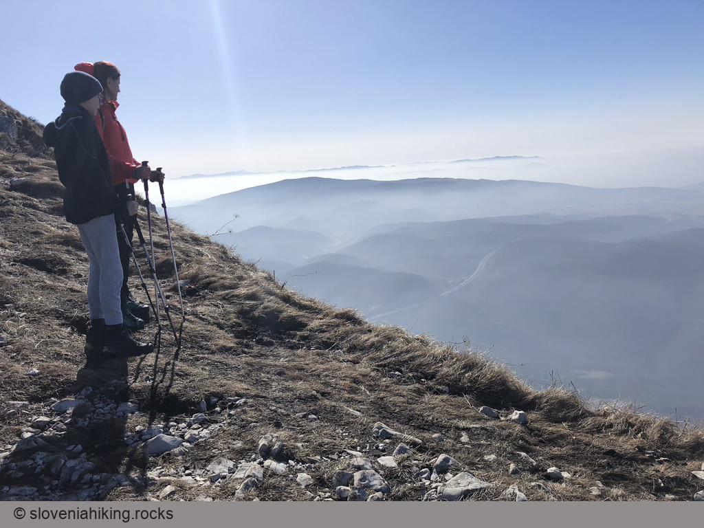
- The marked path takes a shortcut across a sparse forest and gets back to the gravel road a few minutes before the road reaches Vojkova koča, where you’ll find cool shadows (most welcome in spring and summer) but absolutely no view. Don’t worry – a spectacular view is waiting for you at the edge of the Nanos plateau.
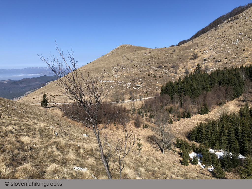
On the way back, take a detour across the sunny southern slopes of Grmada (the first bare hilltop on the way back):
- Follow the gravel road until it emerges onto the meadows.
- Take the marked footpath (you might see signs for Razdrto or Hieronim) for a while until you spot a rocky trail across the slopes of Grmada.
- Take that trail. When it hits the now-familiar gravel road turn right, and follow the signs for Abram once you reach the point where the marked path crosses the road.
Map of the Route
The map shows the path we took as recorded by the GPS receiver. Never trust a GPS track wholeheartedly; rely on your senses and maps.