Hiking in Slovenia » Slovene Istria » Golič
Want to experience expansive meadows with beautiful vistas in the middle of nowhere? Golič, a multi-peak ridge south of Slavnik, might be just what you’re looking for.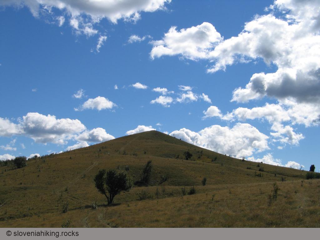
At a Glance
- Difficulty
- Long, occasionally somewhat steeper hike on a mix of footpaths, dirt trails and gravel roads
- Altitude
- 890 m
- Average time
- 5 h
- Elevation gain
- 580 m
- Starting point
- Podgorje
- Coordinates
-
Start: 45.531420,13.947151
Peak: 45.486241,13.978104
Getting There
- Park in Podgorje and hike to Kojnik
- Follow signs for Golič onto a footpath that crosses a dirt trail and eventually merges with another one.
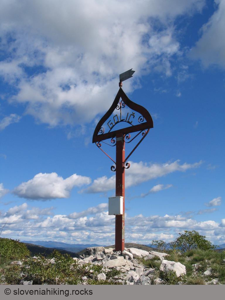
- The waymarks are sparse, but missing the peak right in front of you with a cross on the top is impossible.
Once you reach the cross claiming you got to Golič, you could declare Mission Accomplished and return to Podgorje via Kojnik, but you wouldn’t have reached the highest peak in the ridge. To get there, you have to keep following the dirt trail, and once you get that far, it would be a shame not to take a detour on the way back:
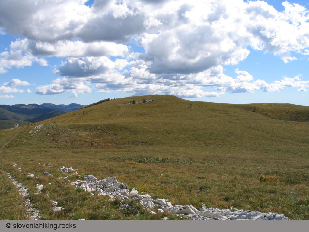
- Follow the dirt trail until you reach a series of junctions.
- Follow the signs for Lipnik/Zazid until you reach the next hilltop, where you’re supposed to turn right onto a narrow footpath.
- Don’t go there; stay on the dirt trail until it reaches the Zalipnik valley.
- Turn right and follow the dirt trail going west.
- The trail eventually transforms into a gravel road.
- When you reach a junction where you have to turn sharply onto a descending gravel road, follow that one back to Podgorje.
Note: You can’t get lost if you stay on gravel roads, keep to the right, and don’t cross the railroad.
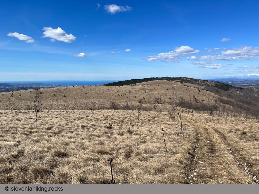
Views from the Top
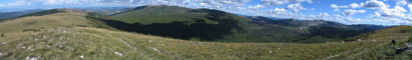
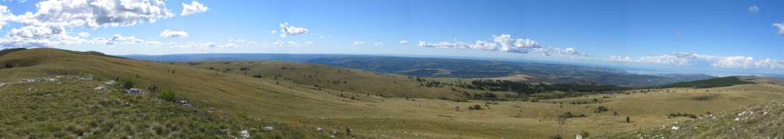
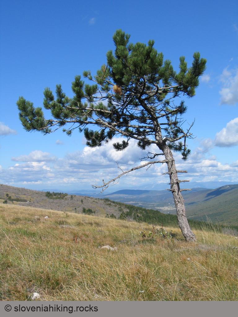
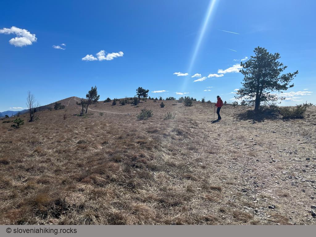
Photo Gallery

Map of the Route
The map shows the path we took as recorded by the GPS receiver. Never trust a GPS track wholeheartedly; rely on your senses and maps.